| Latitude (deg min) |
Longitude (deg min) |
Depth (m) |
Time-at-Station (hh:mm:ss) |
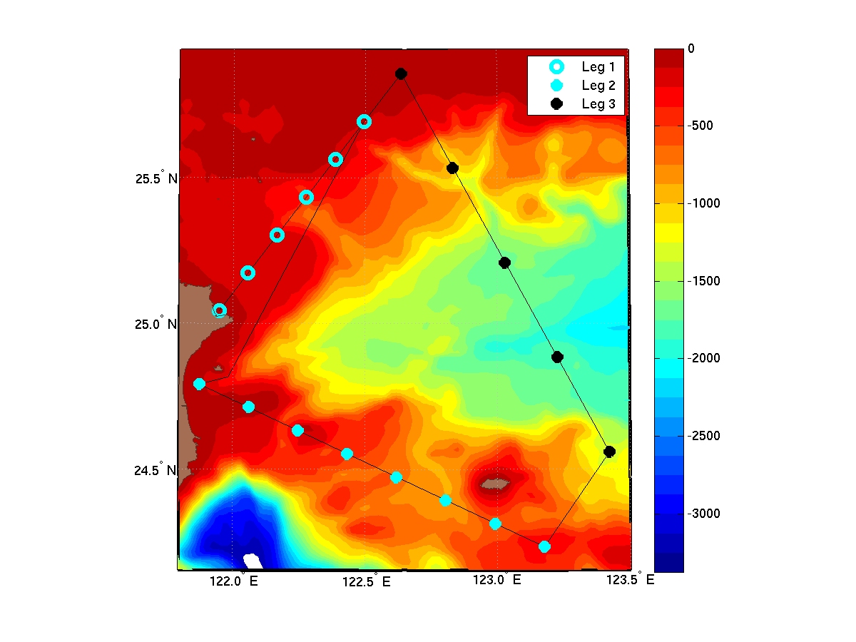
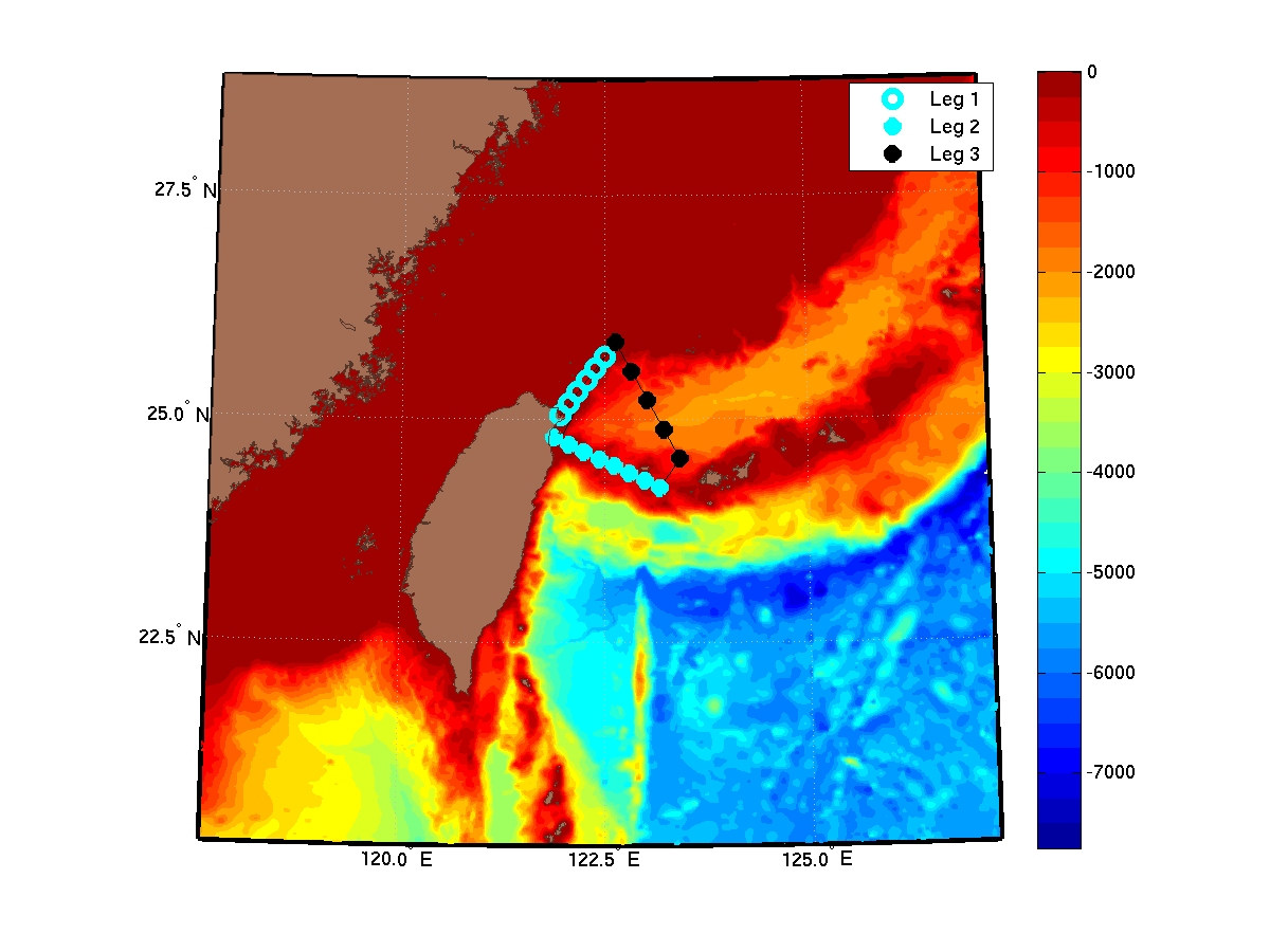
| Leg 1, 20km resolution, Total Time: 7:18:00 | |||
| 25 02.5730 N | 121 56.8005 E | 46 | 0:06:32 |
| 25 10.3717 N | 122 03.3977 E | 164 | 0:10:28 |
| 25 18.1703 N | 122 09.9949 E | 240 | 0:13:00 |
| 25 25.9690 N | 122 16.5921 E | 465 | 0:20:29 |
| 25 33.7676 N | 122 23.1893 E | 131 | 0:09:21 |
| 25 41.5663 N | 122 29.7865 E | 152 | 0:10:04 |
| Transect 1, Travel Time: 8:12:00 | |||
| Leg 2, 20km resolution, Total Time: 12:14:00 | |||
| 24 47.5193 N | 121 52.4560 E | 103 | 0:08:26 |
| 24 42.7373 N | 122 03.6154 E | 91 | 0:08:01 |
| 24 37.9553 N | 122 14.7748 E | 179 | 0:10:58 |
| 24 33.1733 N | 122 25.9342 E | 433 | 0:19:27 |
| 24 28.3913 N | 122 37.0937 E | 675 | 0:27:30 |
| 24 23.6093 N | 122 48.2531 E | 800 | 0:31:40 |
| 24 18.8273 N | 122 59.4125 E | 570 | 0:23:59 |
| 24 14.0453 N | 123 10.5719 E | 281 | 0:14:22 |
| Transect 2, Travel Time: 2:58:00 | |||
| Leg 3, 40km resolution, Total Time: 14:24:00 | |||
| 24 33.5516 N | 123 25.4212 E | 800 | 0:31:40 |
| 24 53.0372 N | 123 13.6001 E | 1813 | 1:05:26 |
| 25 12.5227 N | 123 01.7790 E | 1656 | 1:00:12 |
| 25 32.0083 N | 122 49.9579 E | 800 | 0:31:40 |
| 25 51.4939 N | 122 38.1368 E | 107 | 0:08:34 |
| Transect 3, Travel Time: 1:33:00 | |||
| Total Time: 46:39:00 | |||