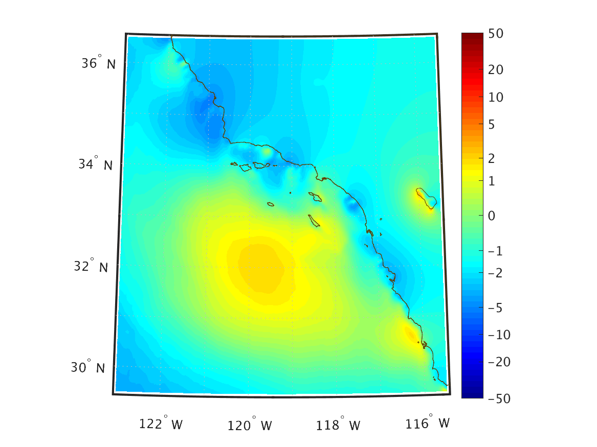
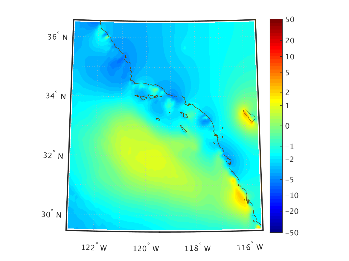
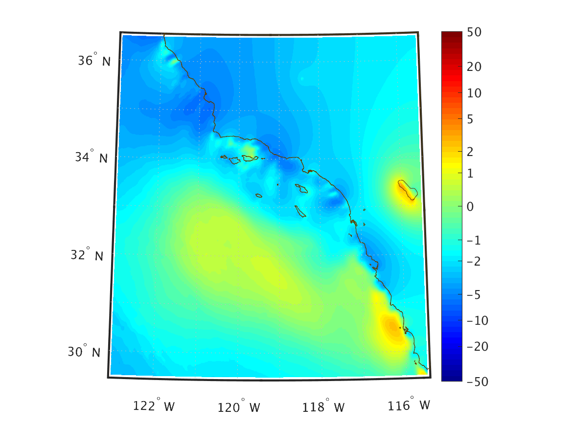
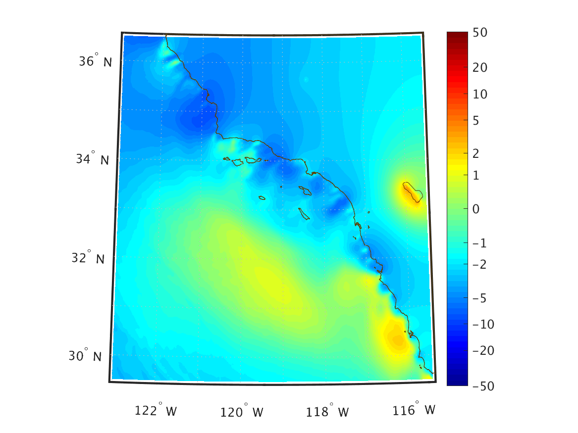
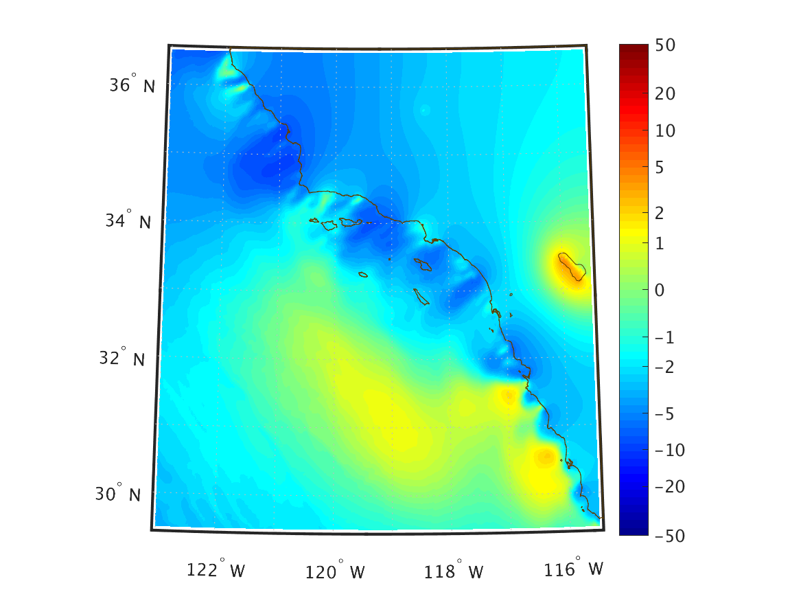
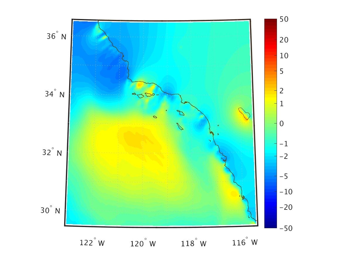
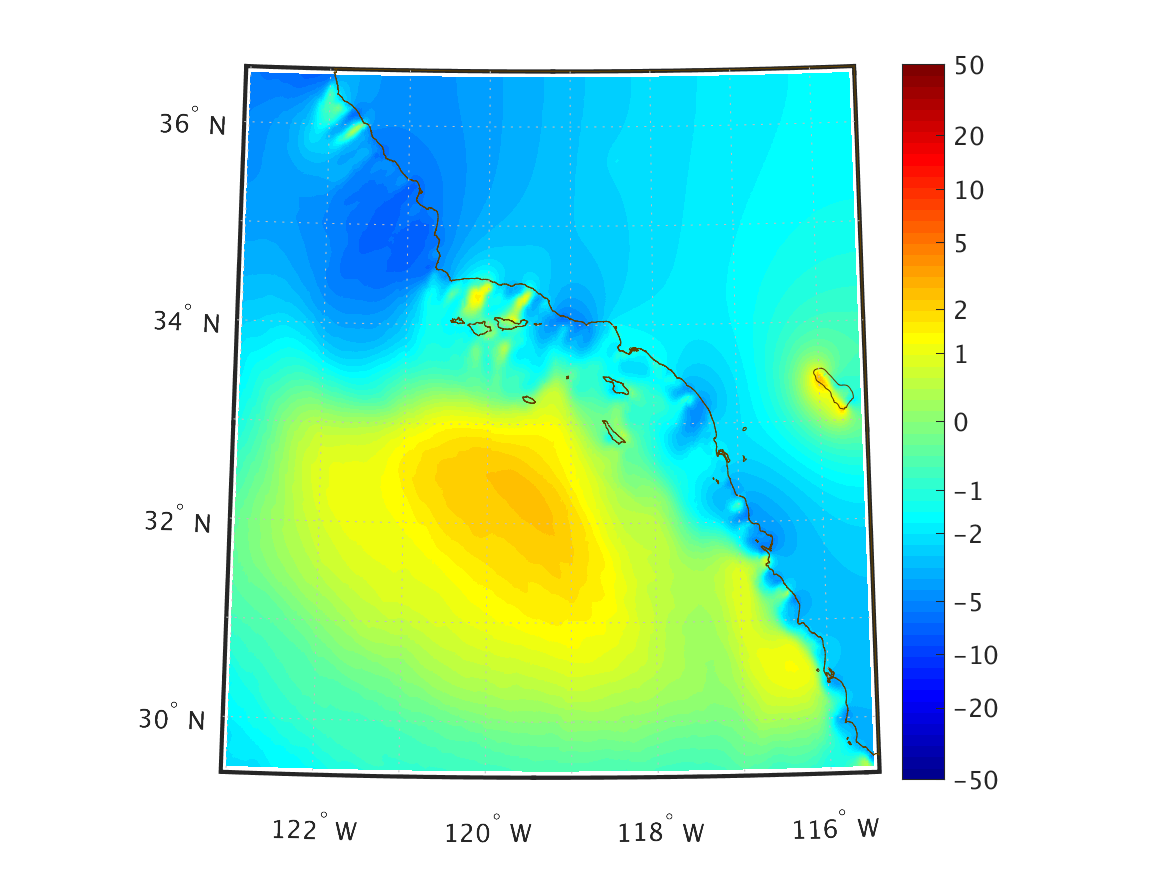
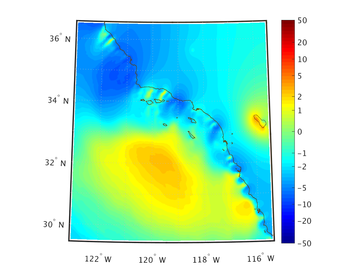
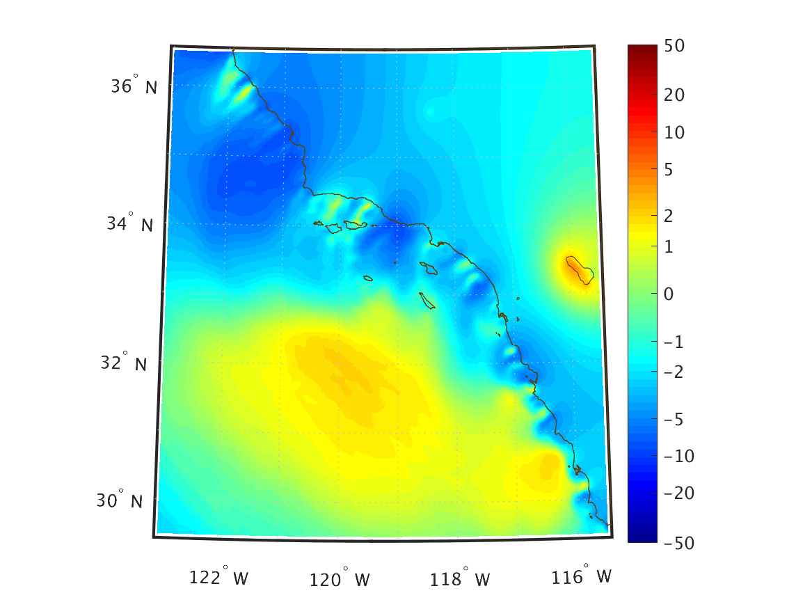
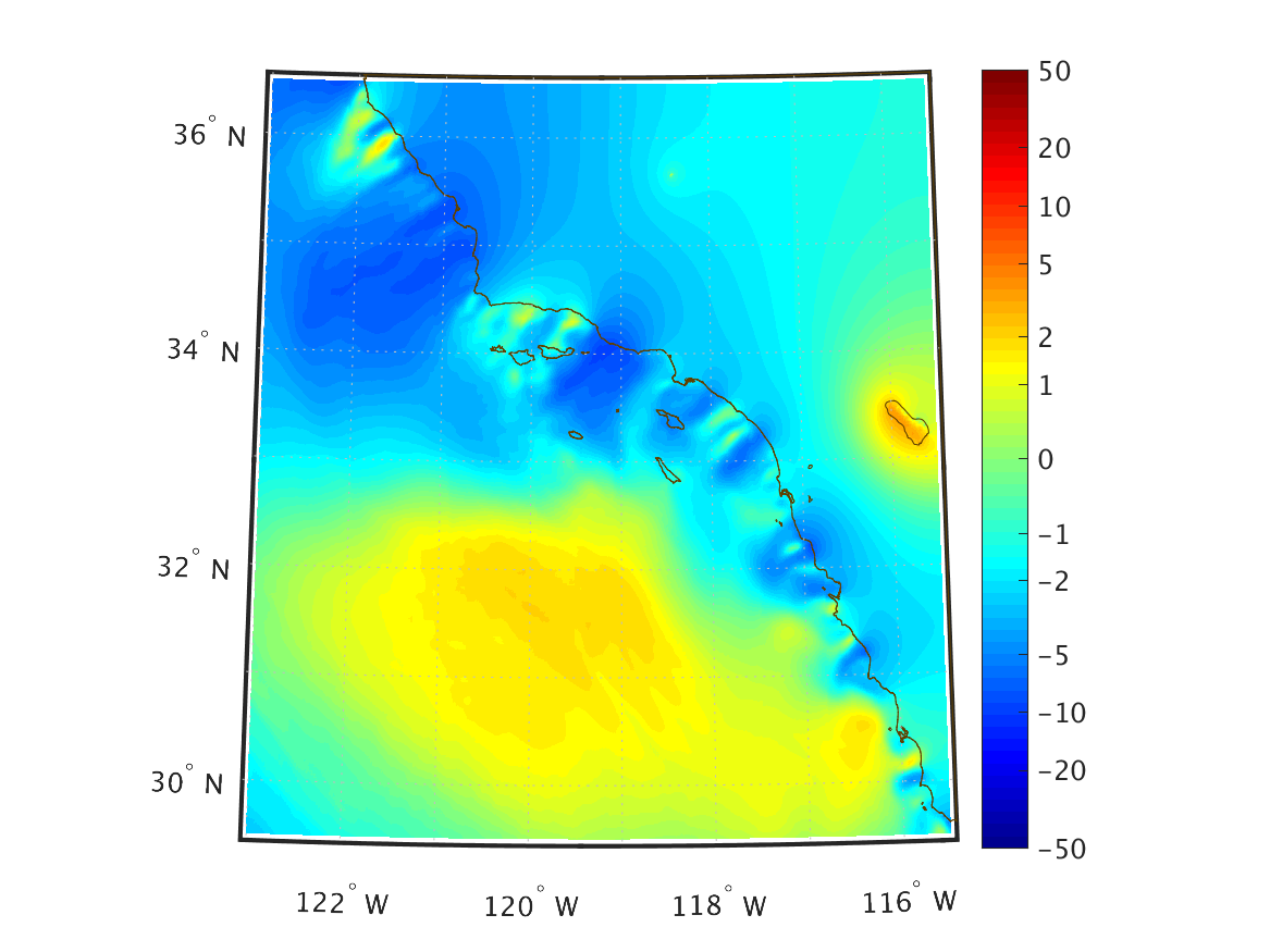
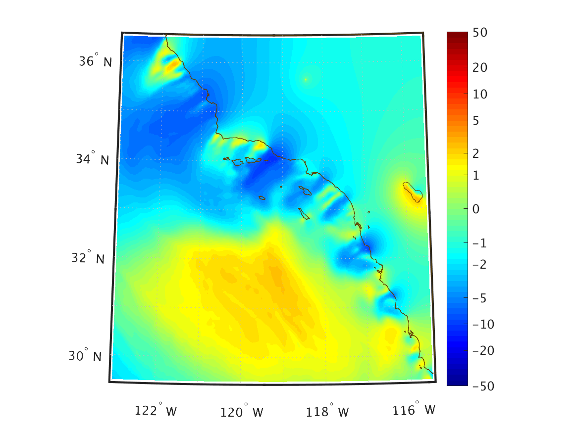
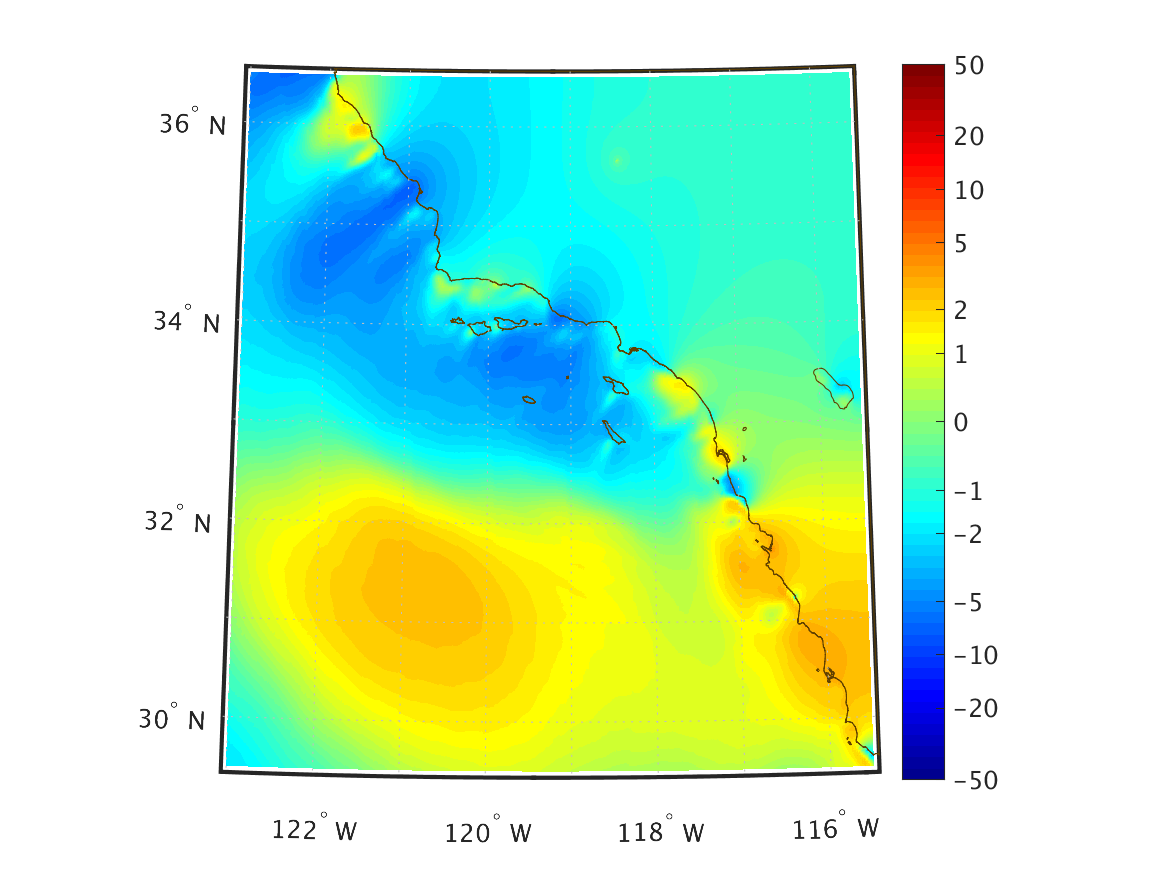
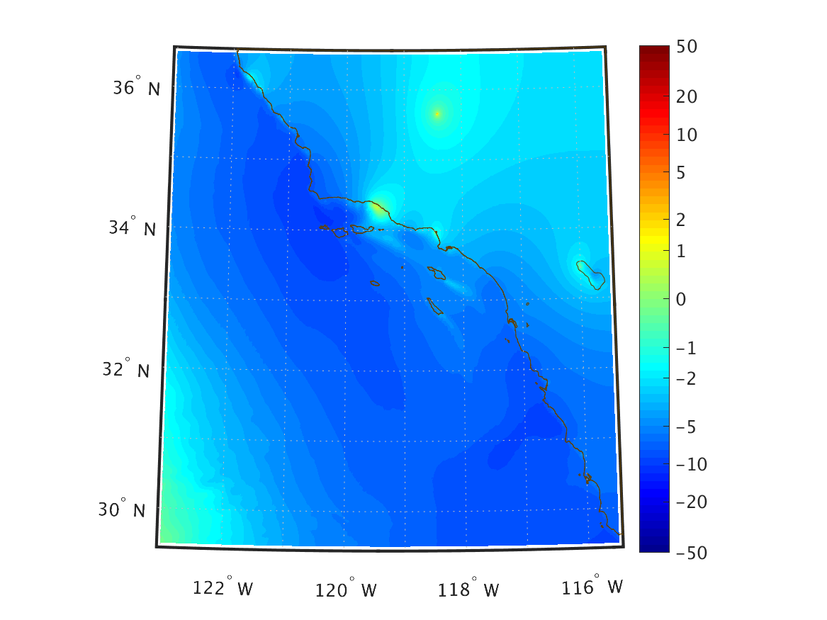
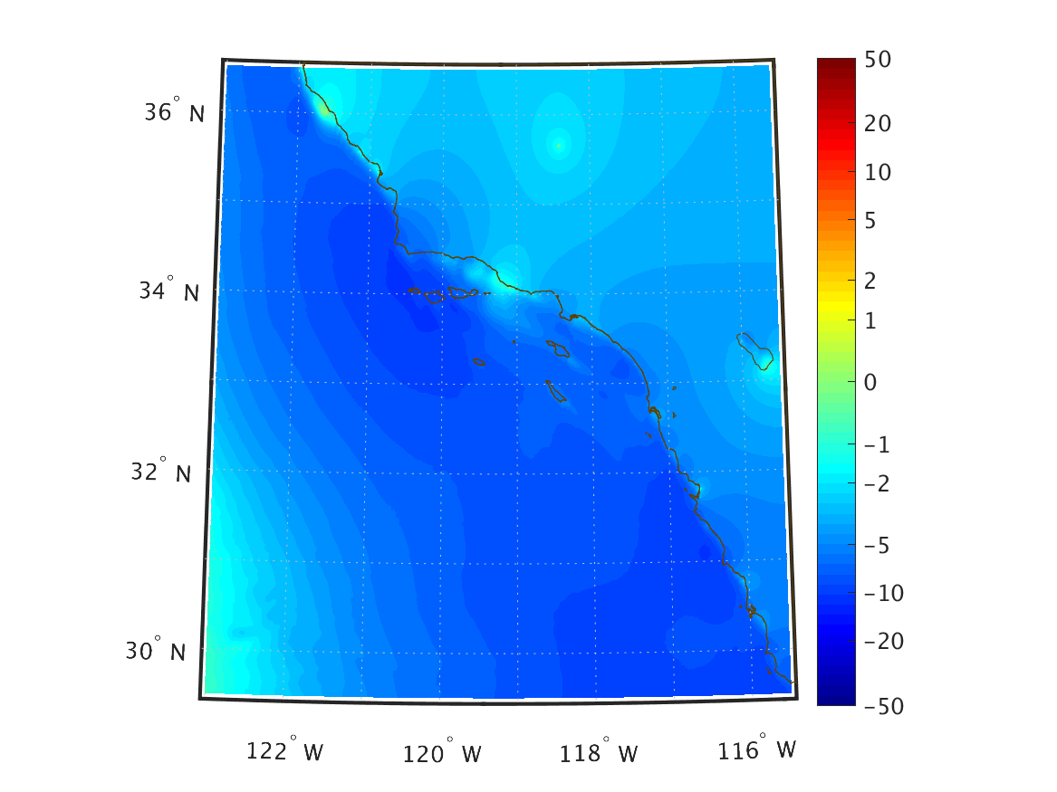
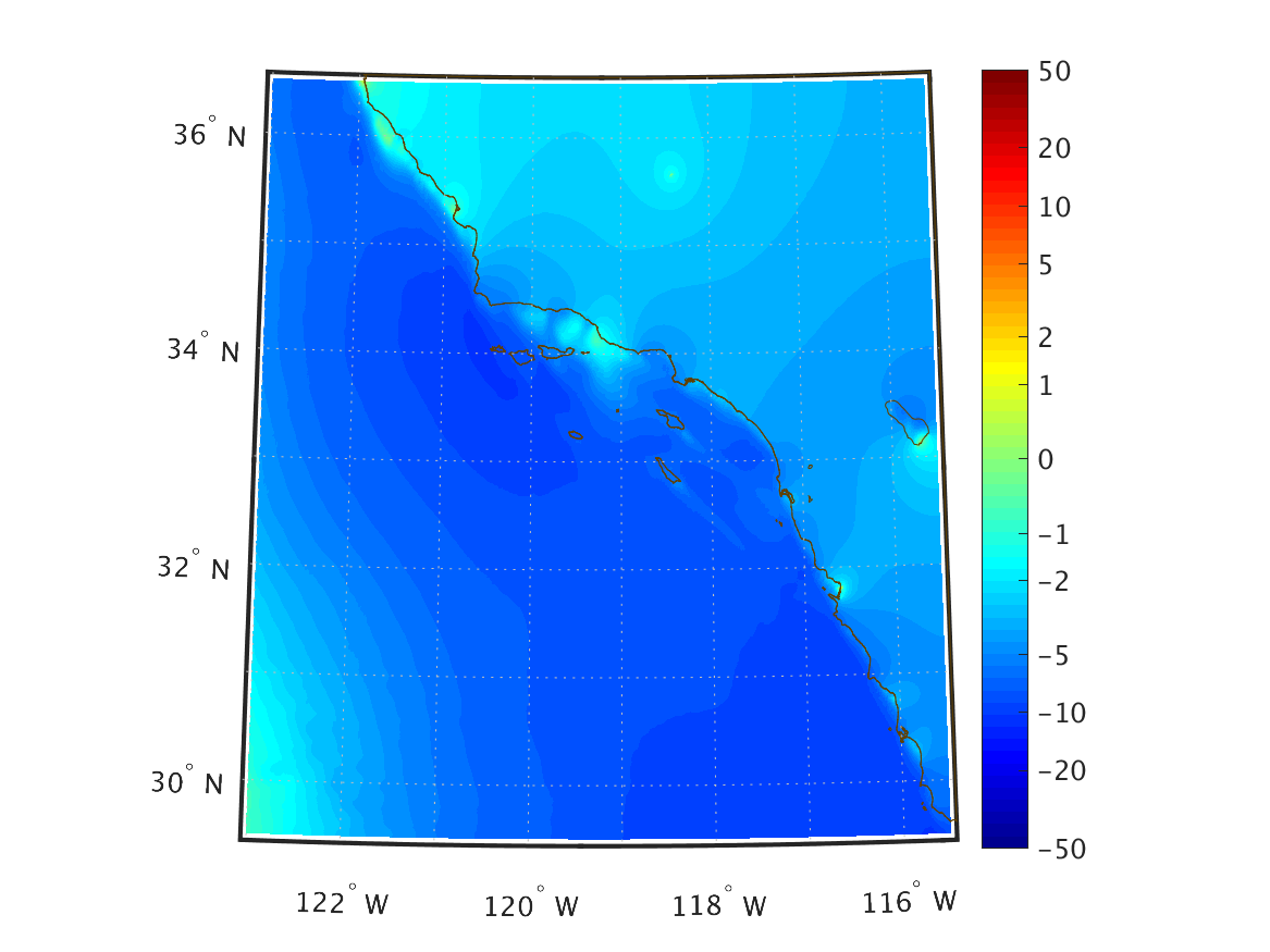
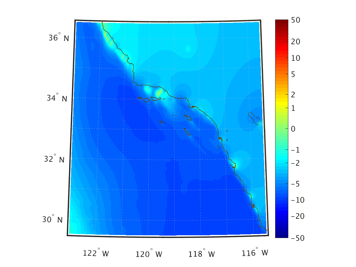
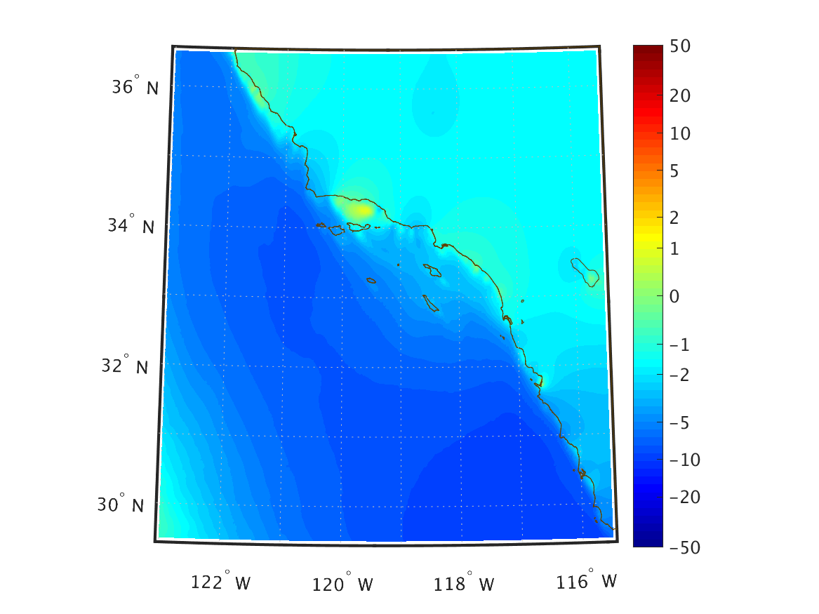
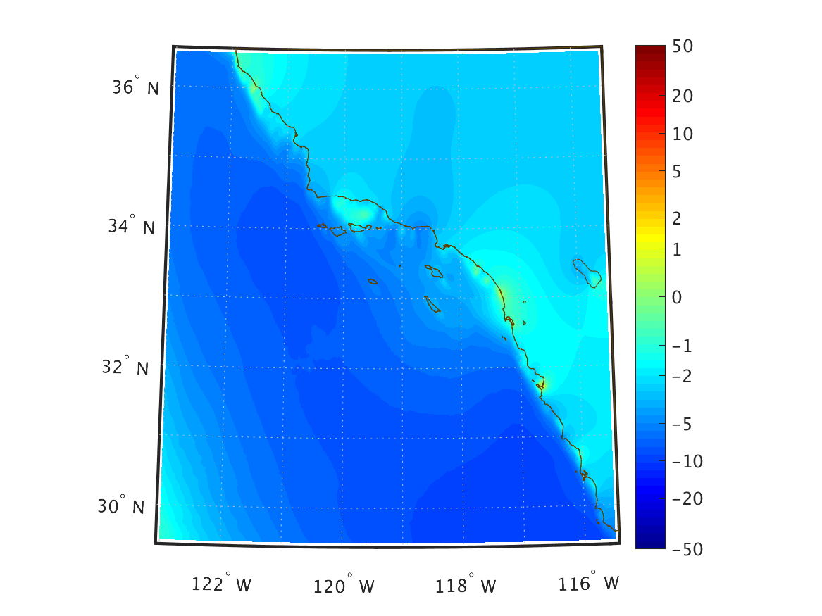
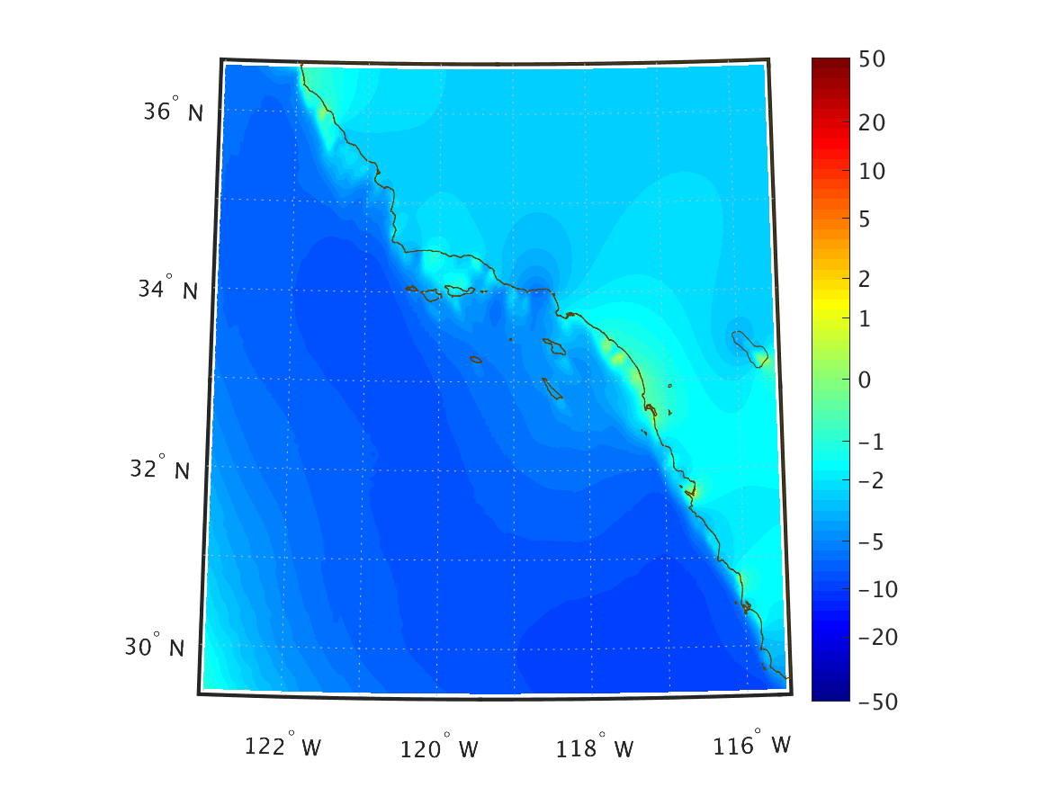
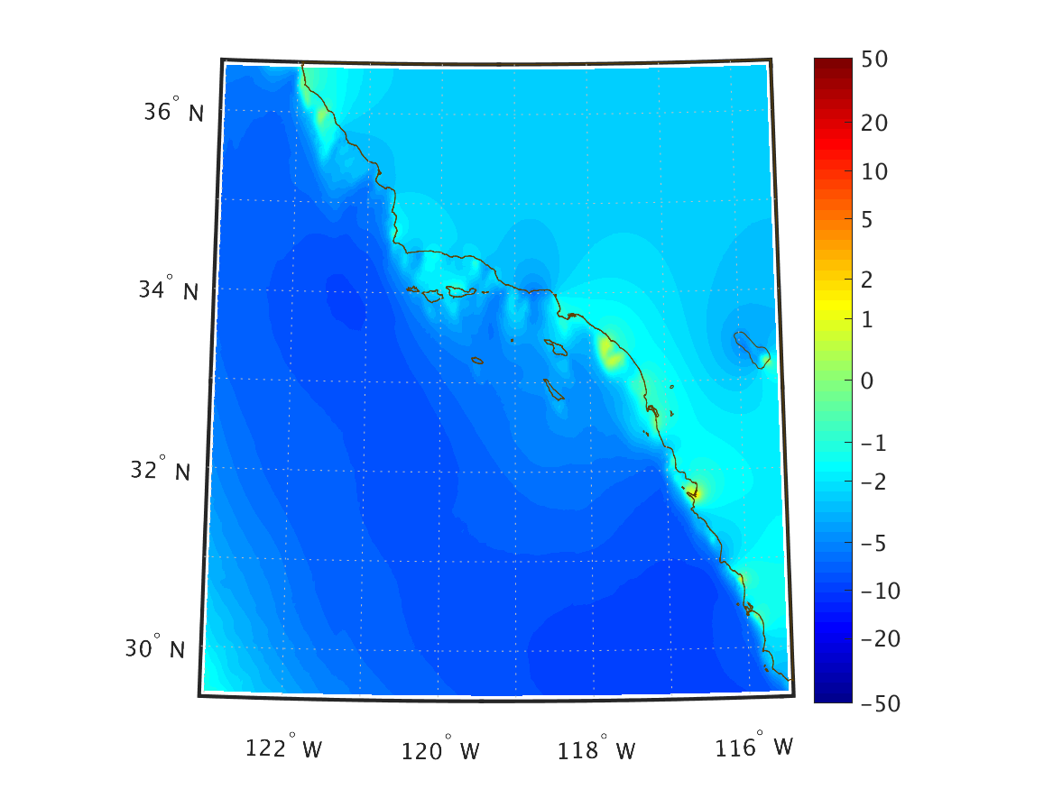
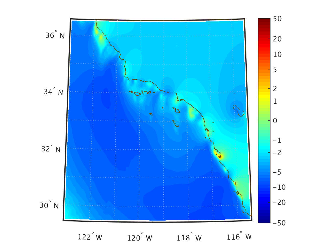
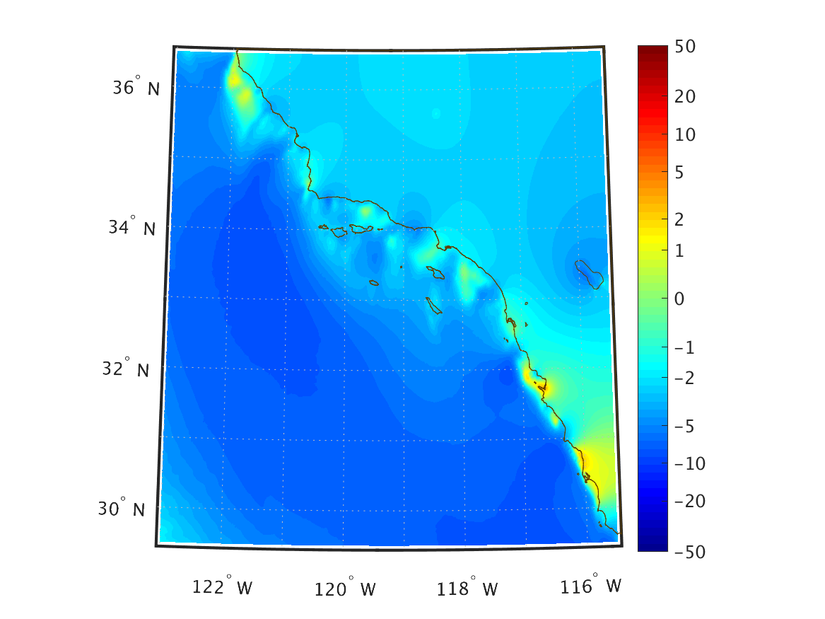
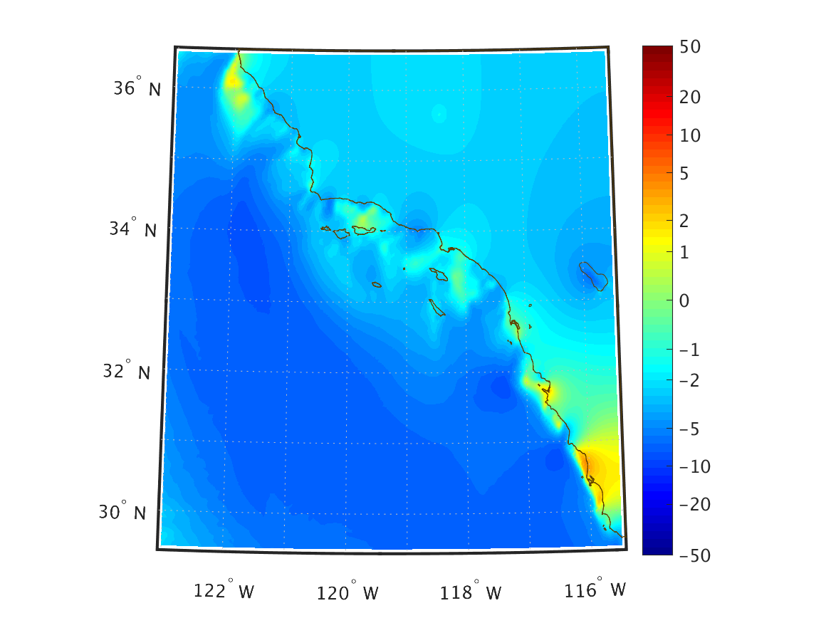
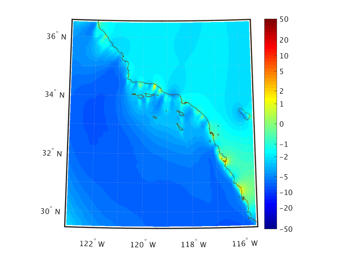
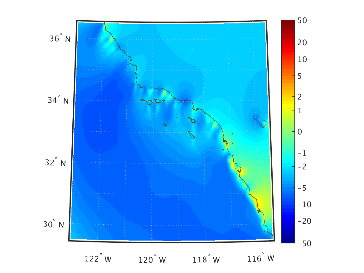
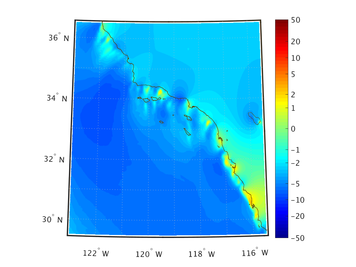
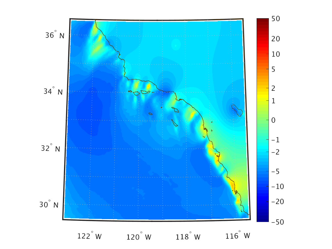
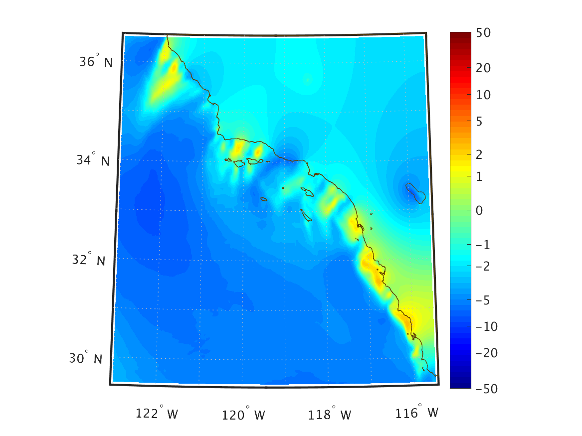
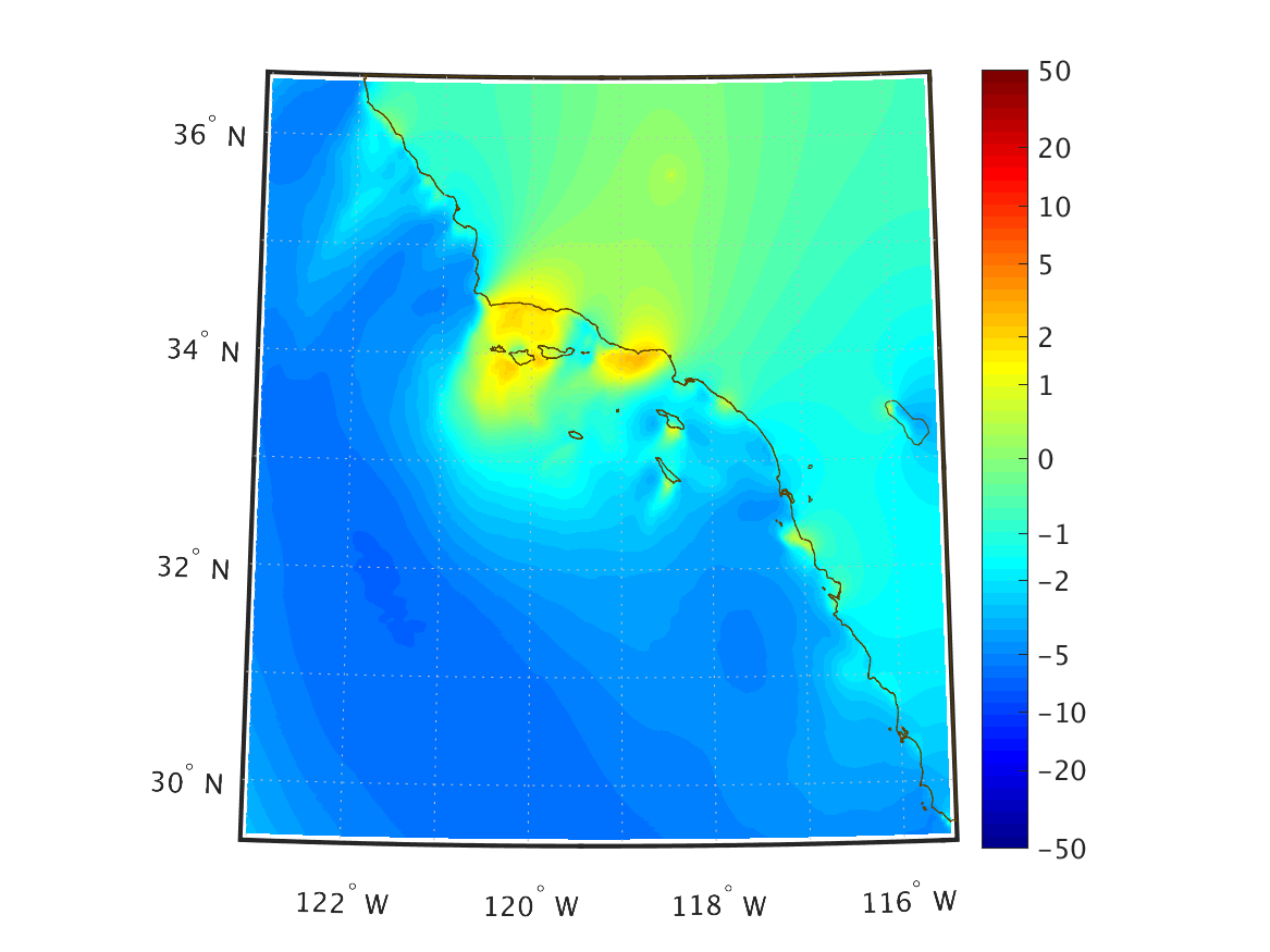
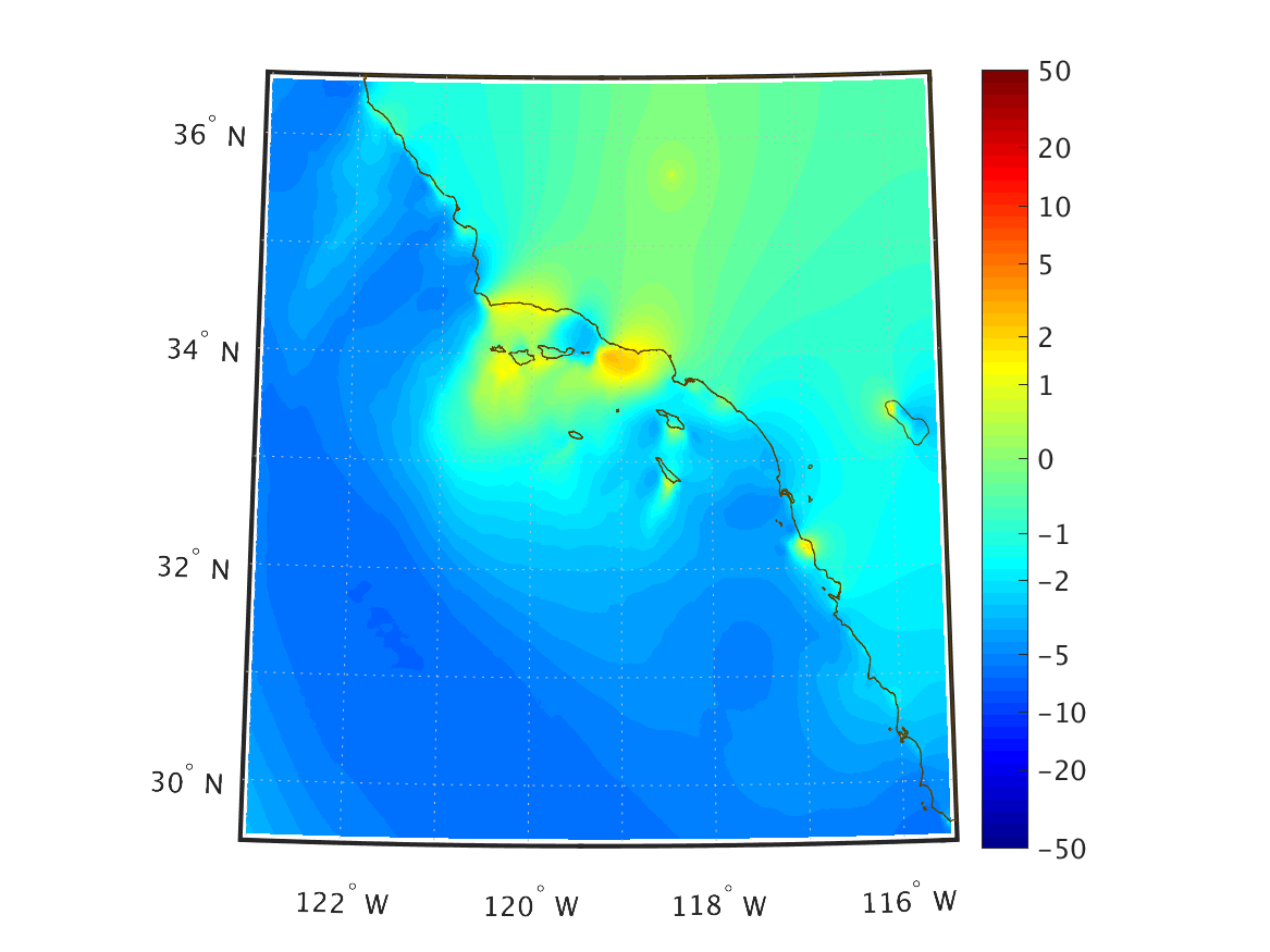
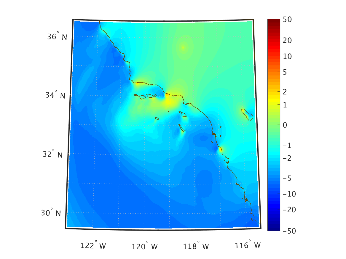
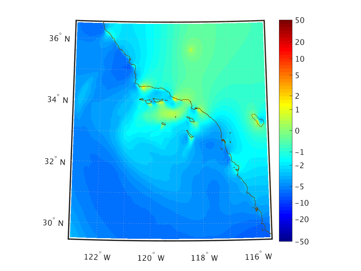
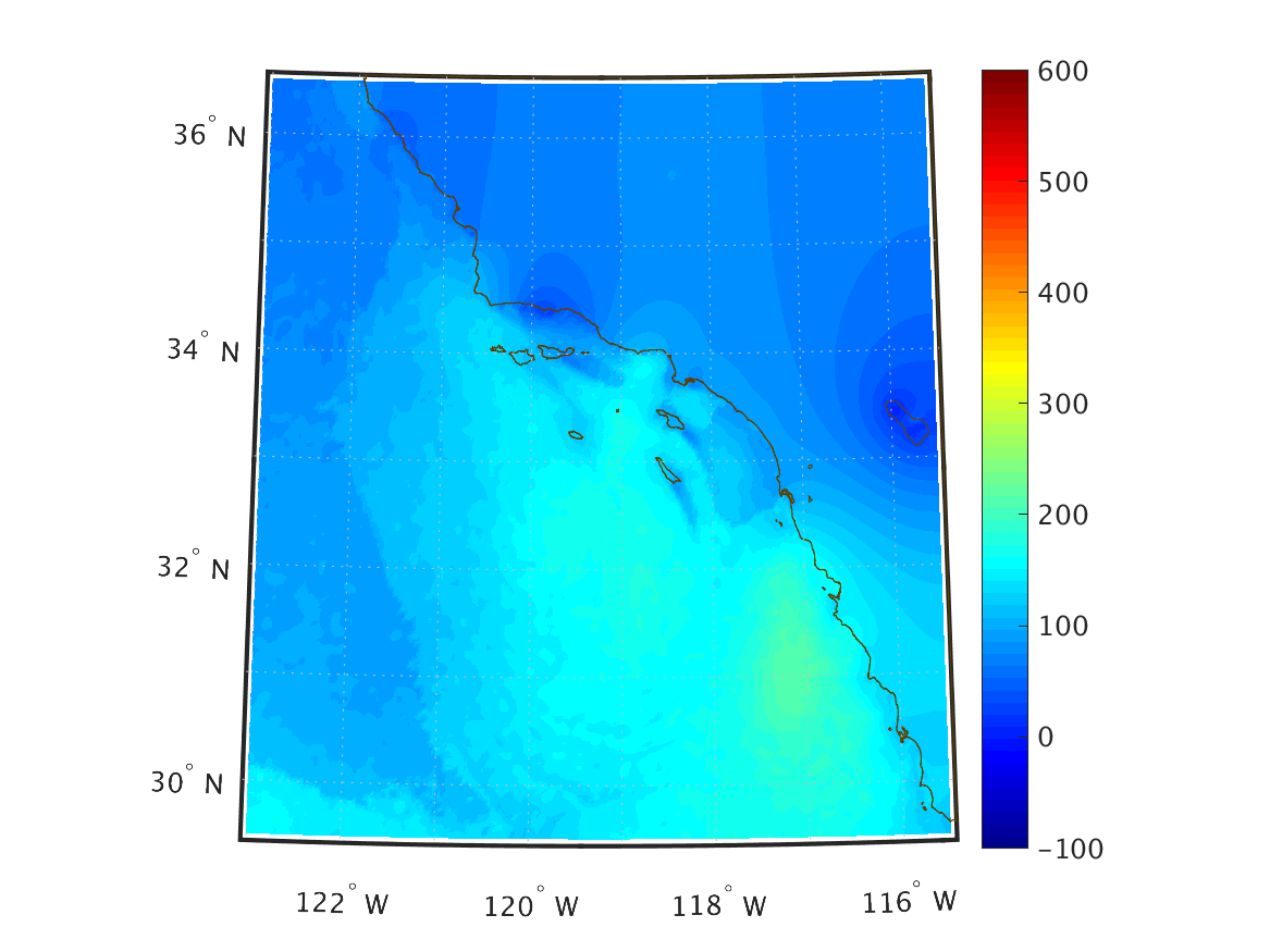
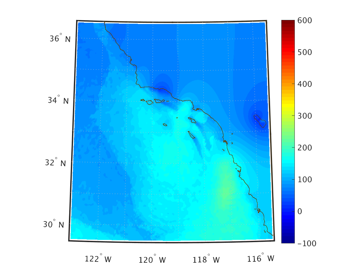
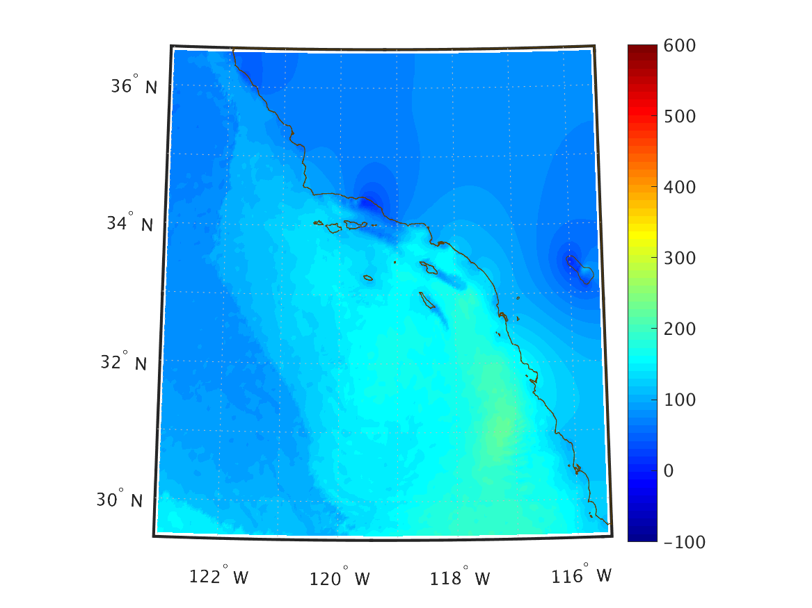
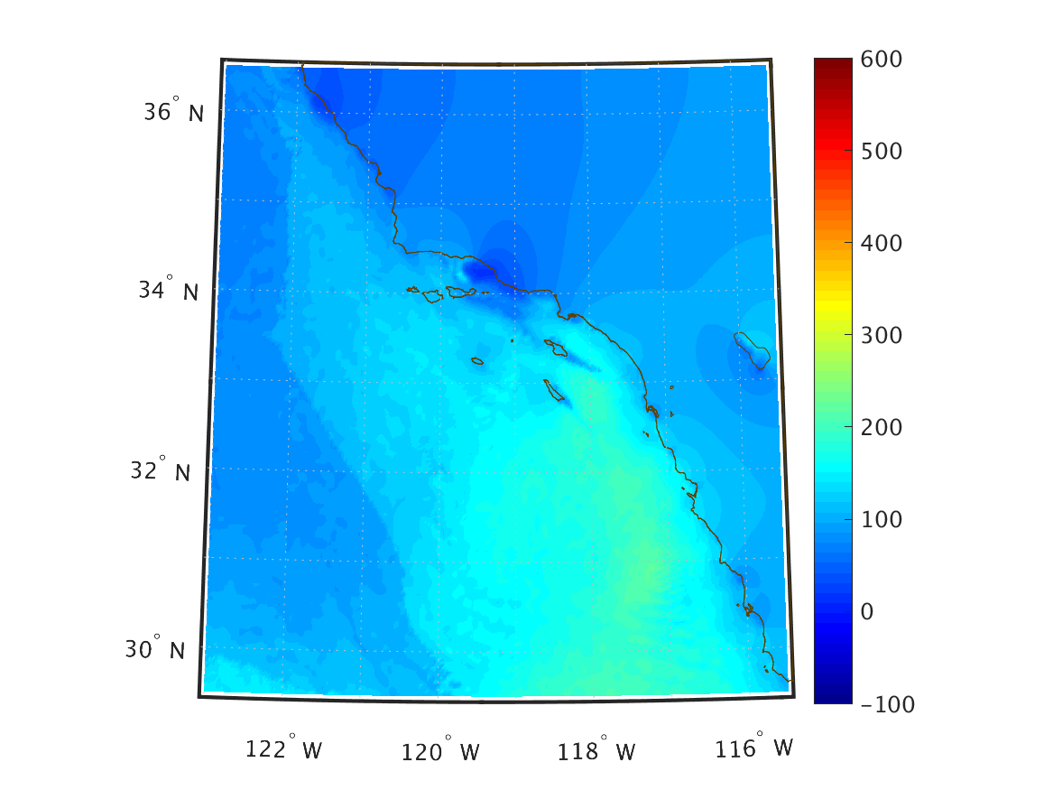
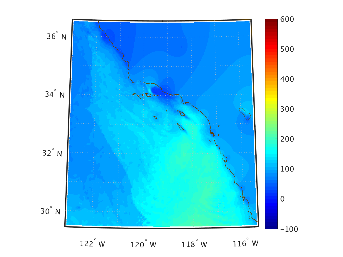
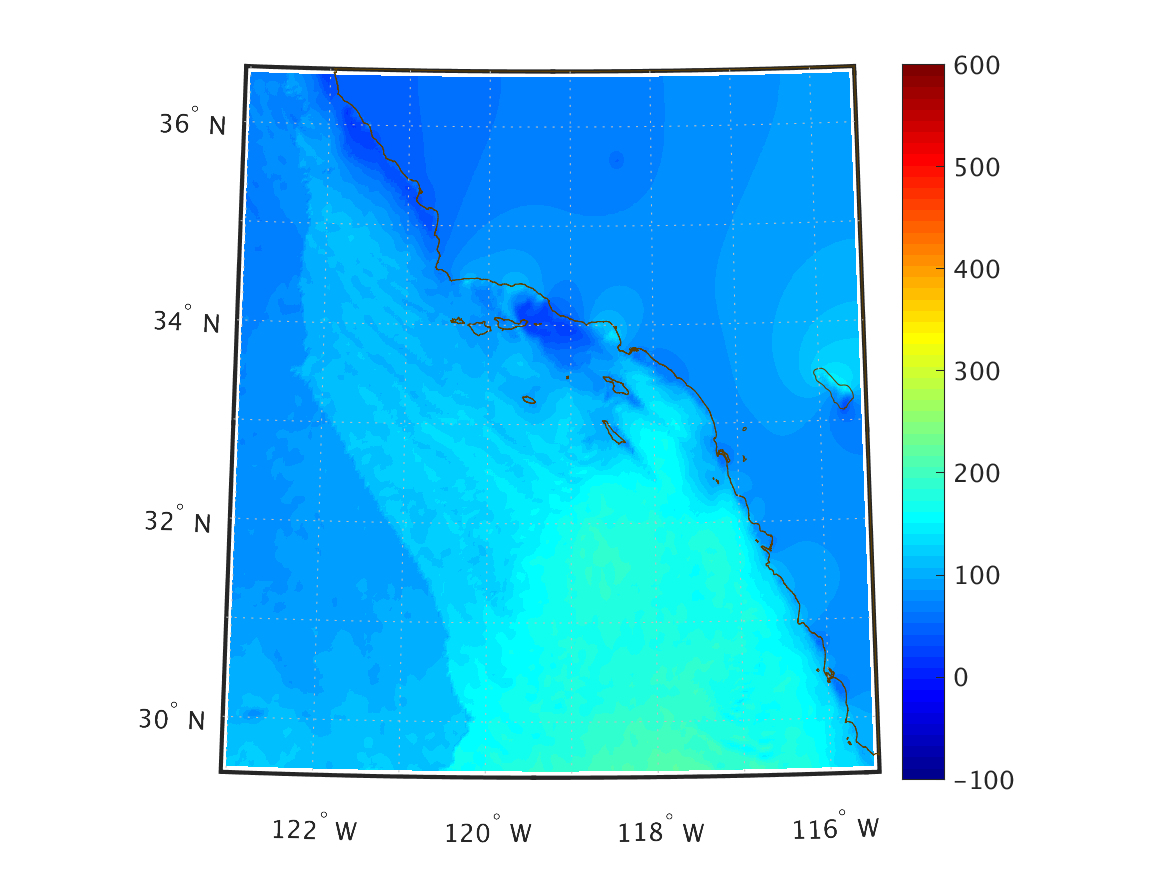
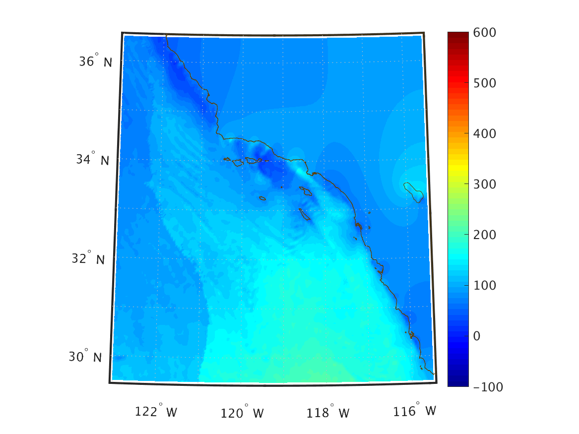
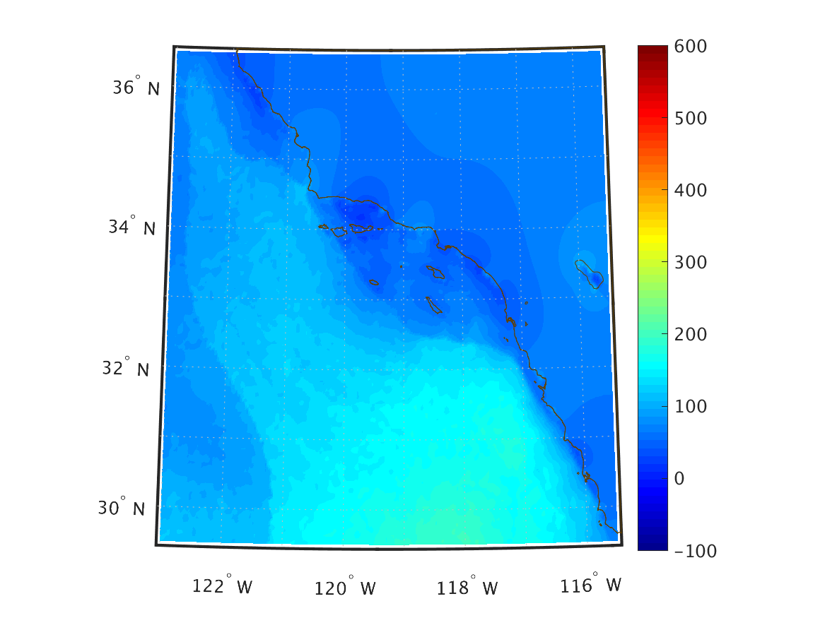
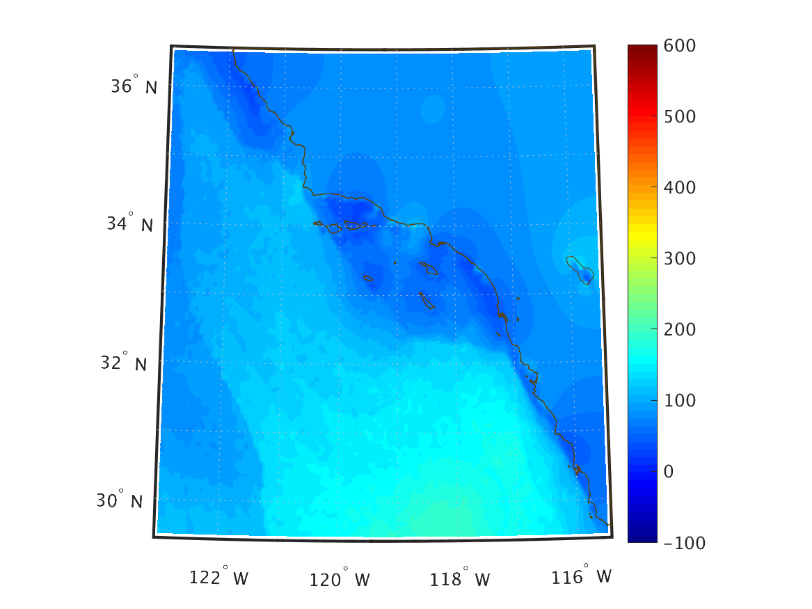
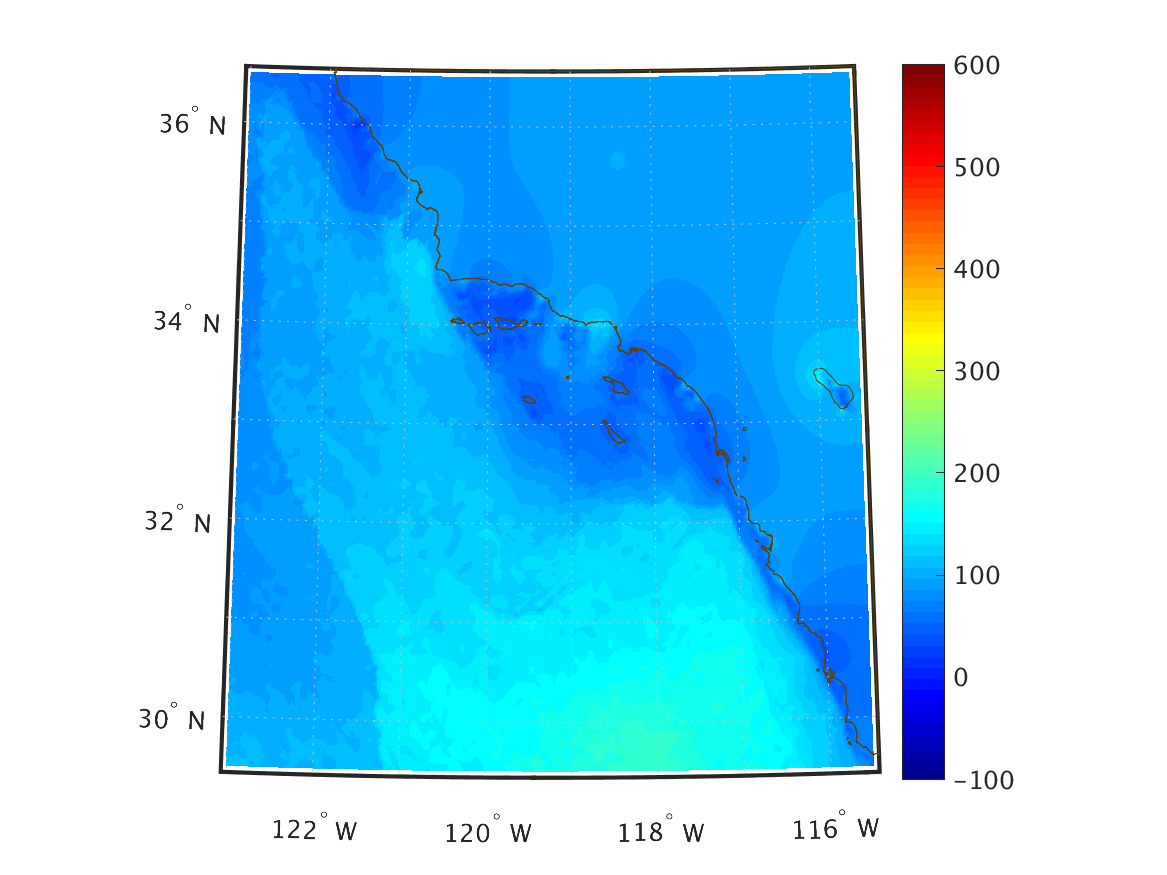
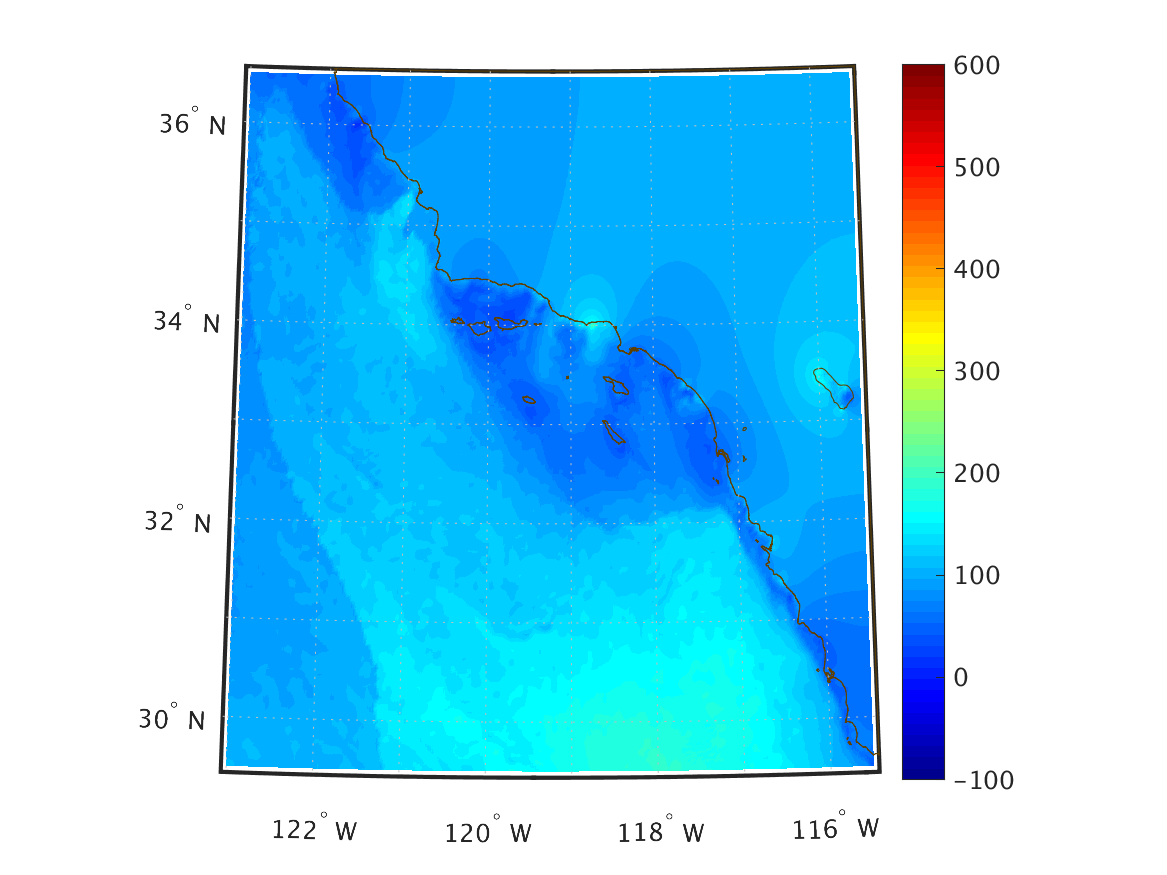
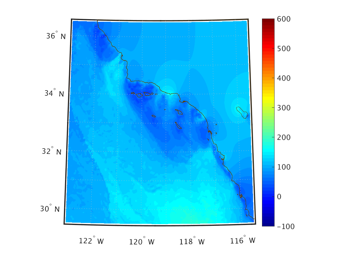
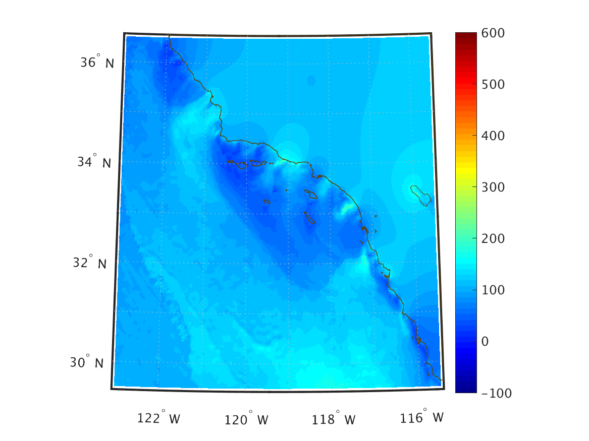
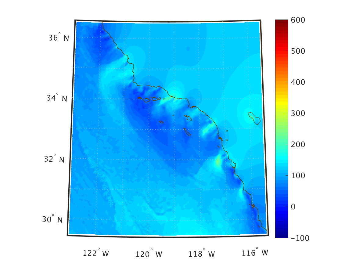
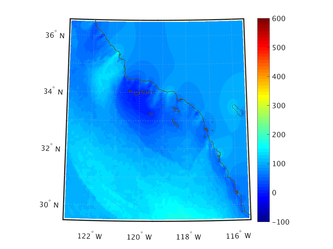
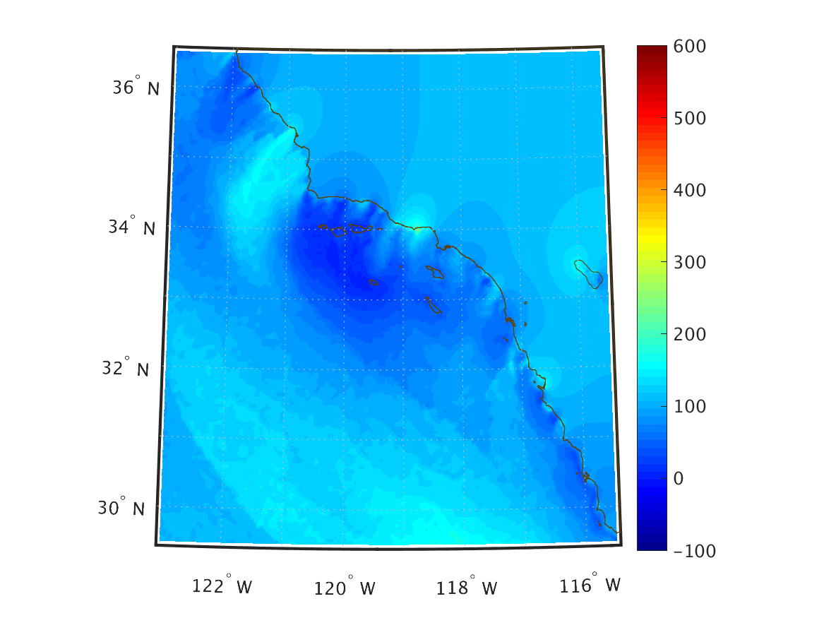
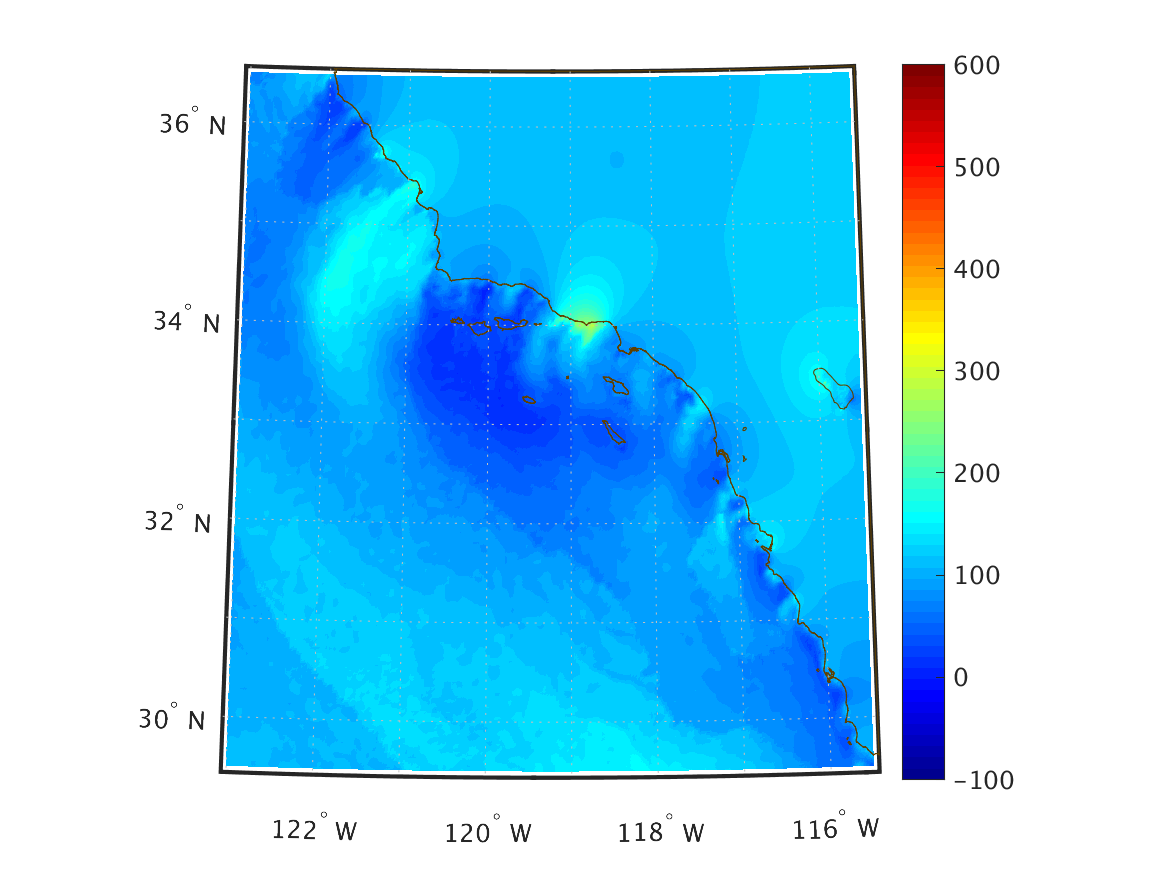
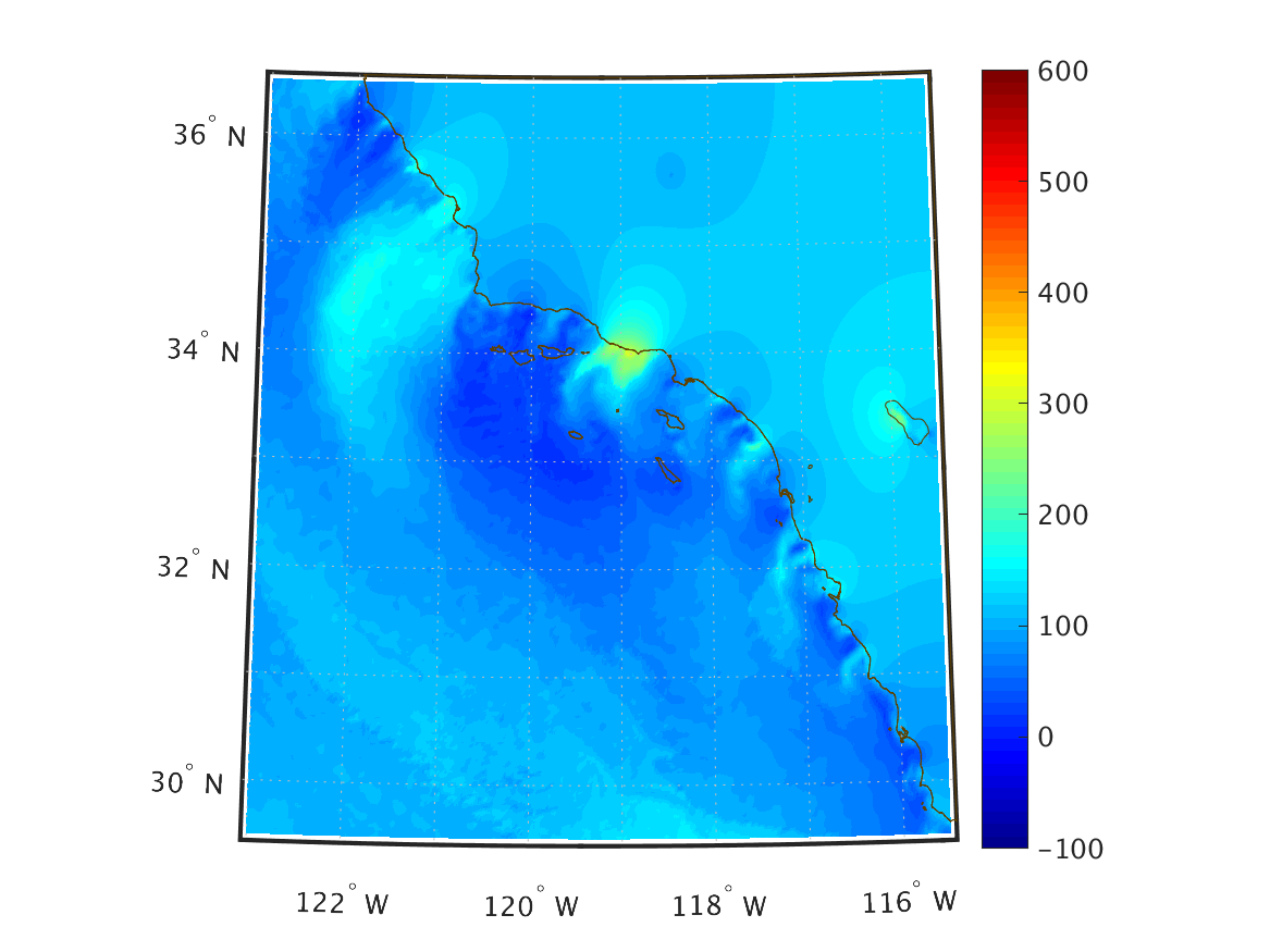
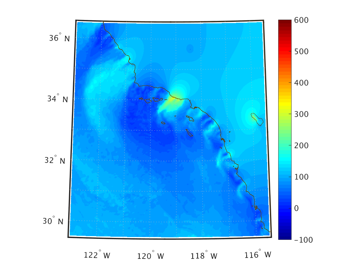
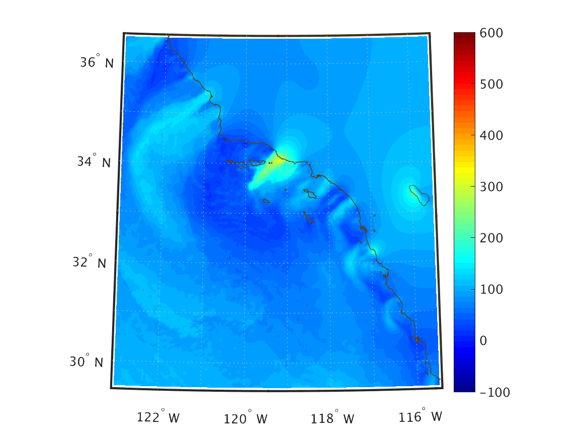
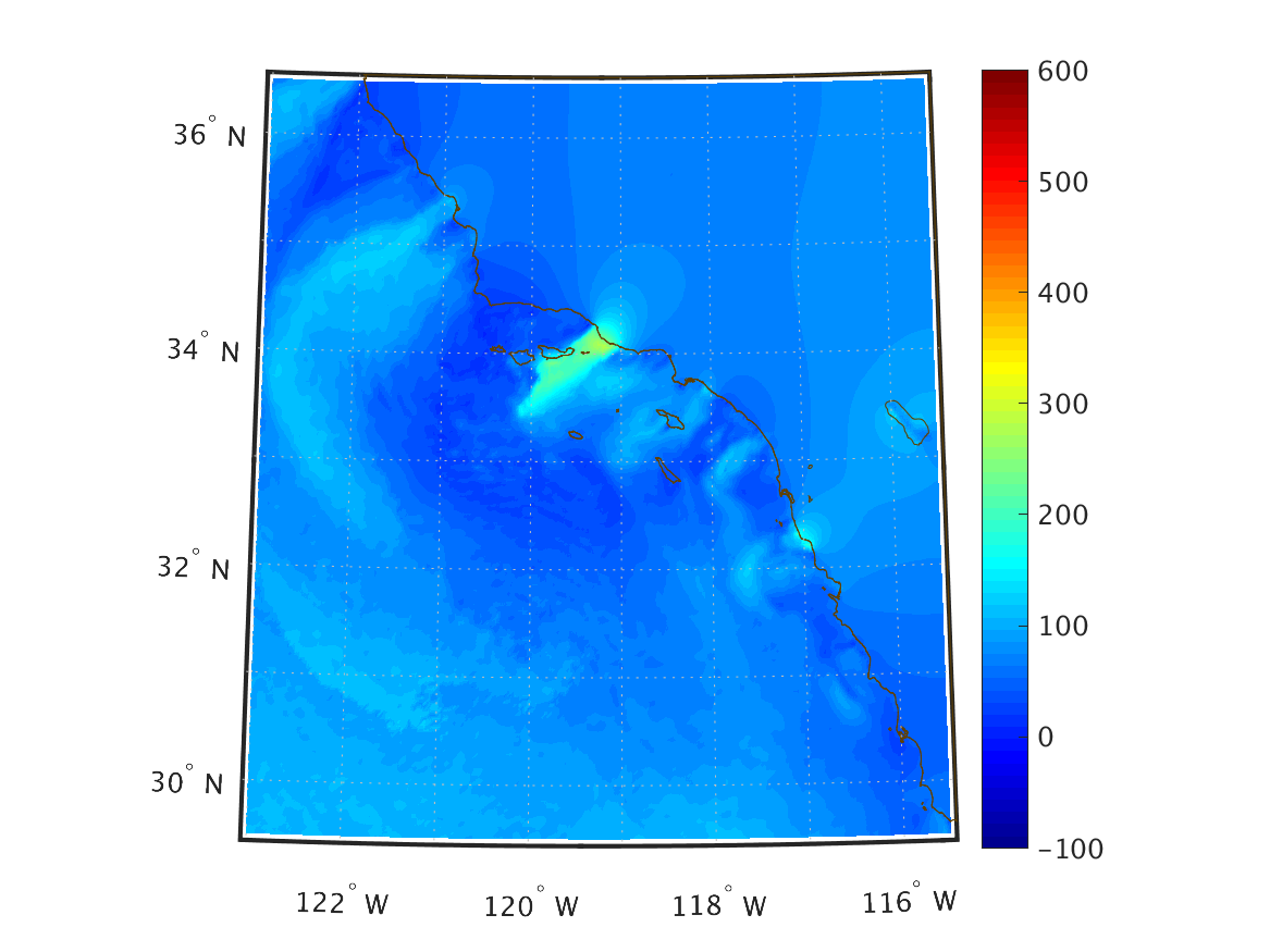
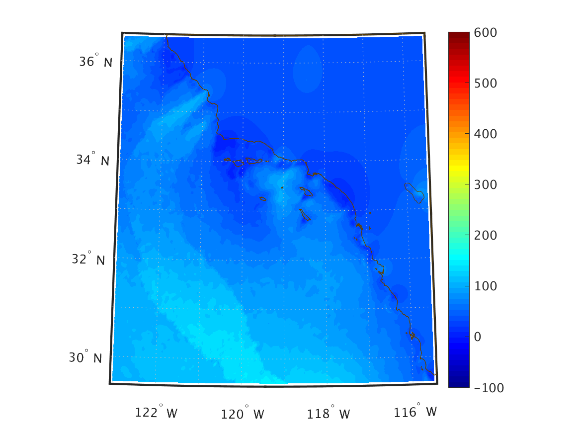
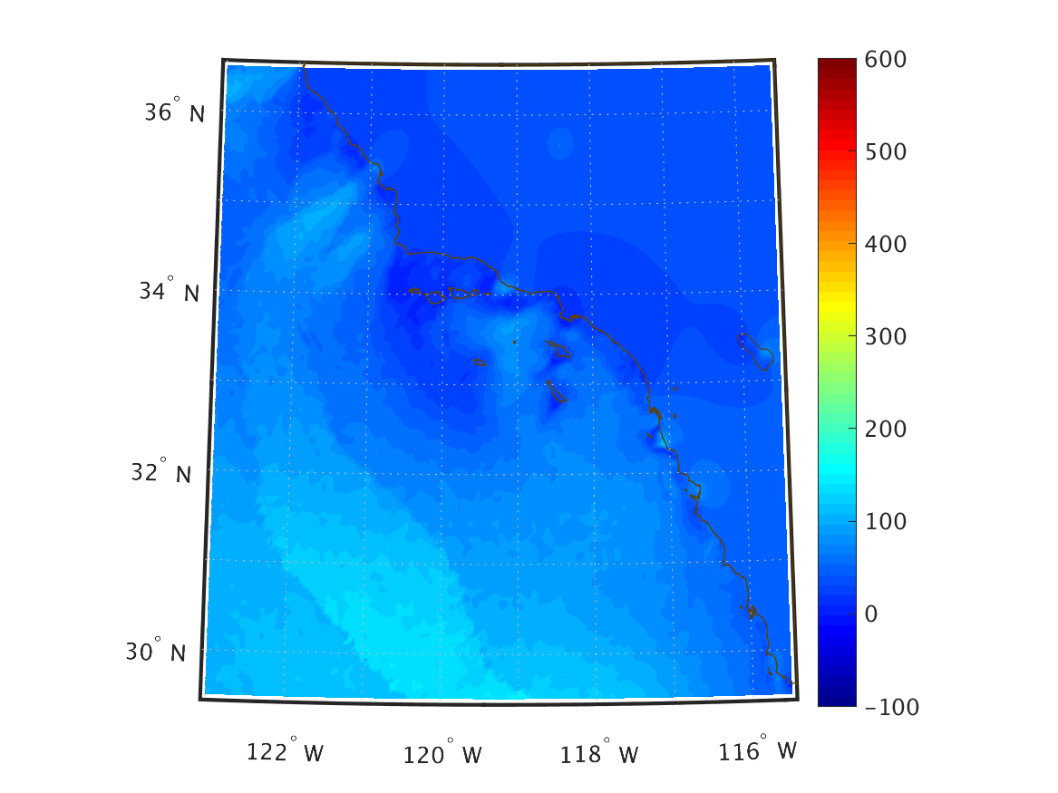
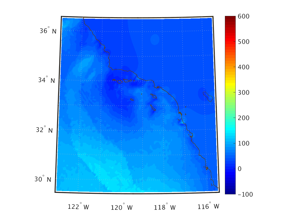
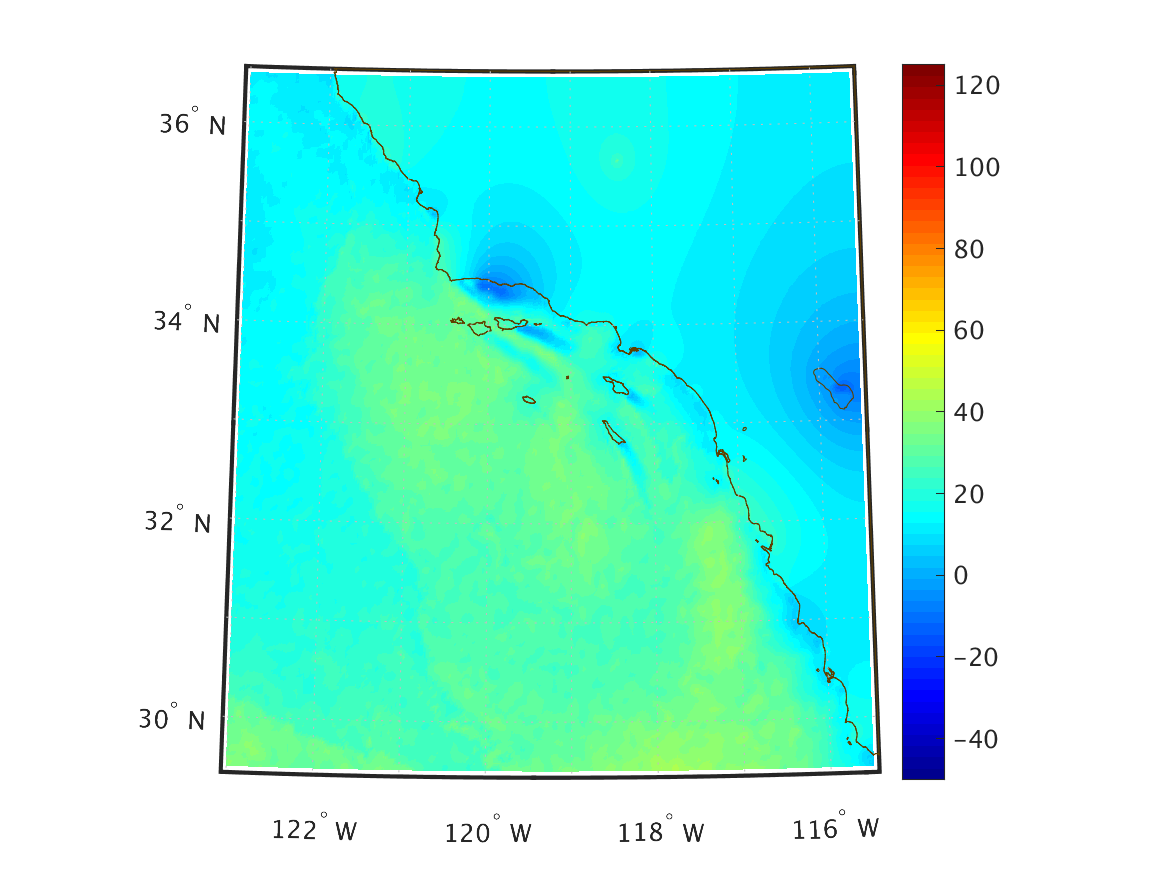
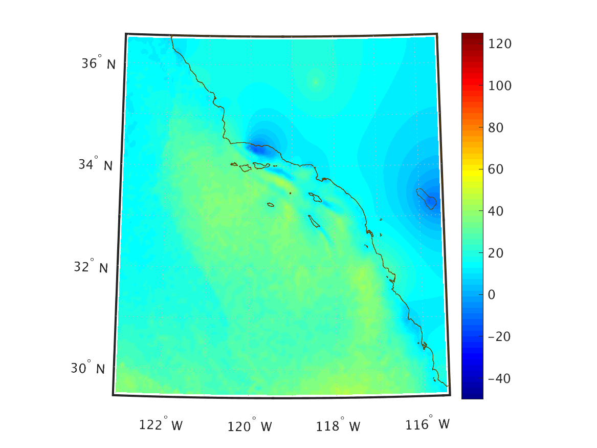
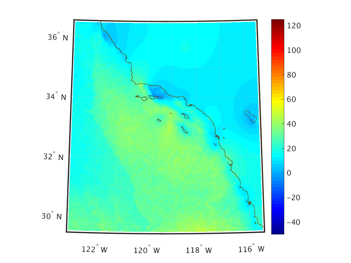
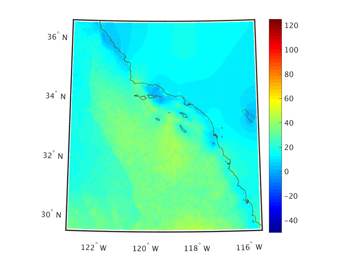
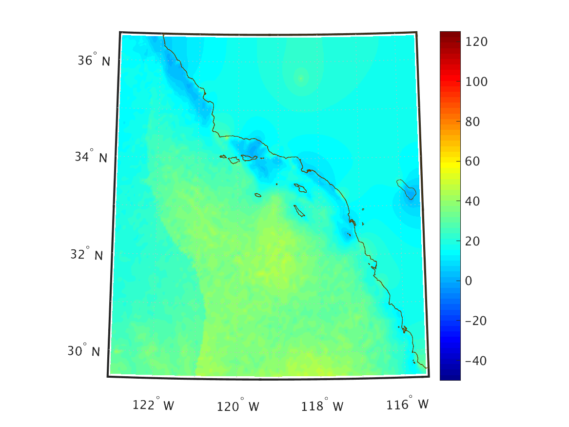
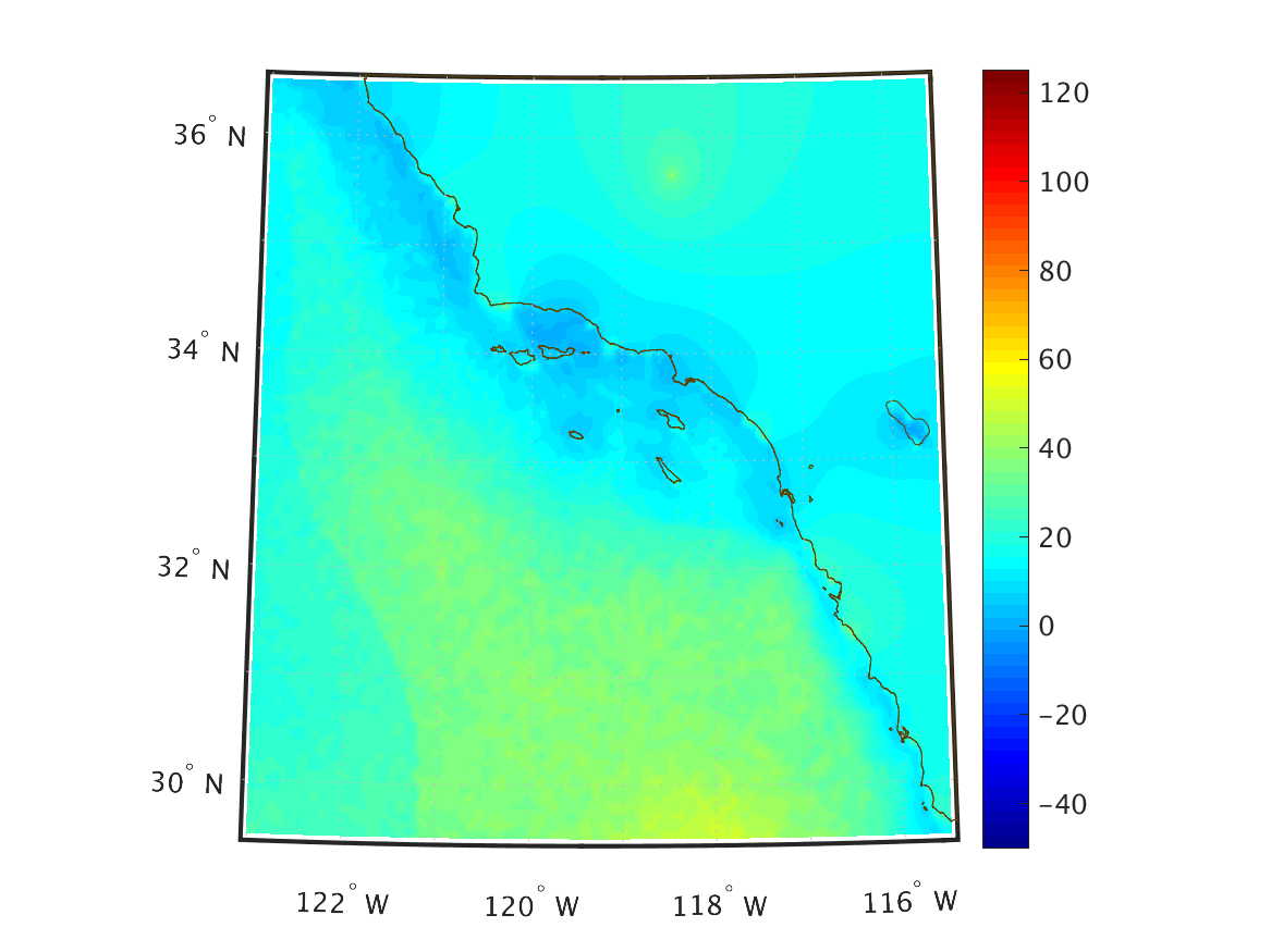
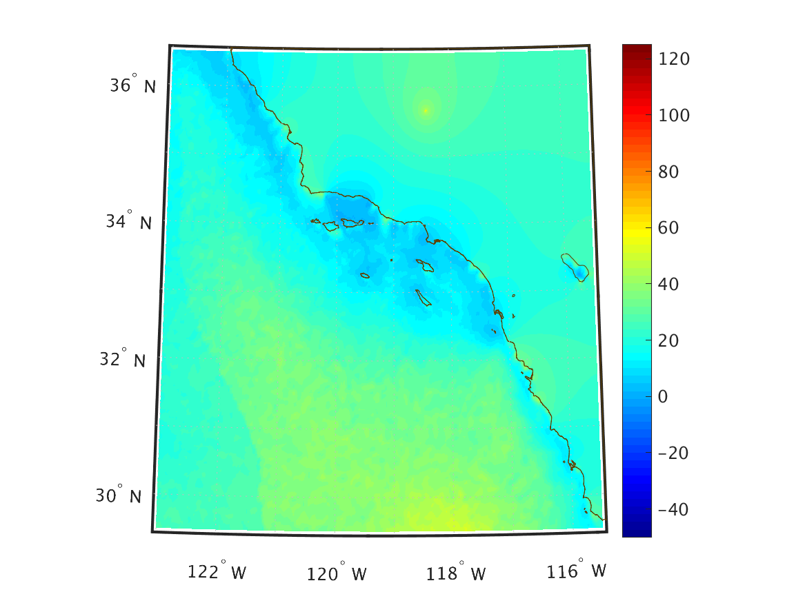
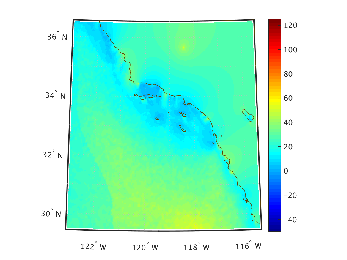
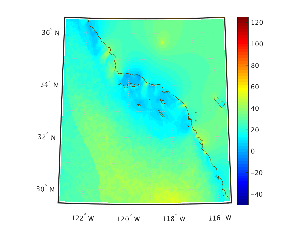
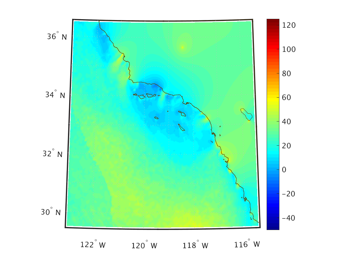
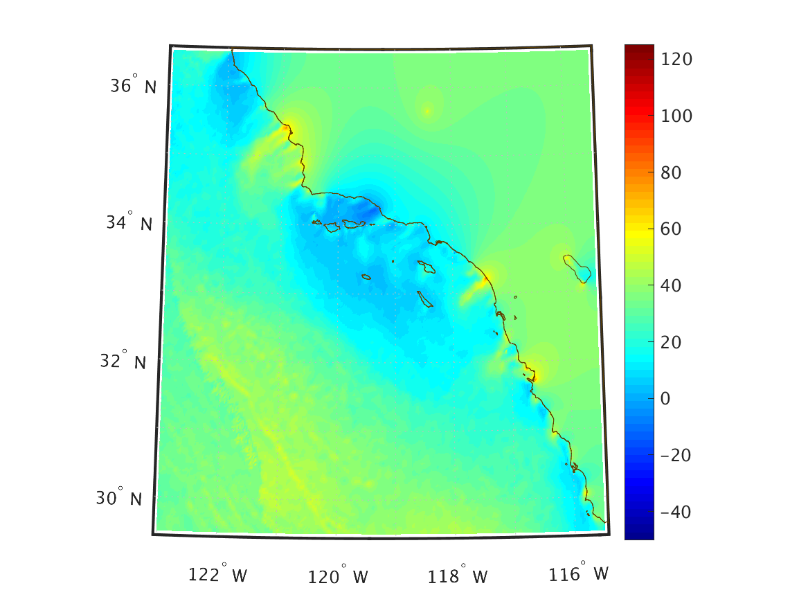
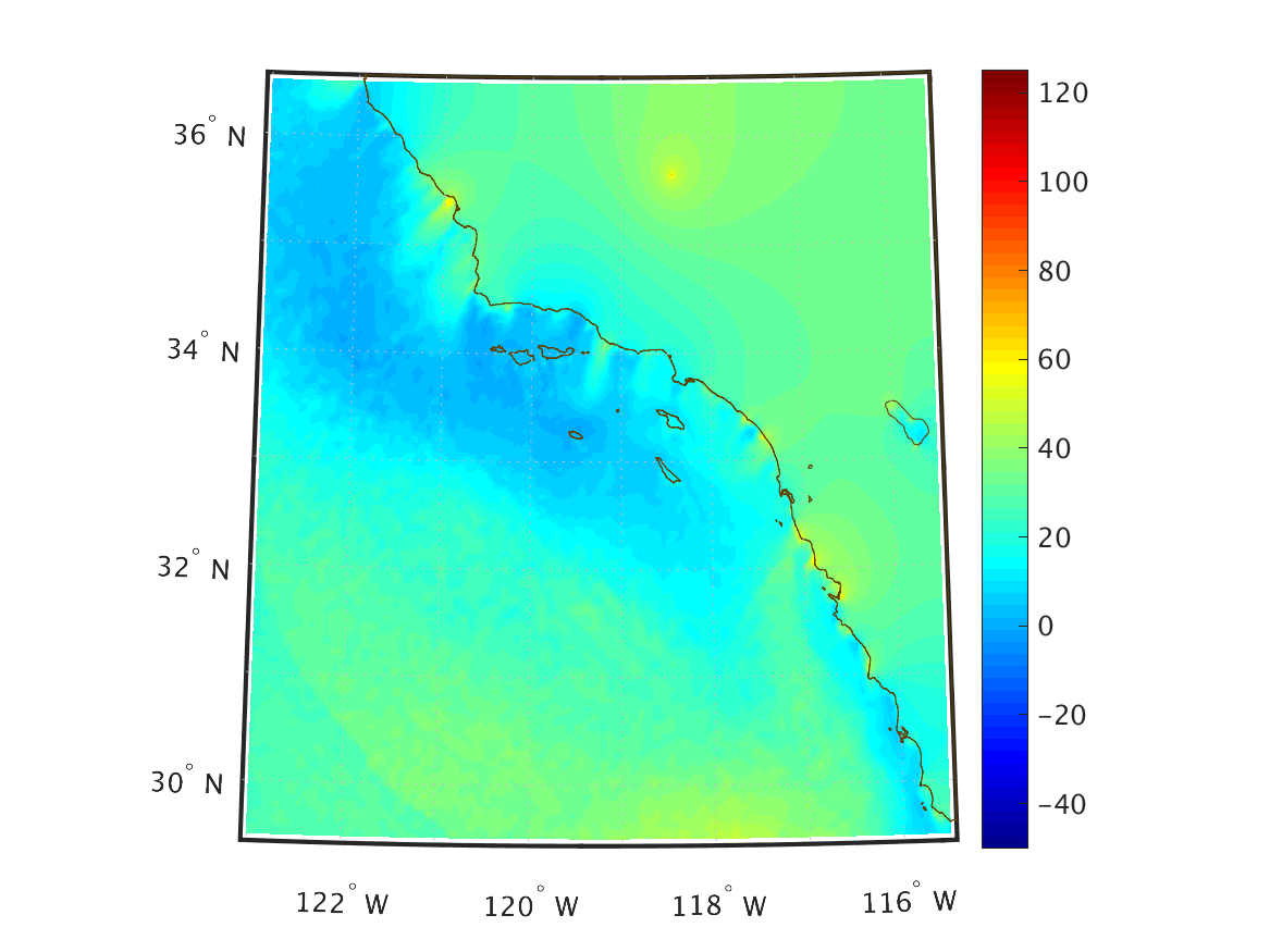
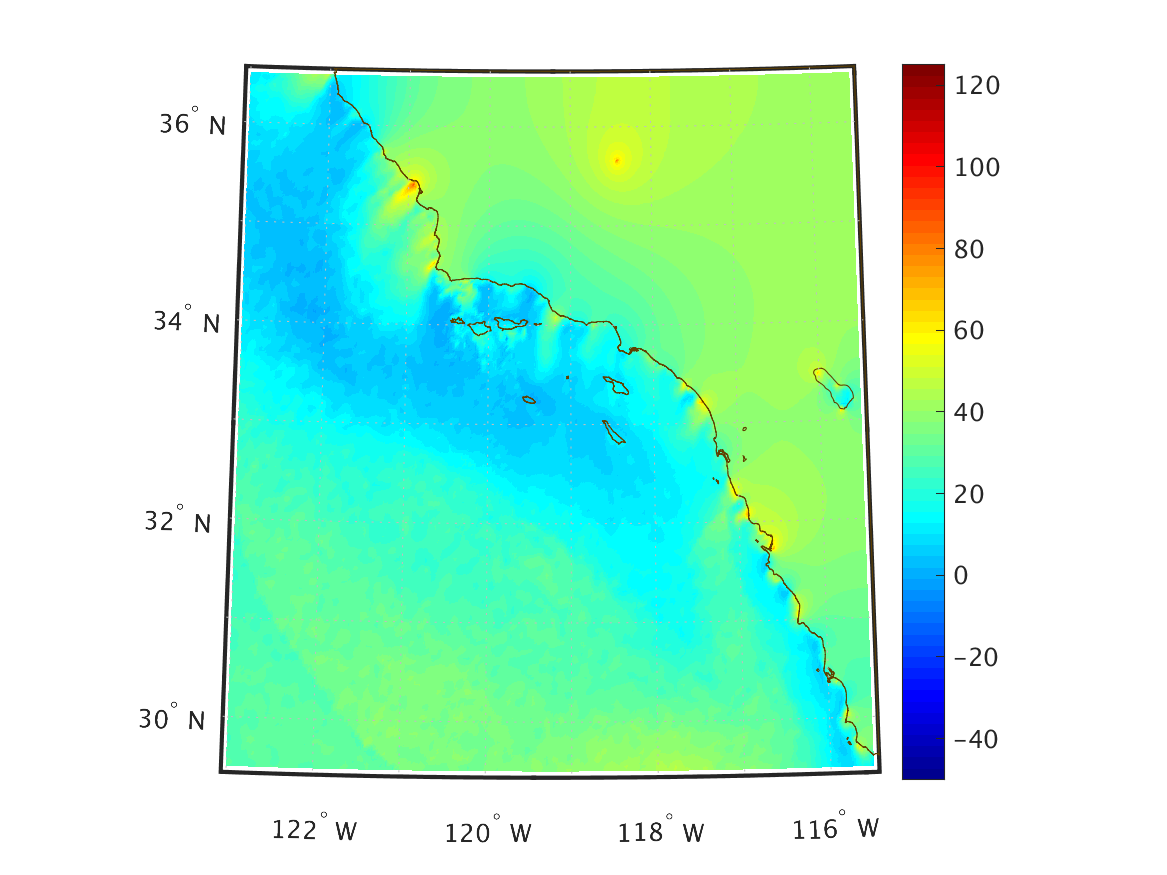
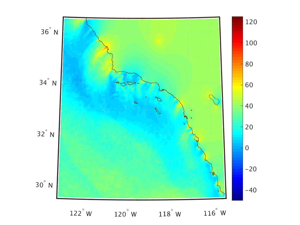
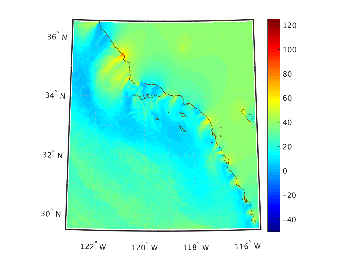
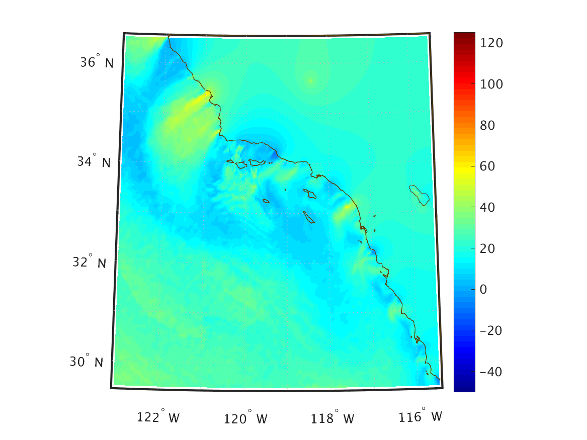
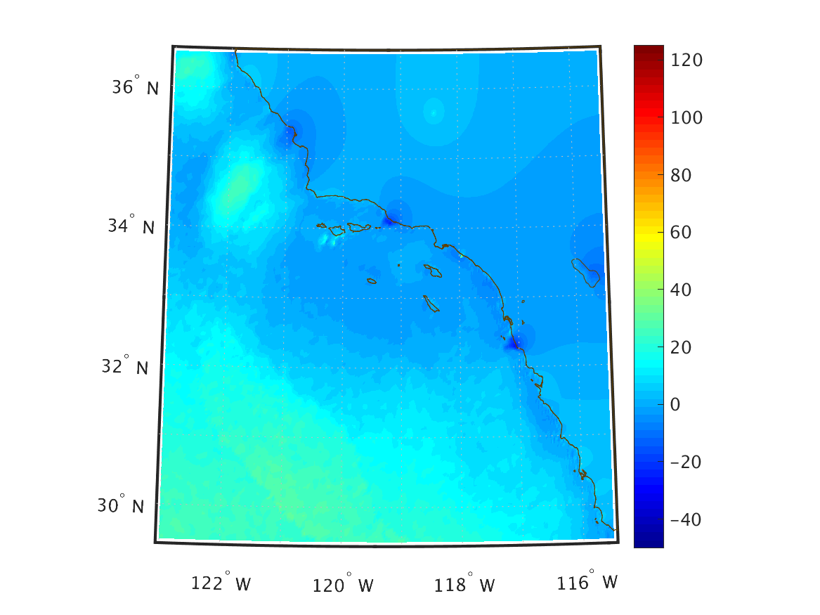
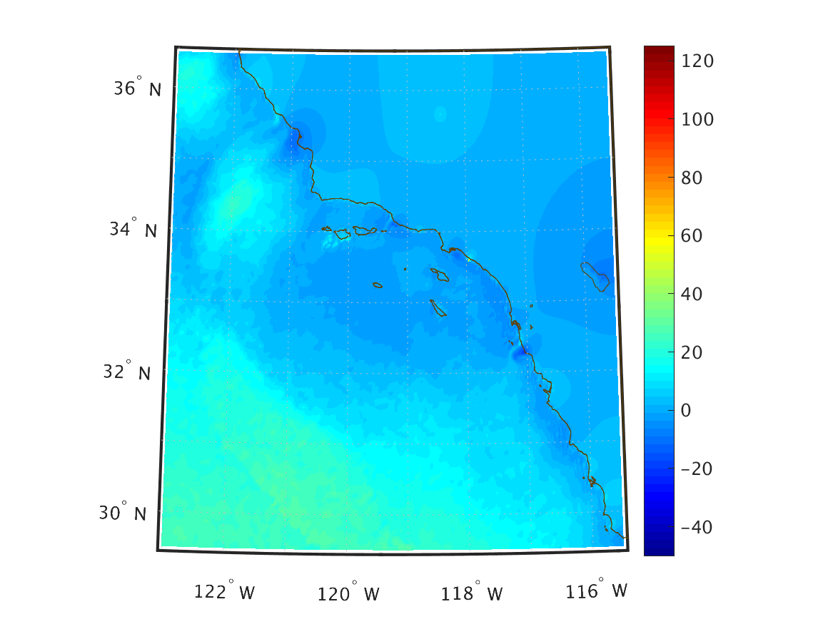
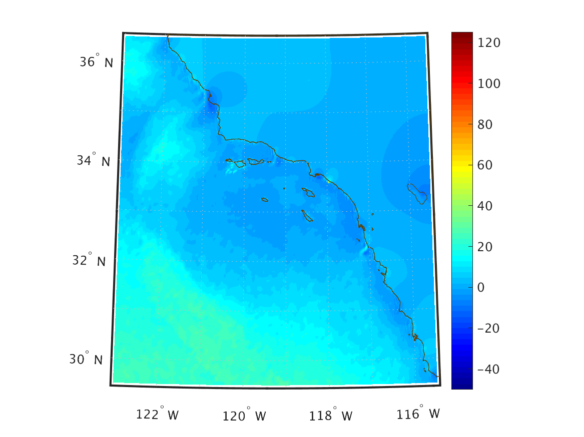
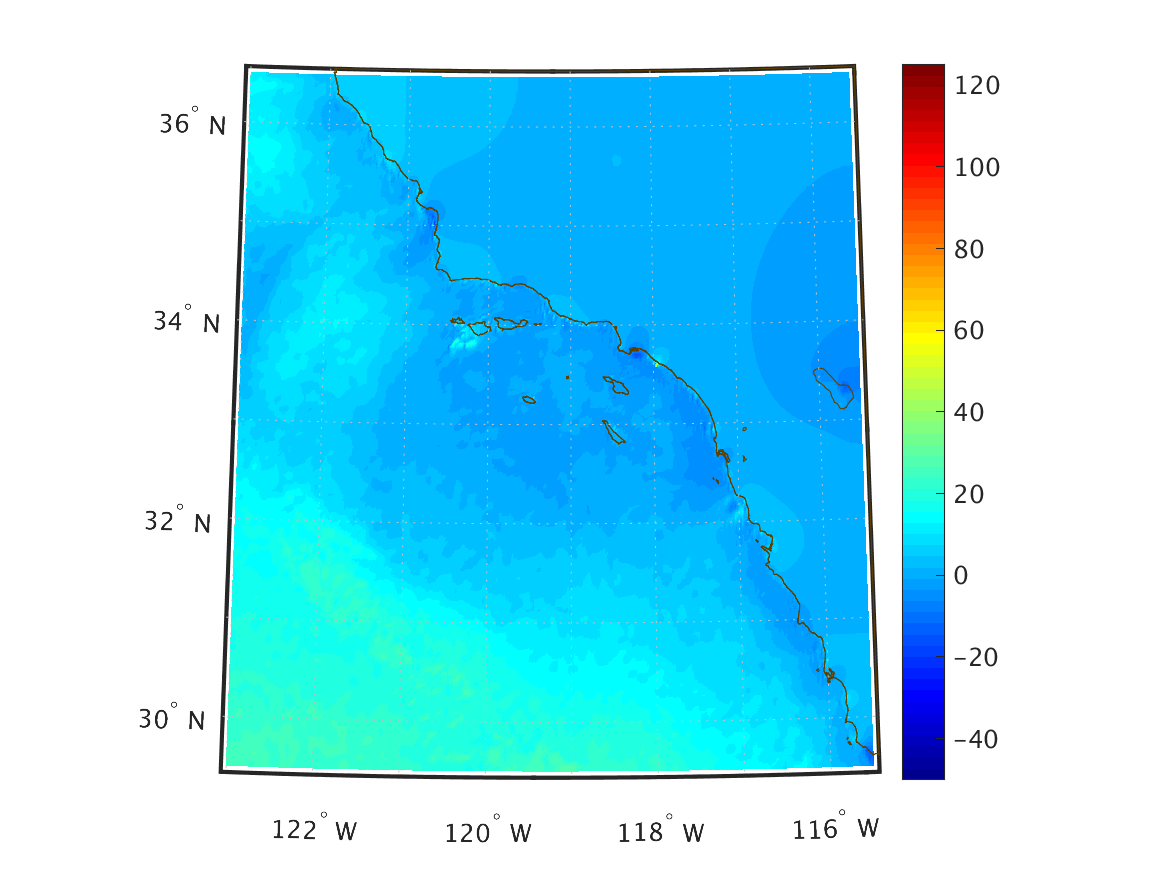
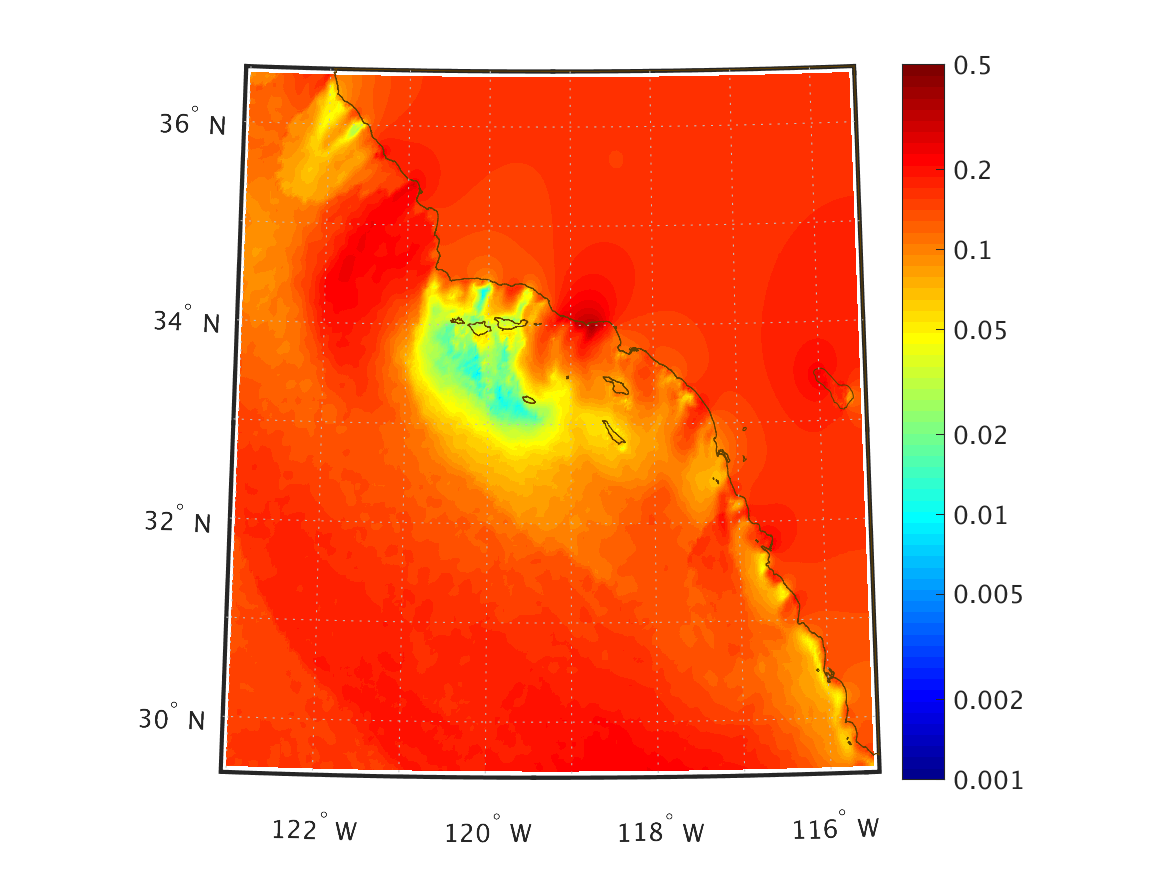
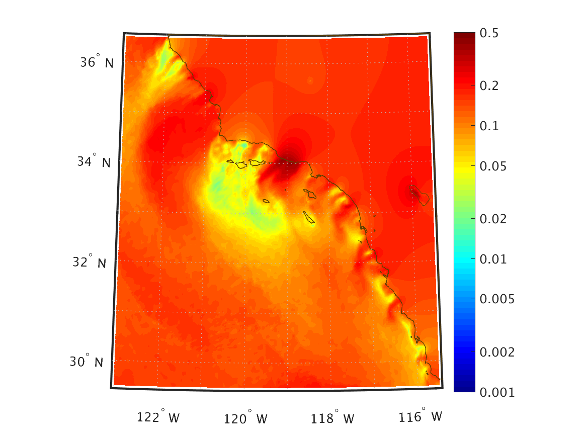
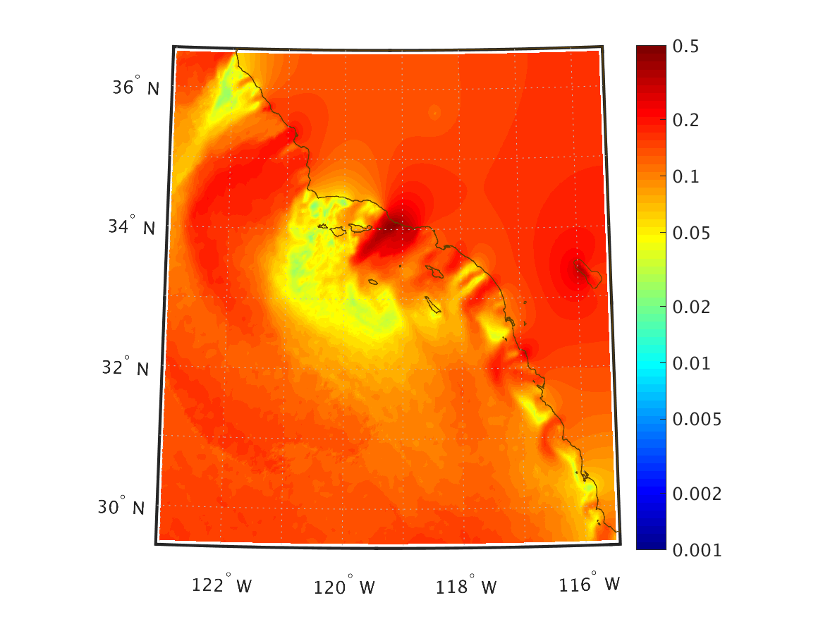
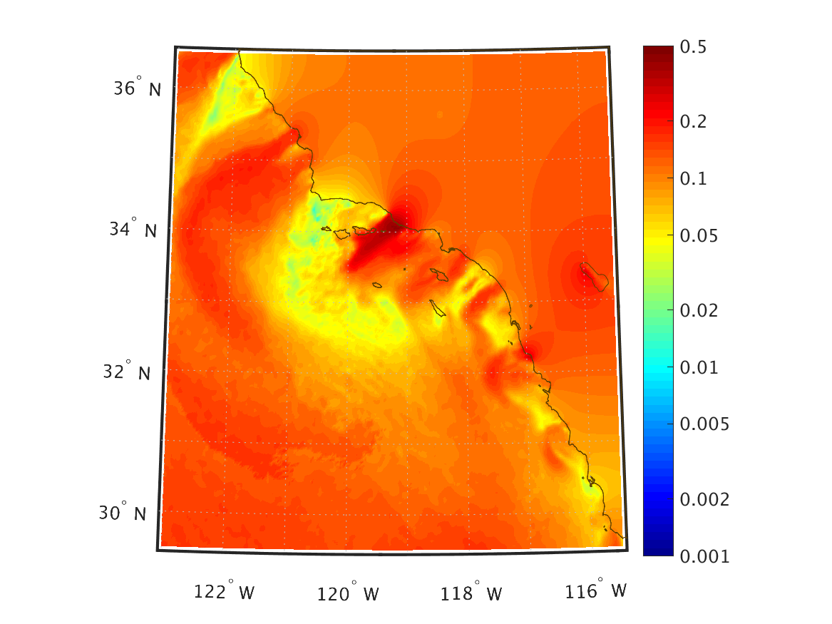
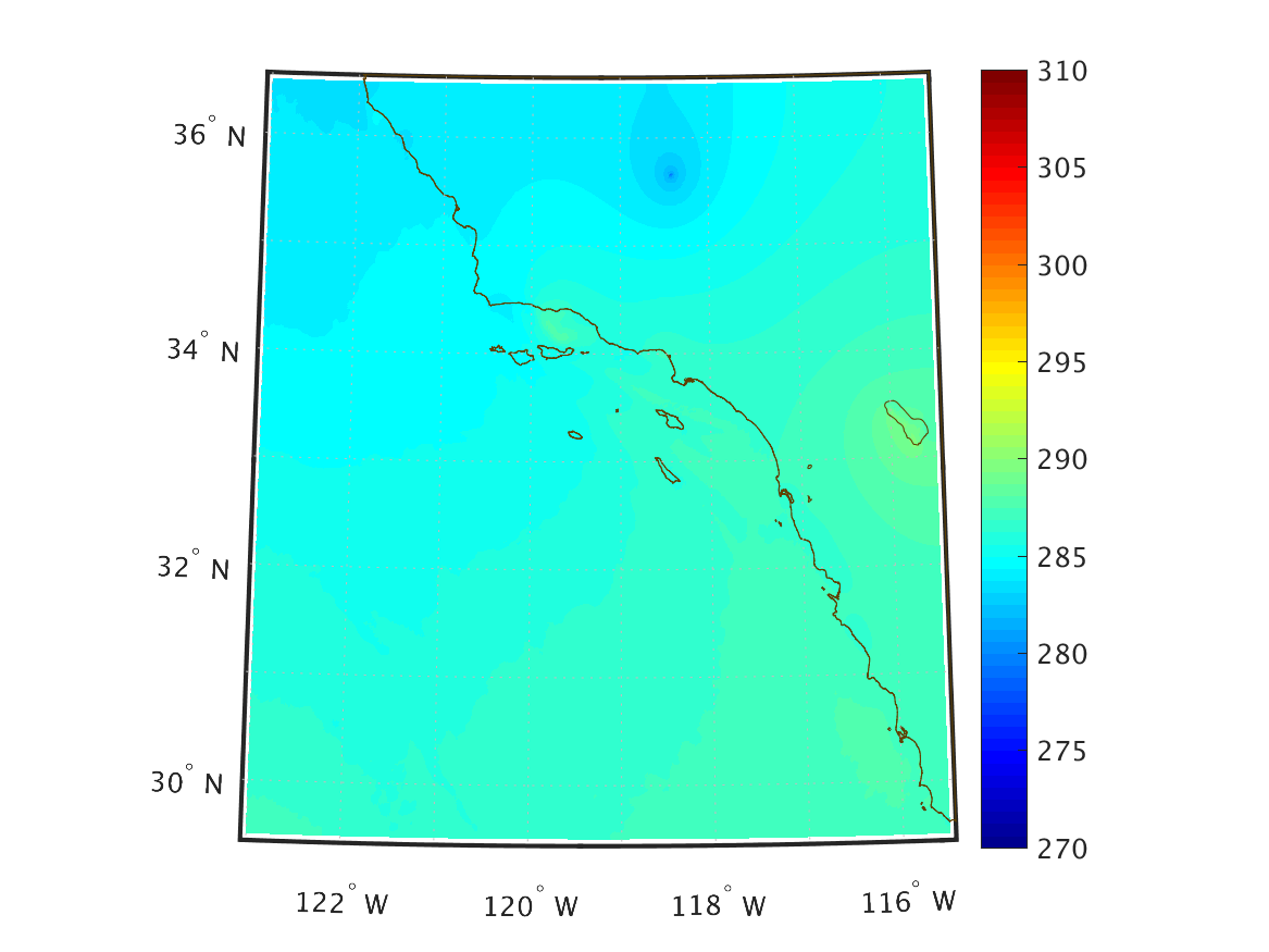
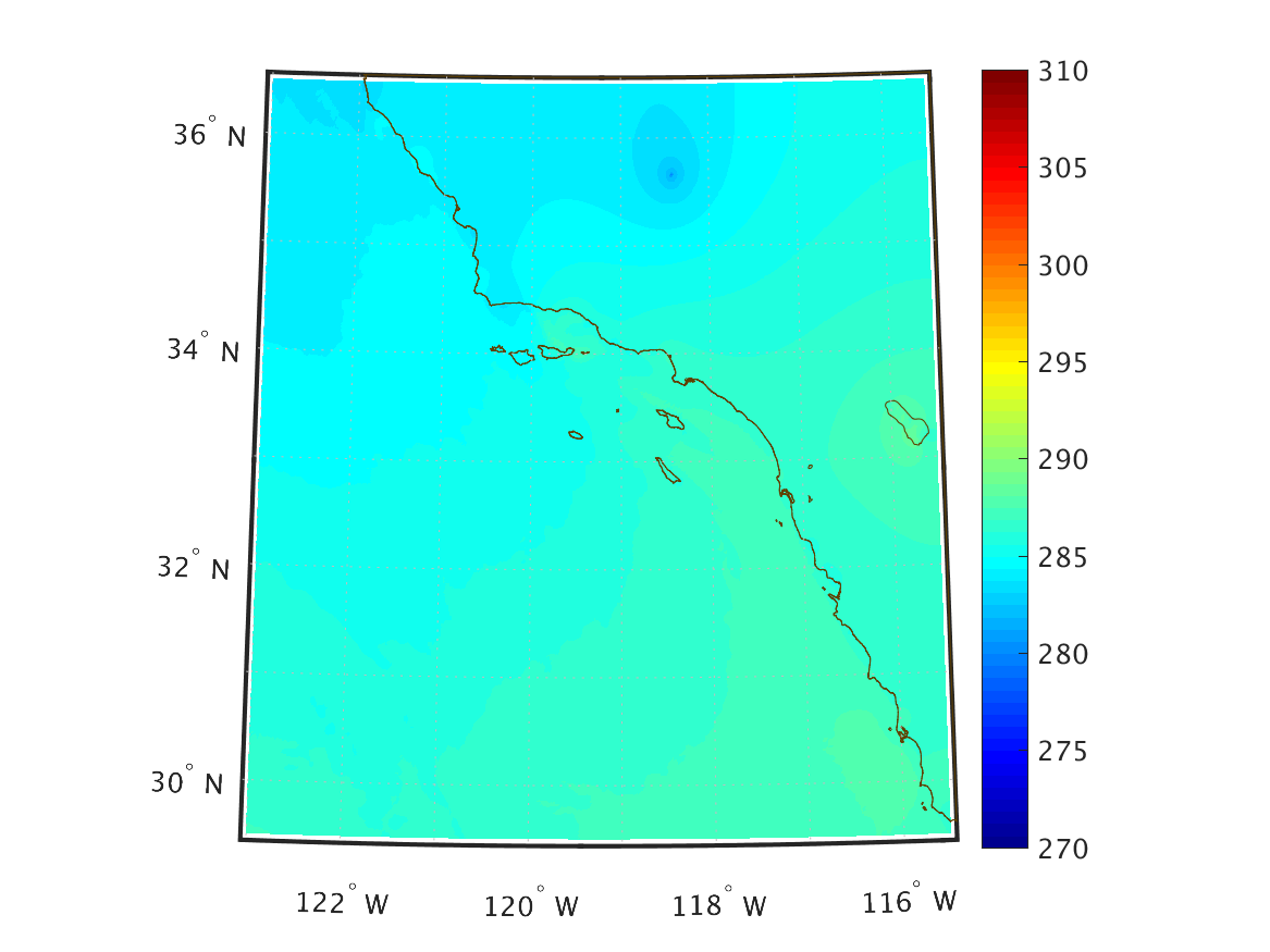
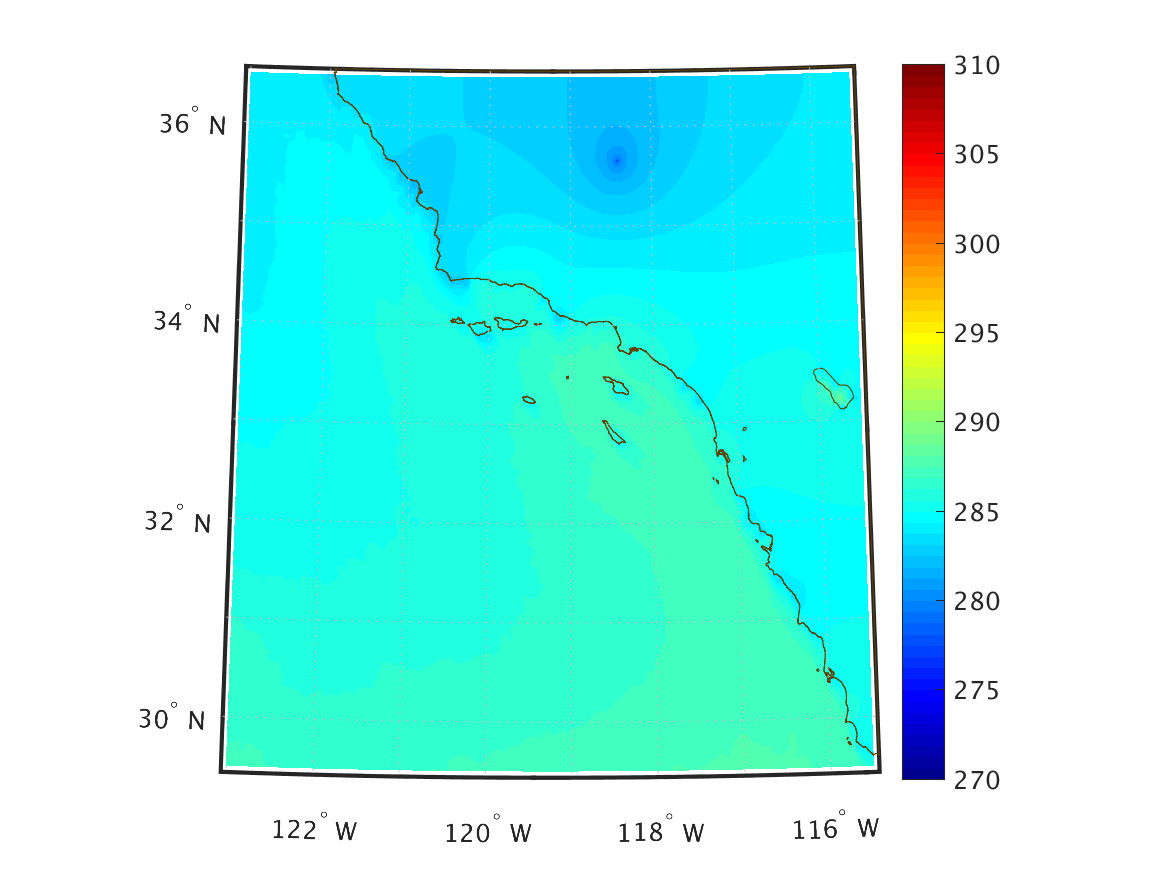
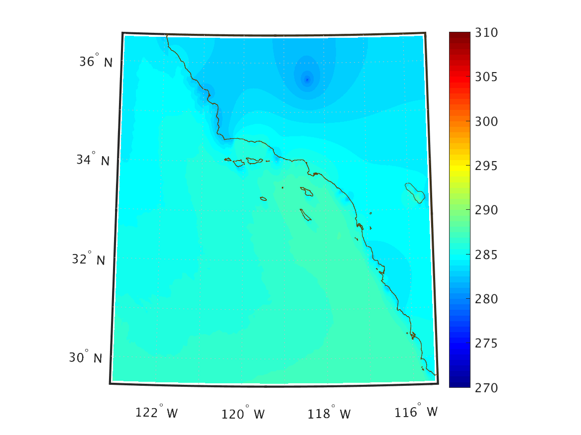
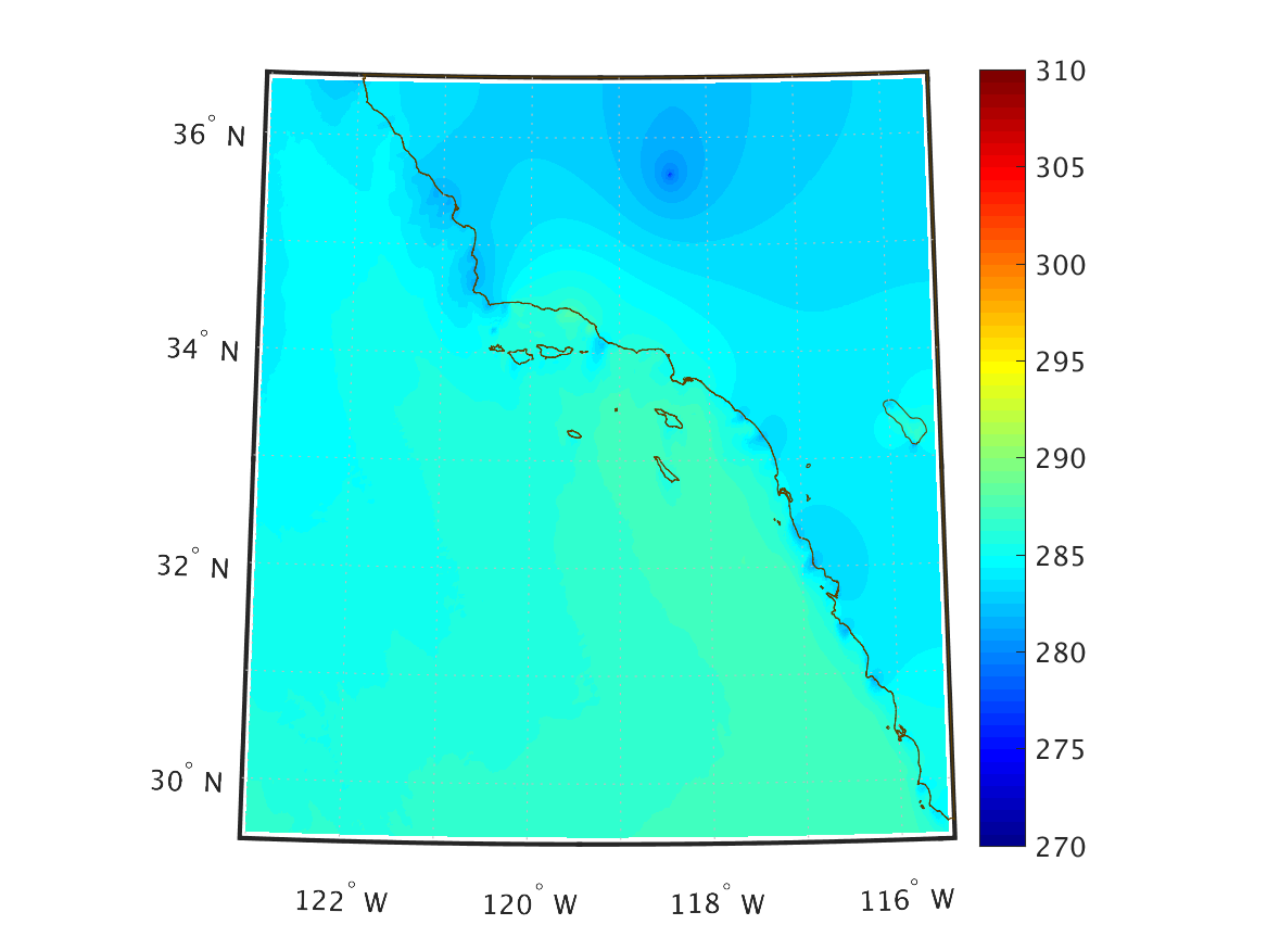
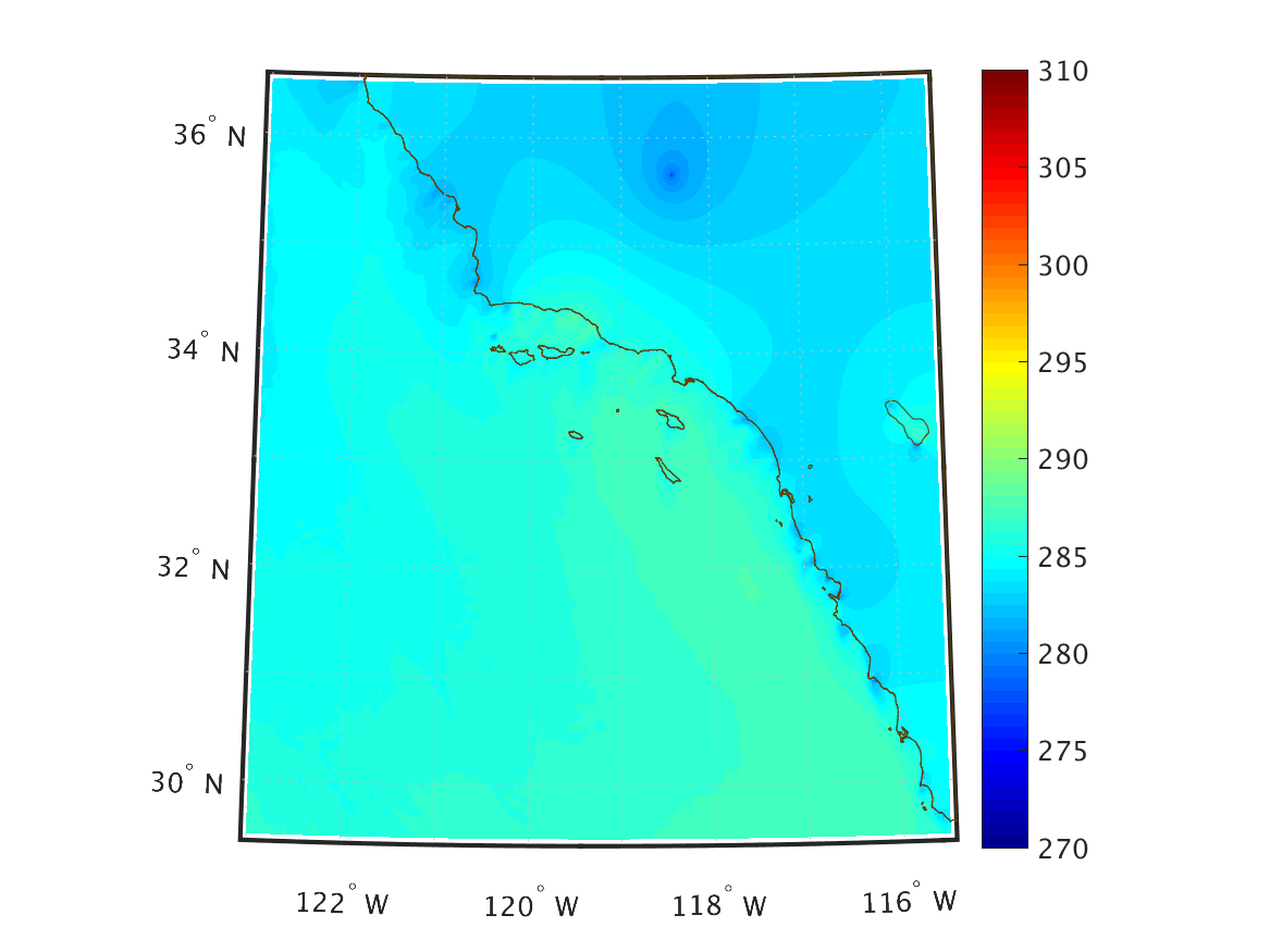
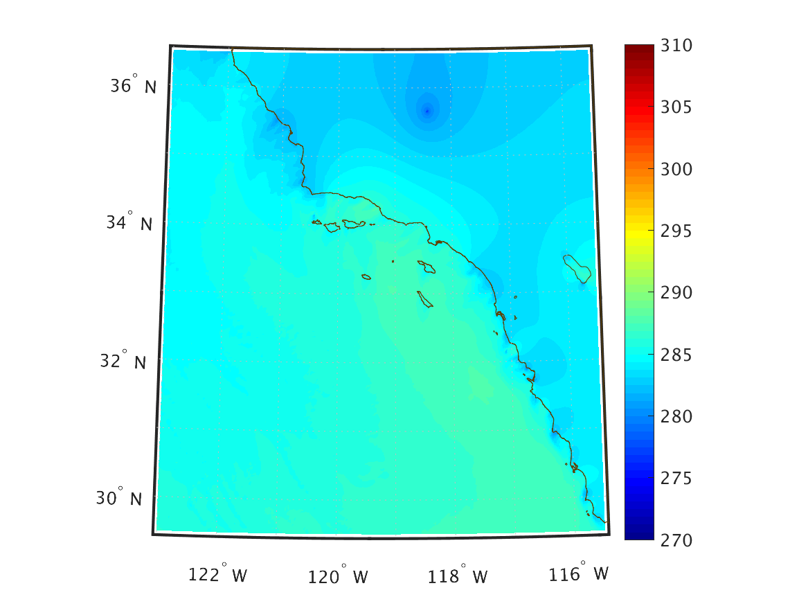
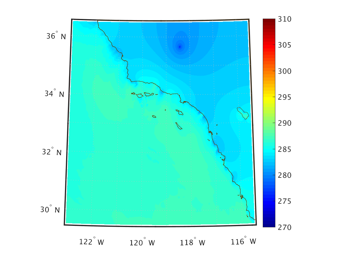
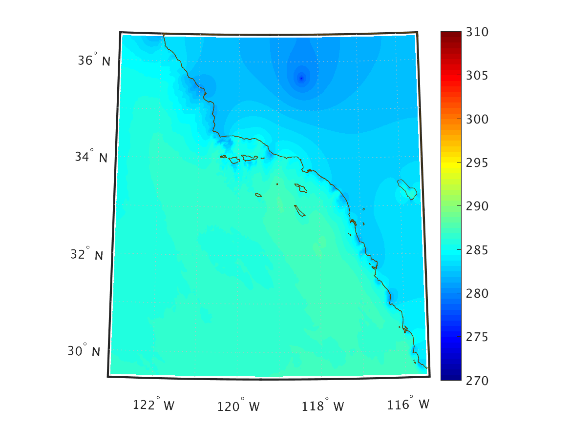
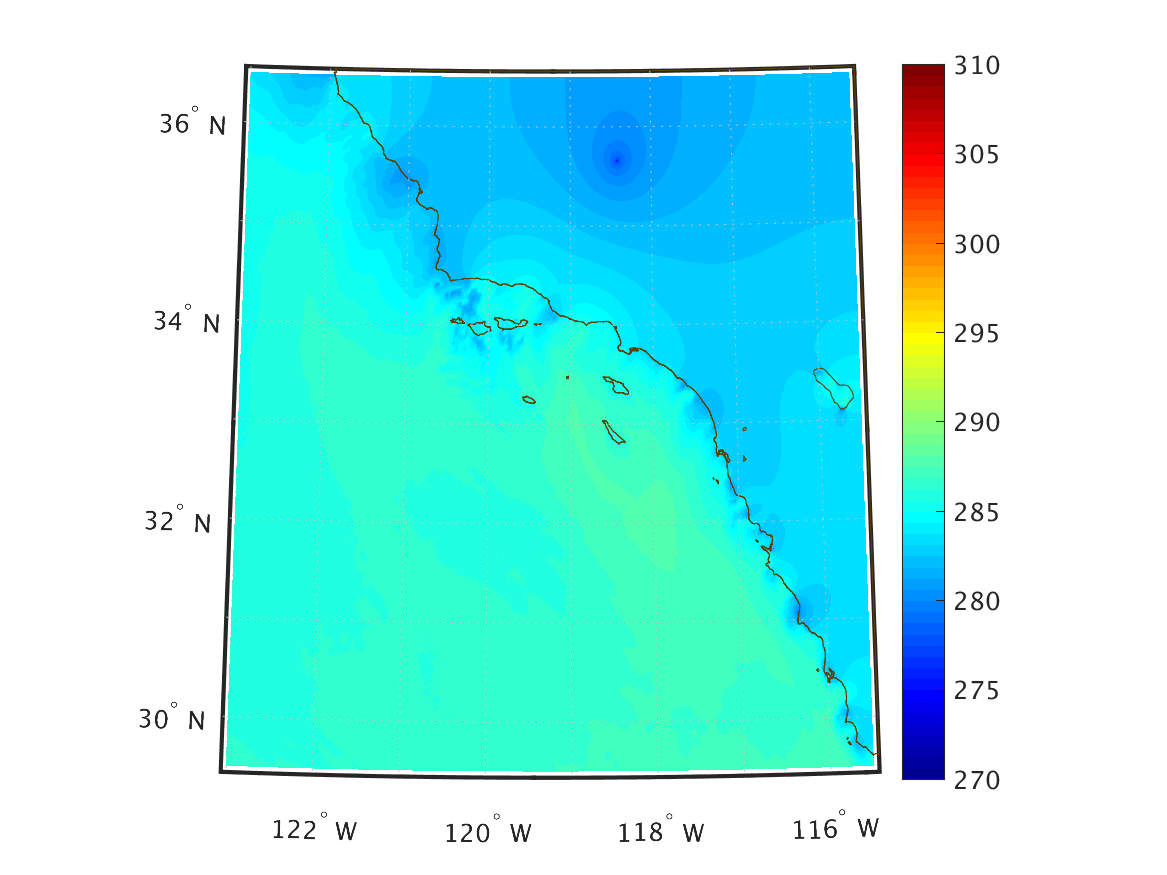
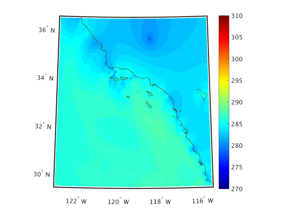
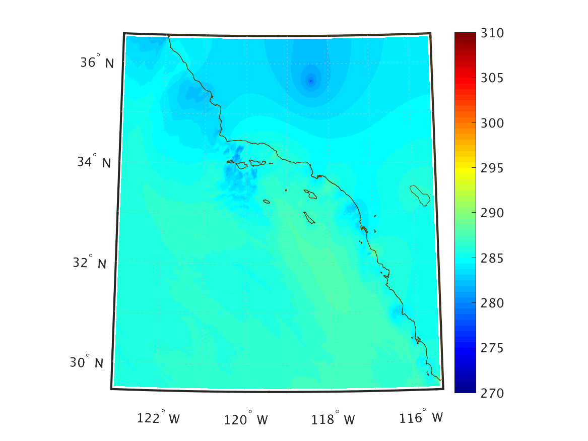
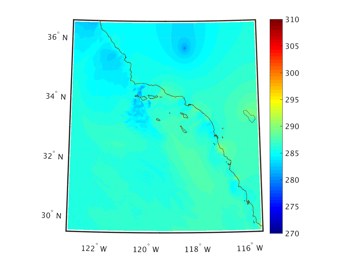
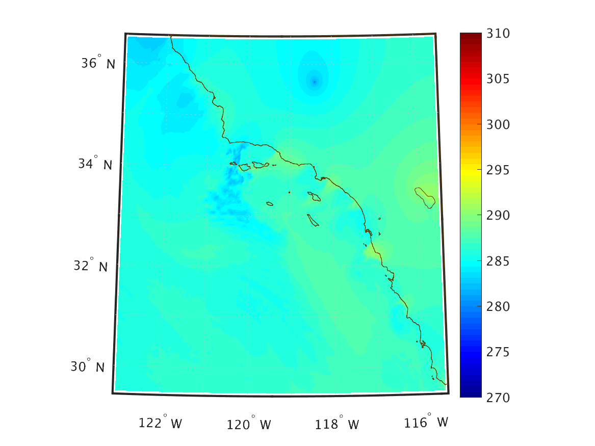
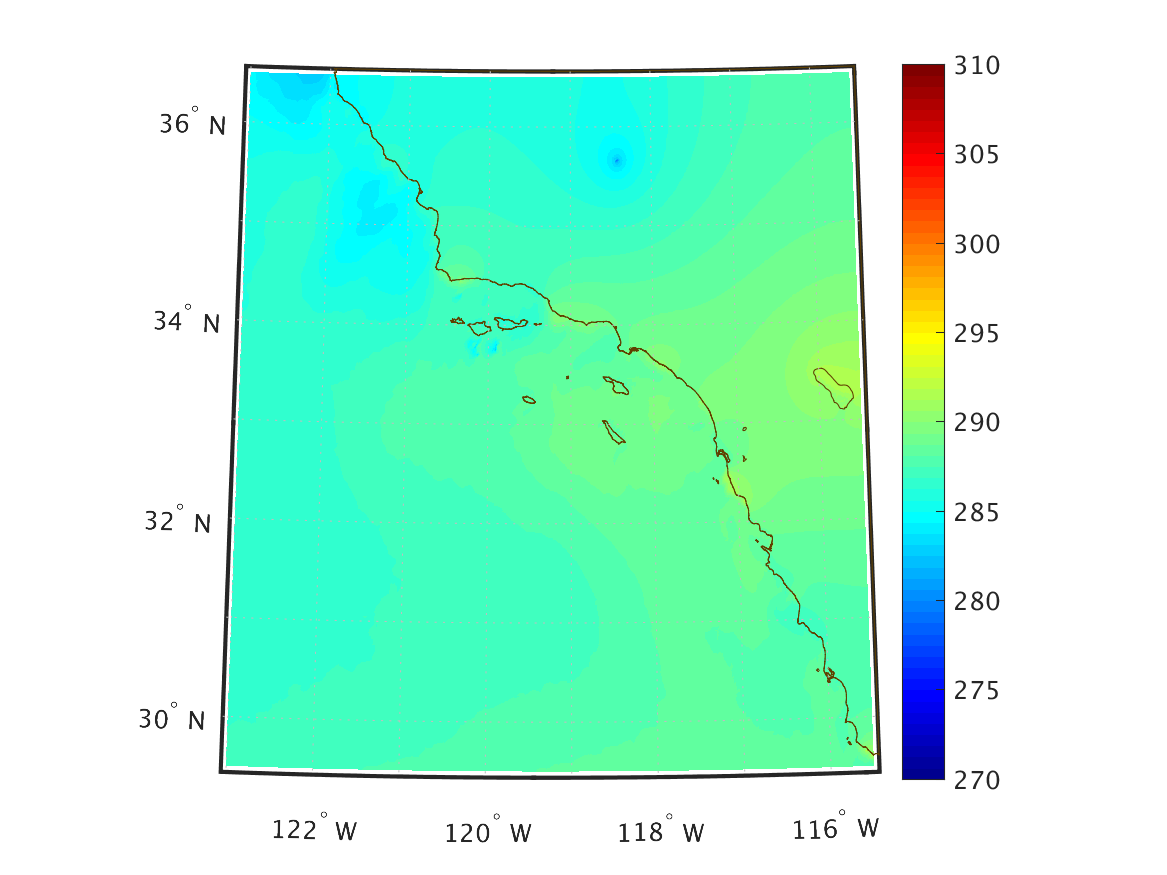
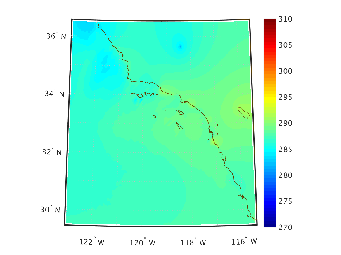
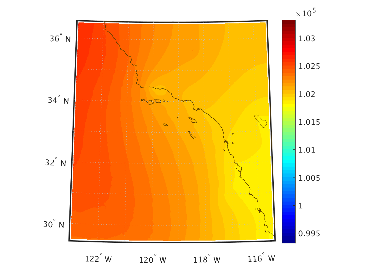
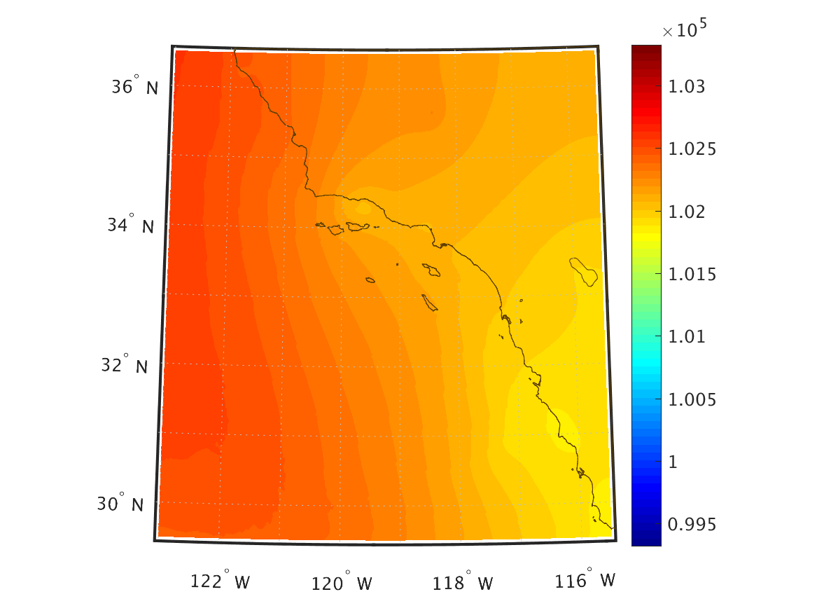
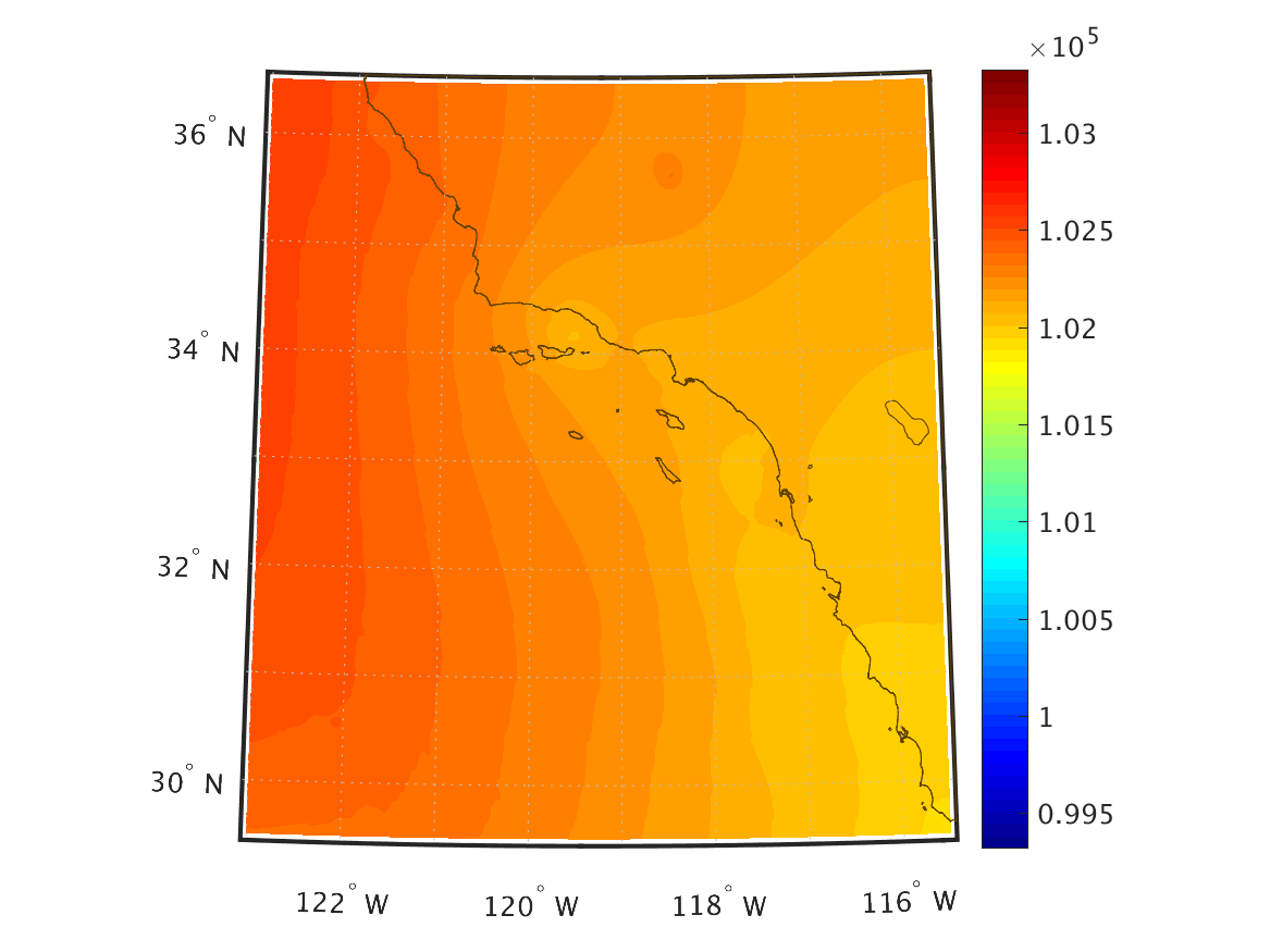
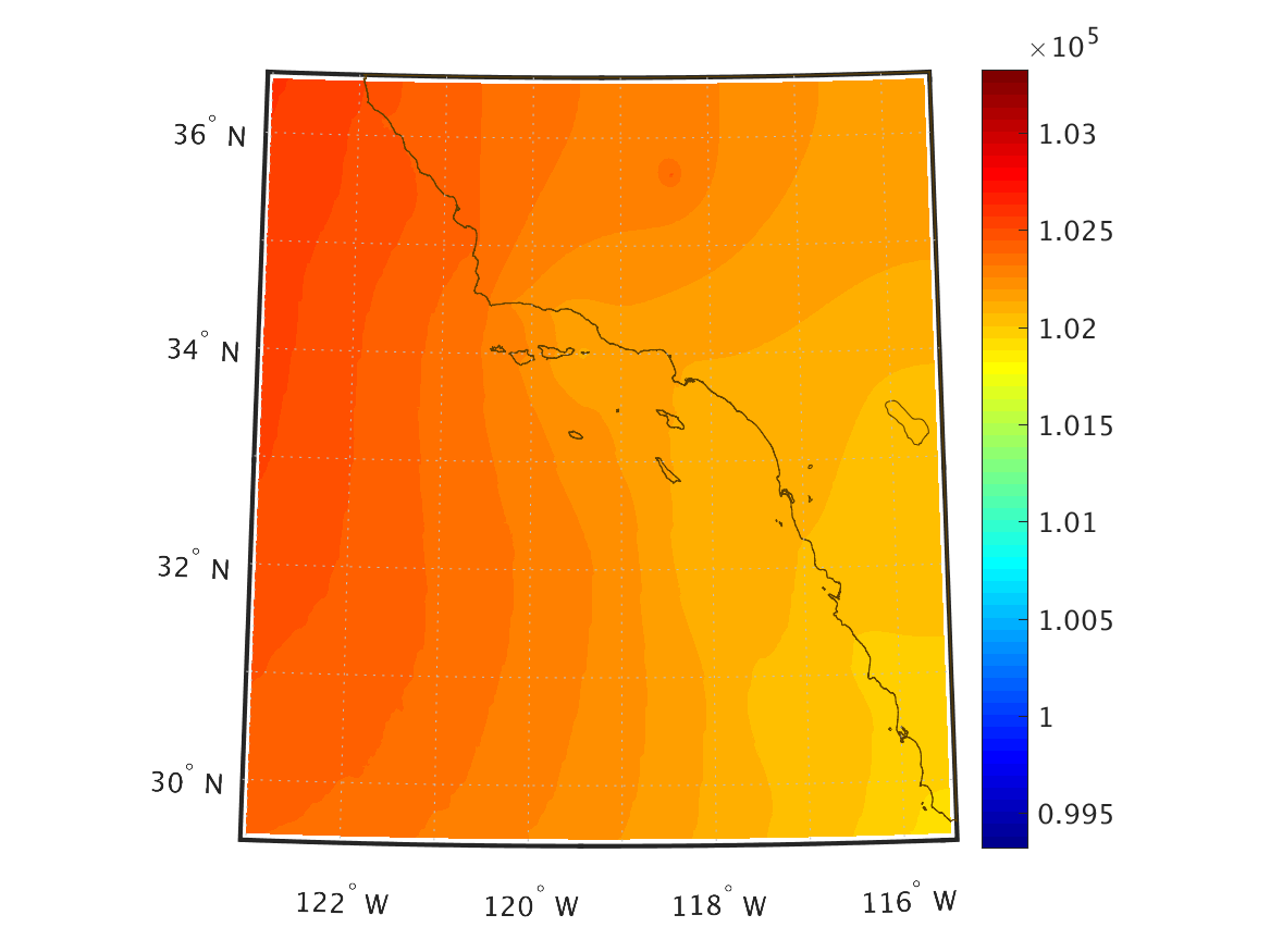
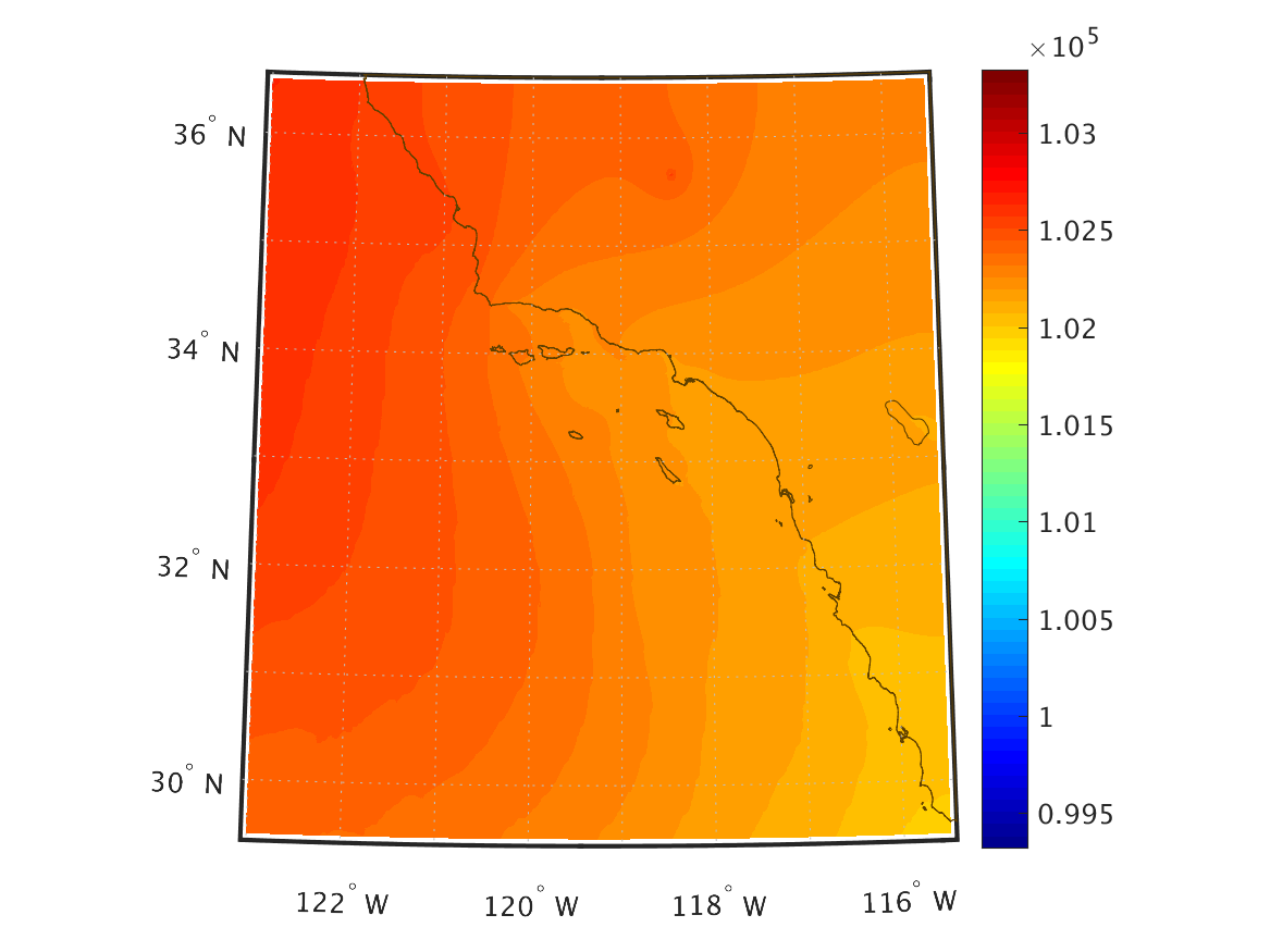
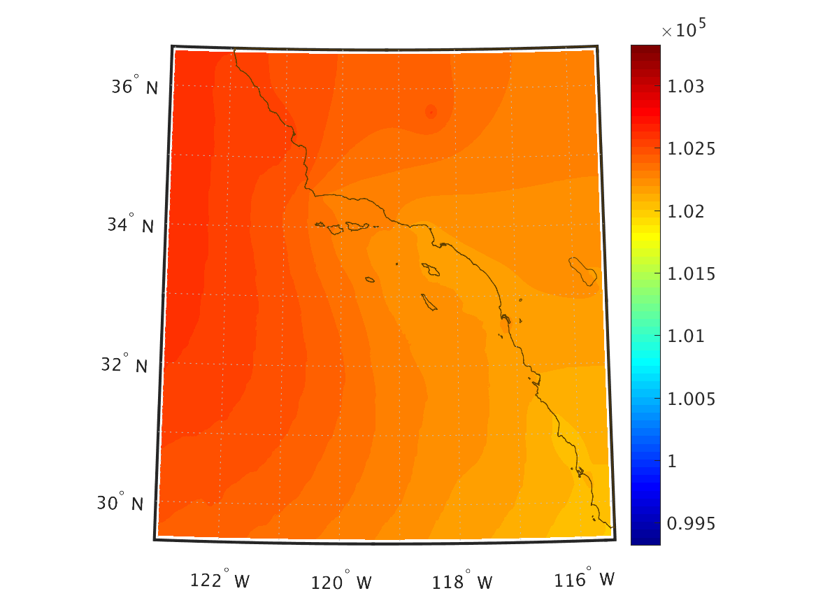
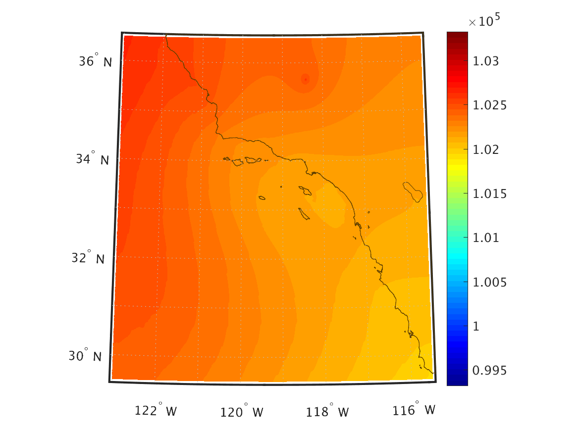
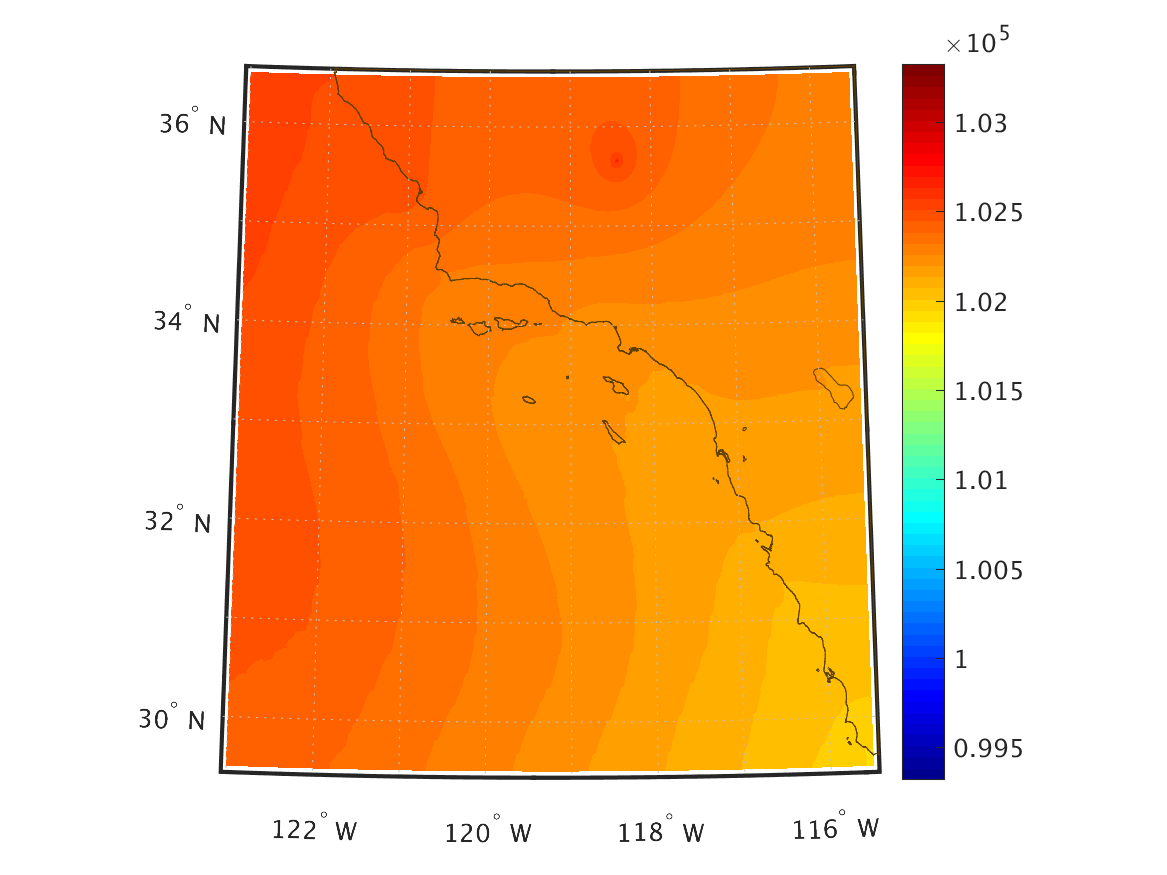
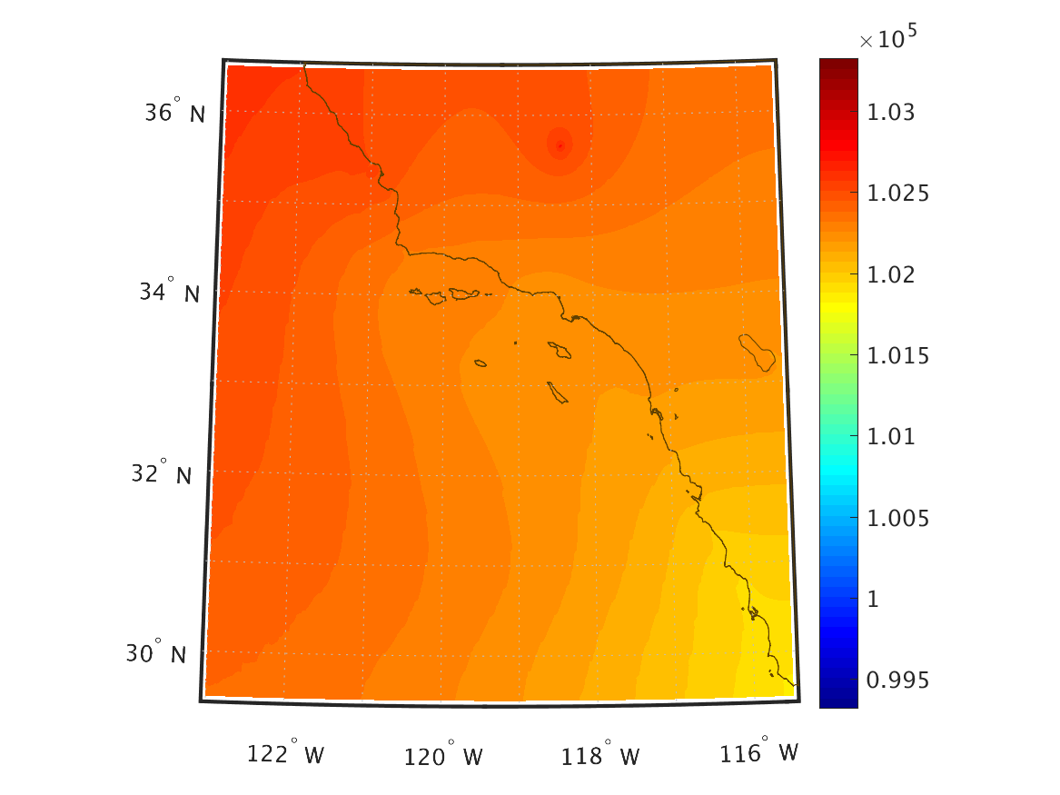
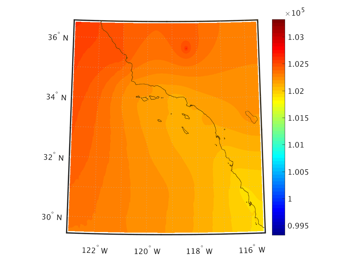
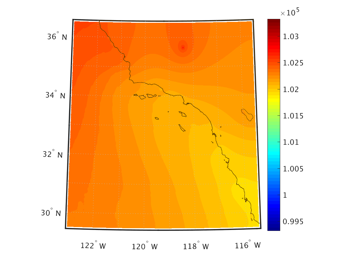
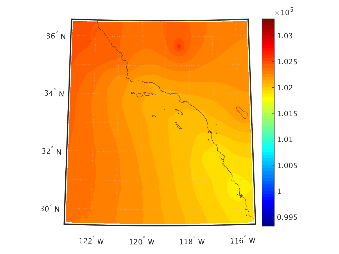
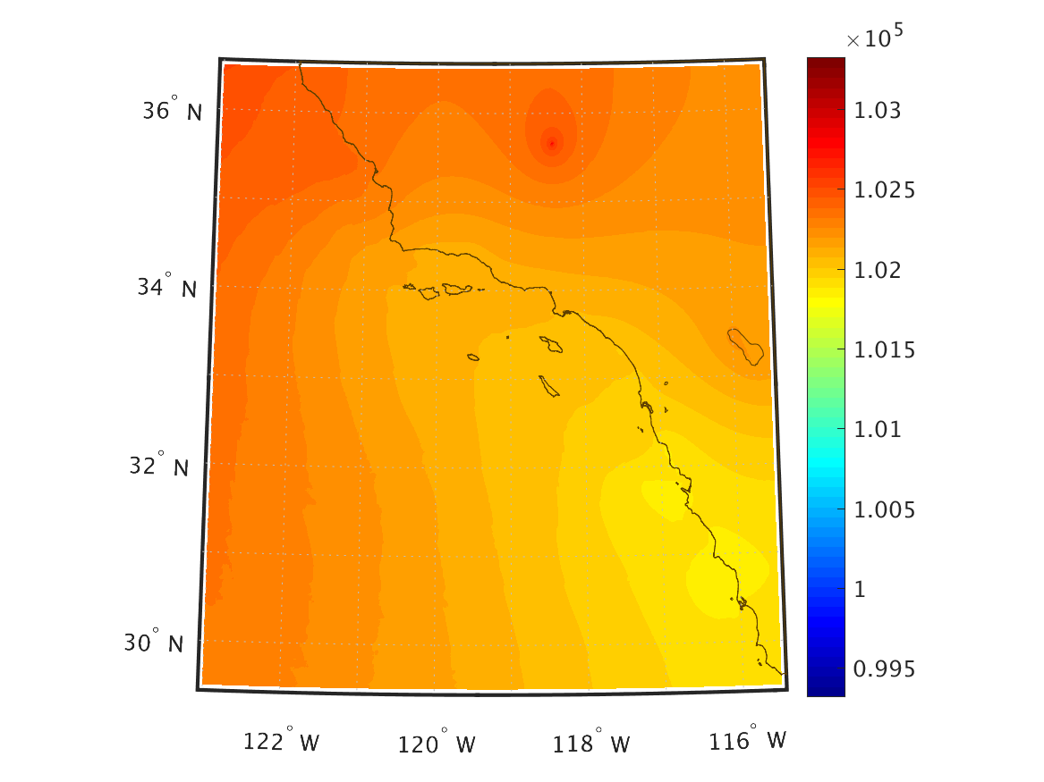
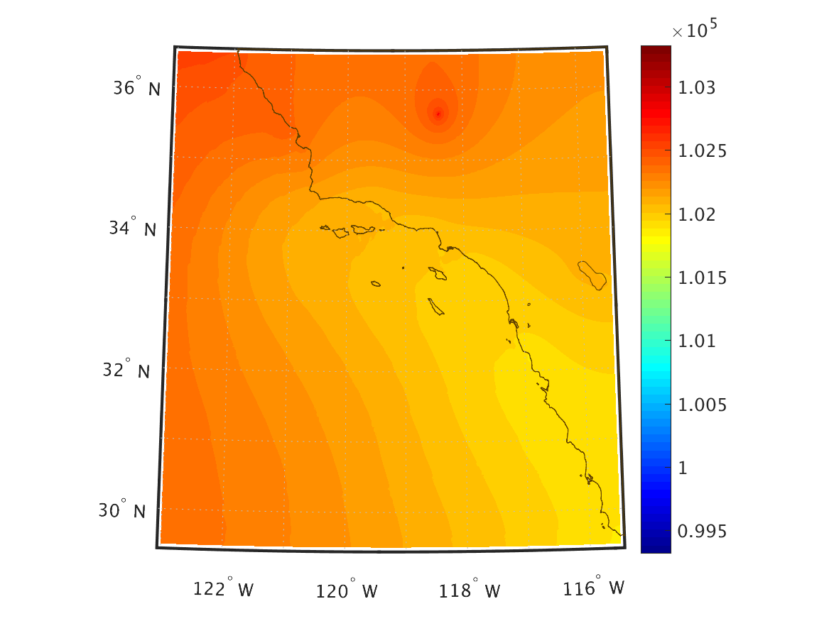
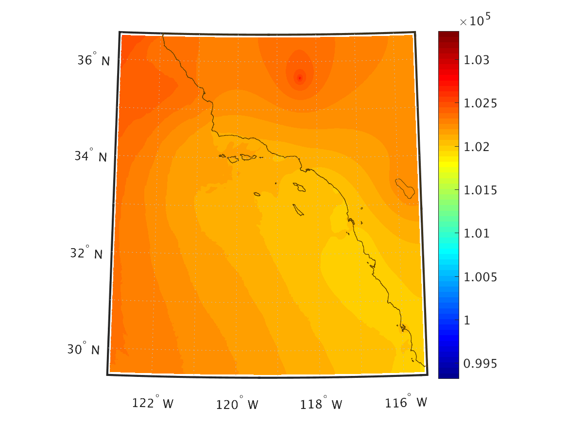
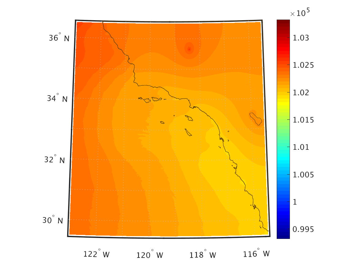
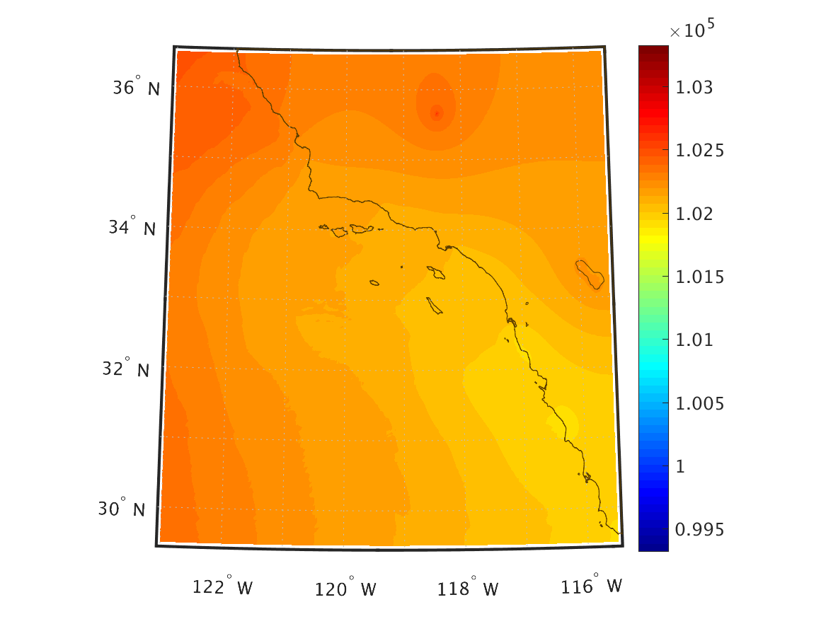
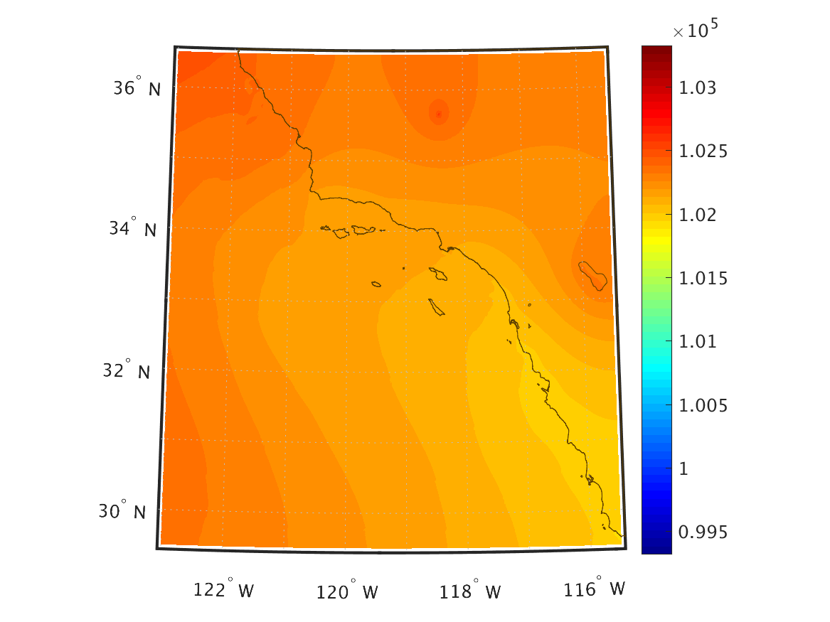
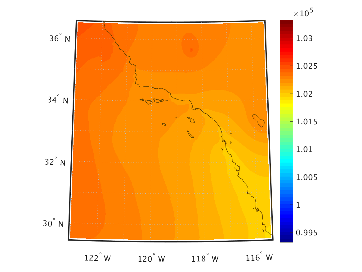
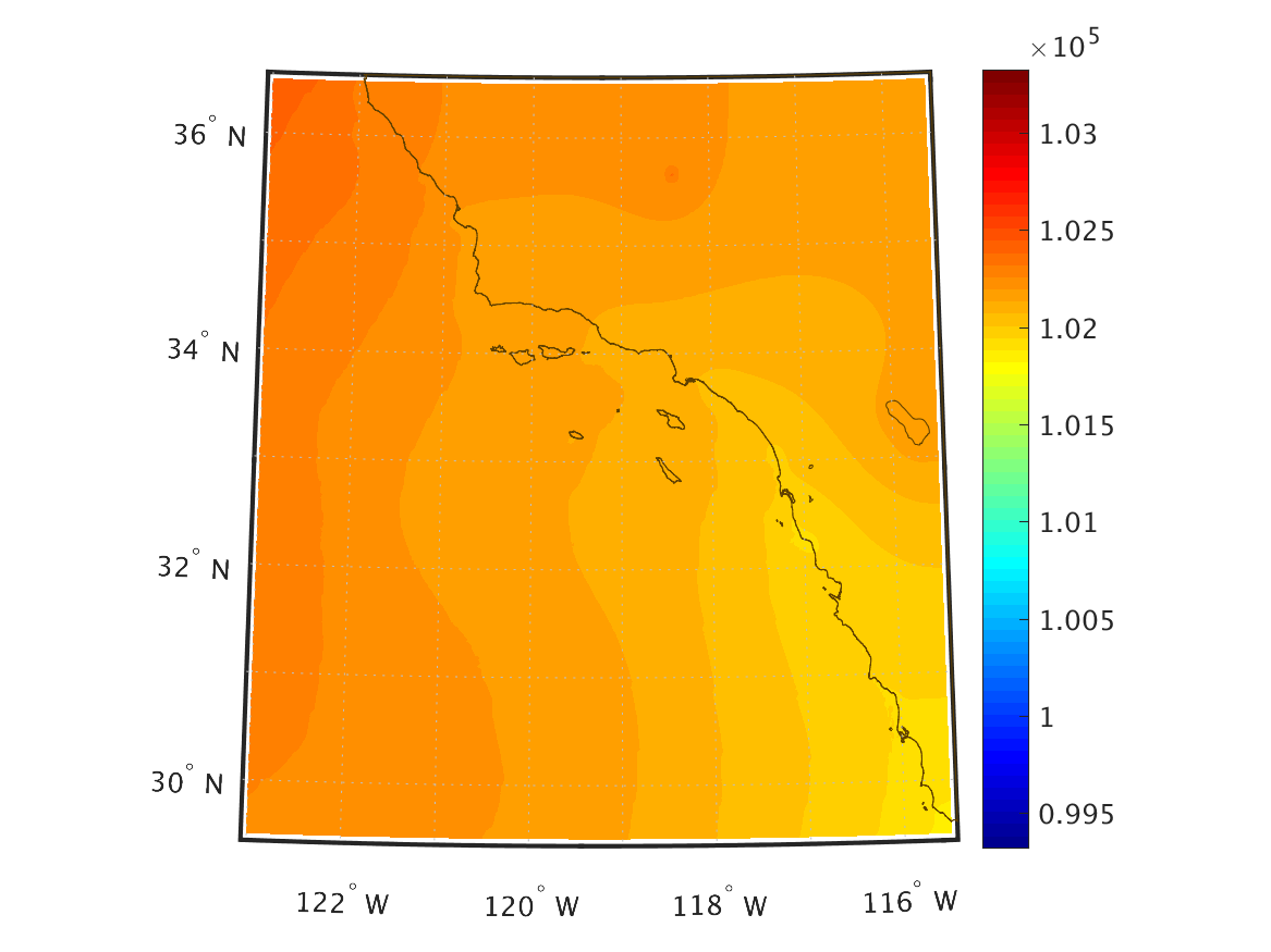
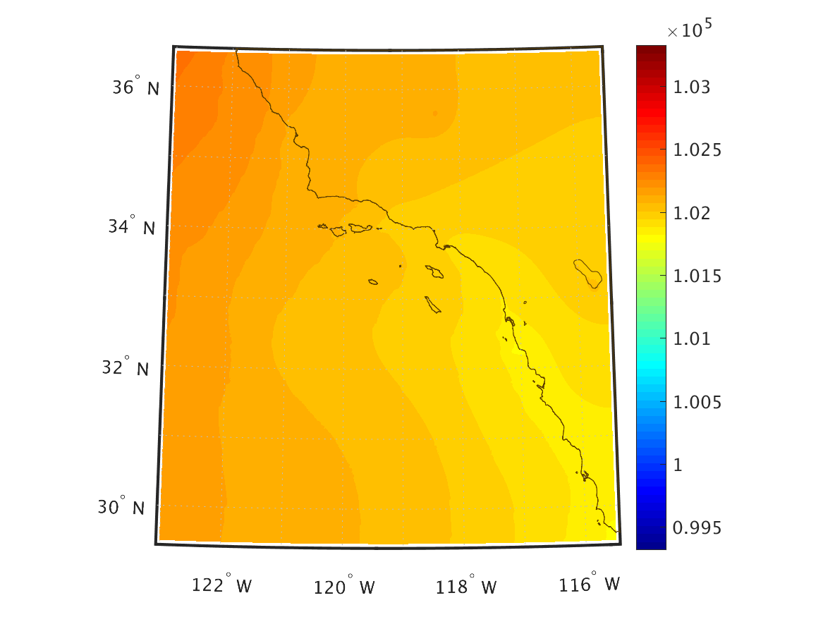
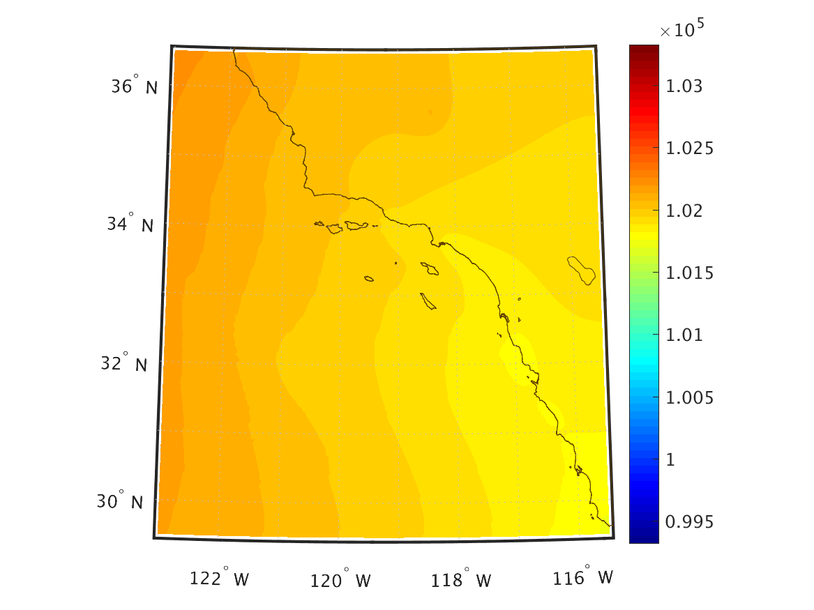
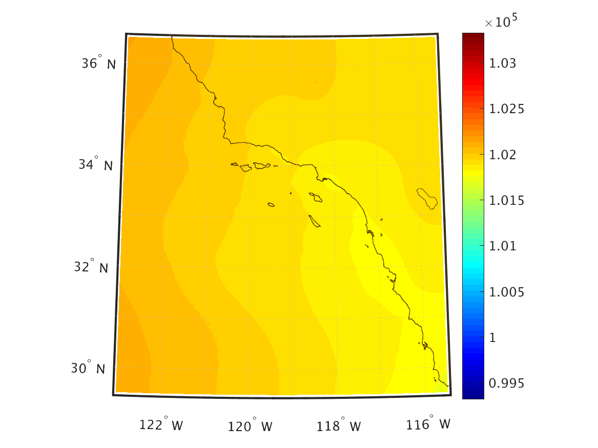
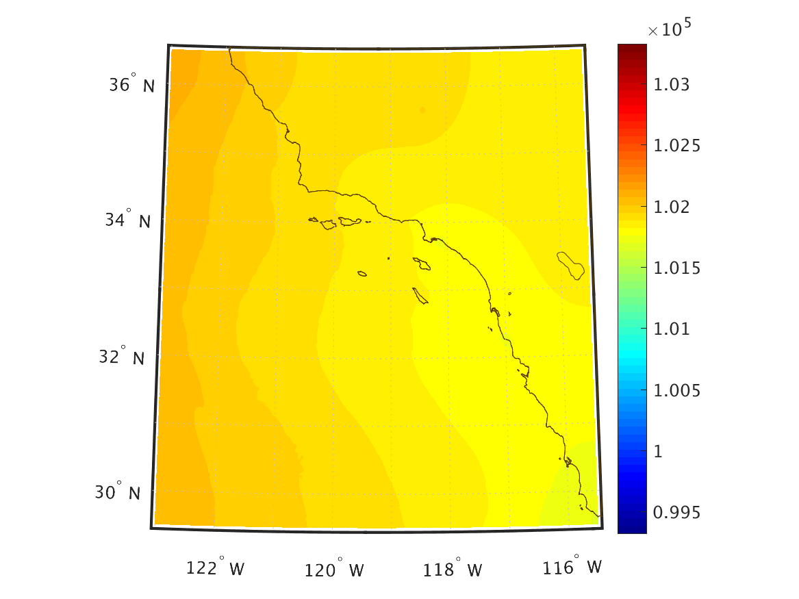
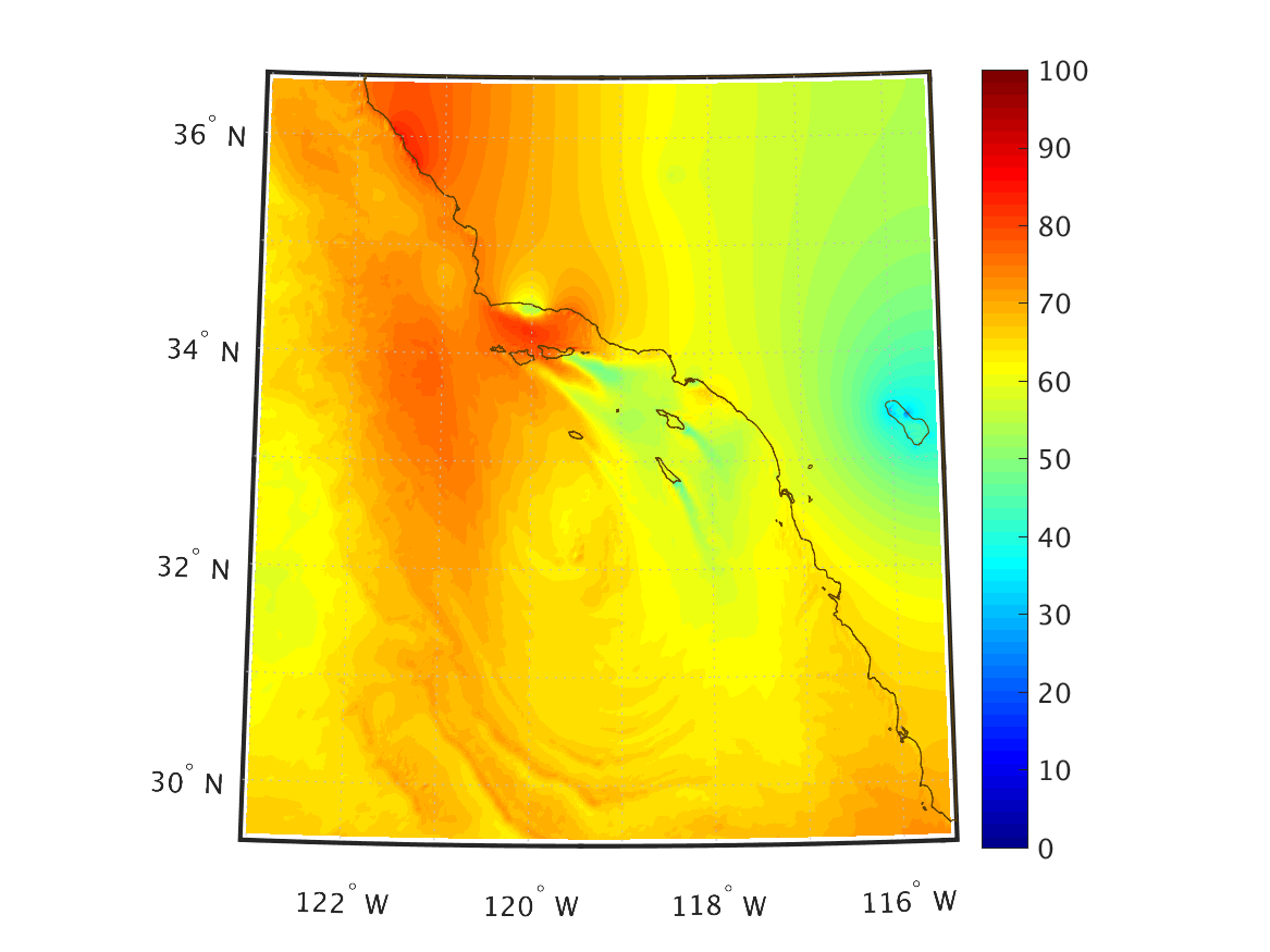
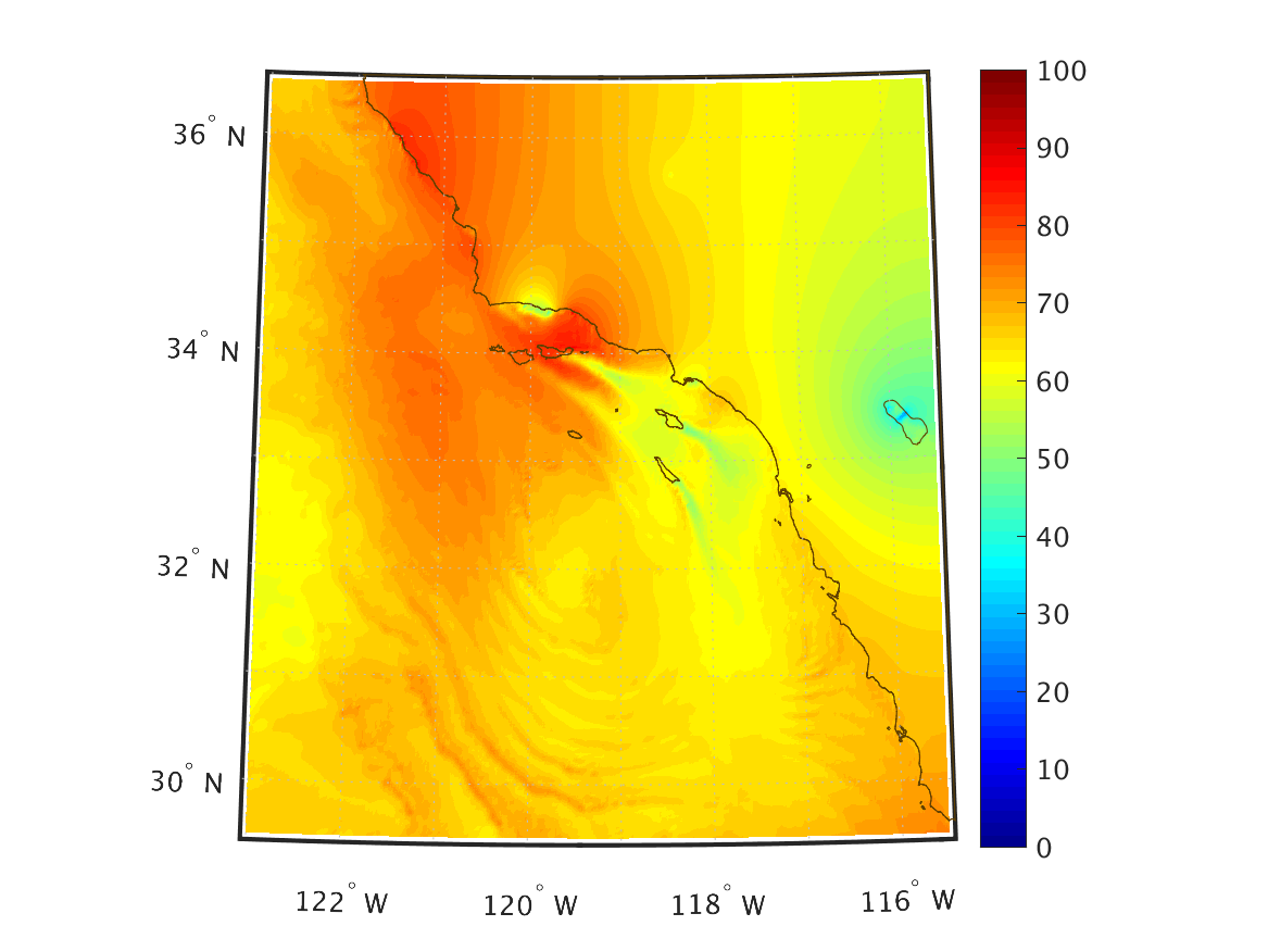
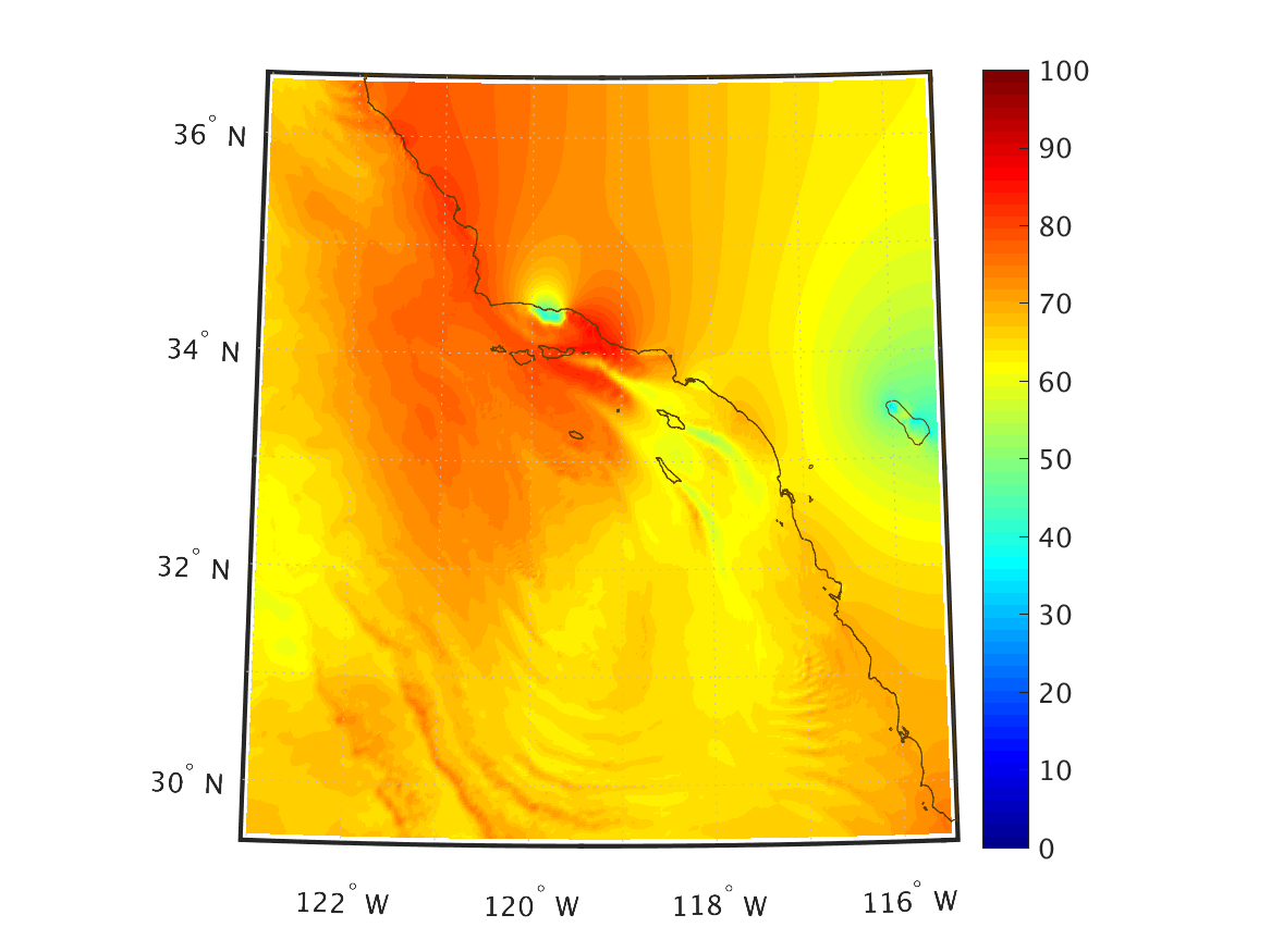
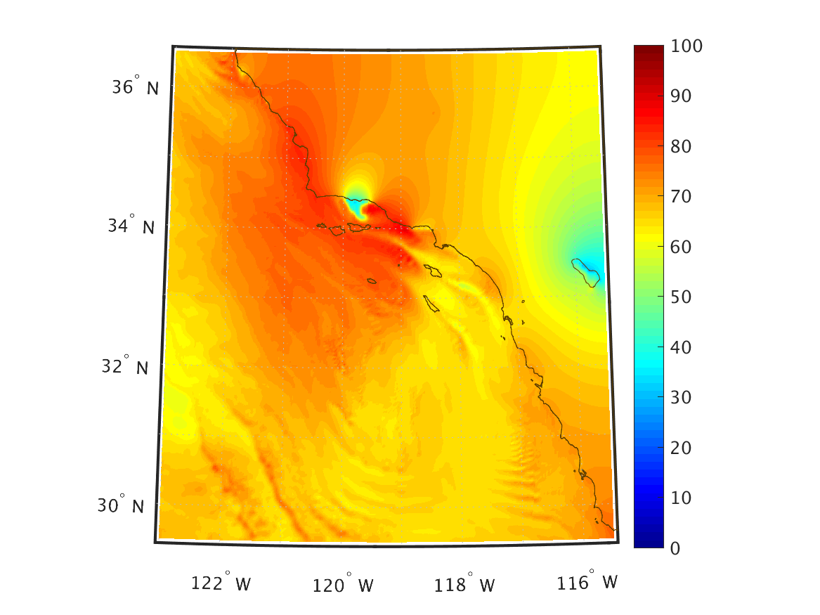
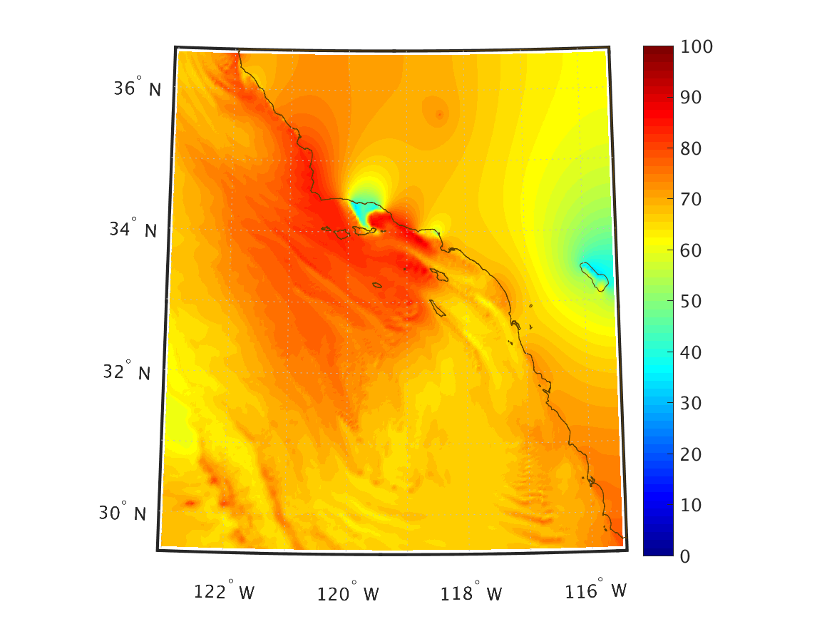
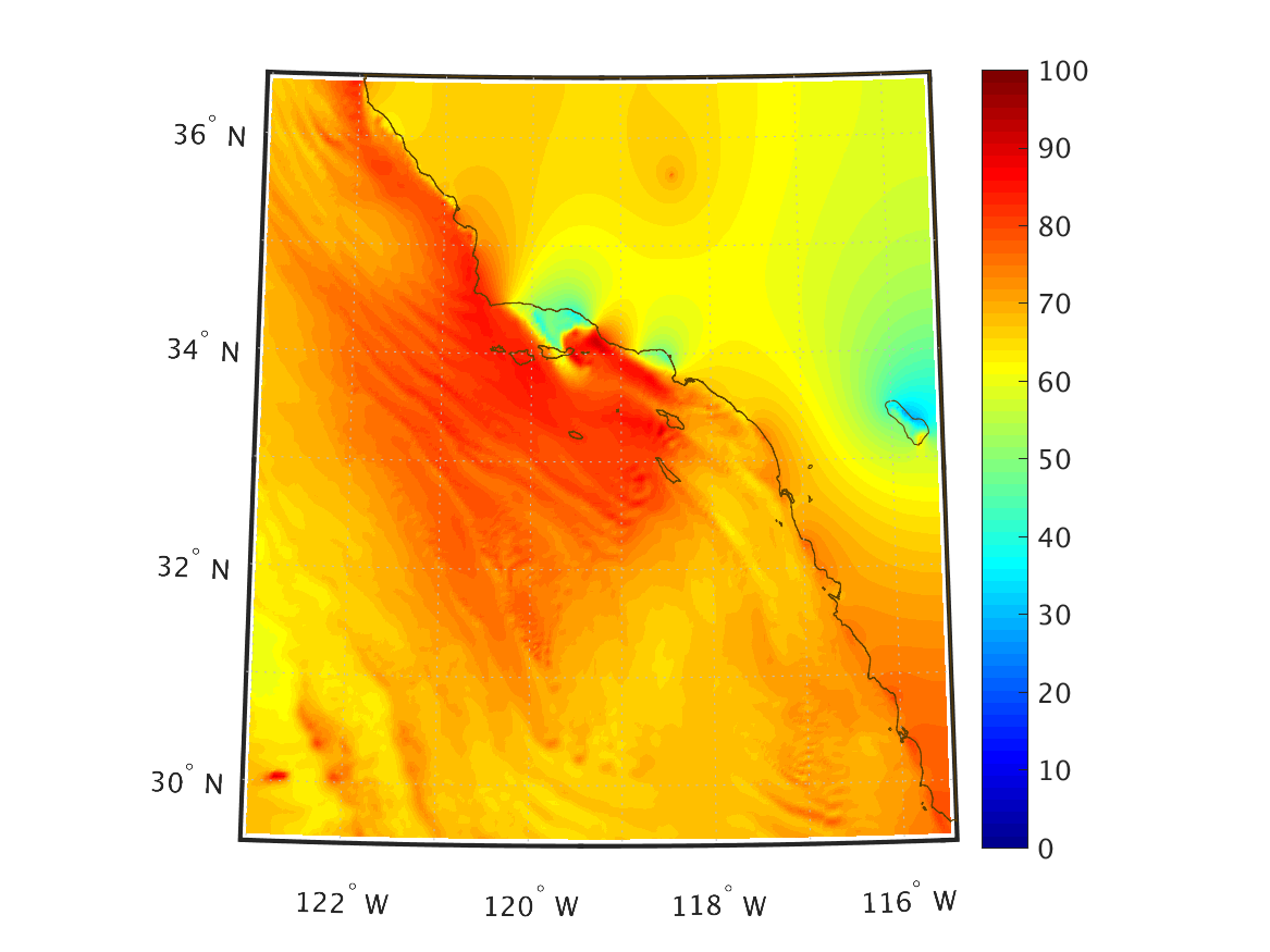
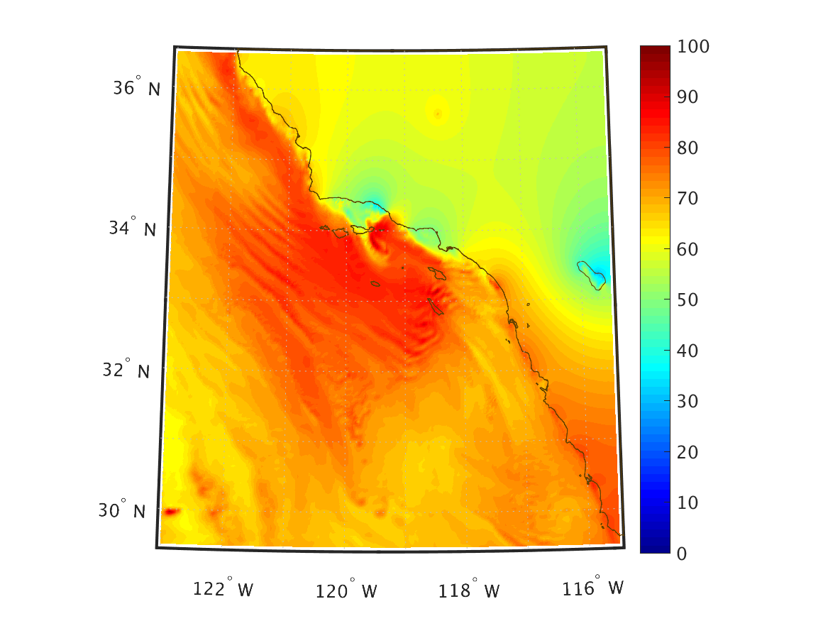
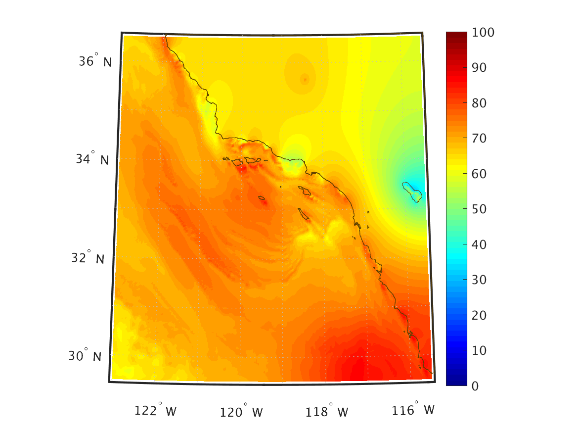
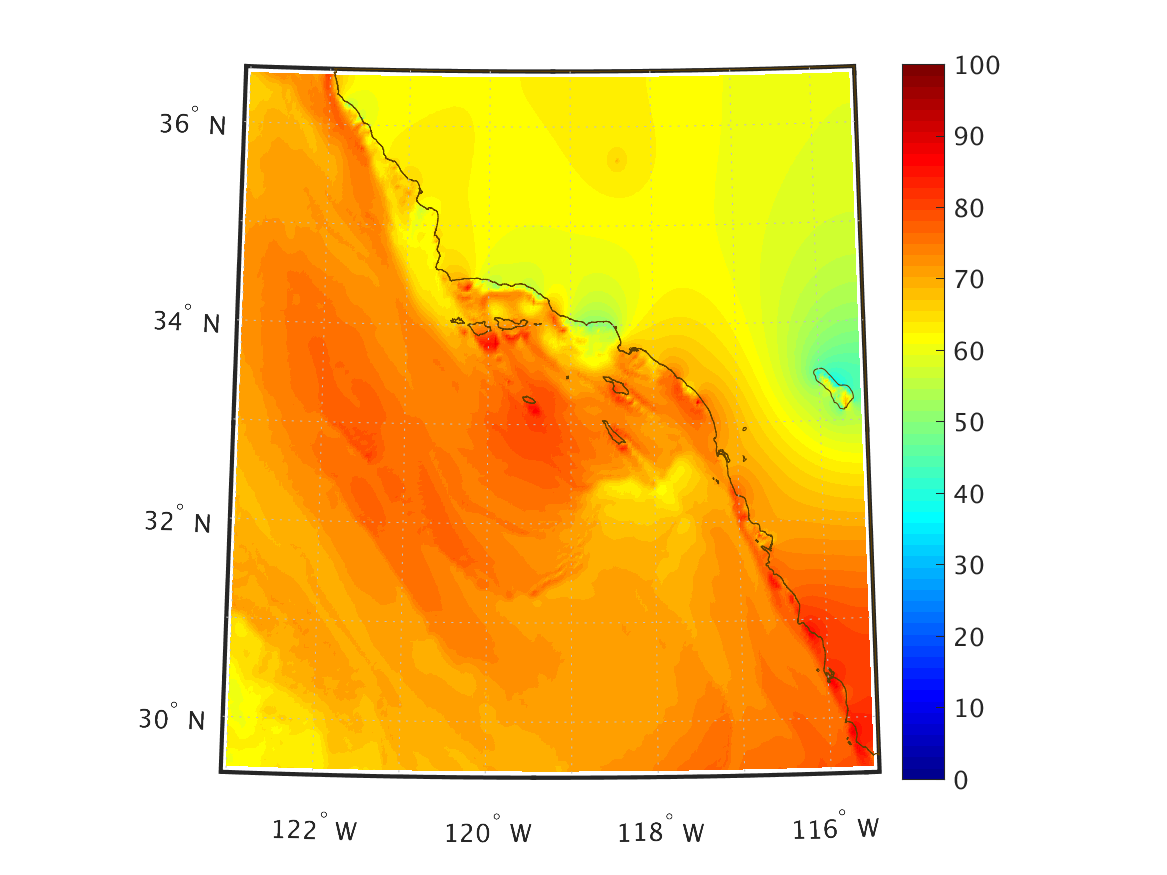
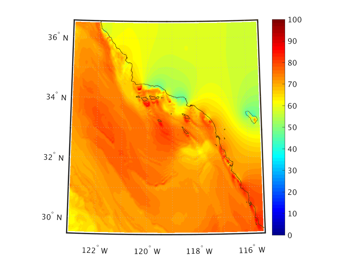
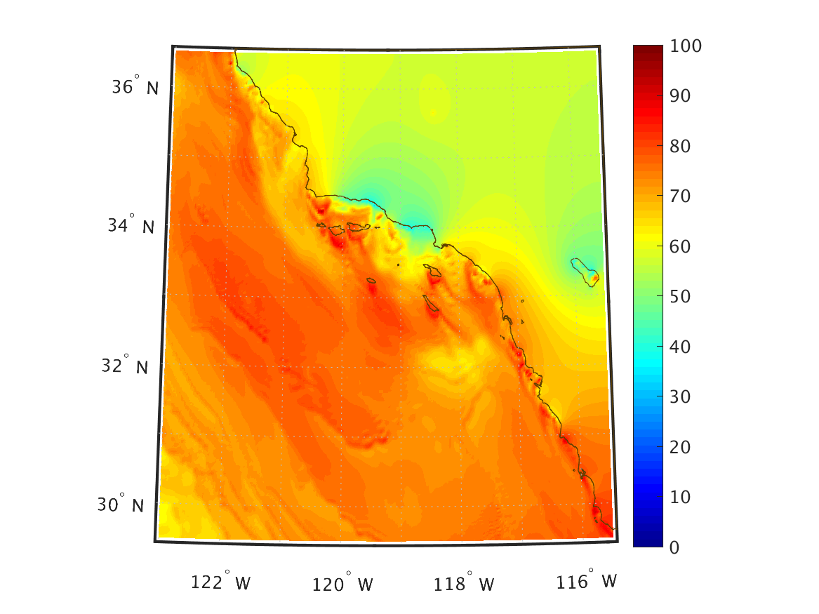
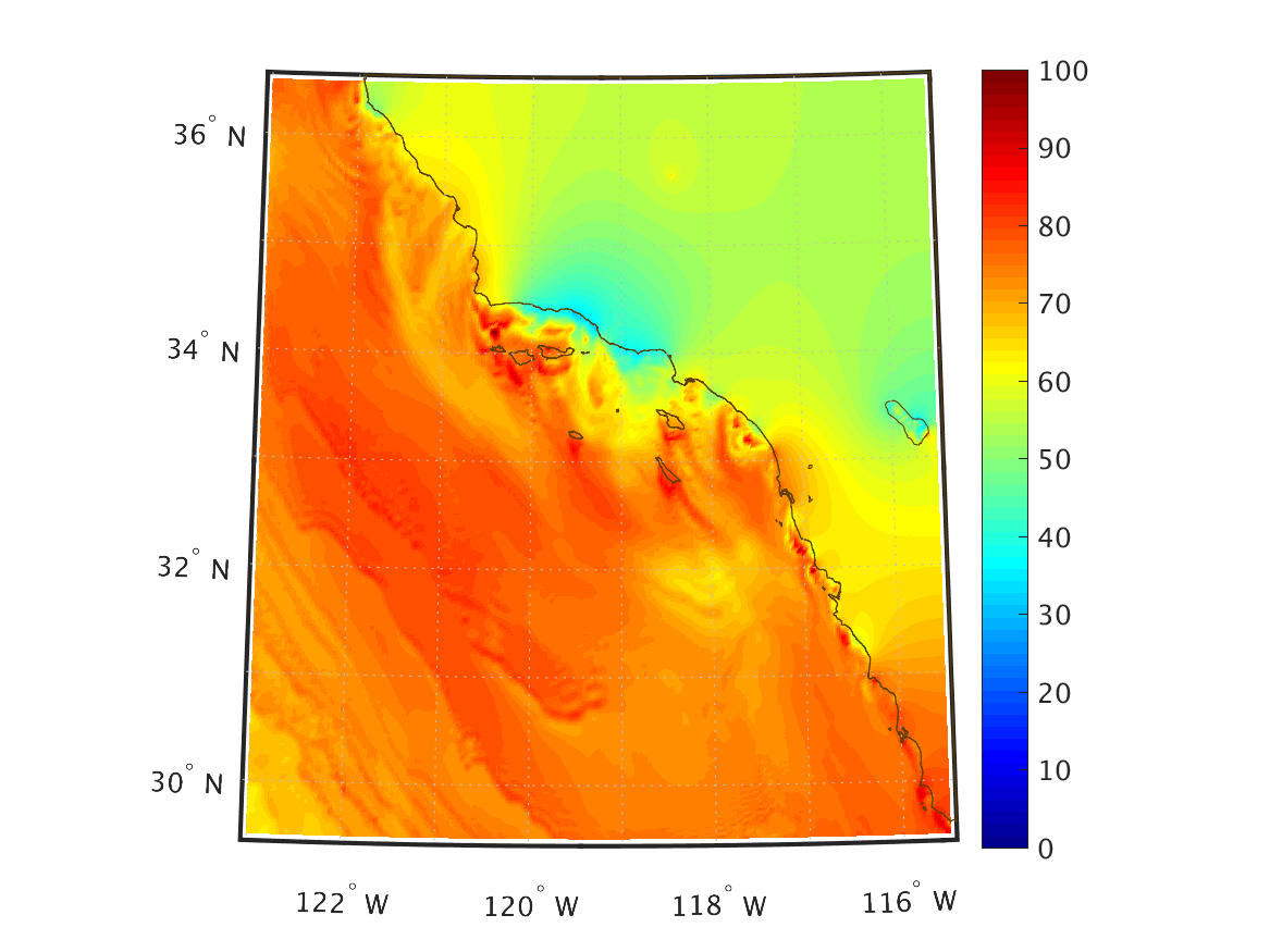
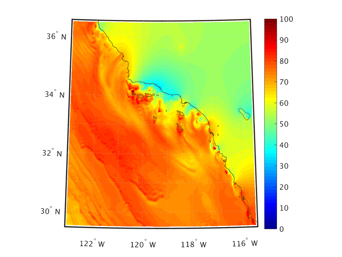
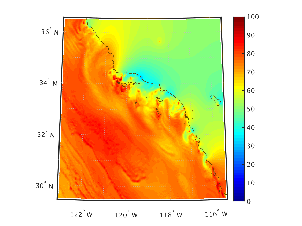
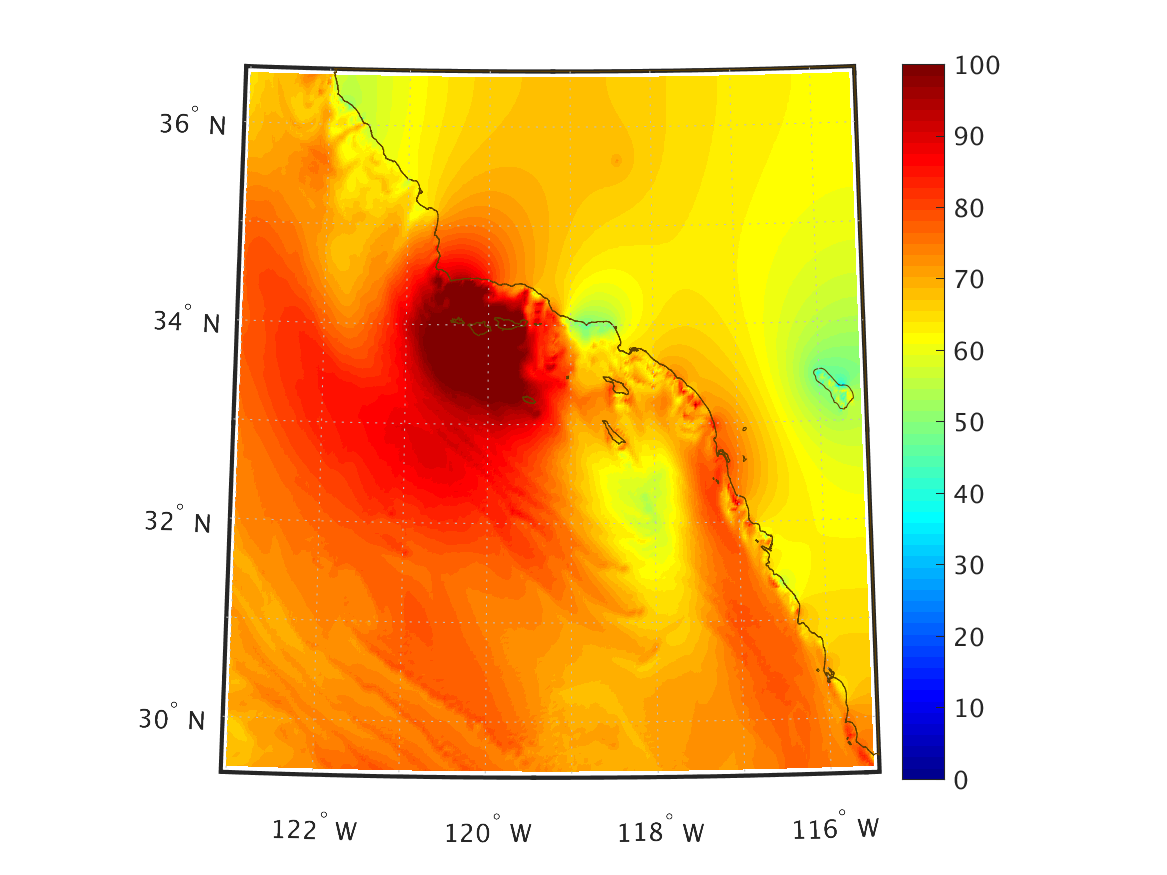
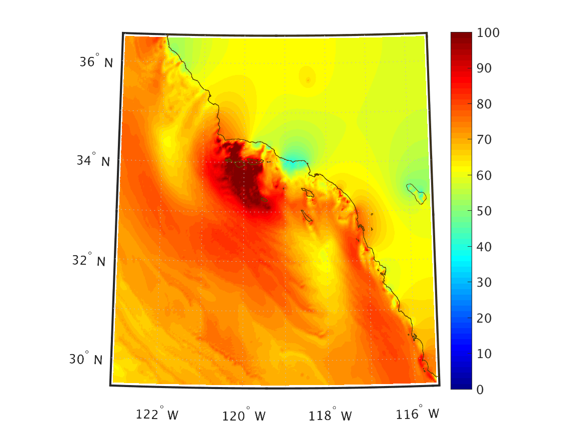
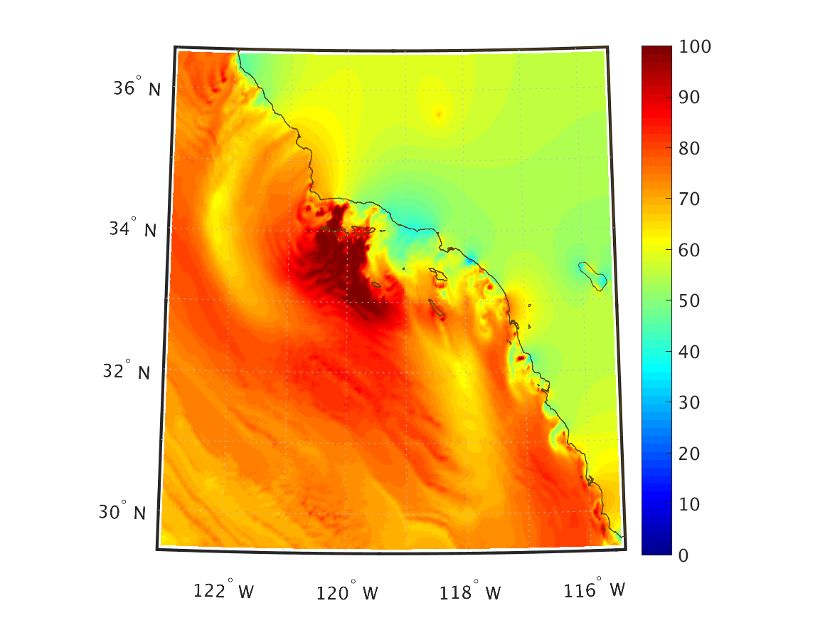
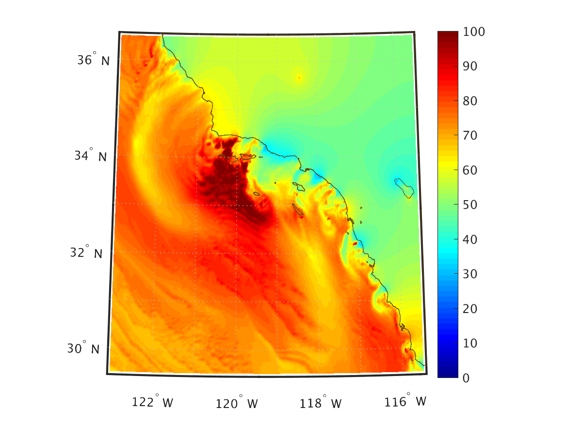
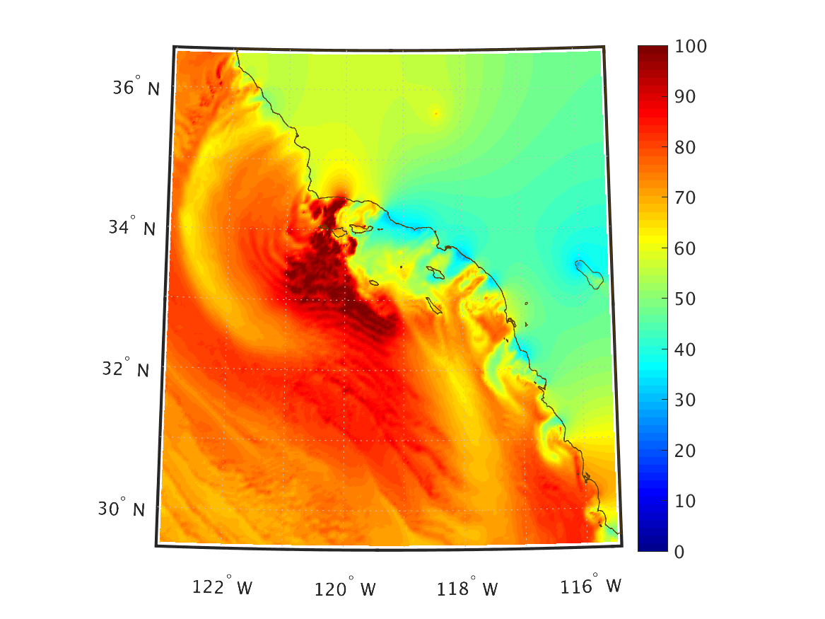
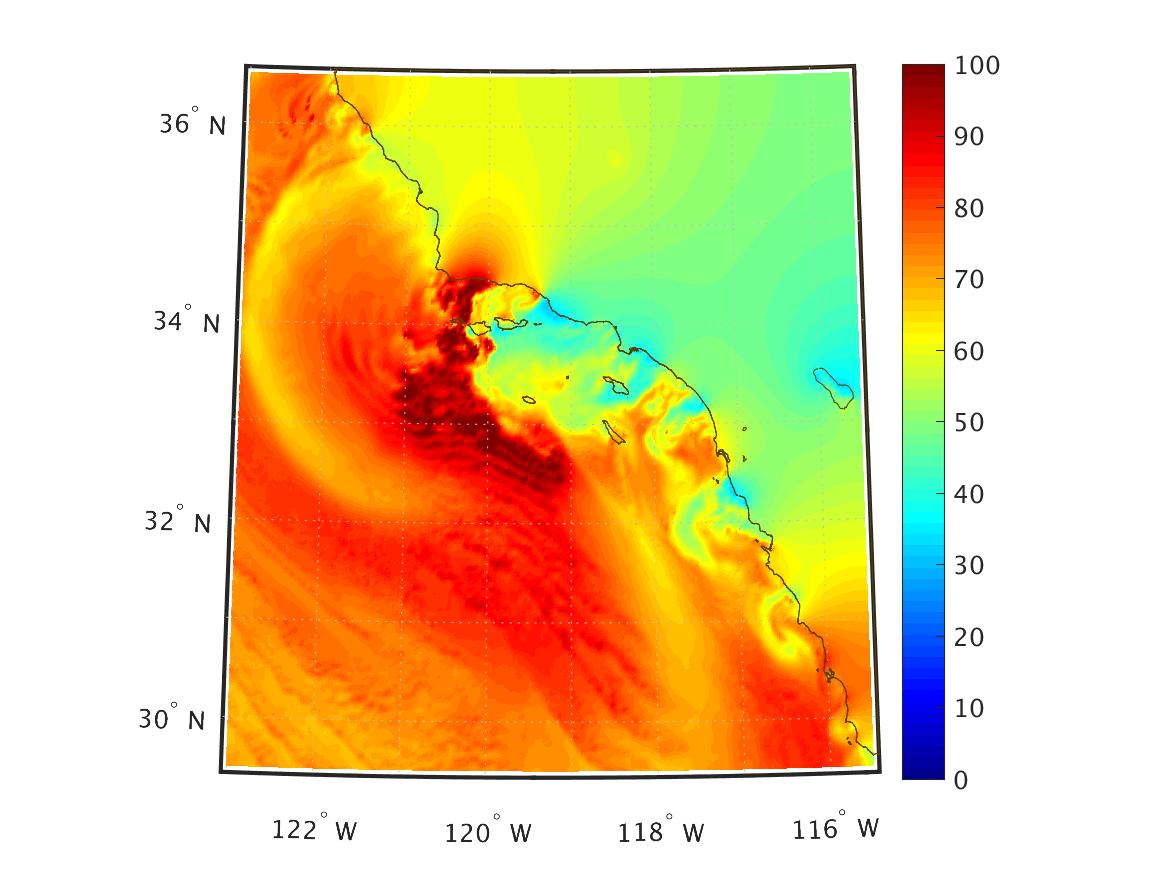
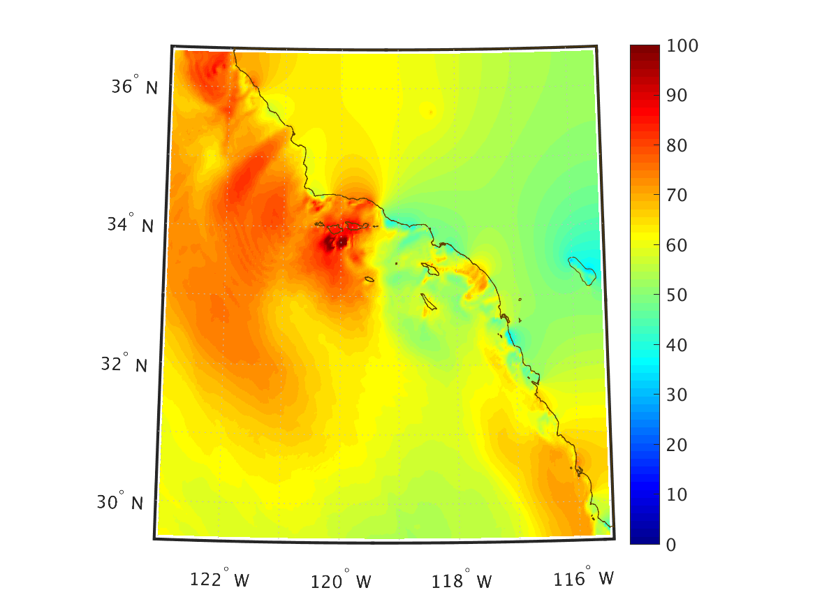
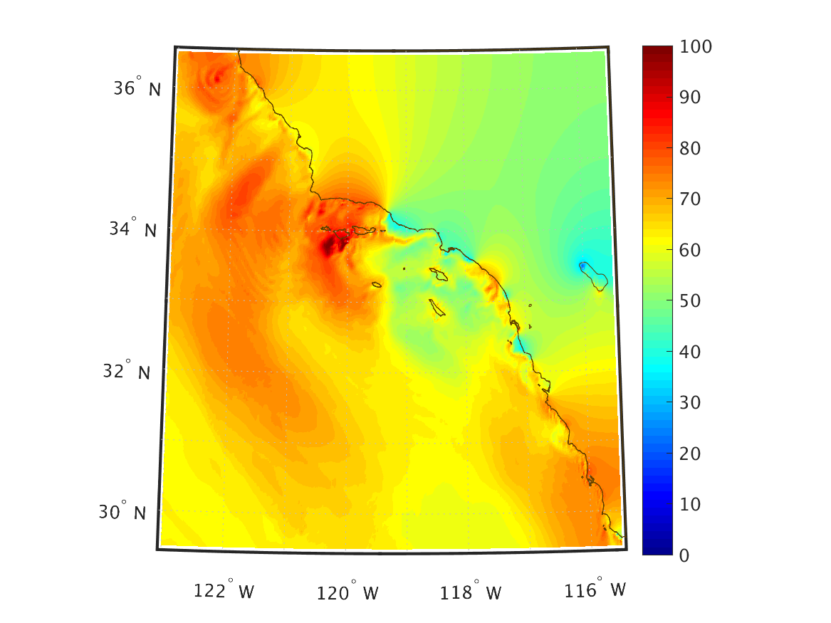
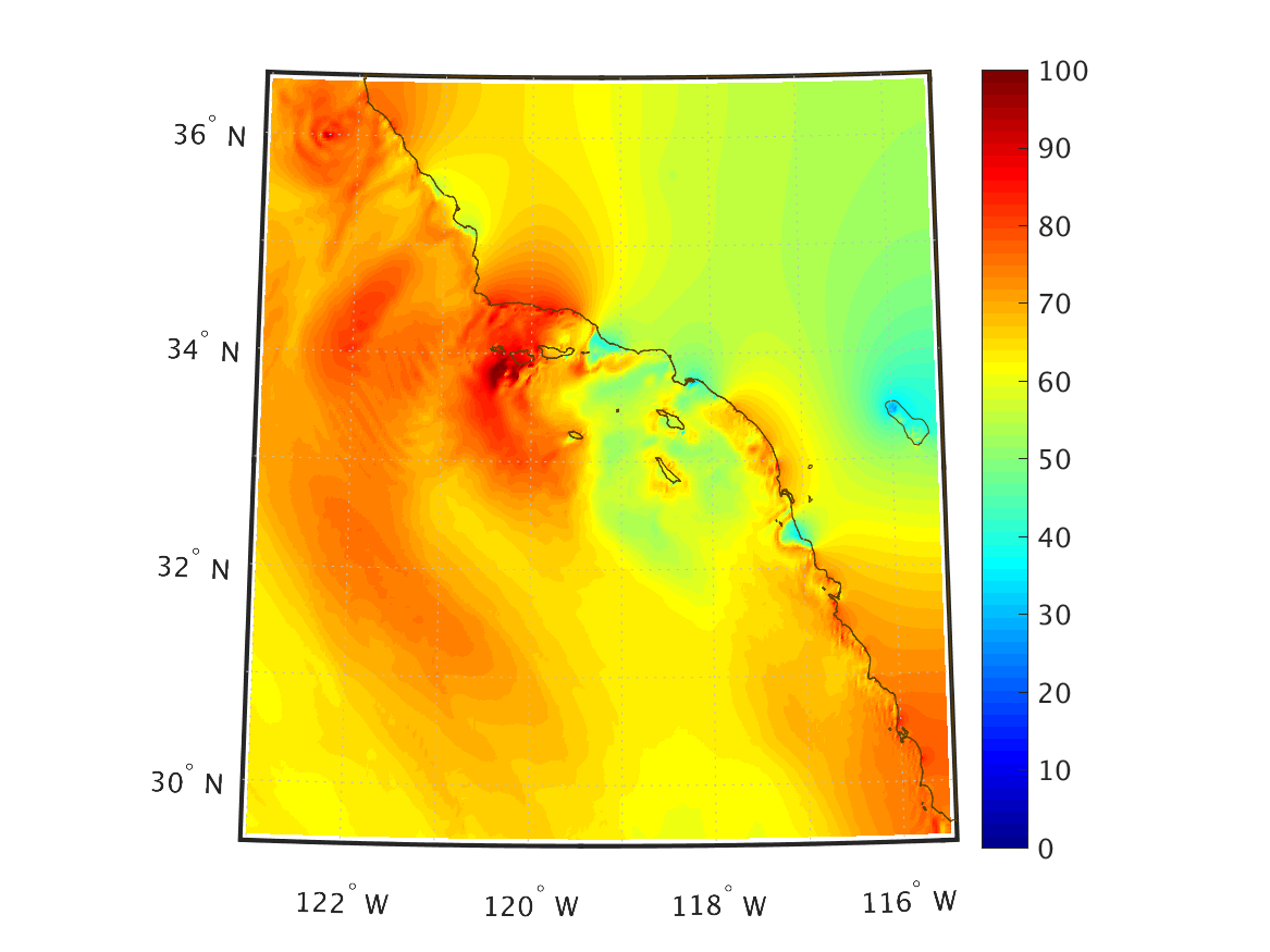
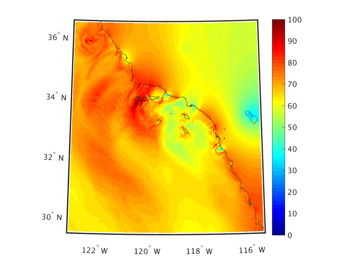
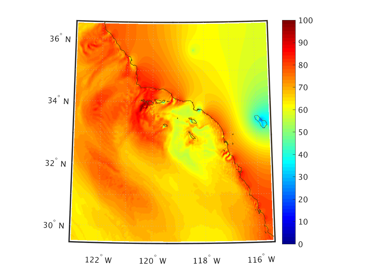
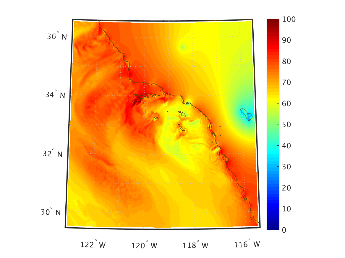
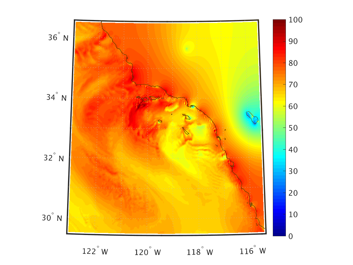
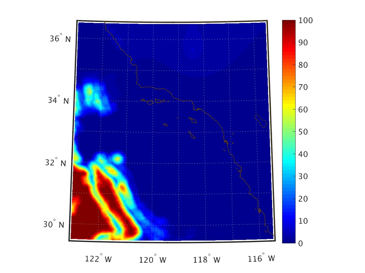
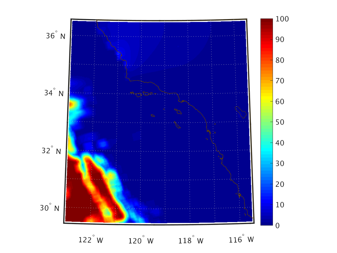
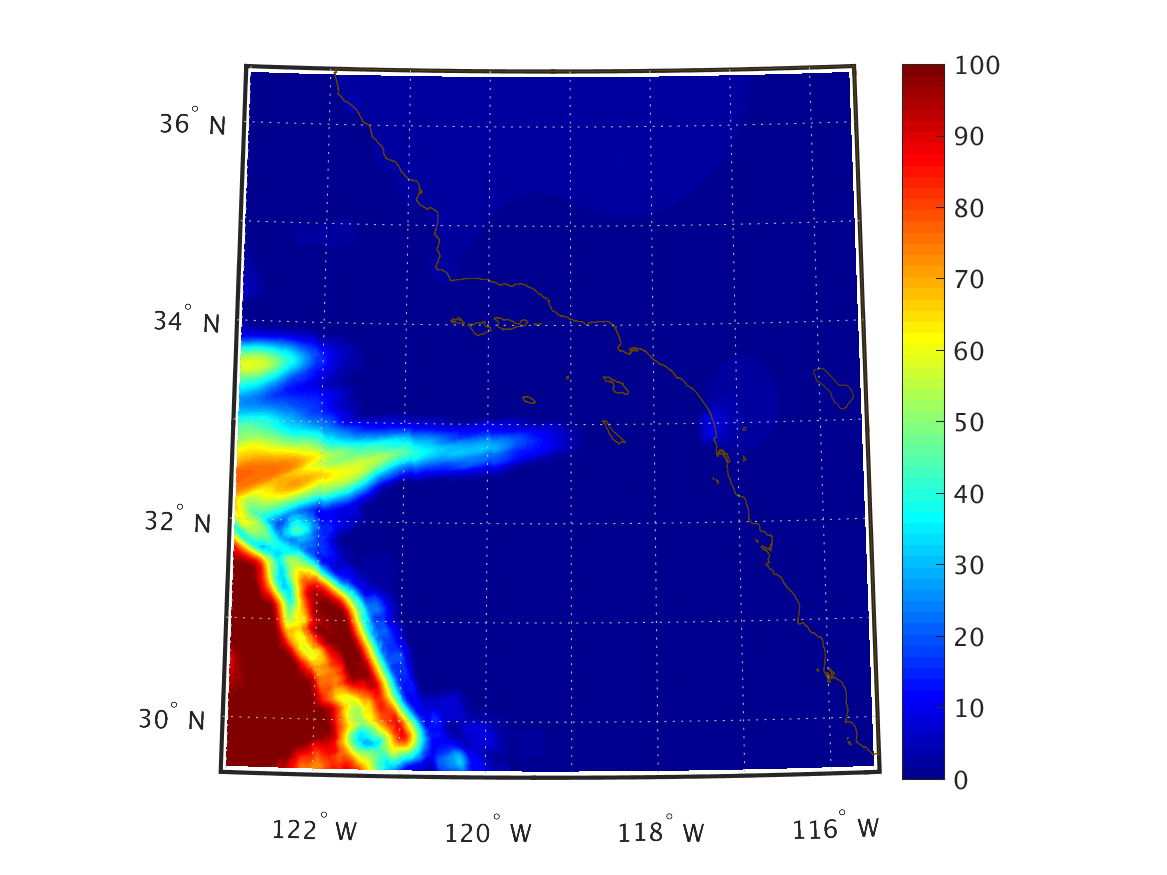
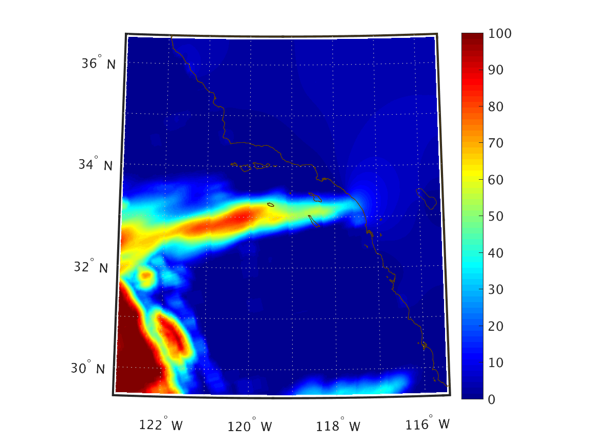
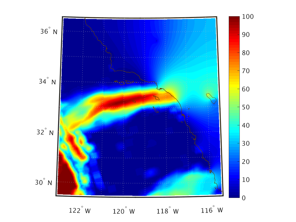
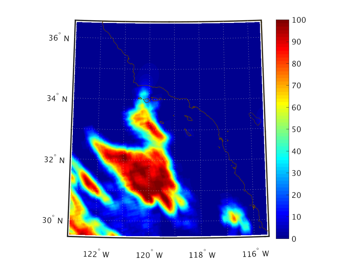
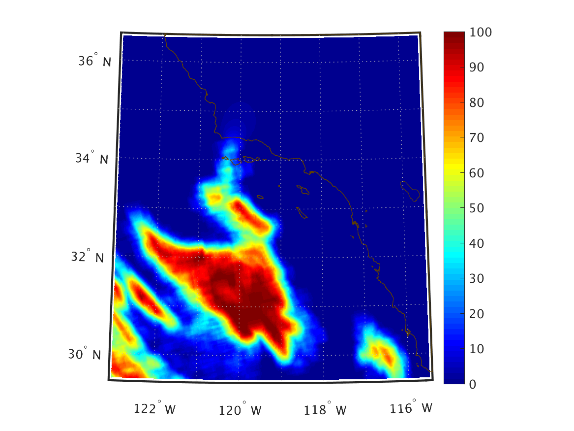
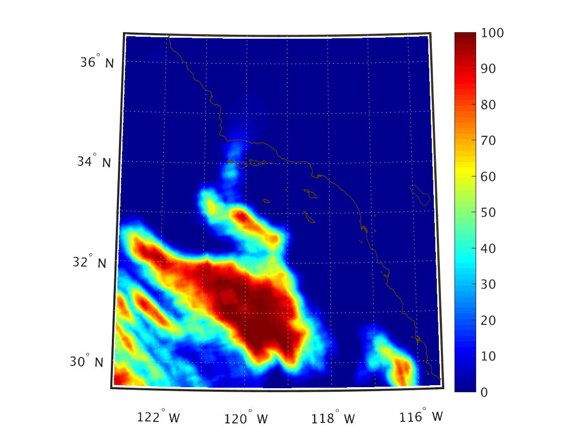
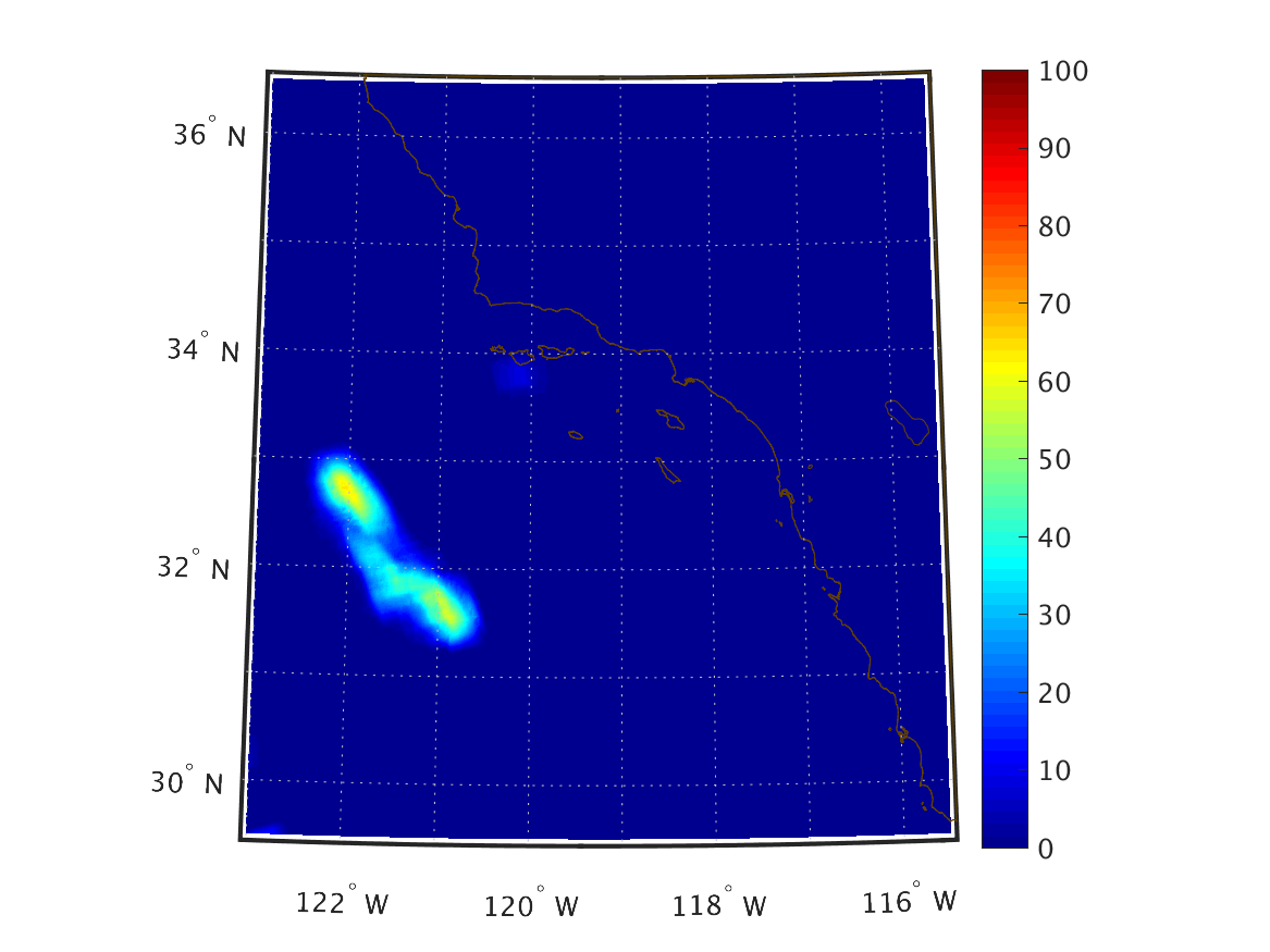
2018 March 05

Note: The sign convention for the fluxes is positive upward, negative downward, except for the shortwave radiation (solar radiation) flux, which has the opposite sign convention.

Variable 00Z Issue 06Z Issue 12Z Issue 18Z Issue
Nowcast – Mar 05 00Z 1-hour forecast – Mar 05 01Z 2-hour forecast – Mar 05 02Z 3-hour forecast – Mar 05 03Z 4-hour forecast – Mar 05 04Z 5-hour forecast – Mar 05 05Z 6-hour forecast – Mar 05 06Z Nowcast – Mar 05 06Z 1-hour forecast – Mar 05 07Z 2-hour forecast – Mar 05 08Z 3-hour forecast – Mar 05 09Z 4-hour forecast – Mar 05 10Z 5-hour forecast – Mar 05 11Z 6-hour forecast – Mar 05 12Z Nowcast – Mar 05 12Z 1-hour forecast – Mar 05 13Z 2-hour forecast – Mar 05 14Z 3-hour forecast – Mar 05 15Z 4-hour forecast – Mar 05 16Z 5-hour forecast – Mar 05 17Z 6-hour forecast – Mar 05 18Z Nowcast – Mar 05 18Z 1-hour forecast – Mar 05 19Z 2-hour forecast – Mar 05 20Z 3-hour forecast – Mar 05 21Z 4-hour forecast – Mar 05 22Z 5-hour forecast – Mar 05 23Z 6-hour forecast – Mar 06 00Z
Zonal Wind Velocity (m/s)
10 m above ground
UGRD_10maboveground_00f00_interp.png
UGRD_10maboveground_00f01_interp.png
UGRD_10maboveground_00f02_interp.png
UGRD_10maboveground_00f03_interp.png
UGRD_10maboveground_00f04_interp.png
UGRD_10maboveground_00f05_interp.png
UGRD_10maboveground_00f06_interp.png
UGRD_10maboveground_06f00_interp.png
UGRD_10maboveground_06f01_interp.png
UGRD_10maboveground_06f02_interp.png
UGRD_10maboveground_06f03_interp.png
UGRD_10maboveground_06f04_interp.png
UGRD_10maboveground_06f05_interp.png
UGRD_10maboveground_06f06_interp.png
UGRD_10maboveground_12f00_interp.png
UGRD_10maboveground_12f01_interp.png
UGRD_10maboveground_12f02_interp.png
UGRD_10maboveground_12f03_interp.png
UGRD_10maboveground_12f04_interp.png
UGRD_10maboveground_12f05_interp.png
UGRD_10maboveground_12f06_interp.png
UGRD_10maboveground_18f00_interp.png
UGRD_10maboveground_18f01_interp.png
UGRD_10maboveground_18f02_interp.png
UGRD_10maboveground_18f03_interp.png
UGRD_10maboveground_18f04_interp.png
UGRD_10maboveground_18f05_interp.png
UGRD_10maboveground_18f06_interp.png
Meridional Wind Velocity (m/s)
10 m above ground
VGRD_10maboveground_00f00_interp.png
VGRD_10maboveground_00f01_interp.png
VGRD_10maboveground_00f02_interp.png
VGRD_10maboveground_00f03_interp.png
VGRD_10maboveground_00f04_interp.png
VGRD_10maboveground_00f05_interp.png
VGRD_10maboveground_00f06_interp.png
VGRD_10maboveground_06f00_interp.png
VGRD_10maboveground_06f01_interp.png
VGRD_10maboveground_06f02_interp.png
VGRD_10maboveground_06f03_interp.png
VGRD_10maboveground_06f04_interp.png
VGRD_10maboveground_06f05_interp.png
VGRD_10maboveground_06f06_interp.png
VGRD_10maboveground_12f00_interp.png
VGRD_10maboveground_12f01_interp.png
VGRD_10maboveground_12f02_interp.png
VGRD_10maboveground_12f03_interp.png
VGRD_10maboveground_12f04_interp.png
VGRD_10maboveground_12f05_interp.png
VGRD_10maboveground_12f06_interp.png
VGRD_10maboveground_18f00_interp.png
VGRD_10maboveground_18f01_interp.png
VGRD_10maboveground_18f02_interp.png
VGRD_10maboveground_18f03_interp.png
VGRD_10maboveground_18f04_interp.png
VGRD_10maboveground_18f05_interp.png
VGRD_10maboveground_18f06_interp.png
Downward Shortwave Radiation Flux (W/m2)
Surface
DSWRF_surface_00f00_interp.png
DSWRF_surface_00f01_interp.png
DSWRF_surface_00f02_interp.png
DSWRF_surface_00f03_interp.png
DSWRF_surface_00f04_interp.png
DSWRF_surface_00f05_interp.png
DSWRF_surface_00f06_interp.png
DSWRF_surface_06f00_interp.png
DSWRF_surface_06f01_interp.png
DSWRF_surface_06f02_interp.png
DSWRF_surface_06f03_interp.png
DSWRF_surface_06f04_interp.png
DSWRF_surface_06f05_interp.png
DSWRF_surface_06f06_interp.png
DSWRF_surface_12f00_interp.png
DSWRF_surface_12f01_interp.png
DSWRF_surface_12f02_interp.png
DSWRF_surface_12f03_interp.png
DSWRF_surface_12f04_interp.png
DSWRF_surface_12f05_interp.png
DSWRF_surface_12f06_interp.png
DSWRF_surface_18f00_interp.png
DSWRF_surface_18f01_interp.png
DSWRF_surface_18f02_interp.png
DSWRF_surface_18f03_interp.png
DSWRF_surface_18f04_interp.png
DSWRF_surface_18f05_interp.png
DSWRF_surface_18f06_interp.png
Upward Longwave Radiation Flux (W/m2)
Surface
ULWRF_surface_00f00_interp.png
ULWRF_surface_00f01_interp.png
ULWRF_surface_00f02_interp.png
ULWRF_surface_00f03_interp.png
ULWRF_surface_00f04_interp.png
ULWRF_surface_00f05_interp.png
ULWRF_surface_00f06_interp.png
ULWRF_surface_06f00_interp.png
ULWRF_surface_06f01_interp.png
ULWRF_surface_06f02_interp.png
ULWRF_surface_06f03_interp.png
ULWRF_surface_06f04_interp.png
ULWRF_surface_06f05_interp.png
ULWRF_surface_06f06_interp.png
ULWRF_surface_12f00_interp.png
ULWRF_surface_12f01_interp.png
ULWRF_surface_12f02_interp.png
ULWRF_surface_12f03_interp.png
ULWRF_surface_12f04_interp.png
ULWRF_surface_12f05_interp.png
ULWRF_surface_12f06_interp.png
ULWRF_surface_18f00_interp.png
ULWRF_surface_18f01_interp.png
ULWRF_surface_18f02_interp.png
ULWRF_surface_18f03_interp.png
ULWRF_surface_18f04_interp.png
ULWRF_surface_18f05_interp.png
ULWRF_surface_18f06_interp.png
Net Latent Heat Flux (W/m2)
Surface
LHTFL_surface_00f00_interp.png
LHTFL_surface_00f01_interp.png
LHTFL_surface_00f02_interp.png
LHTFL_surface_00f03_interp.png
LHTFL_surface_00f04_interp.png
LHTFL_surface_00f05_interp.png
LHTFL_surface_00f06_interp.png
LHTFL_surface_06f00_interp.png
LHTFL_surface_06f01_interp.png
LHTFL_surface_06f02_interp.png
LHTFL_surface_06f03_interp.png
LHTFL_surface_06f04_interp.png
LHTFL_surface_06f05_interp.png
LHTFL_surface_06f06_interp.png
LHTFL_surface_12f00_interp.png
LHTFL_surface_12f01_interp.png
LHTFL_surface_12f02_interp.png
LHTFL_surface_12f03_interp.png
LHTFL_surface_12f04_interp.png
LHTFL_surface_12f05_interp.png
LHTFL_surface_12f06_interp.png
LHTFL_surface_18f00_interp.png
LHTFL_surface_18f01_interp.png
LHTFL_surface_18f02_interp.png
LHTFL_surface_18f03_interp.png
LHTFL_surface_18f04_interp.png
LHTFL_surface_18f05_interp.png
LHTFL_surface_18f06_interp.png
Net Sensible Heat Flux (W/m2)
Surface
SHTFL_surface_00f00_interp.png
SHTFL_surface_00f01_interp.png
SHTFL_surface_00f02_interp.png
SHTFL_surface_00f03_interp.png
SHTFL_surface_00f04_interp.png
SHTFL_surface_00f05_interp.png
SHTFL_surface_00f06_interp.png
SHTFL_surface_06f00_interp.png
SHTFL_surface_06f01_interp.png
SHTFL_surface_06f02_interp.png
SHTFL_surface_06f03_interp.png
SHTFL_surface_06f04_interp.png
SHTFL_surface_06f05_interp.png
SHTFL_surface_06f06_interp.png
SHTFL_surface_12f00_interp.png
SHTFL_surface_12f01_interp.png
SHTFL_surface_12f02_interp.png
SHTFL_surface_12f03_interp.png
SHTFL_surface_12f04_interp.png
SHTFL_surface_12f05_interp.png
SHTFL_surface_12f06_interp.png
SHTFL_surface_18f00_interp.png
SHTFL_surface_18f01_interp.png
SHTFL_surface_18f02_interp.png
SHTFL_surface_18f03_interp.png
SHTFL_surface_18f04_interp.png
SHTFL_surface_18f05_interp.png
SHTFL_surface_18f06_interp.png
Evaporation (kg/m2)
Over past hour
EVP_surface_00f00_interp.png
EVP_surface_00f01_interp.png
EVP_surface_00f02_interp.png
EVP_surface_00f03_interp.png
EVP_surface_00f04_interp.png
EVP_surface_00f05_interp.png
EVP_surface_00f06_interp.png
EVP_surface_06f00_interp.png
EVP_surface_06f01_interp.png
EVP_surface_06f02_interp.png
EVP_surface_06f03_interp.png
EVP_surface_06f04_interp.png
EVP_surface_06f05_interp.png
EVP_surface_06f06_interp.png
EVP_surface_12f00_interp.png
EVP_surface_12f01_interp.png
EVP_surface_12f02_interp.png
EVP_surface_12f03_interp.png
EVP_surface_12f04_interp.png
EVP_surface_12f05_interp.png
EVP_surface_12f06_interp.png
EVP_surface_18f00_interp.png
EVP_surface_18f01_interp.png
EVP_surface_18f02_interp.png
EVP_surface_18f03_interp.png
EVP_surface_18f04_interp.png
EVP_surface_18f05_interp.png
EVP_surface_18f06_interp.png
Total Precipitation (kg/m2)
Over past hour
APCP_surface_00f00_interp.png
APCP_surface_00f01_interp.png
APCP_surface_00f02_interp.png
APCP_surface_00f03_interp.png
APCP_surface_00f04_interp.png
APCP_surface_00f05_interp.png
APCP_surface_00f06_interp.png
APCP_surface_06f00_interp.png
APCP_surface_06f01_interp.png
APCP_surface_06f02_interp.png
APCP_surface_06f03_interp.png
APCP_surface_06f04_interp.png
APCP_surface_06f05_interp.png
APCP_surface_06f06_interp.png
APCP_surface_12f00_interp.png
APCP_surface_12f01_interp.png
APCP_surface_12f02_interp.png
APCP_surface_12f03_interp.png
APCP_surface_12f04_interp.png
APCP_surface_12f05_interp.png
APCP_surface_12f06_interp.png
APCP_surface_18f00_interp.png
APCP_surface_18f01_interp.png
APCP_surface_18f02_interp.png
APCP_surface_18f03_interp.png
APCP_surface_18f04_interp.png
APCP_surface_18f05_interp.png
APCP_surface_18f06_interp.png
Temperature (K)
2 m above ground
TMP_2maboveground_00f00_interp.png
TMP_2maboveground_00f01_interp.png
TMP_2maboveground_00f02_interp.png
TMP_2maboveground_00f03_interp.png
TMP_2maboveground_00f04_interp.png
TMP_2maboveground_00f05_interp.png
TMP_2maboveground_00f06_interp.png
TMP_2maboveground_06f00_interp.png
TMP_2maboveground_06f01_interp.png
TMP_2maboveground_06f02_interp.png
TMP_2maboveground_06f03_interp.png
TMP_2maboveground_06f04_interp.png
TMP_2maboveground_06f05_interp.png
TMP_2maboveground_06f06_interp.png
TMP_2maboveground_12f00_interp.png
TMP_2maboveground_12f01_interp.png
TMP_2maboveground_12f02_interp.png
TMP_2maboveground_12f03_interp.png
TMP_2maboveground_12f04_interp.png
TMP_2maboveground_12f05_interp.png
TMP_2maboveground_12f06_interp.png
TMP_2maboveground_18f00_interp.png
TMP_2maboveground_18f01_interp.png
TMP_2maboveground_18f02_interp.png
TMP_2maboveground_18f03_interp.png
TMP_2maboveground_18f04_interp.png
TMP_2maboveground_18f05_interp.png
TMP_2maboveground_18f06_interp.png
Pressure (Pa)
Mean Sea Level
PRMSL_meansealevel_00f00_interp.png
PRMSL_meansealevel_00f01_interp.png
PRMSL_meansealevel_00f02_interp.png
PRMSL_meansealevel_00f03_interp.png
PRMSL_meansealevel_00f04_interp.png
PRMSL_meansealevel_00f05_interp.png
PRMSL_meansealevel_00f06_interp.png
PRMSL_meansealevel_06f00_interp.png
PRMSL_meansealevel_06f01_interp.png
PRMSL_meansealevel_06f02_interp.png
PRMSL_meansealevel_06f03_interp.png
PRMSL_meansealevel_06f04_interp.png
PRMSL_meansealevel_06f05_interp.png
PRMSL_meansealevel_06f06_interp.png
PRMSL_meansealevel_12f00_interp.png
PRMSL_meansealevel_12f01_interp.png
PRMSL_meansealevel_12f02_interp.png
PRMSL_meansealevel_12f03_interp.png
PRMSL_meansealevel_12f04_interp.png
PRMSL_meansealevel_12f05_interp.png
PRMSL_meansealevel_12f06_interp.png
PRMSL_meansealevel_18f00_interp.png
PRMSL_meansealevel_18f01_interp.png
PRMSL_meansealevel_18f02_interp.png
PRMSL_meansealevel_18f03_interp.png
PRMSL_meansealevel_18f04_interp.png
PRMSL_meansealevel_18f05_interp.png
PRMSL_meansealevel_18f06_interp.png
Relative Humidity (%)
2 m above ground
RH_2maboveground_00f00_interp.png
RH_2maboveground_00f01_interp.png
RH_2maboveground_00f02_interp.png
RH_2maboveground_00f03_interp.png
RH_2maboveground_00f04_interp.png
RH_2maboveground_00f05_interp.png
RH_2maboveground_00f06_interp.png
RH_2maboveground_06f00_interp.png
RH_2maboveground_06f01_interp.png
RH_2maboveground_06f02_interp.png
RH_2maboveground_06f03_interp.png
RH_2maboveground_06f04_interp.png
RH_2maboveground_06f05_interp.png
RH_2maboveground_06f06_interp.png
RH_2maboveground_12f00_interp.png
RH_2maboveground_12f01_interp.png
RH_2maboveground_12f02_interp.png
RH_2maboveground_12f03_interp.png
RH_2maboveground_12f04_interp.png
RH_2maboveground_12f05_interp.png
RH_2maboveground_12f06_interp.png
RH_2maboveground_18f00_interp.png
RH_2maboveground_18f01_interp.png
RH_2maboveground_18f02_interp.png
RH_2maboveground_18f03_interp.png
RH_2maboveground_18f04_interp.png
RH_2maboveground_18f05_interp.png
RH_2maboveground_18f06_interp.png
Total Cloud Cover (%)
over the entire atmosphere
TCDC_entireatmosphere_consideredasasinglelayer__00f00_interp.png
TCDC_entireatmosphere_consideredasasinglelayer__00f01_interp.png
TCDC_entireatmosphere_consideredasasinglelayer__00f02_interp.png
TCDC_entireatmosphere_consideredasasinglelayer__00f03_interp.png
TCDC_entireatmosphere_consideredasasinglelayer__00f04_interp.png
TCDC_entireatmosphere_consideredasasinglelayer__00f05_interp.png
TCDC_entireatmosphere_consideredasasinglelayer__00f06_interp.png
TCDC_entireatmosphere_consideredasasinglelayer__06f00_interp.png
TCDC_entireatmosphere_consideredasasinglelayer__06f01_interp.png
TCDC_entireatmosphere_consideredasasinglelayer__06f02_interp.png
TCDC_entireatmosphere_consideredasasinglelayer__06f03_interp.png
TCDC_entireatmosphere_consideredasasinglelayer__06f04_interp.png
TCDC_entireatmosphere_consideredasasinglelayer__06f05_interp.png
TCDC_entireatmosphere_consideredasasinglelayer__06f06_interp.png
TCDC_entireatmosphere_consideredasasinglelayer__12f00_interp.png
TCDC_entireatmosphere_consideredasasinglelayer__12f01_interp.png
TCDC_entireatmosphere_consideredasasinglelayer__12f02_interp.png
TCDC_entireatmosphere_consideredasasinglelayer__12f03_interp.png
TCDC_entireatmosphere_consideredasasinglelayer__12f04_interp.png
TCDC_entireatmosphere_consideredasasinglelayer__12f05_interp.png
TCDC_entireatmosphere_consideredasasinglelayer__12f06_interp.png
TCDC_entireatmosphere_consideredasasinglelayer__18f00_interp.png
TCDC_entireatmosphere_consideredasasinglelayer__18f01_interp.png
TCDC_entireatmosphere_consideredasasinglelayer__18f02_interp.png
TCDC_entireatmosphere_consideredasasinglelayer__18f03_interp.png
TCDC_entireatmosphere_consideredasasinglelayer__18f04_interp.png
TCDC_entireatmosphere_consideredasasinglelayer__18f05_interp.png
TCDC_entireatmosphere_consideredasasinglelayer__18f06_interp.png