Note: The sign convention for the fluxes is positive upward, negative downward.
10 m above ground


10 m above ground

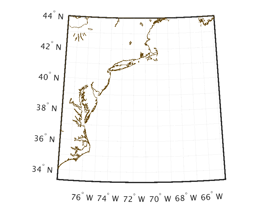
Surface


Surface


Accumulated over past hour


2 m above ground


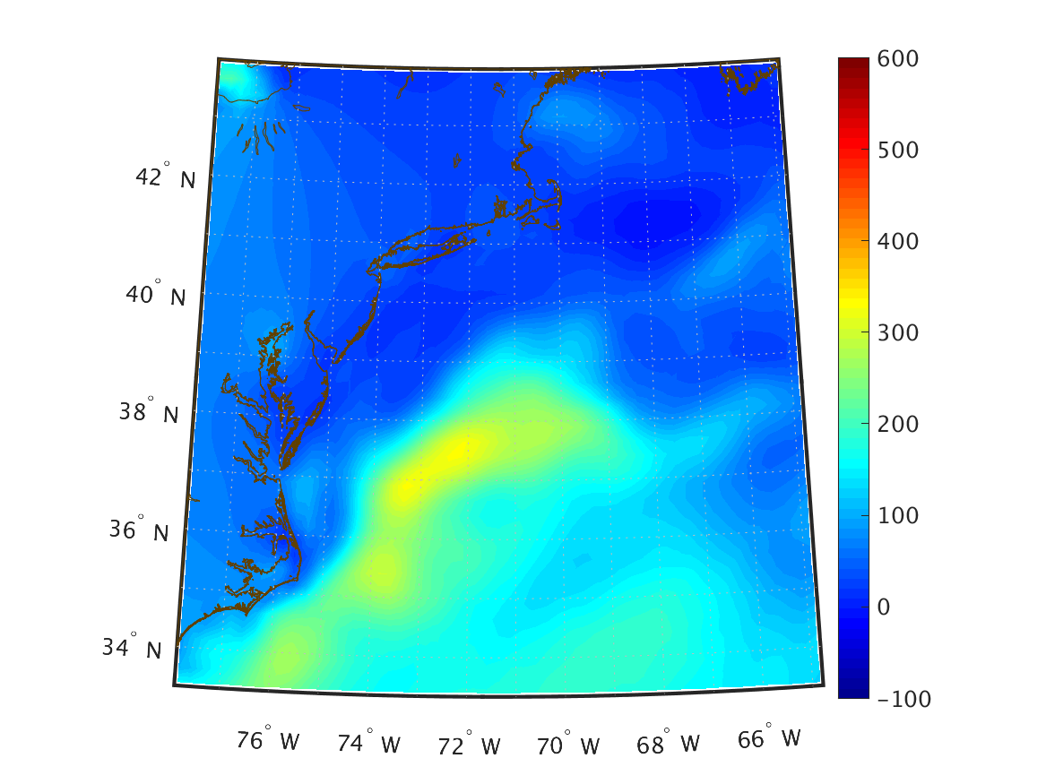
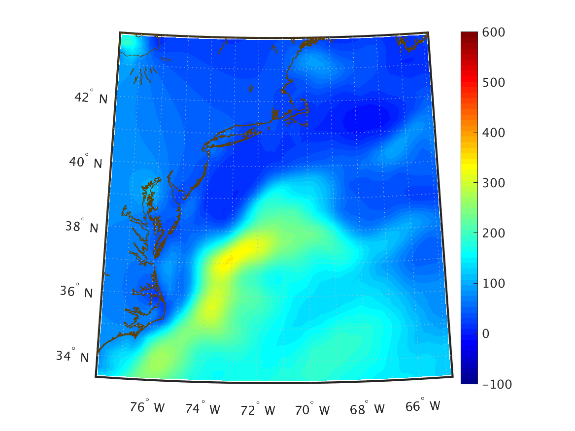
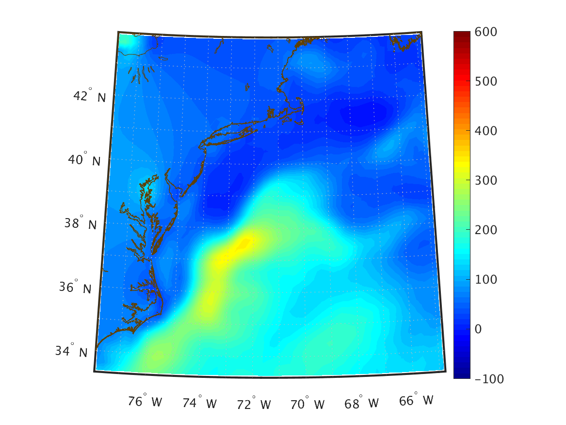
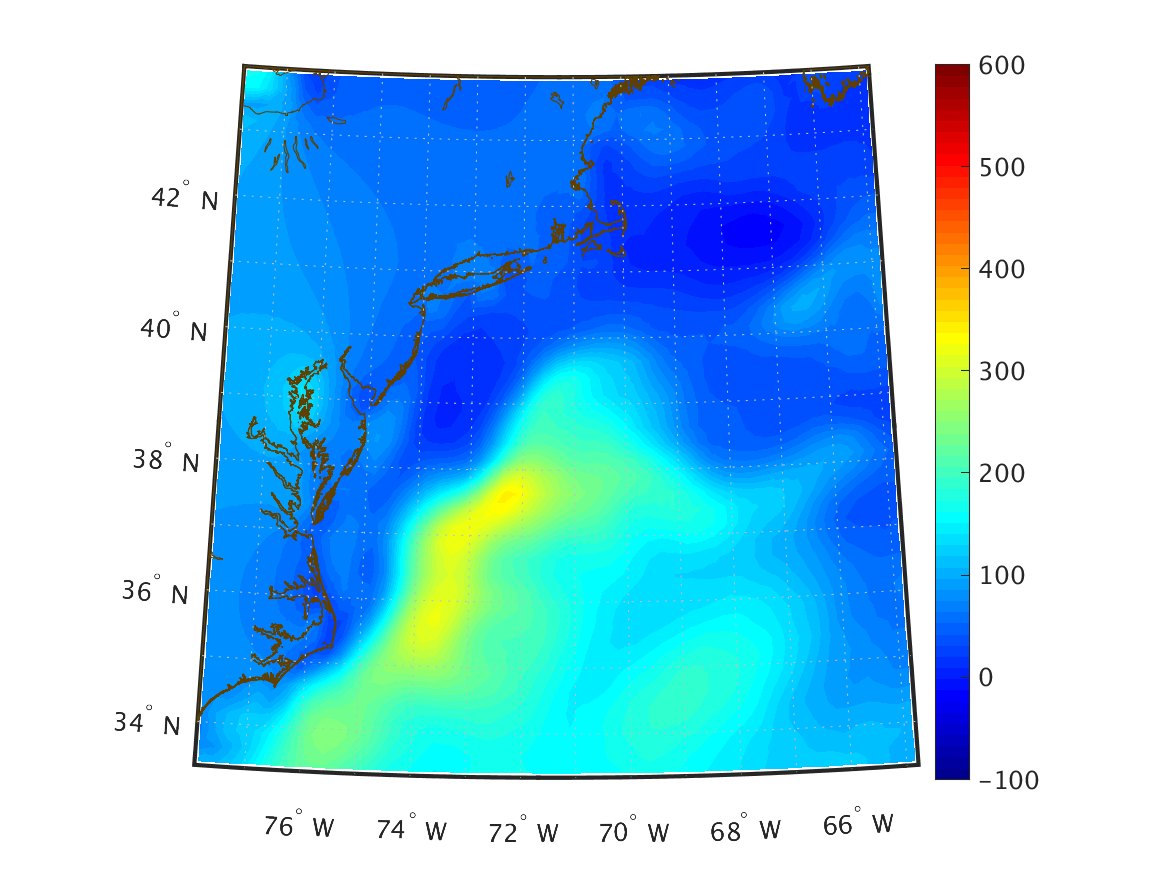
Mean Sea Level


2 m above ground


over the entire atmosphere


| Variable | 00Z Issue | 06Z Issue | 12Z Issue | 18Z Issue | ||||||||||||||||||||||||
|---|---|---|---|---|---|---|---|---|---|---|---|---|---|---|---|---|---|---|---|---|---|---|---|---|---|---|---|---|
| Nowcast – Aug 12 00Z | 1-hour forecast – Aug 12 01Z | 2-hour forecast – Aug 12 02Z | 3-hour forecast – Aug 12 03Z | 4-hour forecast – Aug 12 04Z | 5-hour forecast – Aug 12 05Z | 6-hour forecast – Aug 12 06Z | Nowcast – Aug 12 06Z | 1-hour forecast – Aug 12 07Z | 2-hour forecast – Aug 12 08Z | 3-hour forecast – Aug 12 09Z | 4-hour forecast – Aug 12 10Z | 5-hour forecast – Aug 12 11Z | 6-hour forecast – Aug 12 12Z | Nowcast – Aug 12 12Z | 1-hour forecast – Aug 12 13Z | 2-hour forecast – Aug 12 14Z | 3-hour forecast – Aug 12 15Z | 4-hour forecast – Aug 12 16Z | 5-hour forecast – Aug 12 17Z | 6-hour forecast – Aug 12 18Z | Nowcast – Aug 12 18Z | 1-hour forecast – Aug 12 19Z | 2-hour forecast – Aug 12 20Z | 3-hour forecast – Aug 12 21Z | 4-hour forecast – Aug 12 22Z | 5-hour forecast – Aug 12 23Z | 6-hour forecast – Aug 13 00Z | |
| Zonal wind velocity (m/s) 10 m above ground |
|
|
|
|
|
|
|
|
|
|
|
|
|
|
|
|
|
|
|
|
|
|
|
|
|
|
|
|
| Meridional wind velocity (m/s) 10 m above ground |
|
|
|
|
|
|
|
|
|
|
|
|
|
|
|
|
|
|
|
|
|
|
|
|
|
|
|
|
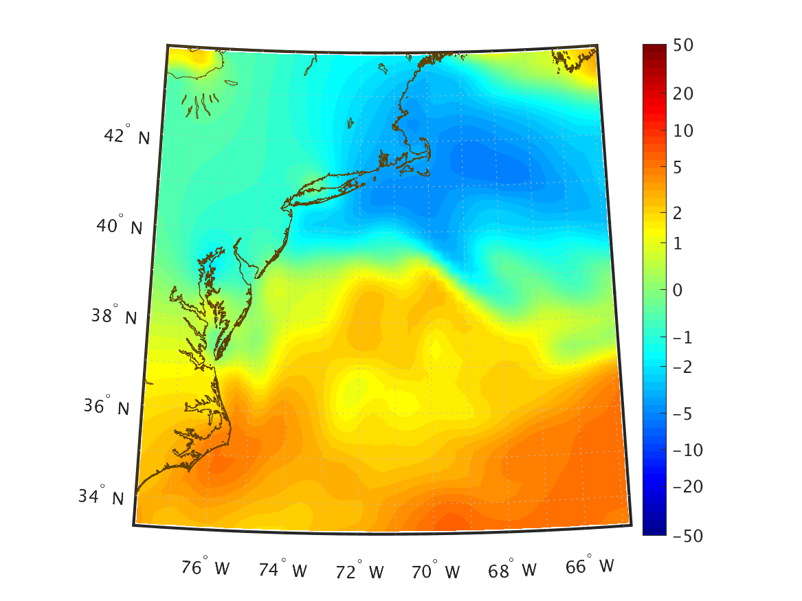
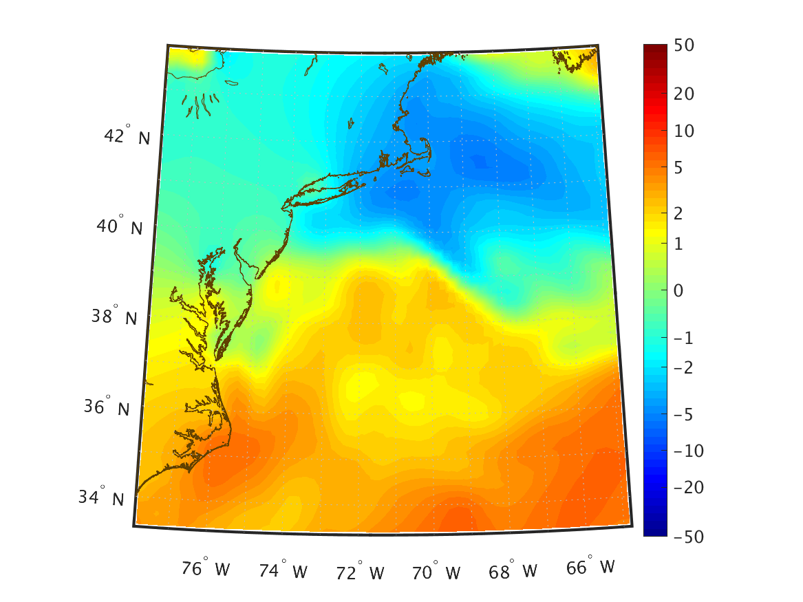
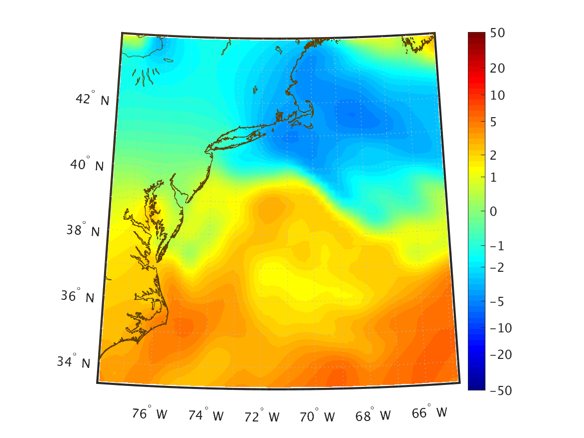
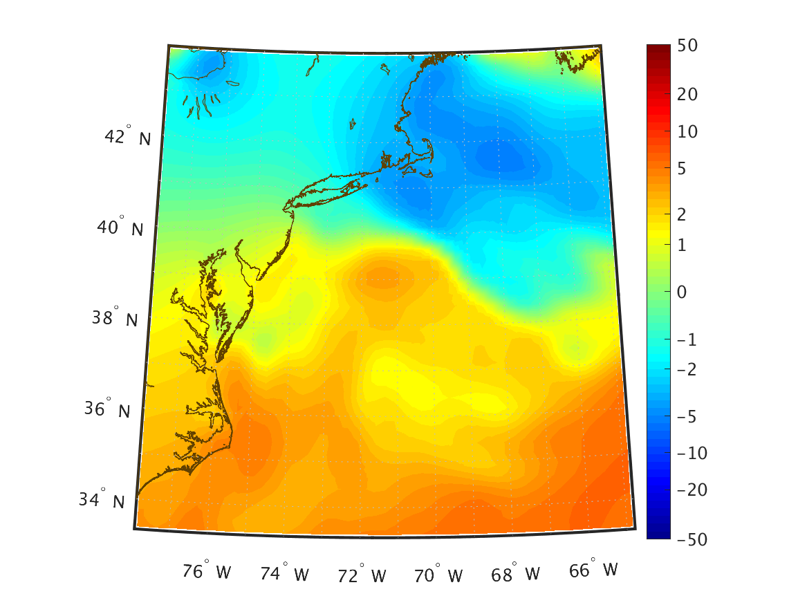
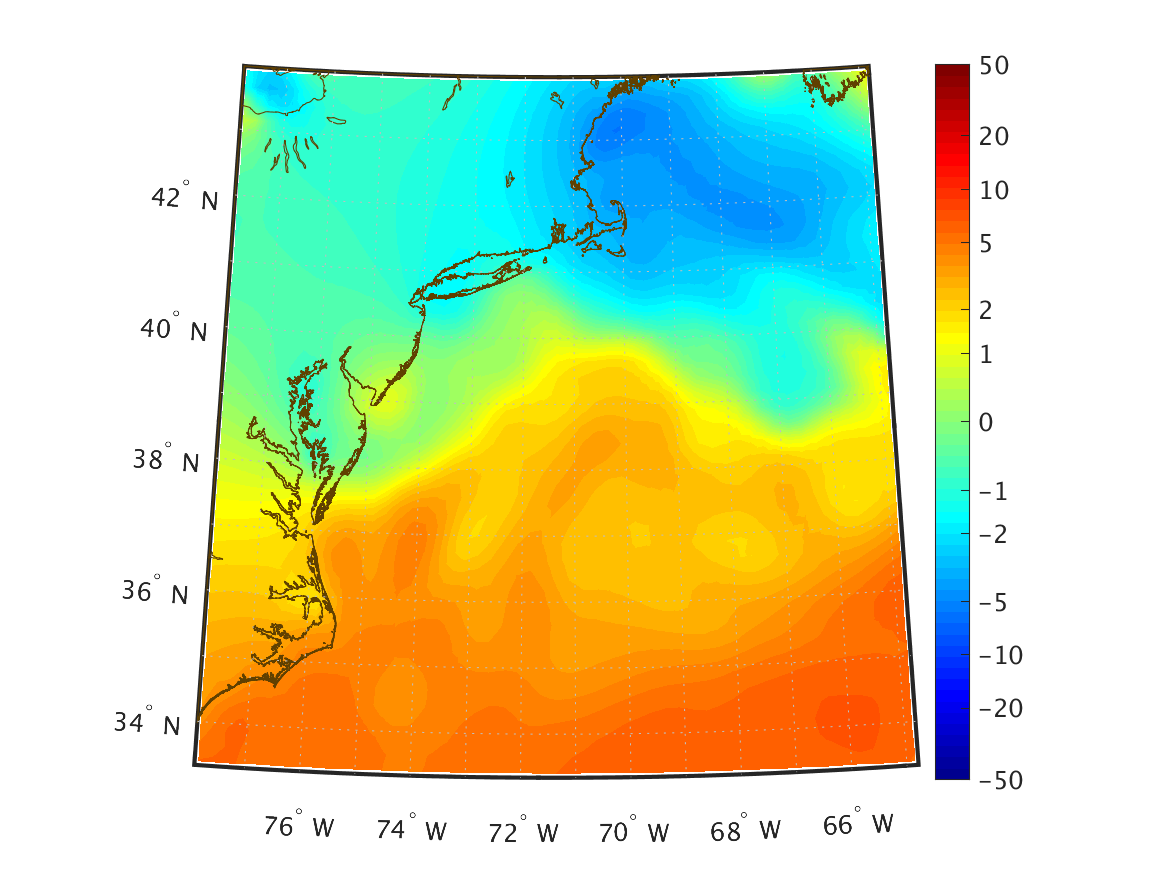
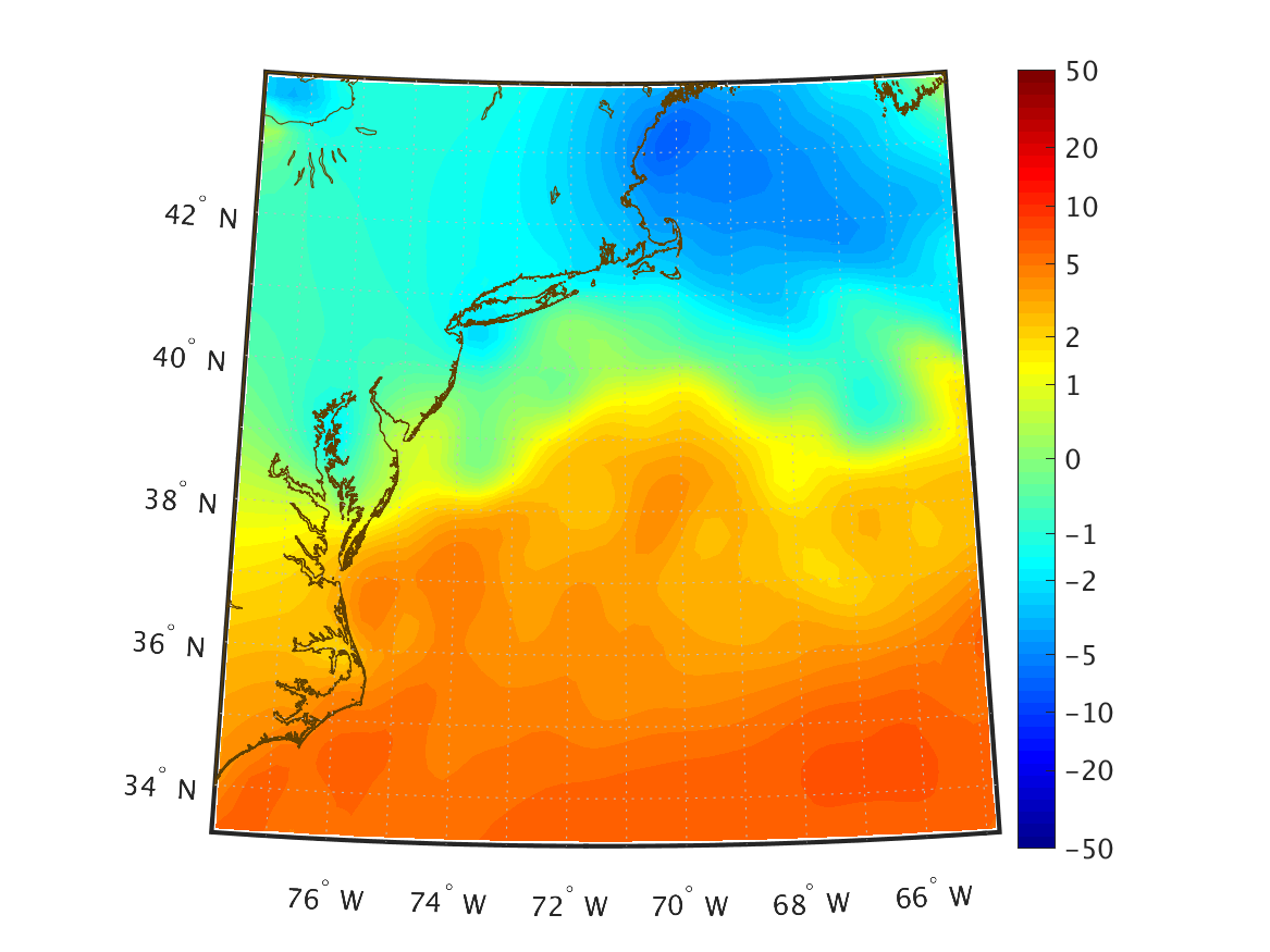
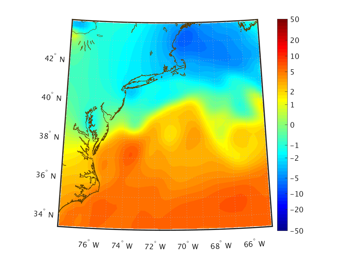
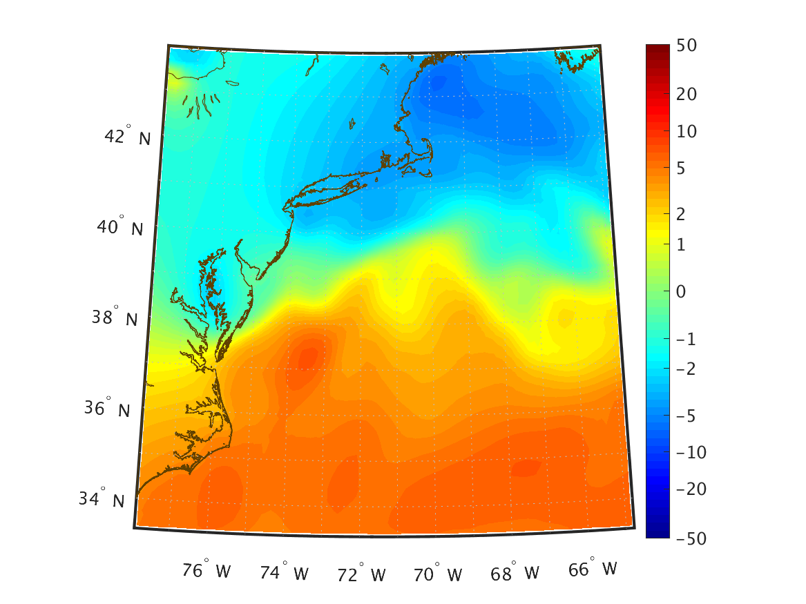
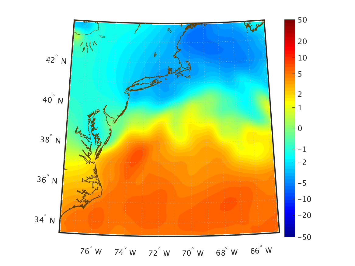
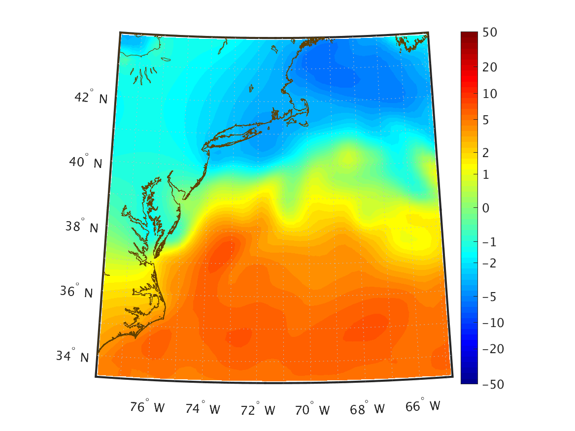
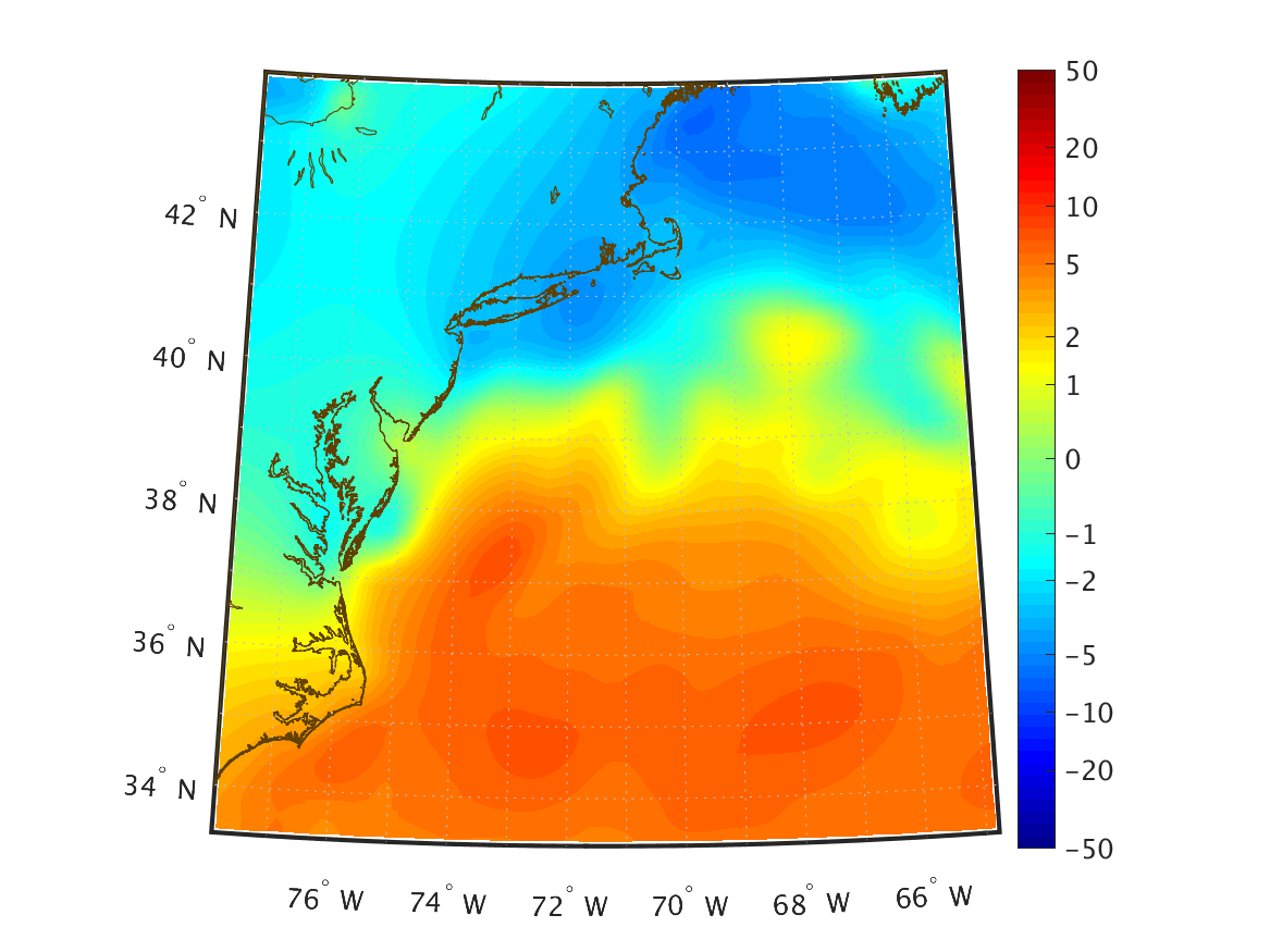
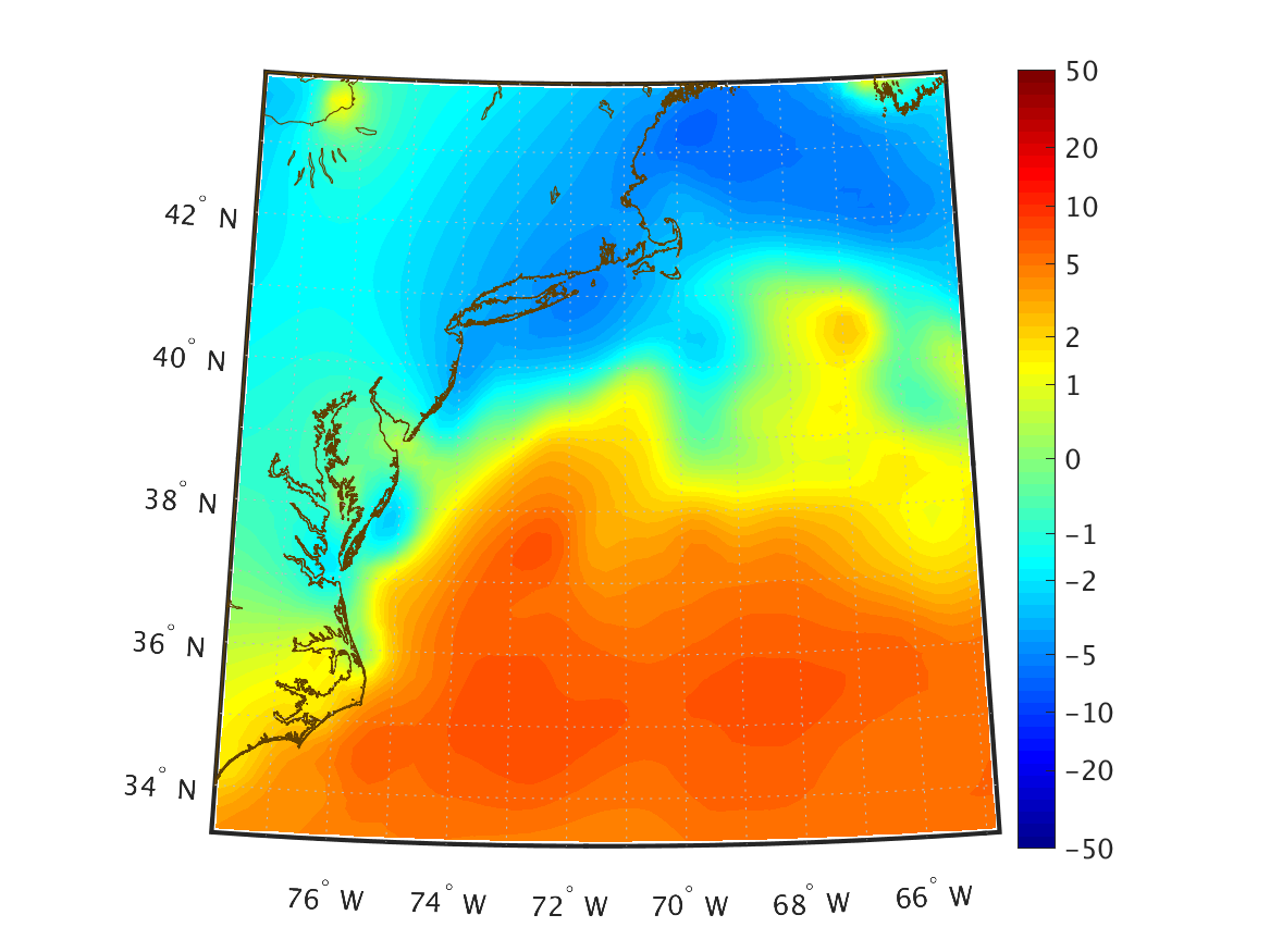
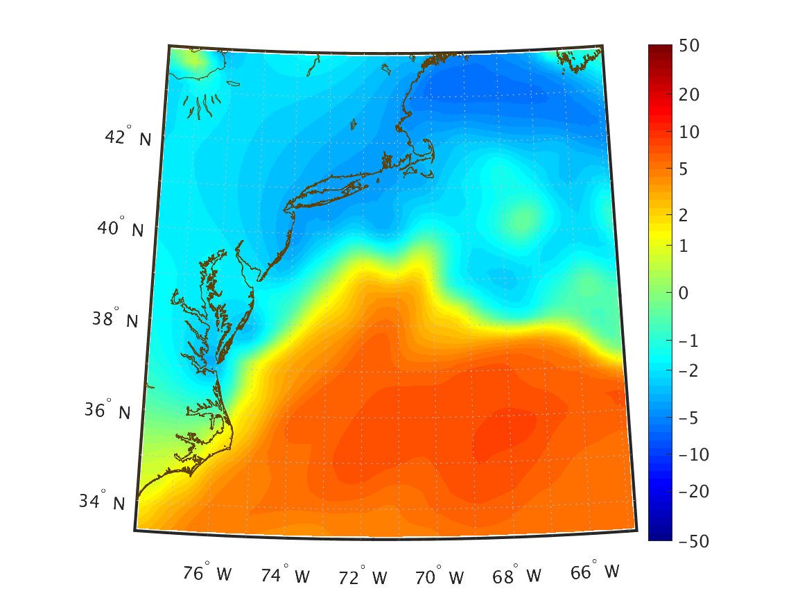
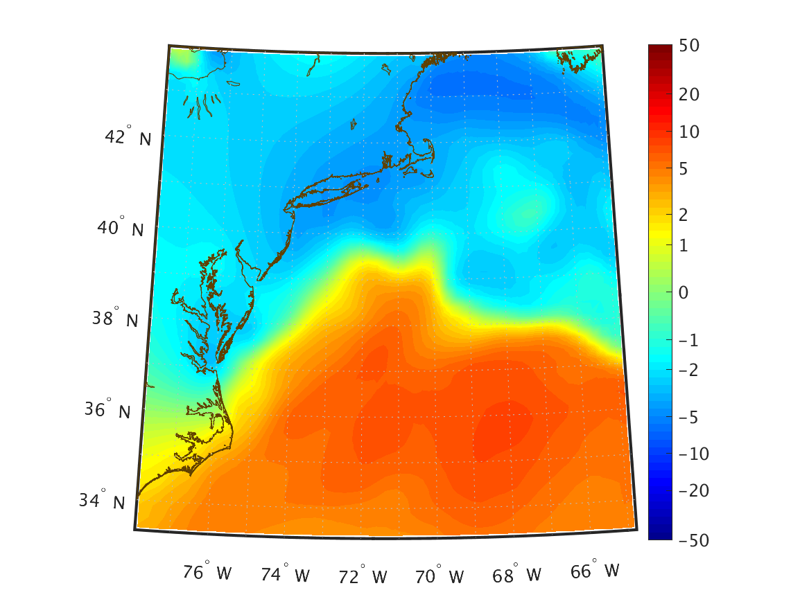
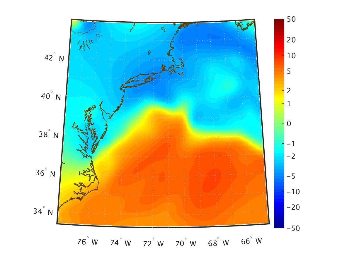
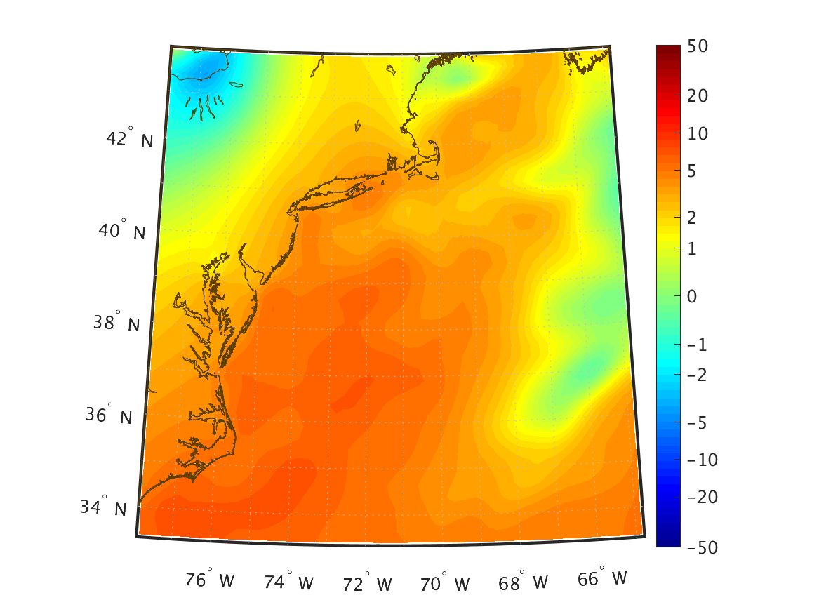
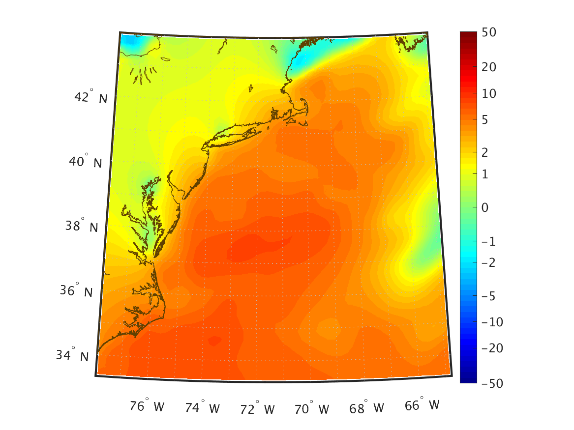
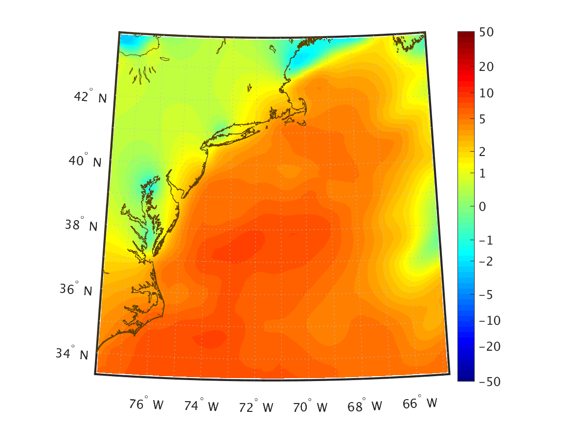
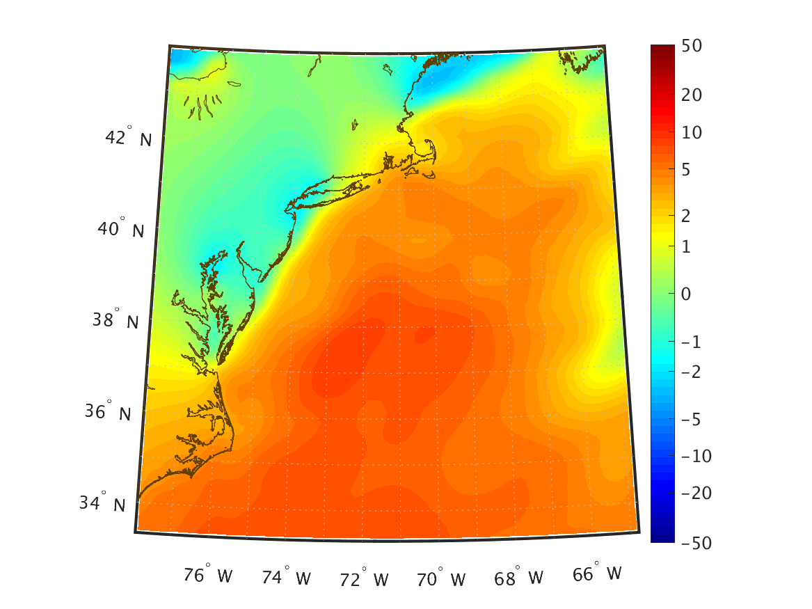
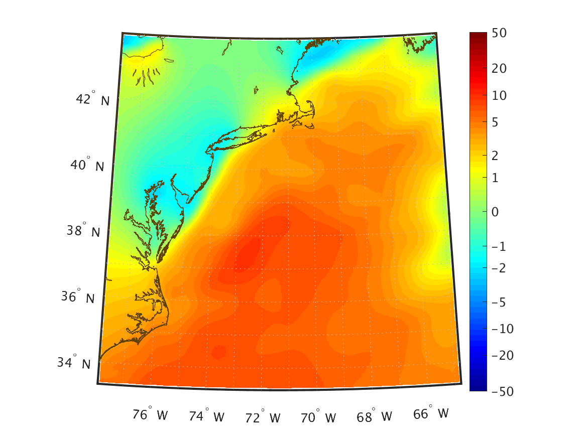
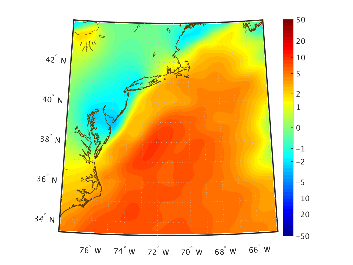
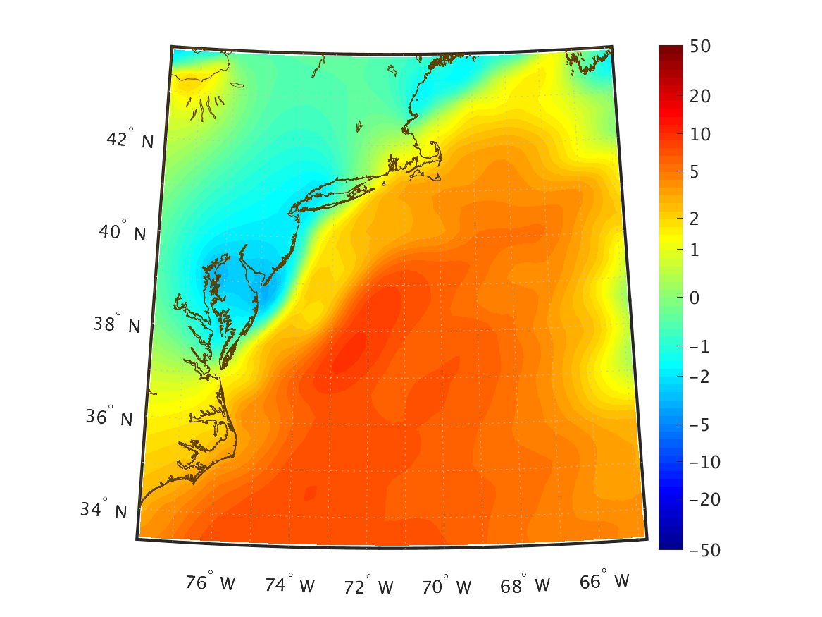
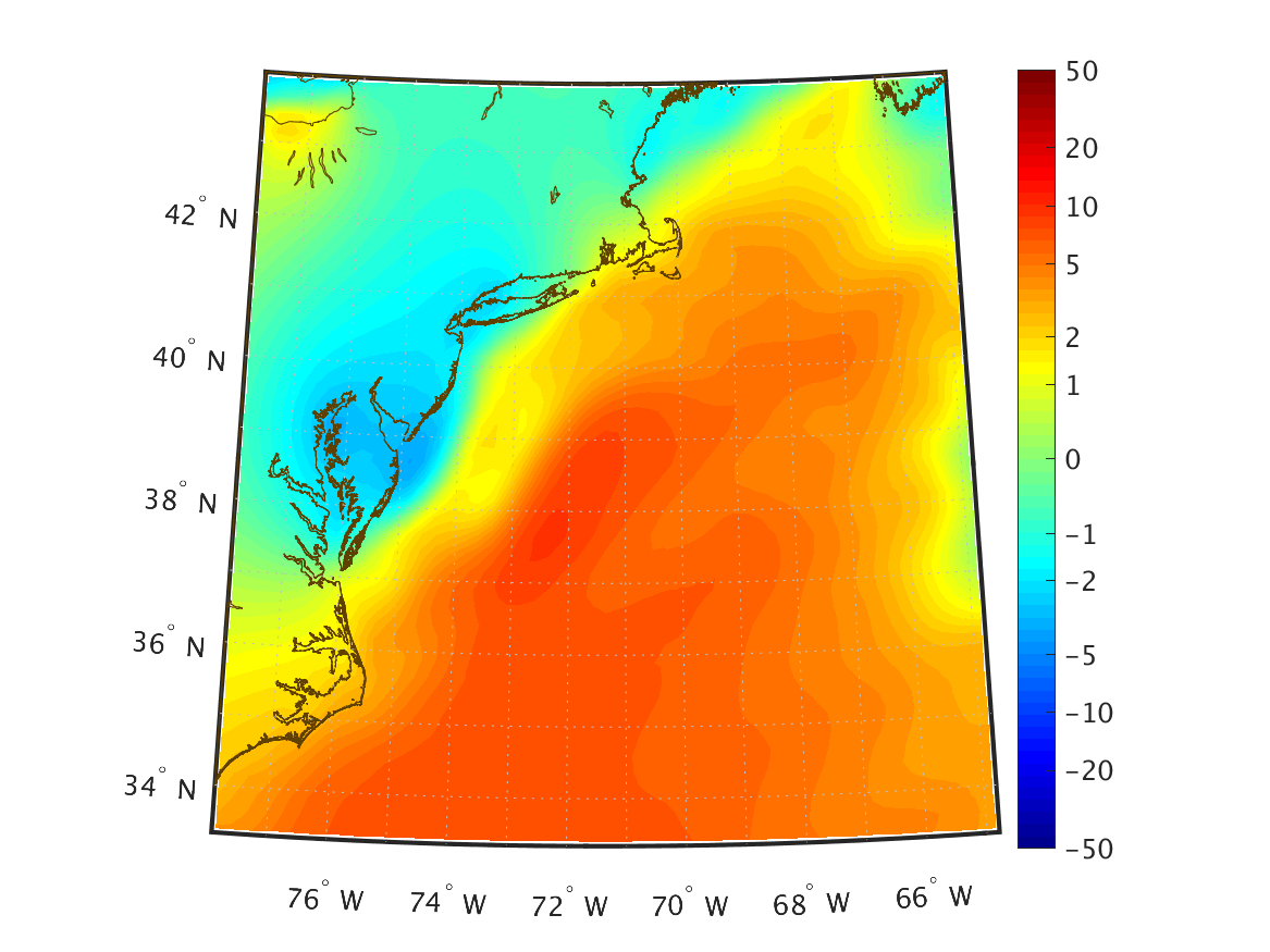
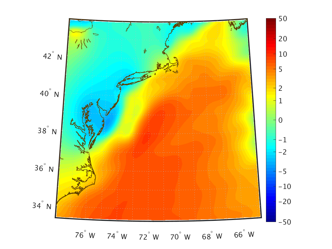
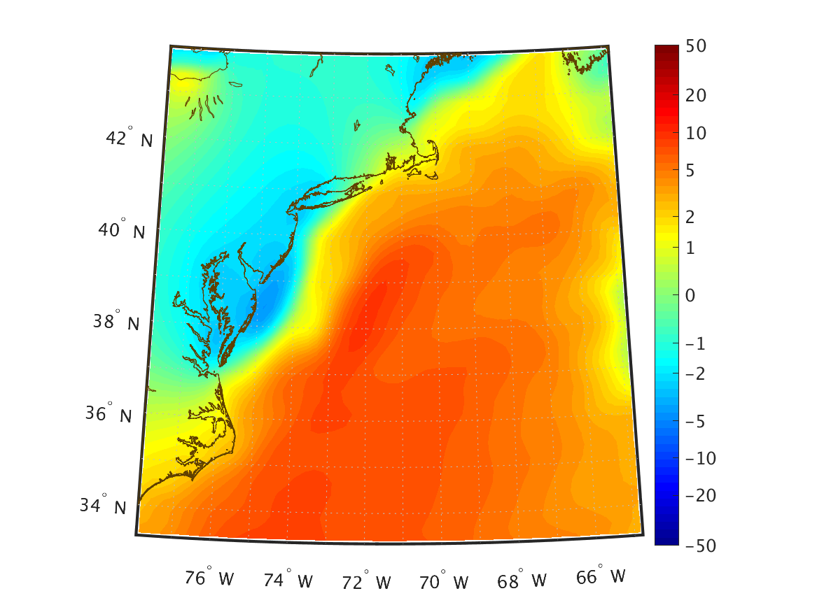
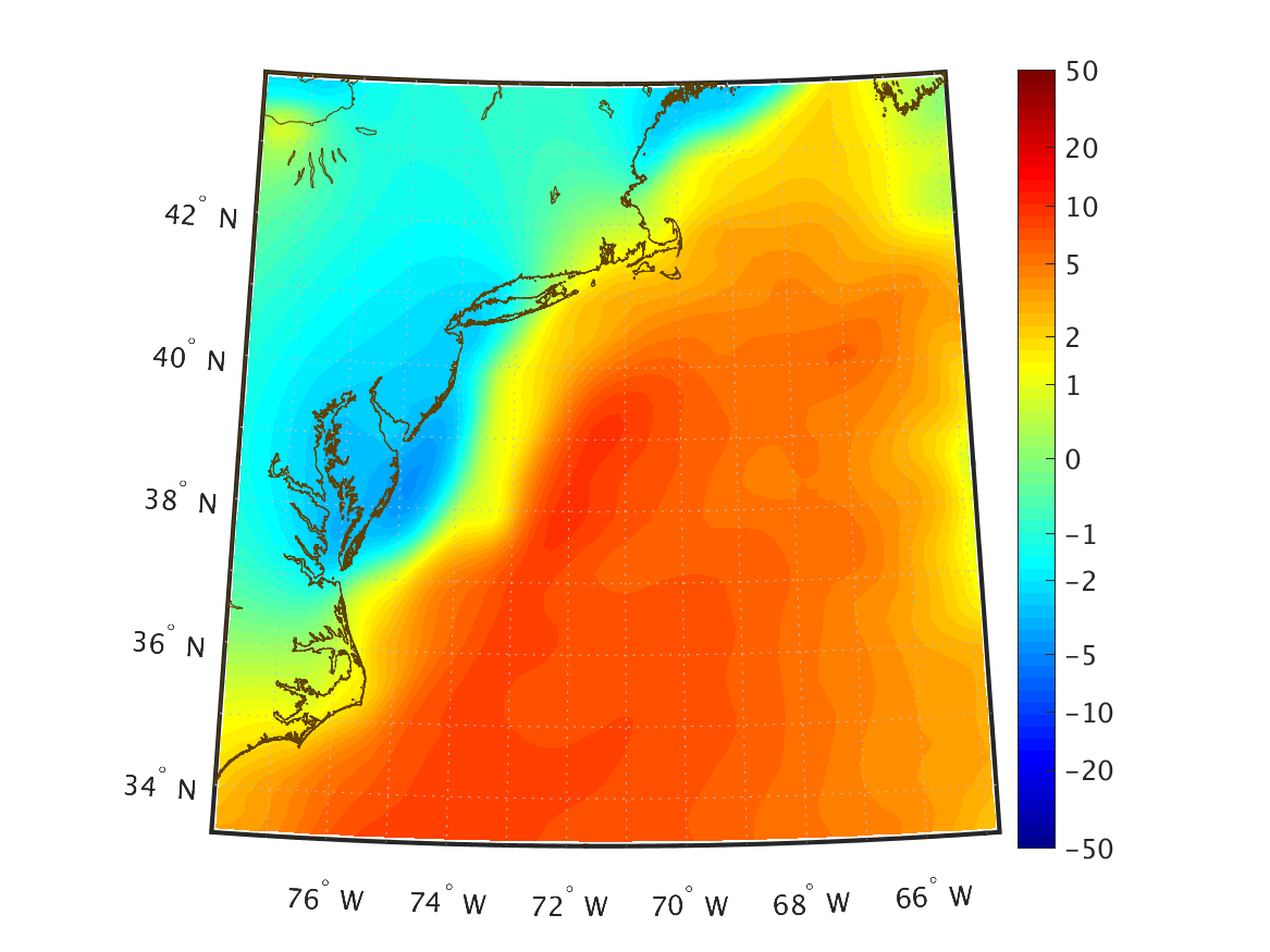
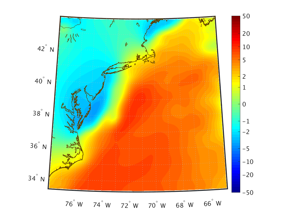
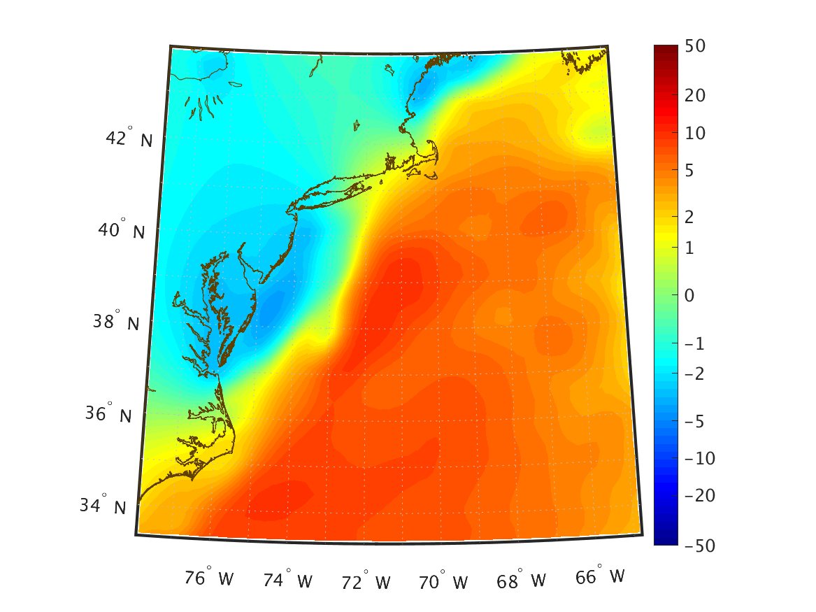
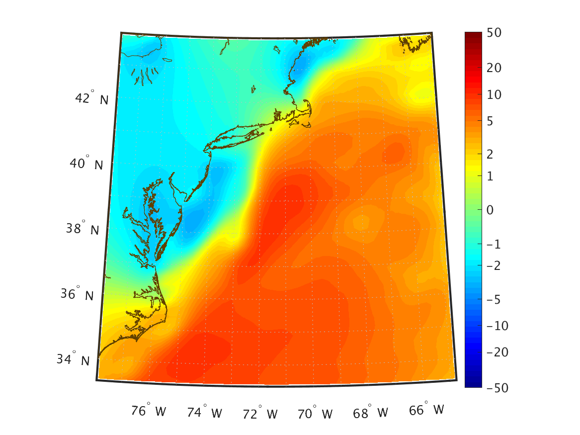
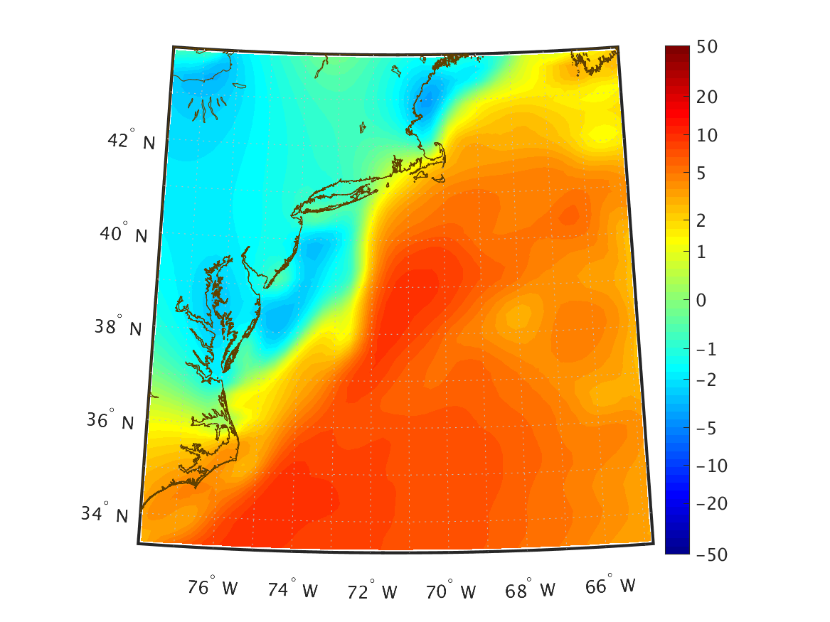
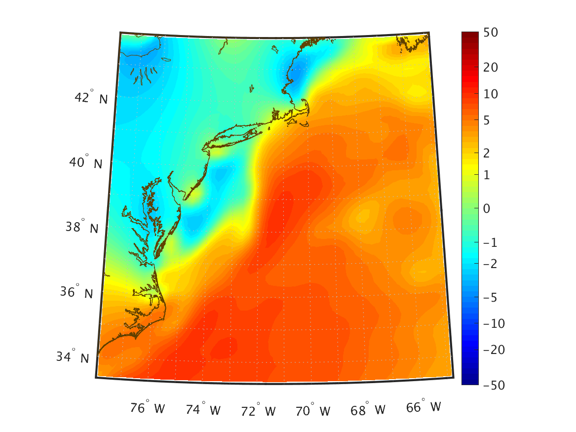
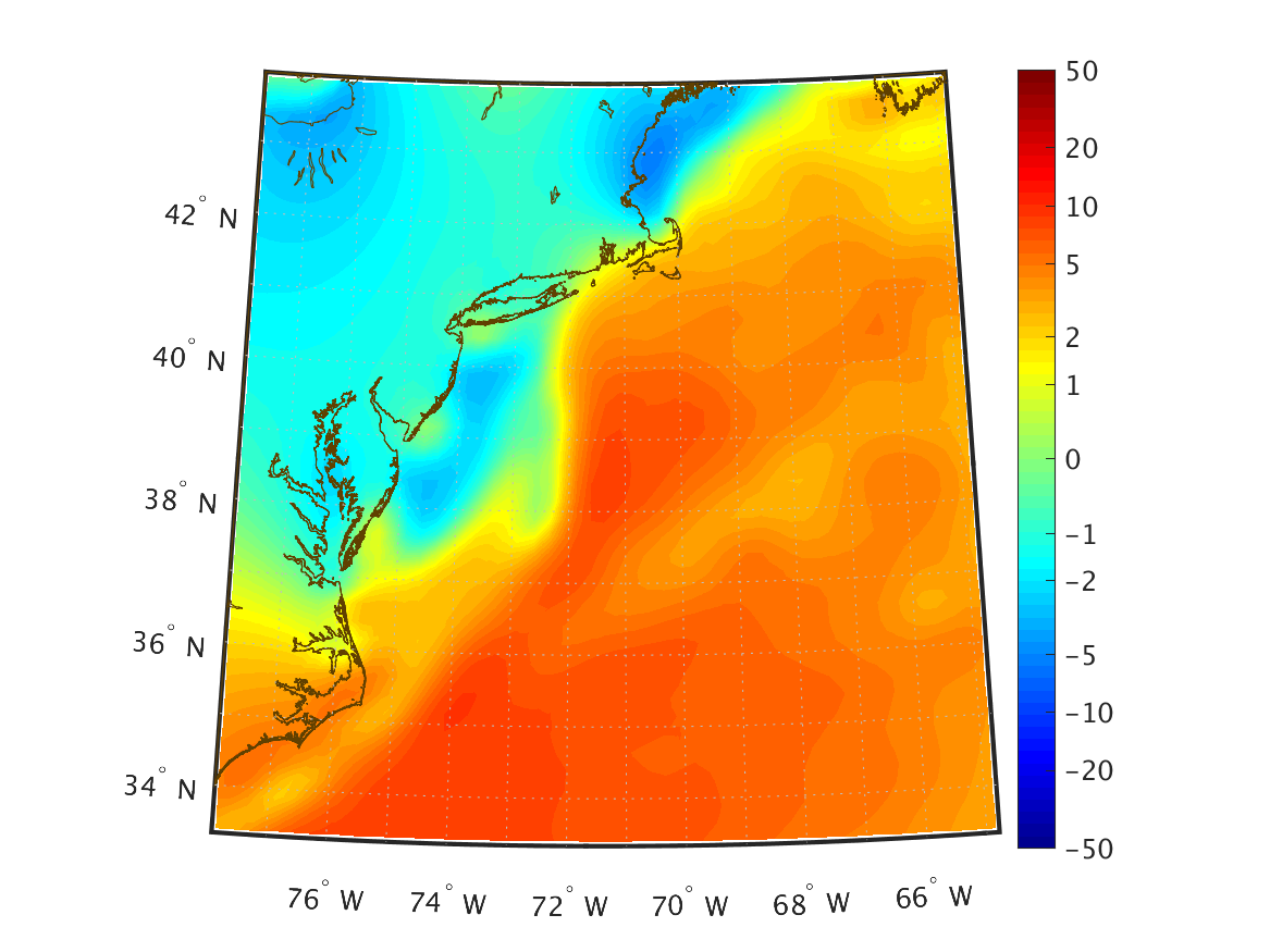
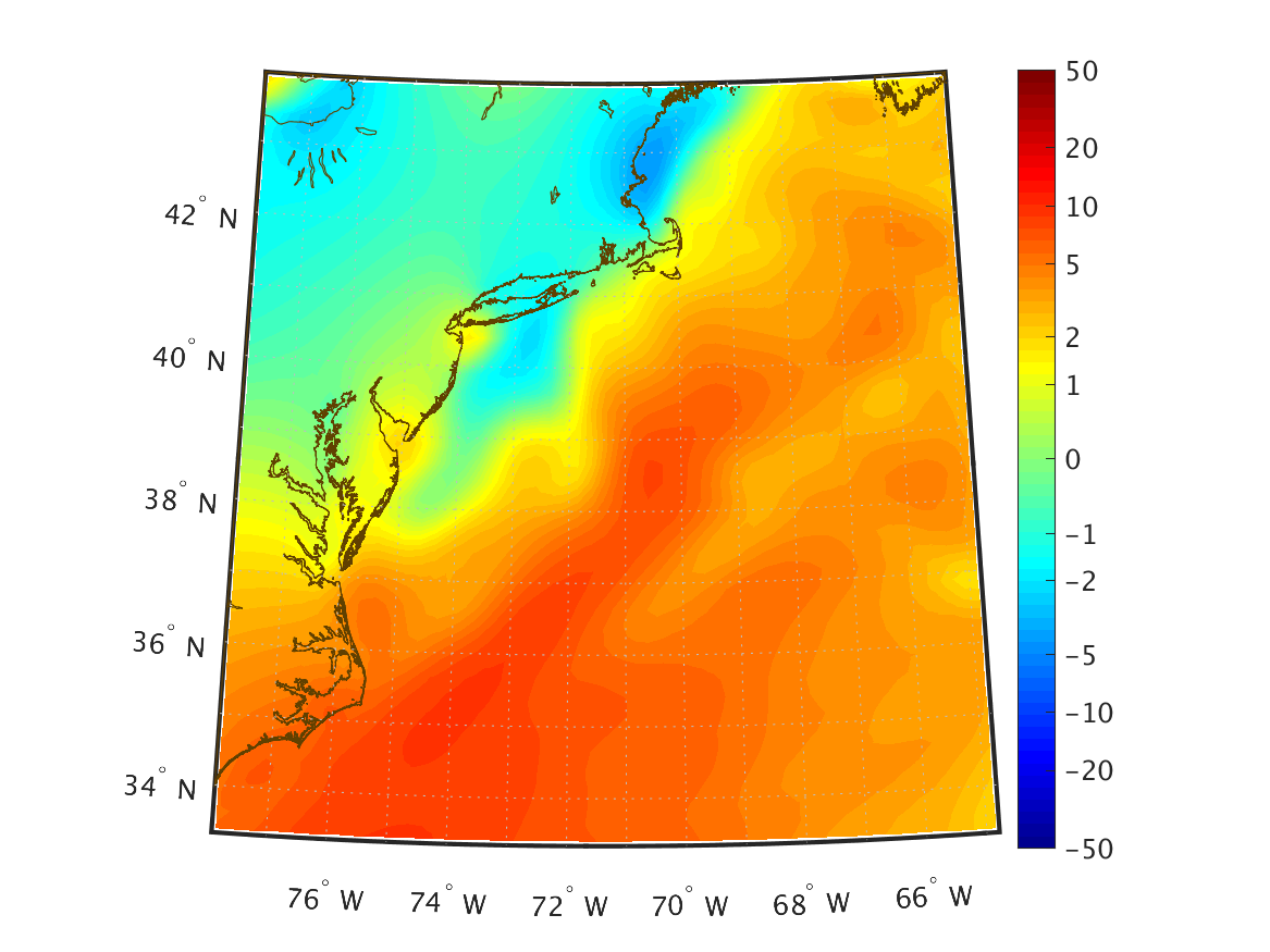
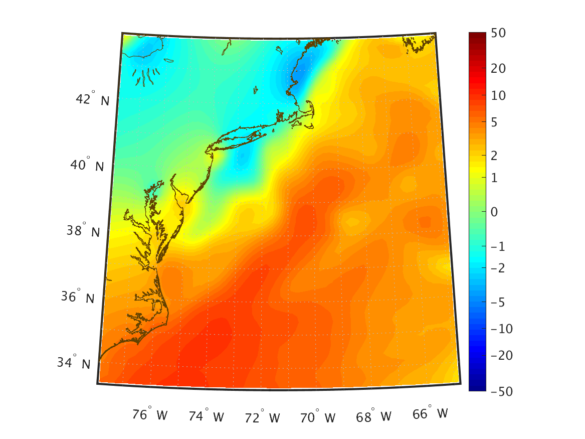
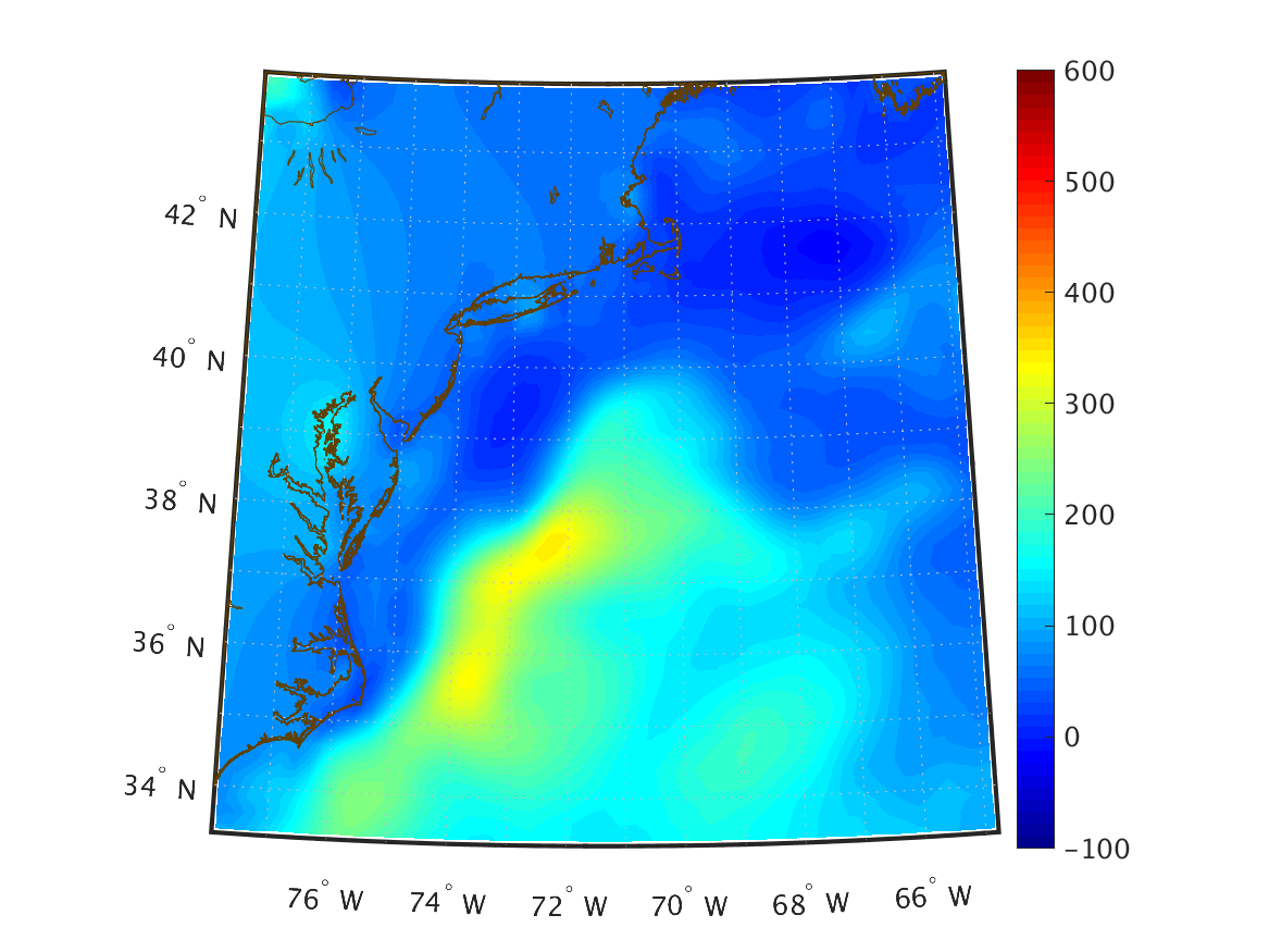
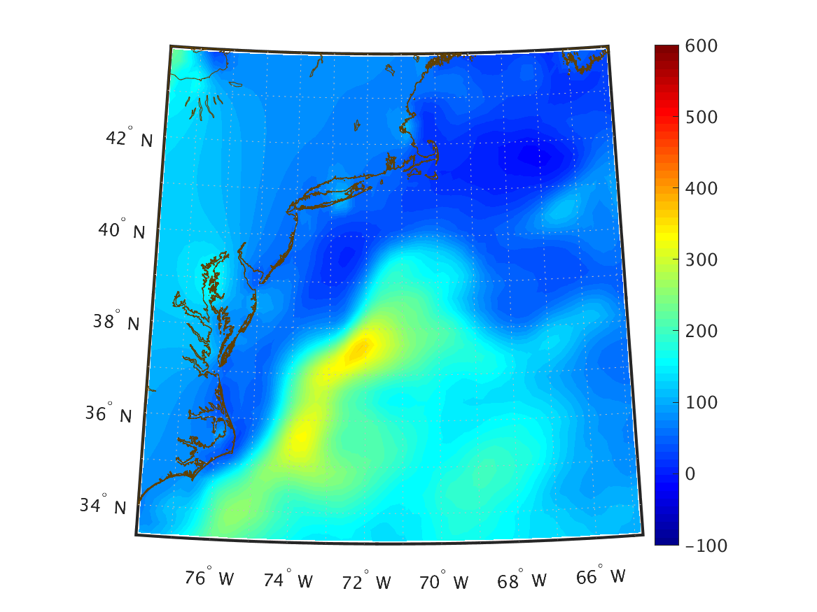
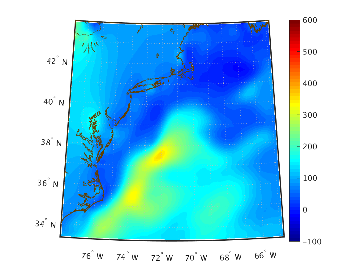
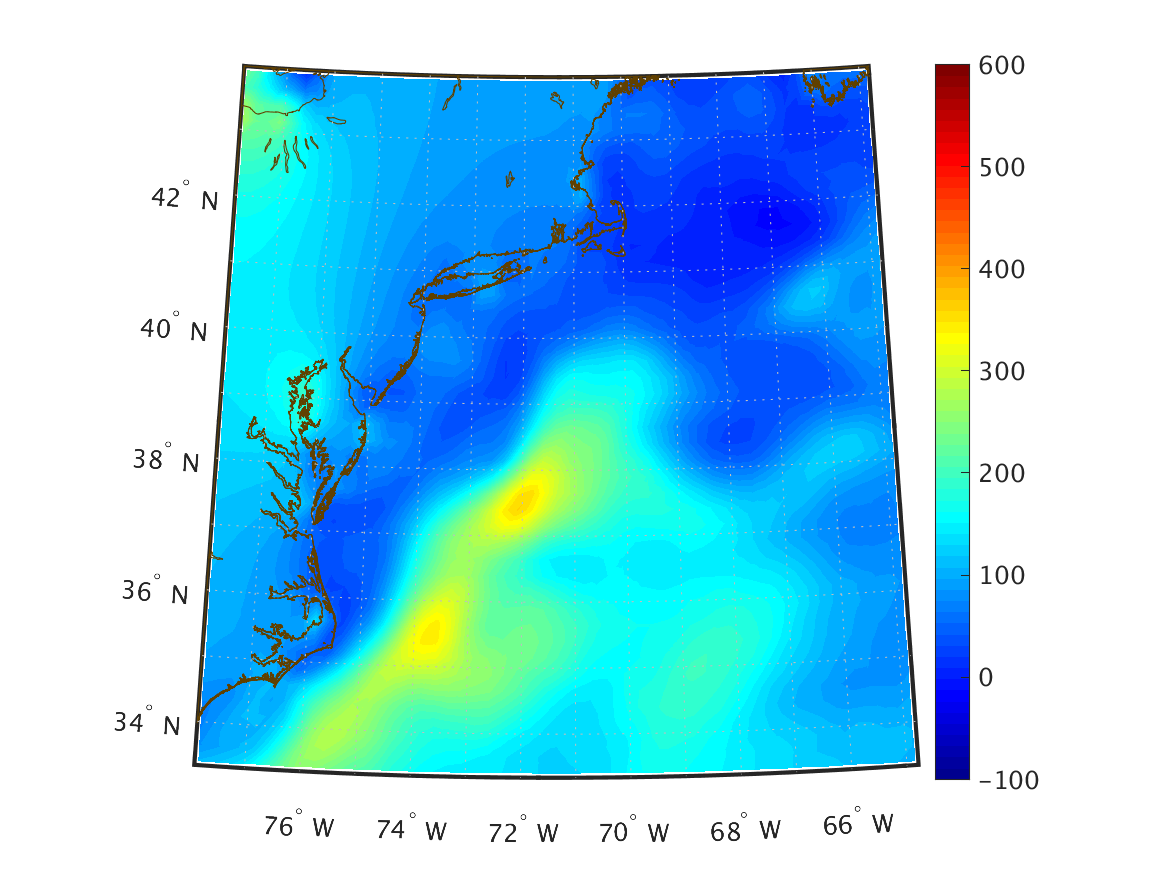
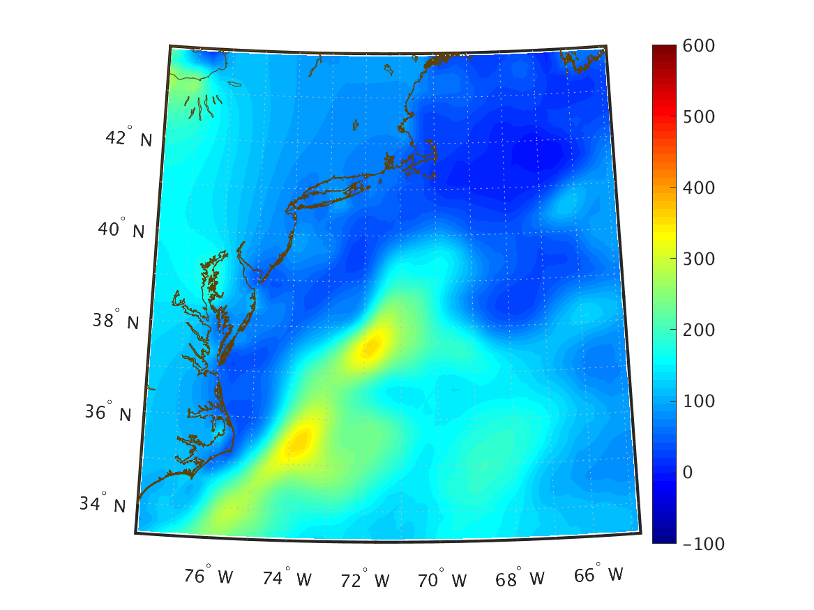
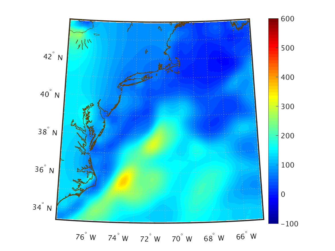
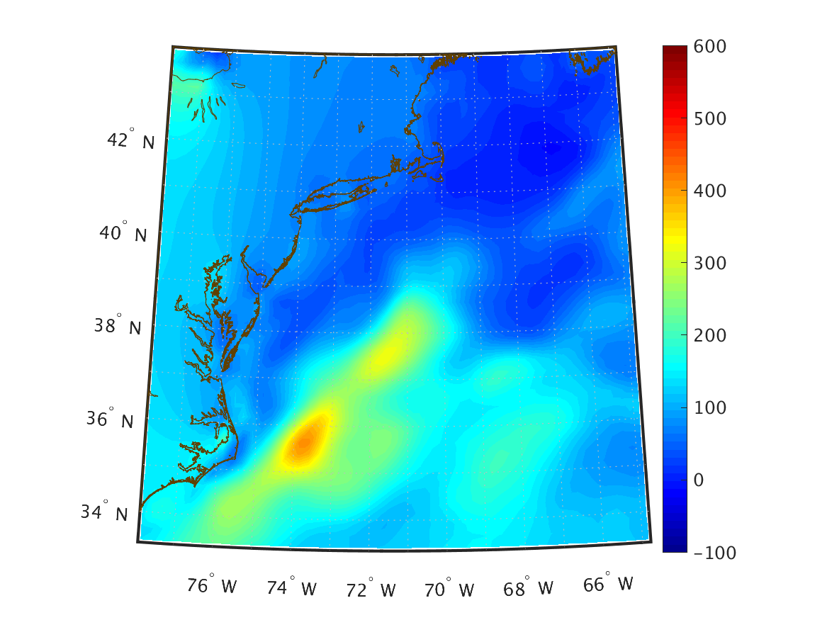
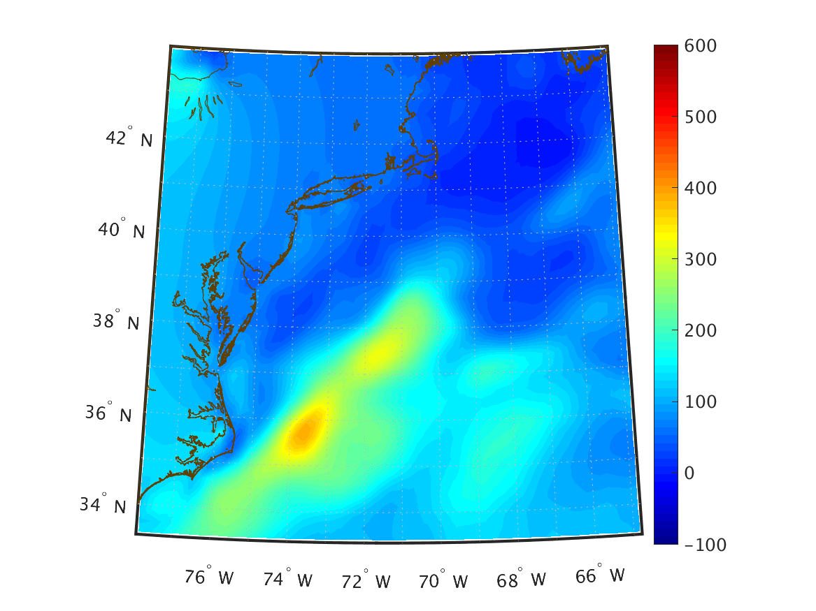
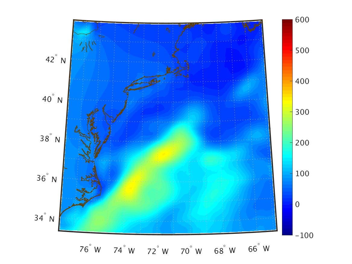
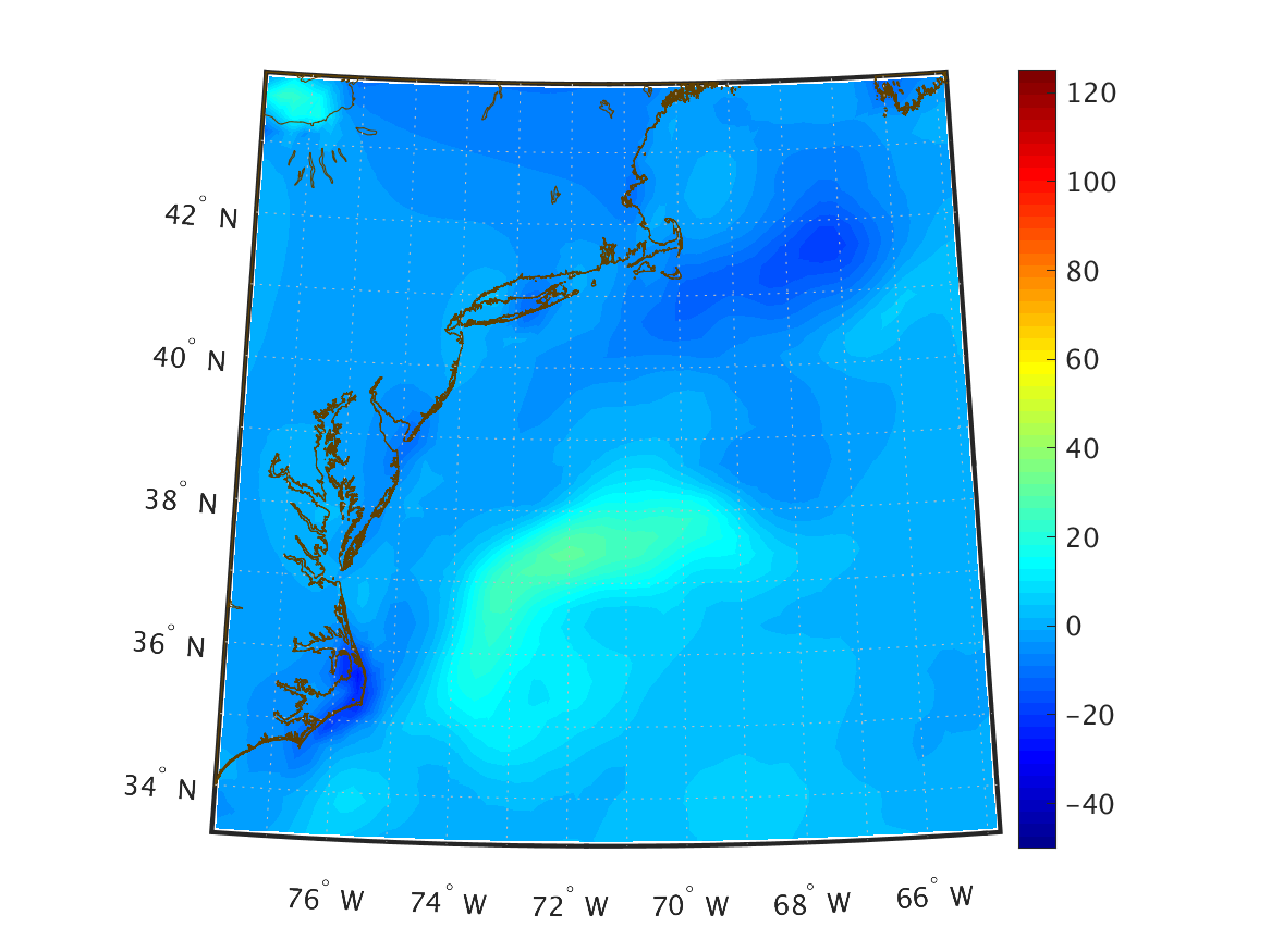
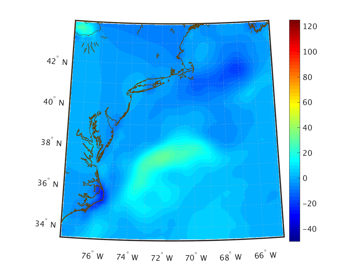
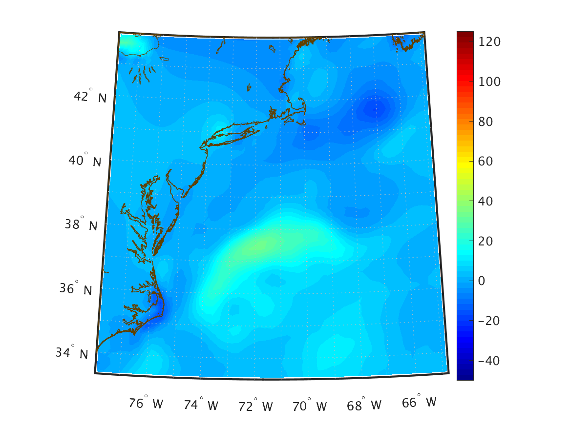
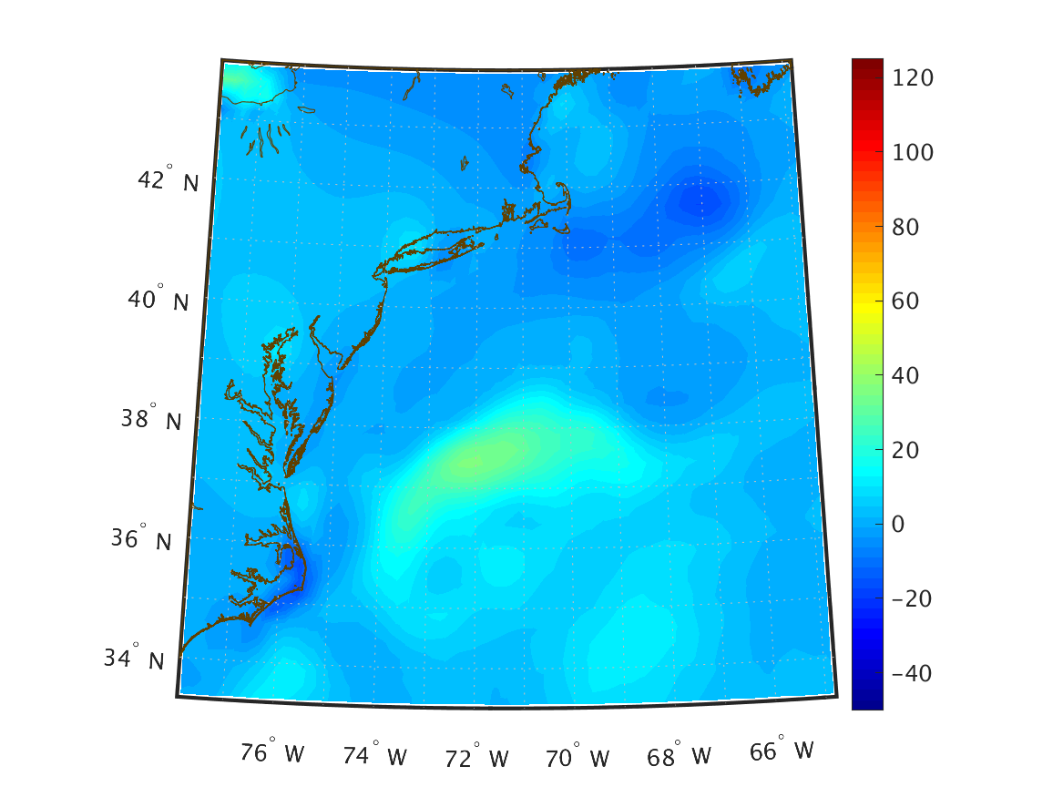
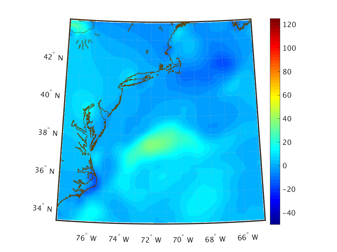
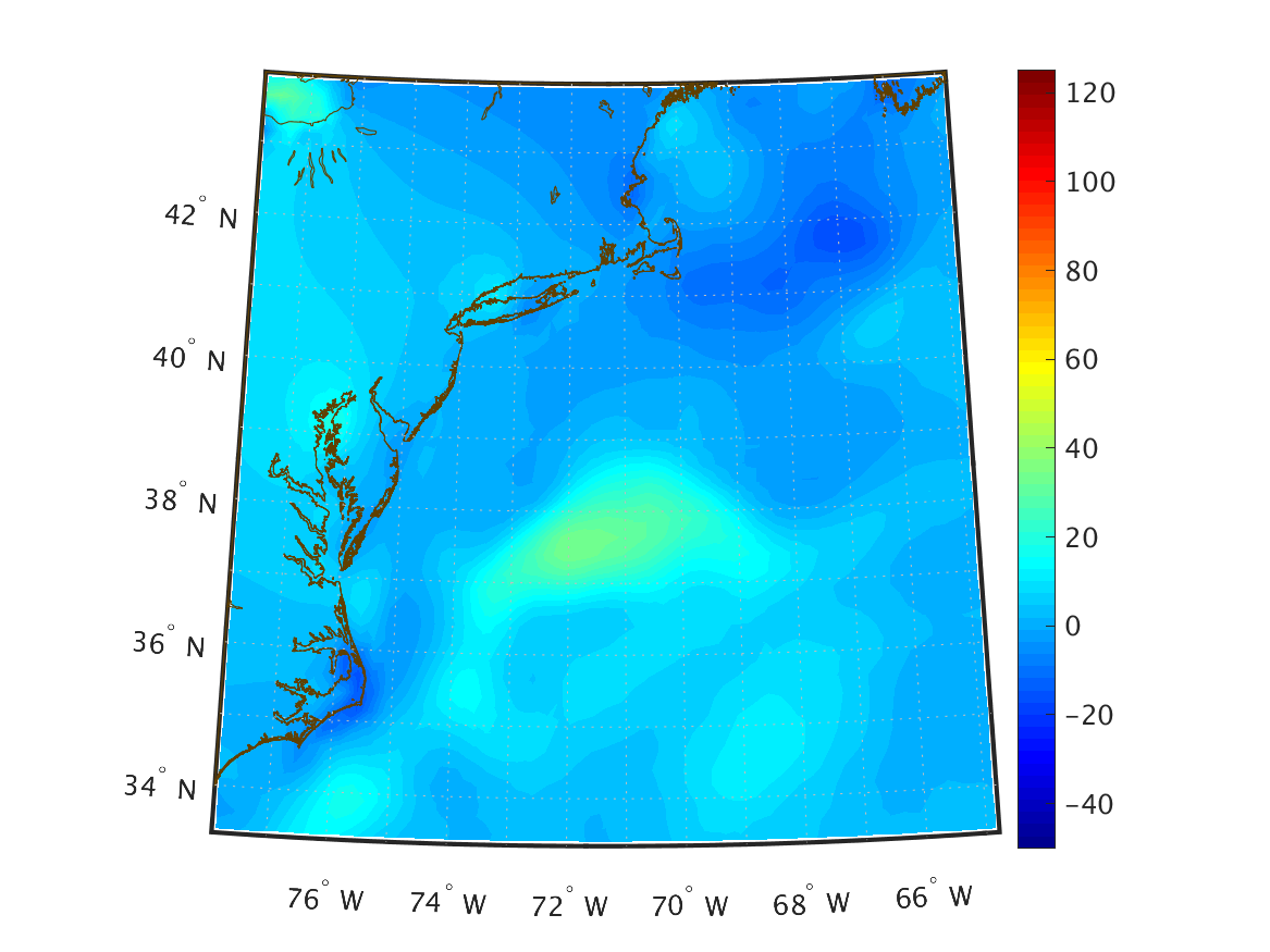
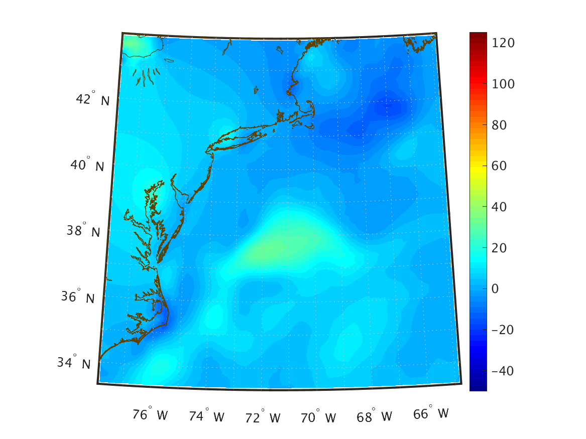
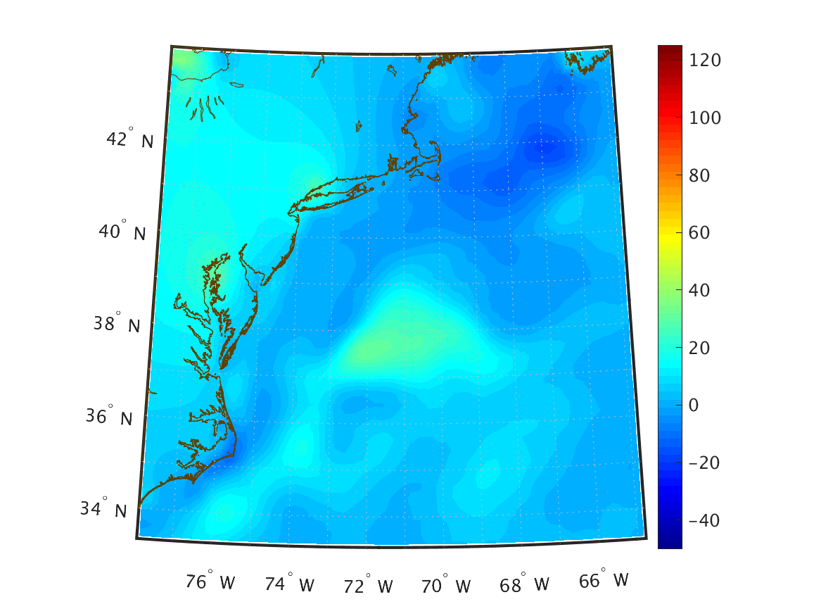
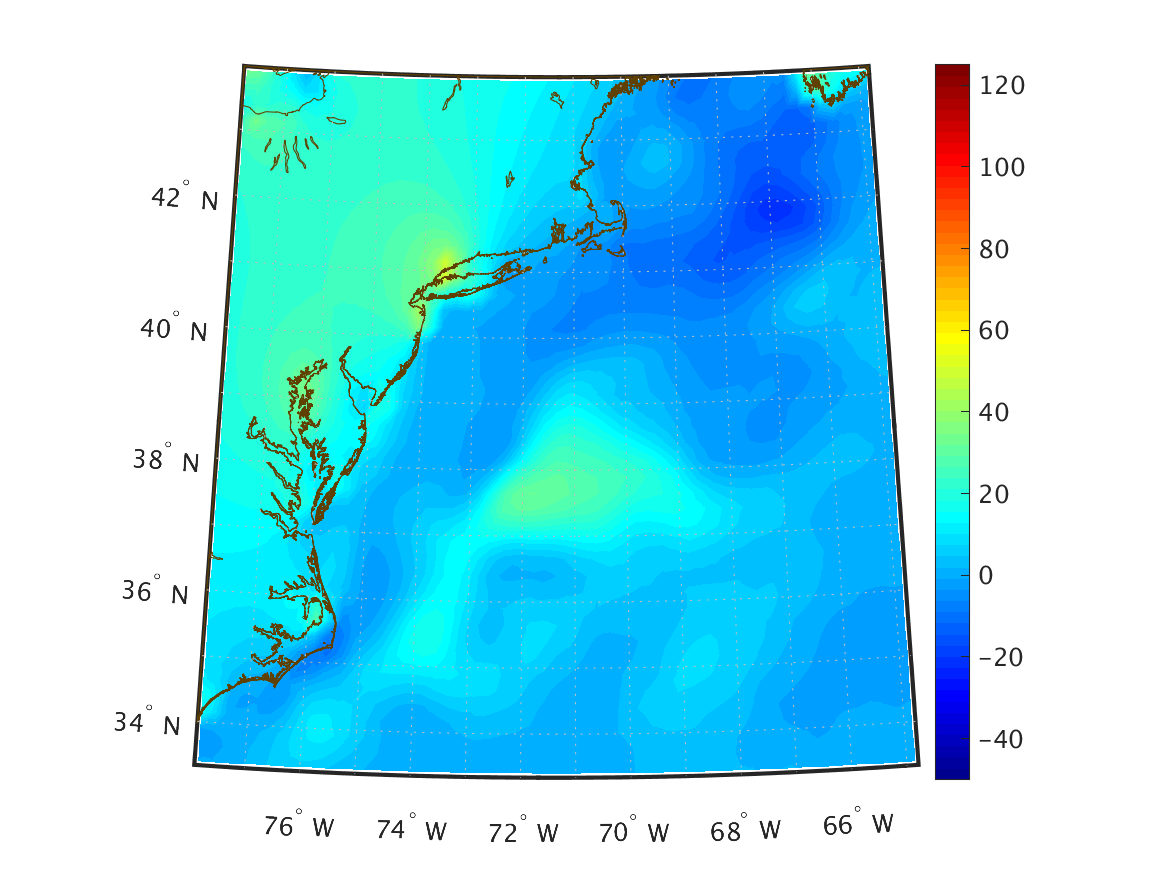
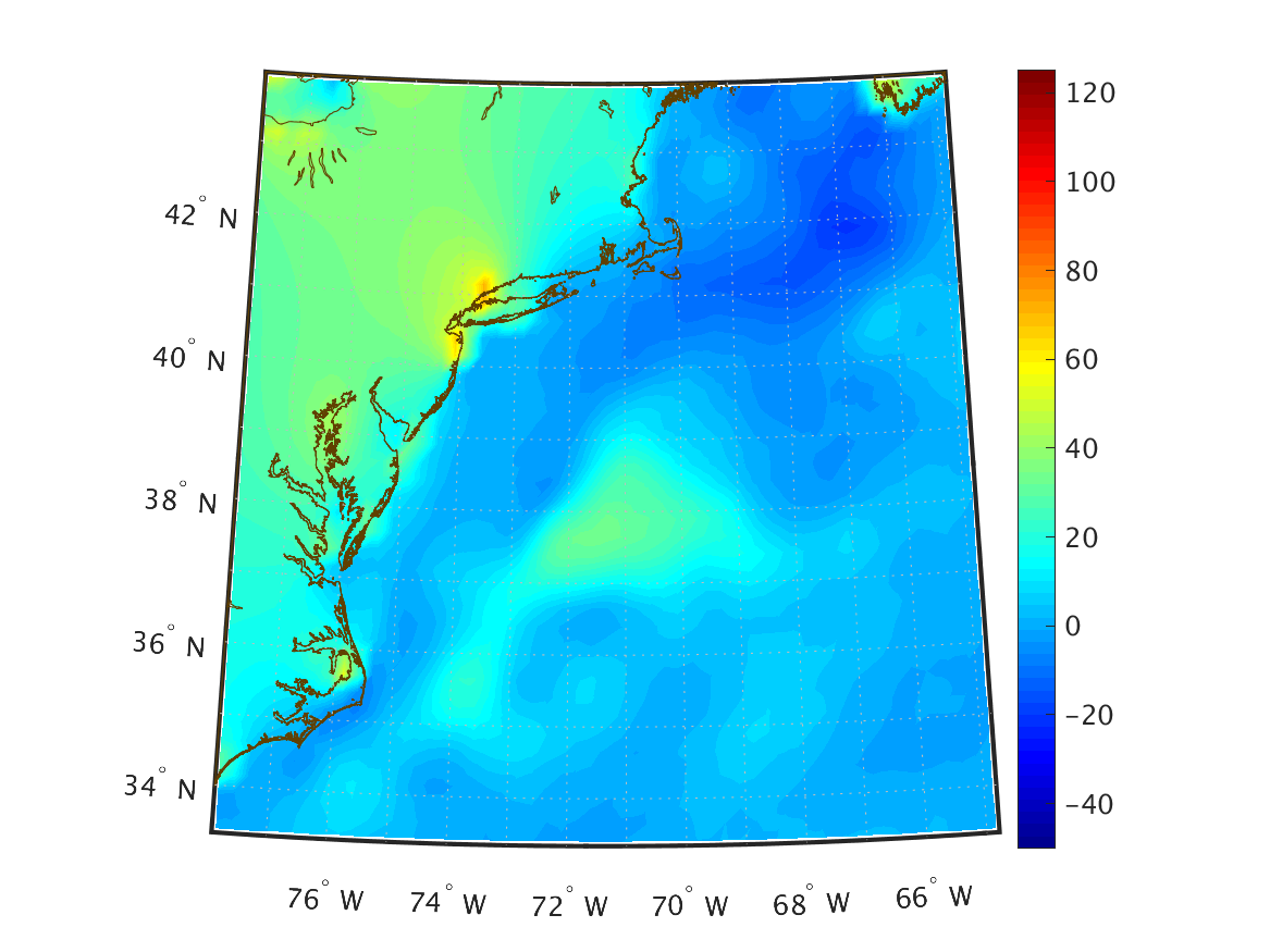
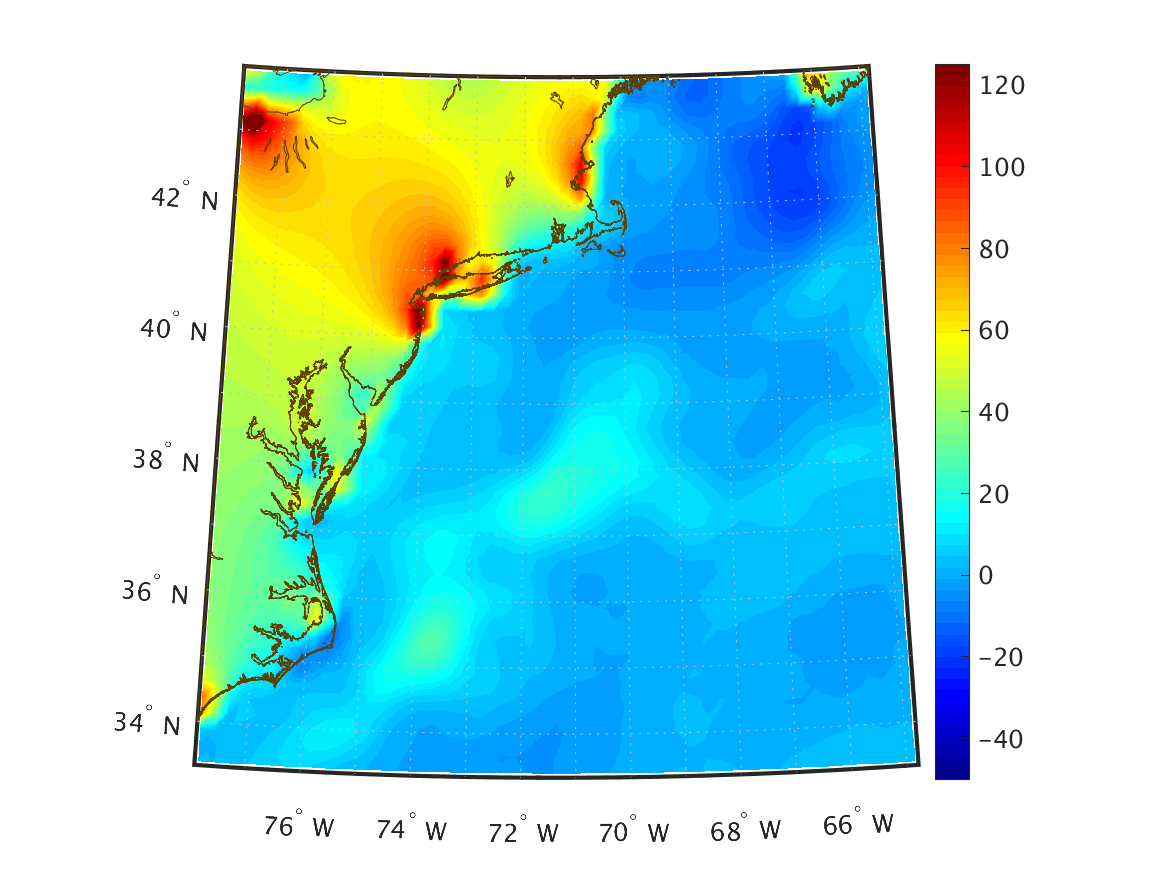
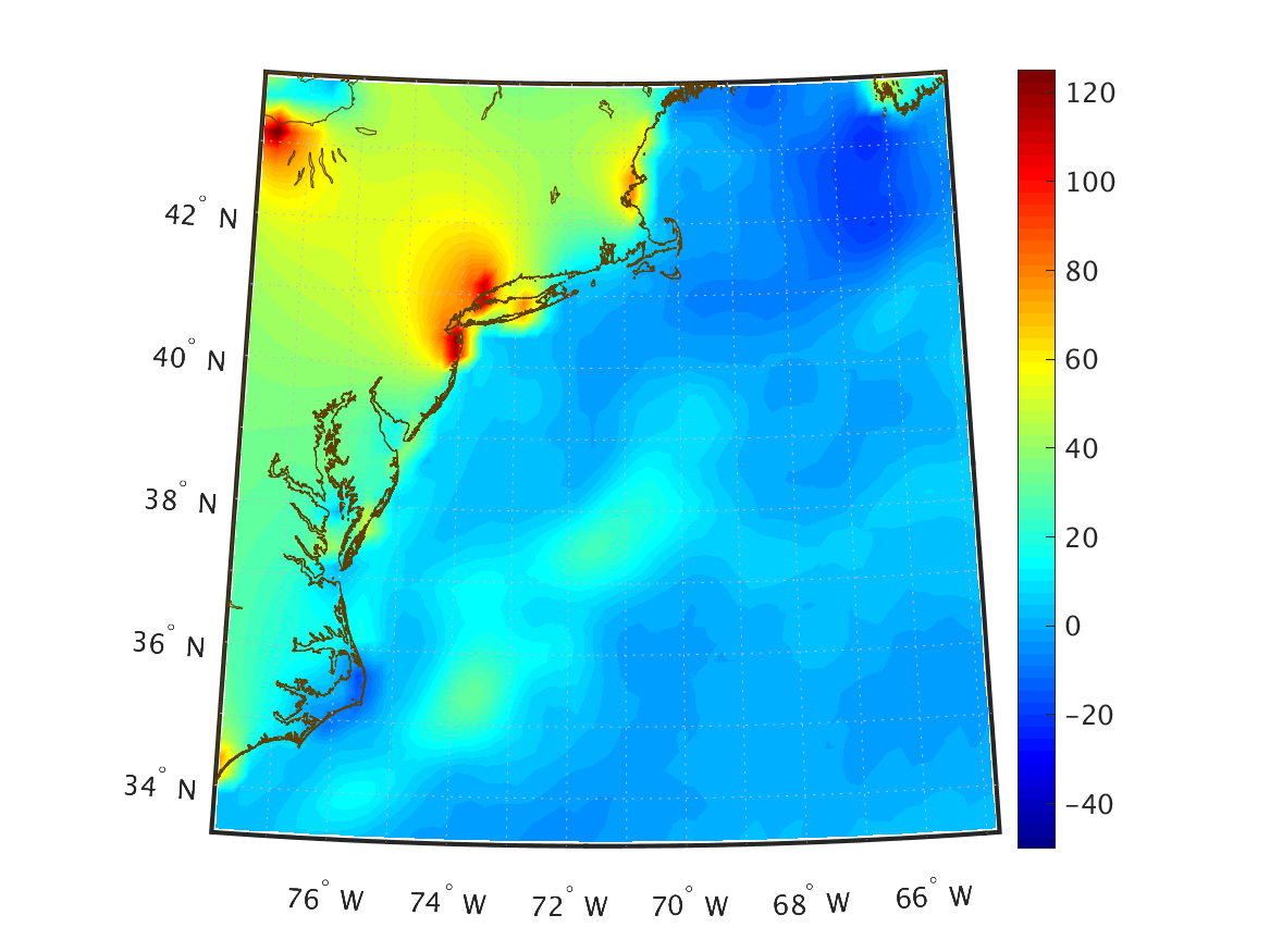
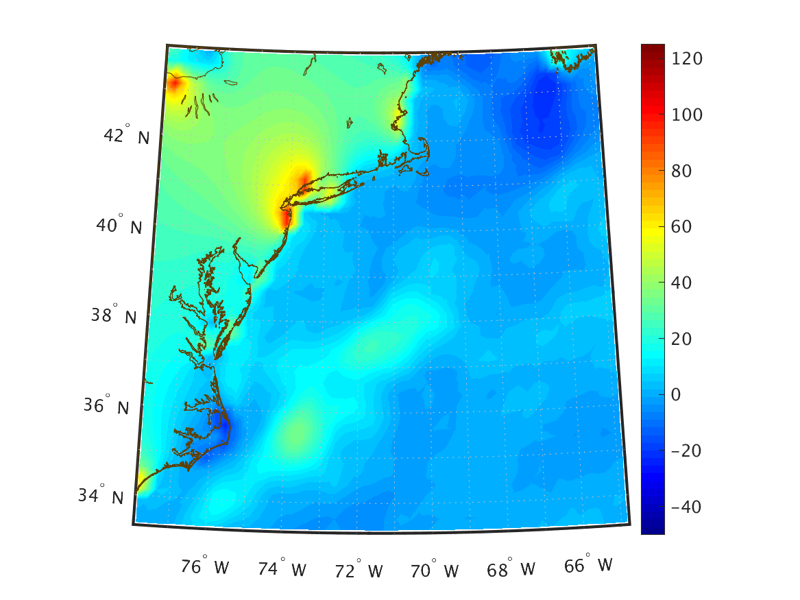
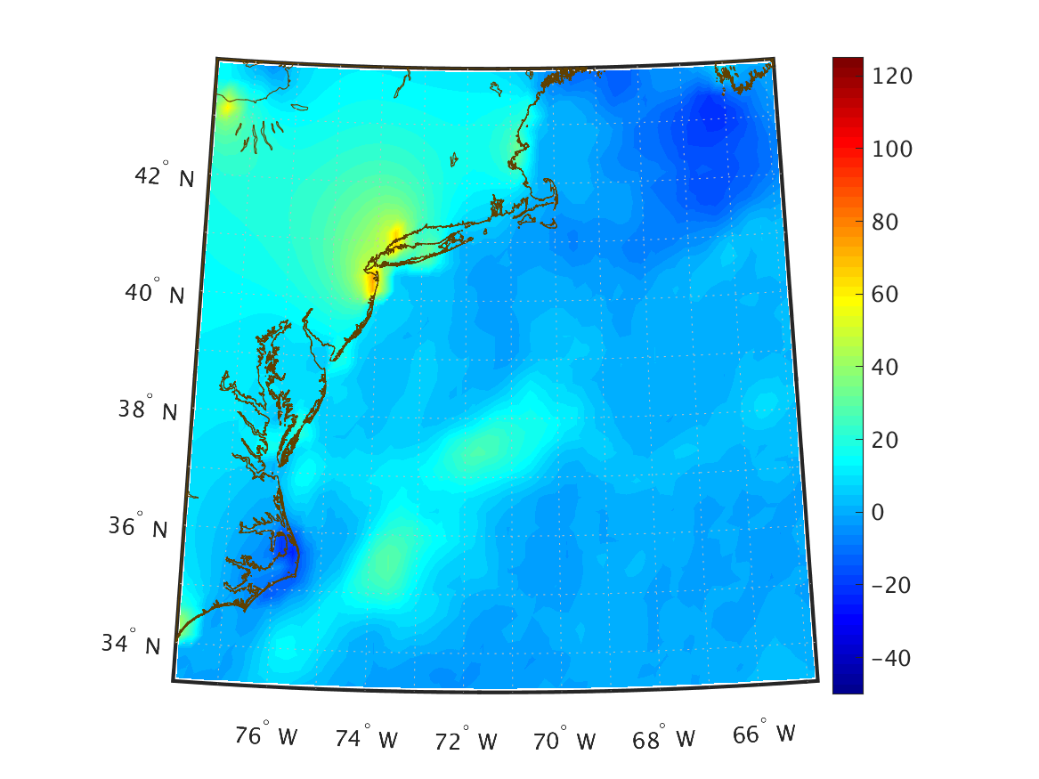
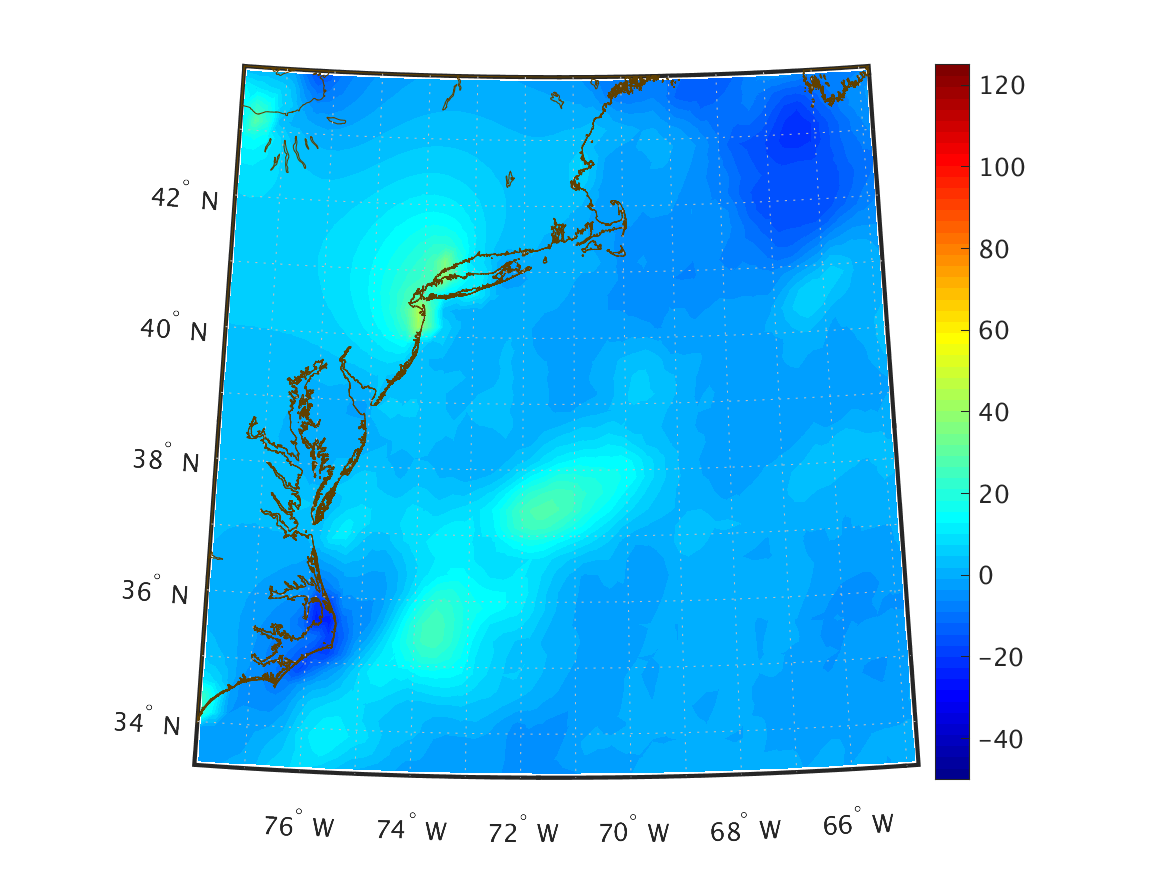
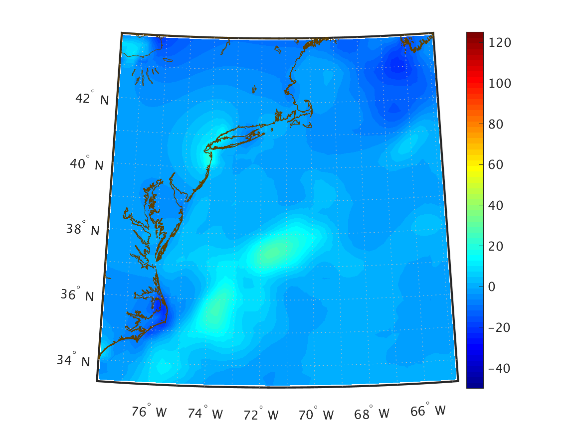
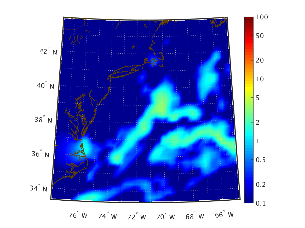
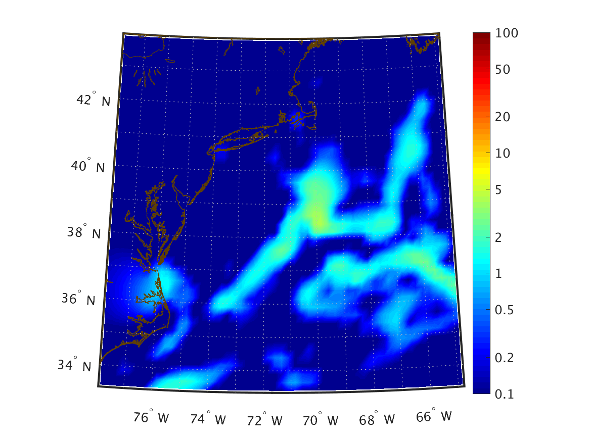
| Net Latent Heat Flux (W/m2) Surface |
|
|
|
|
|
|
|
|
|
|
|
|
|
|
|
|
|
|
|
|
|
|
|
|
|
|
|
|
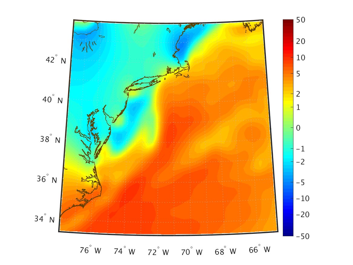
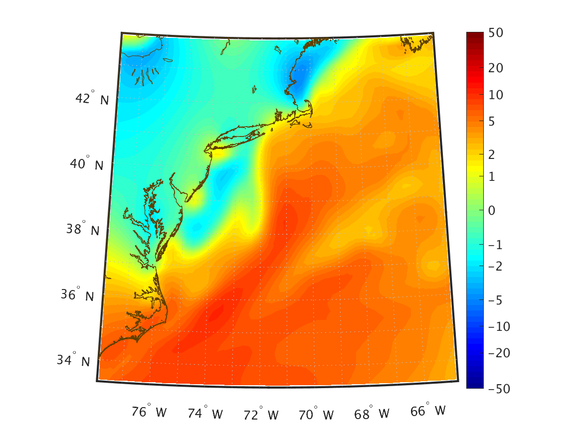
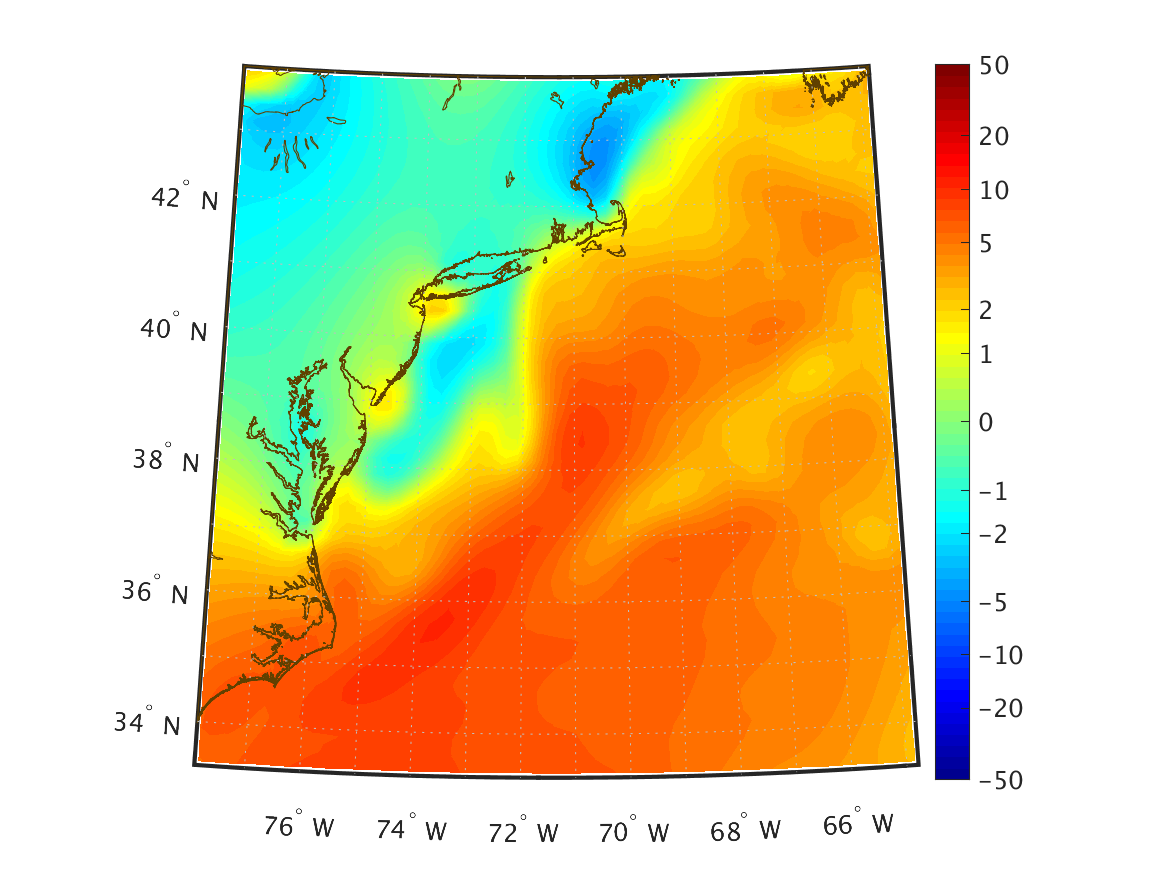
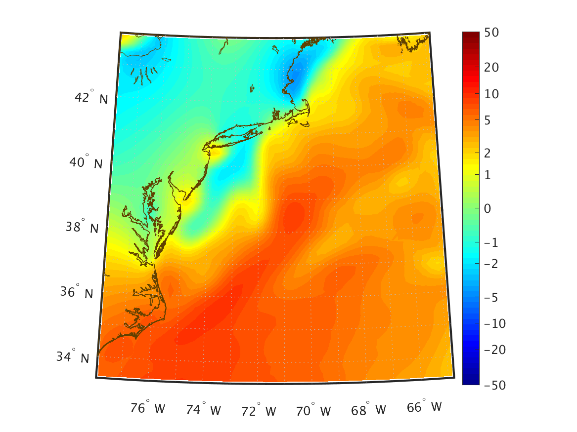
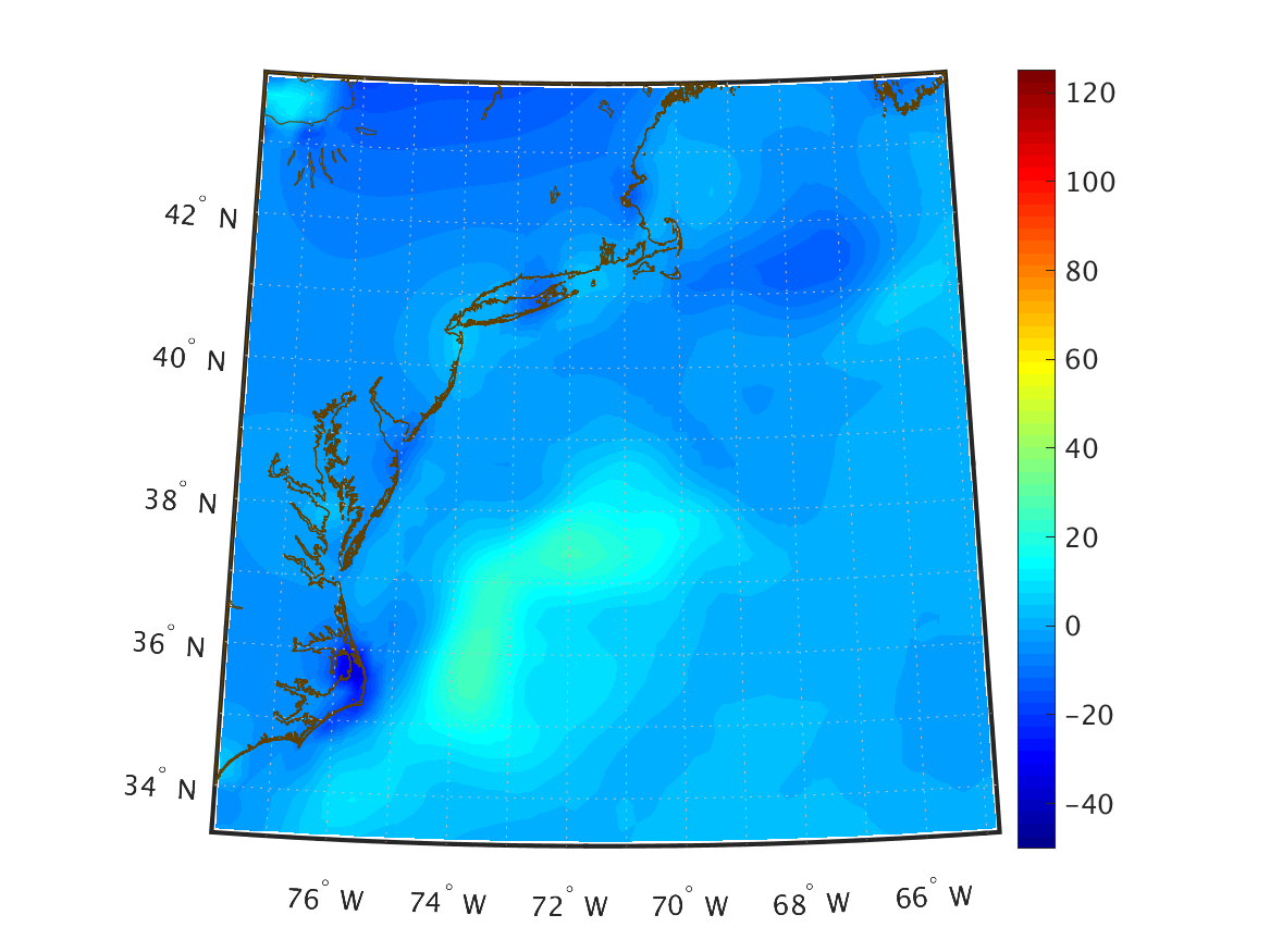
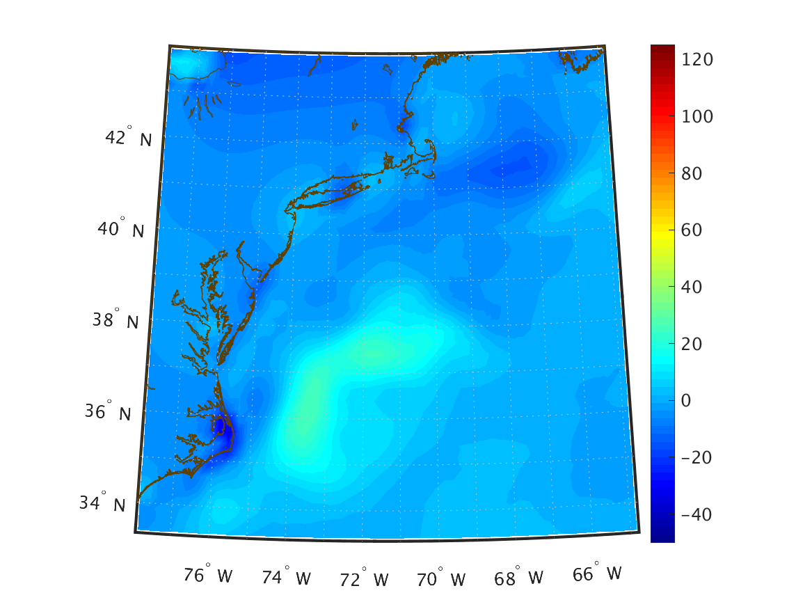
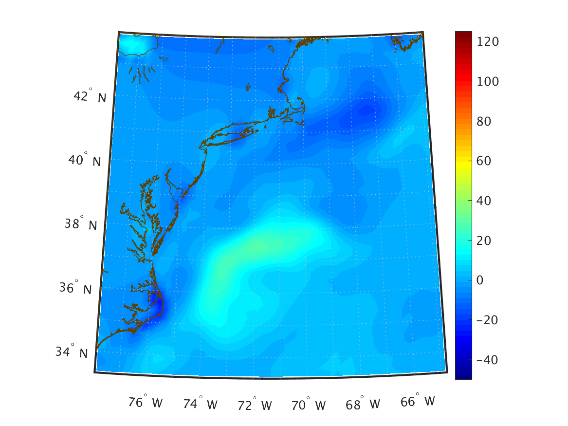
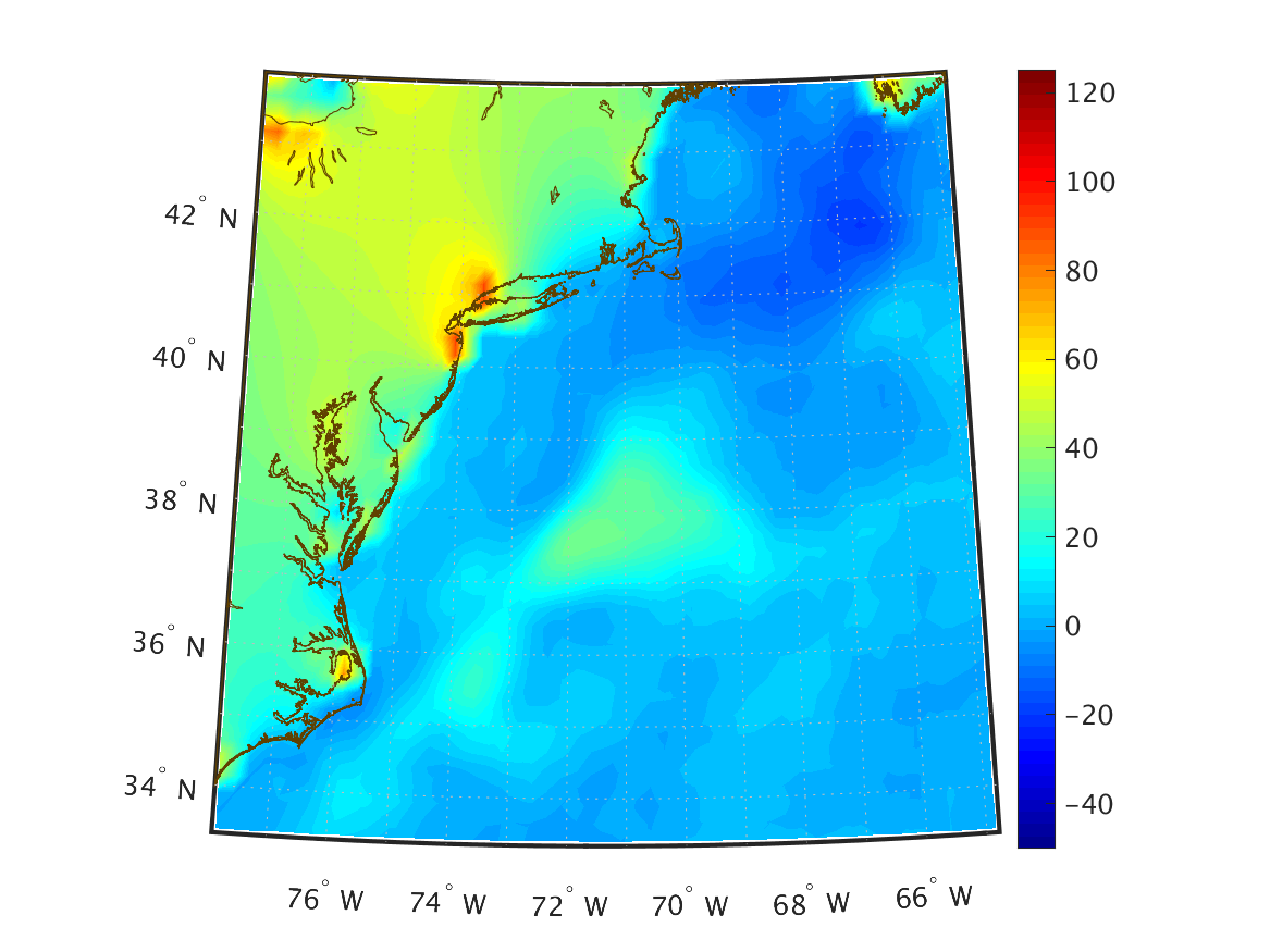
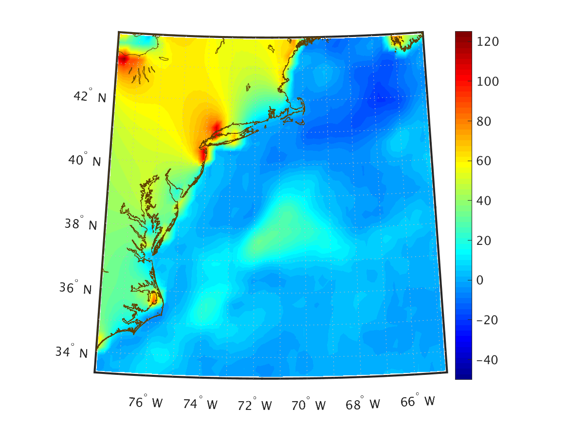
| Net Sensible Heat Flux (W/m2) Surface |
|
|
|
|
|
|
|
|
|
|
|
|
|
|
|
|
|
|
|
|
|
|
|
|
|
|
|
|
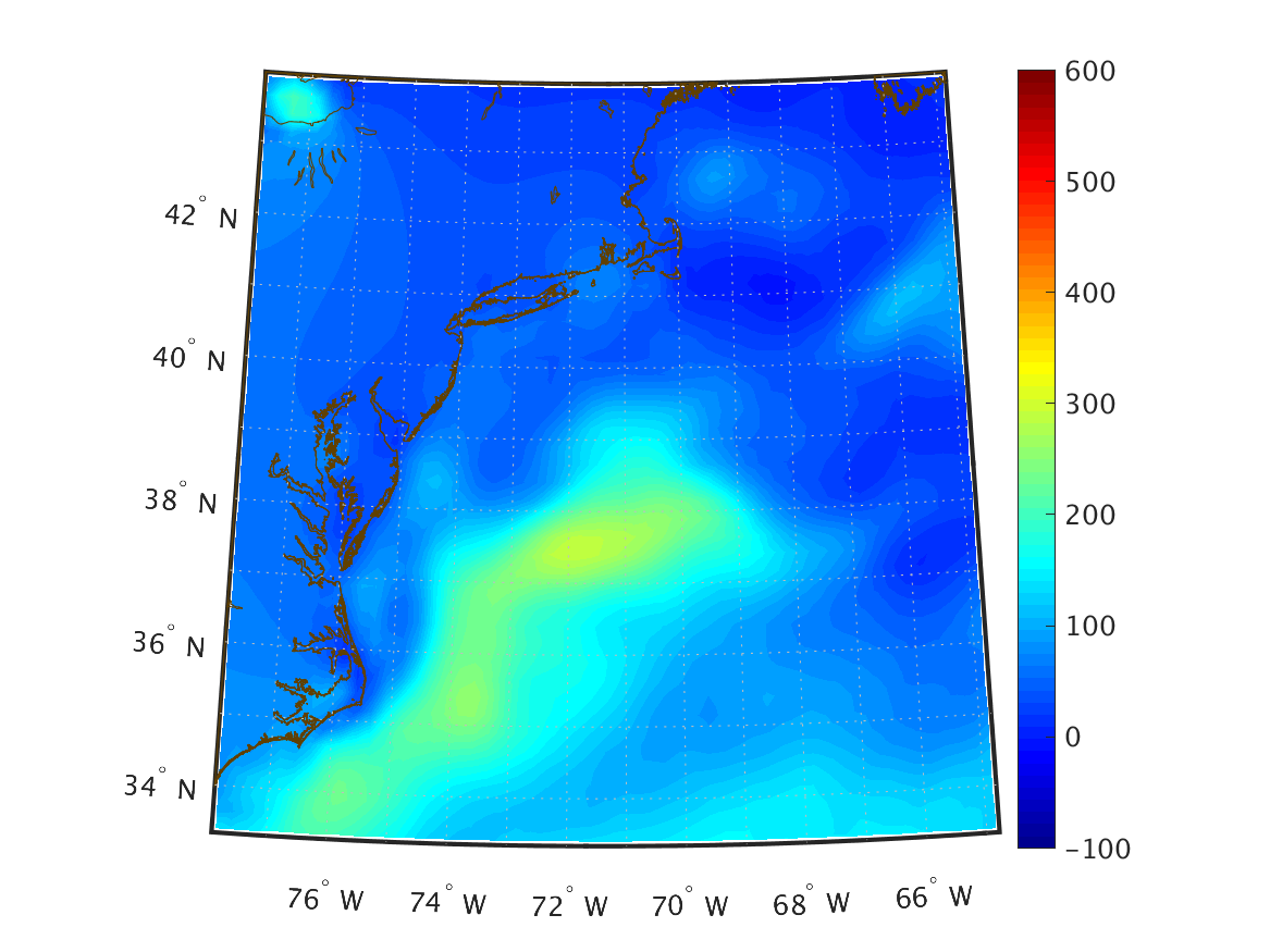
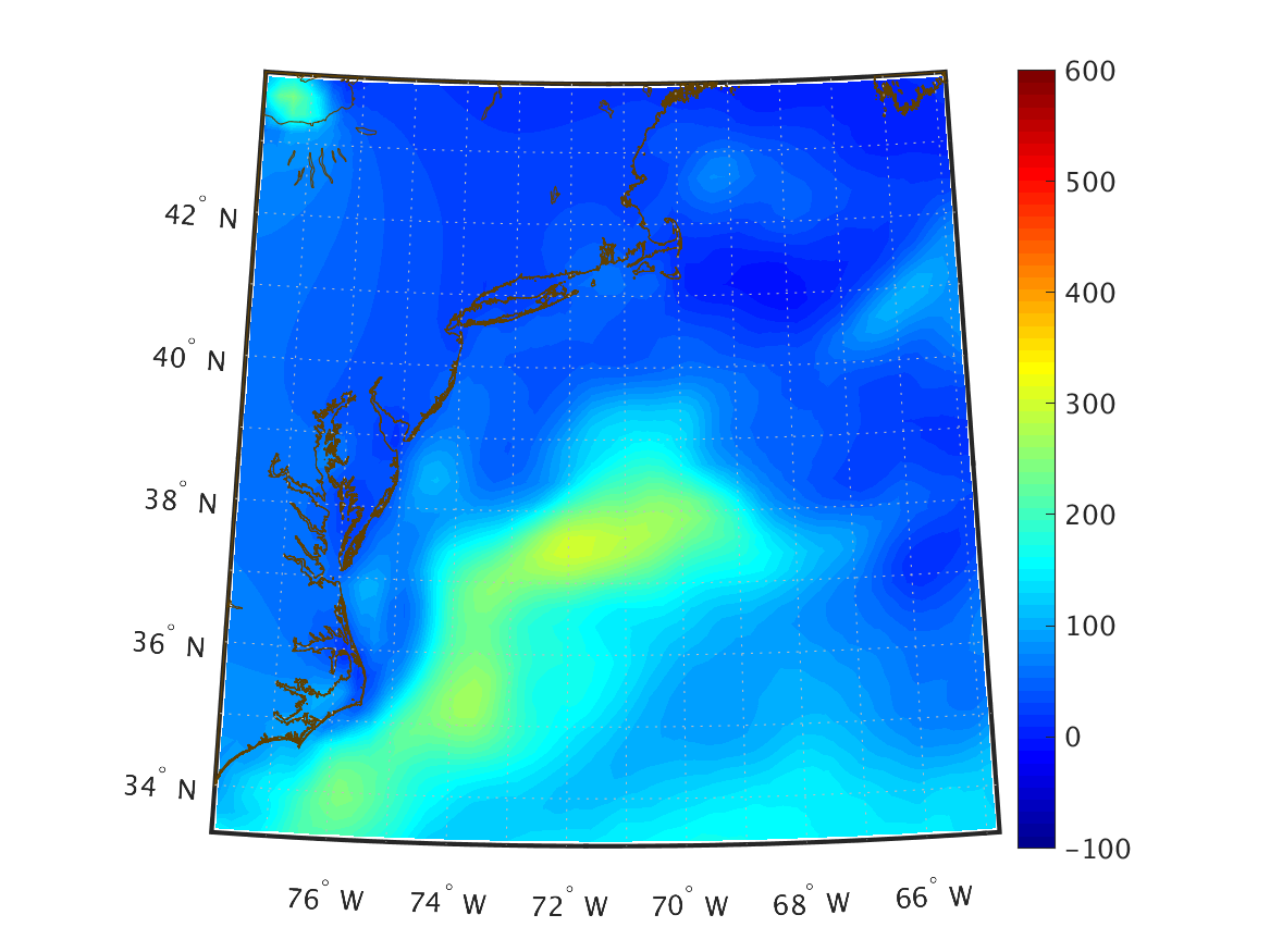
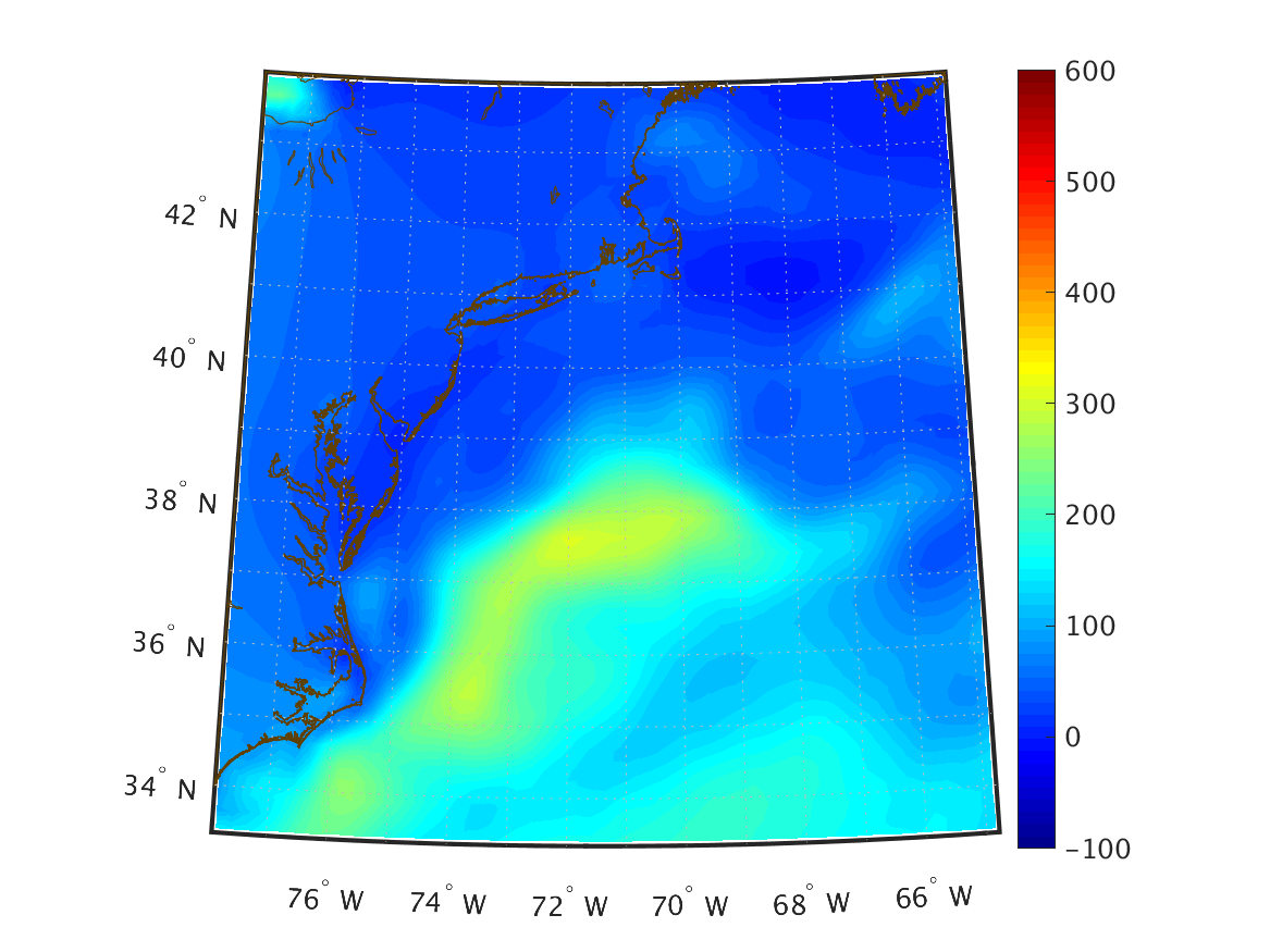
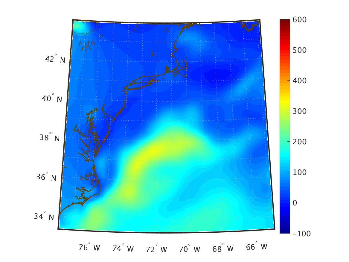
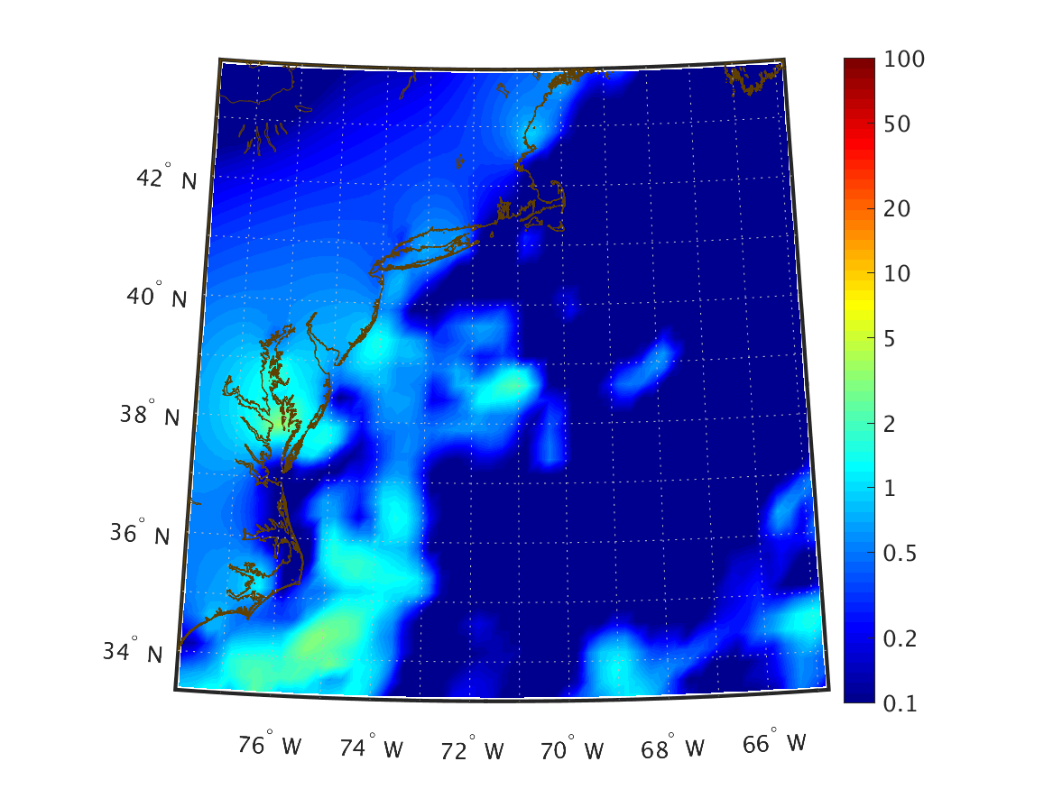
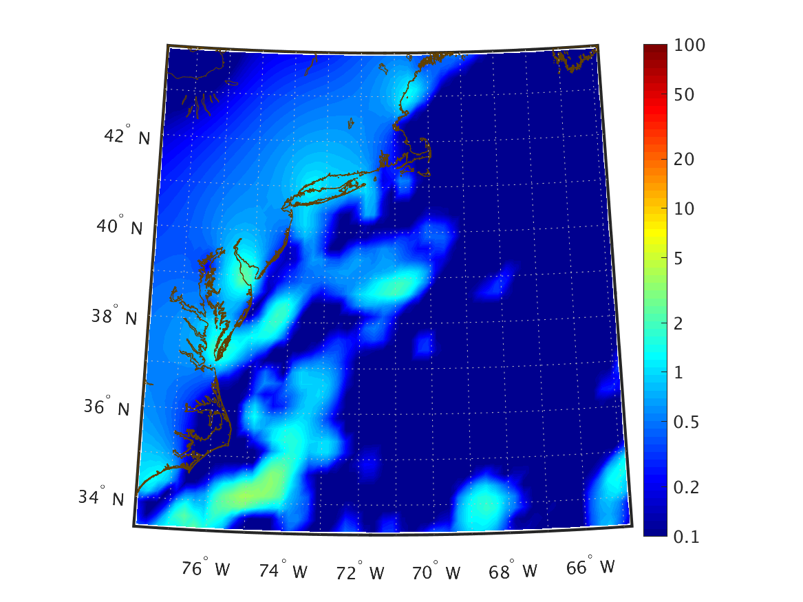
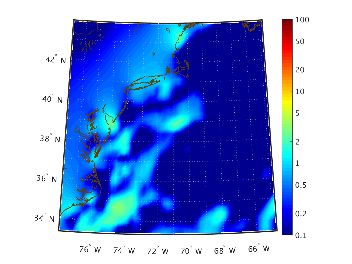
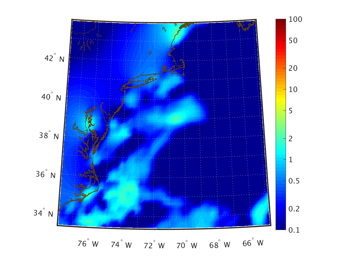
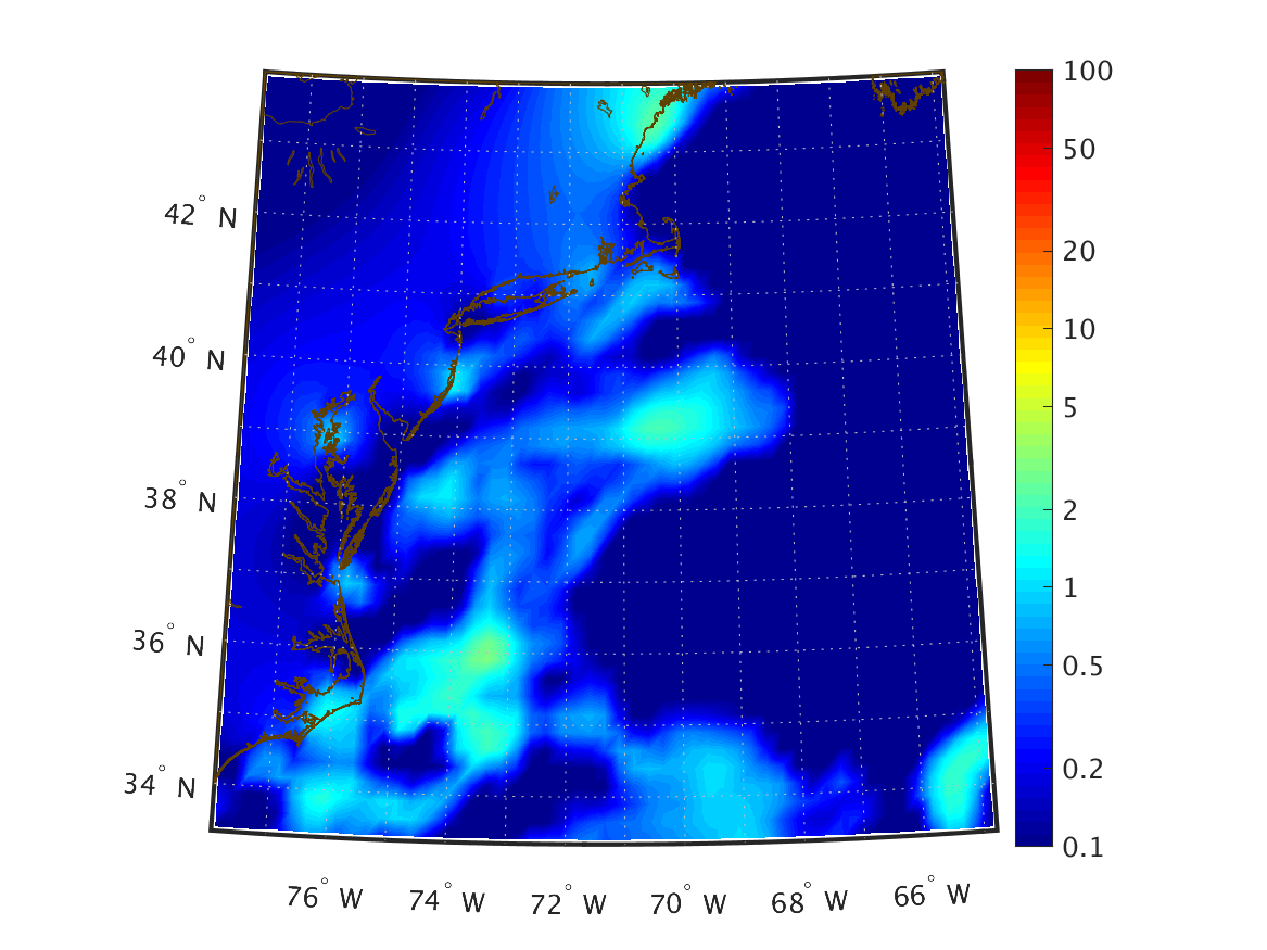
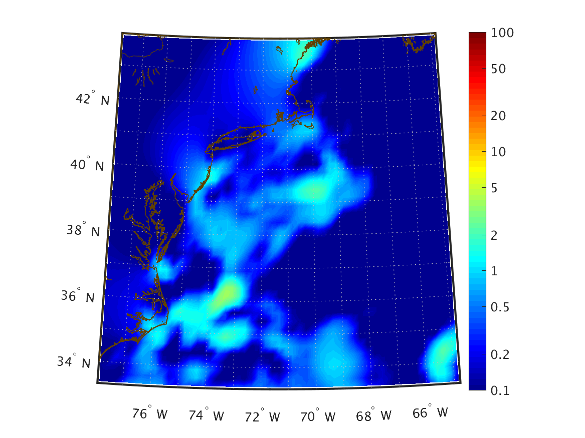
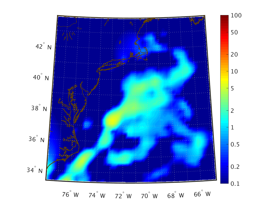
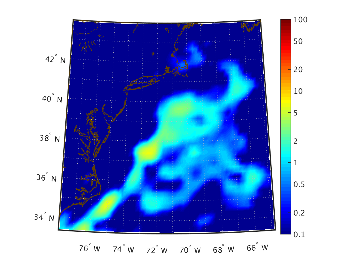
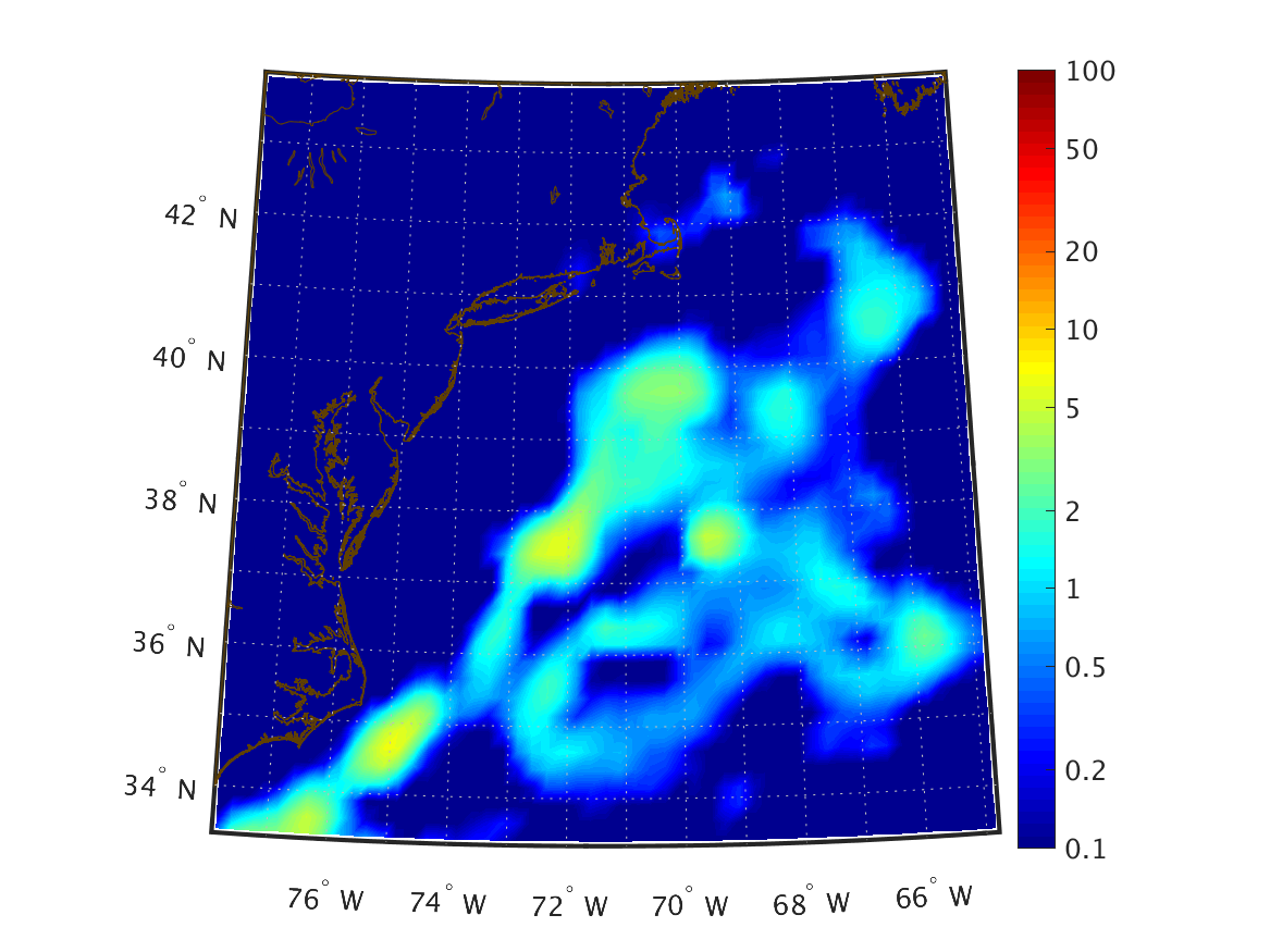
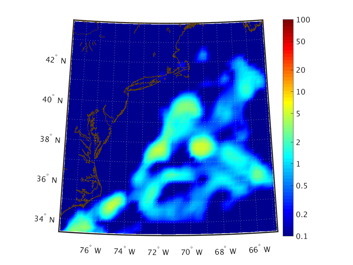
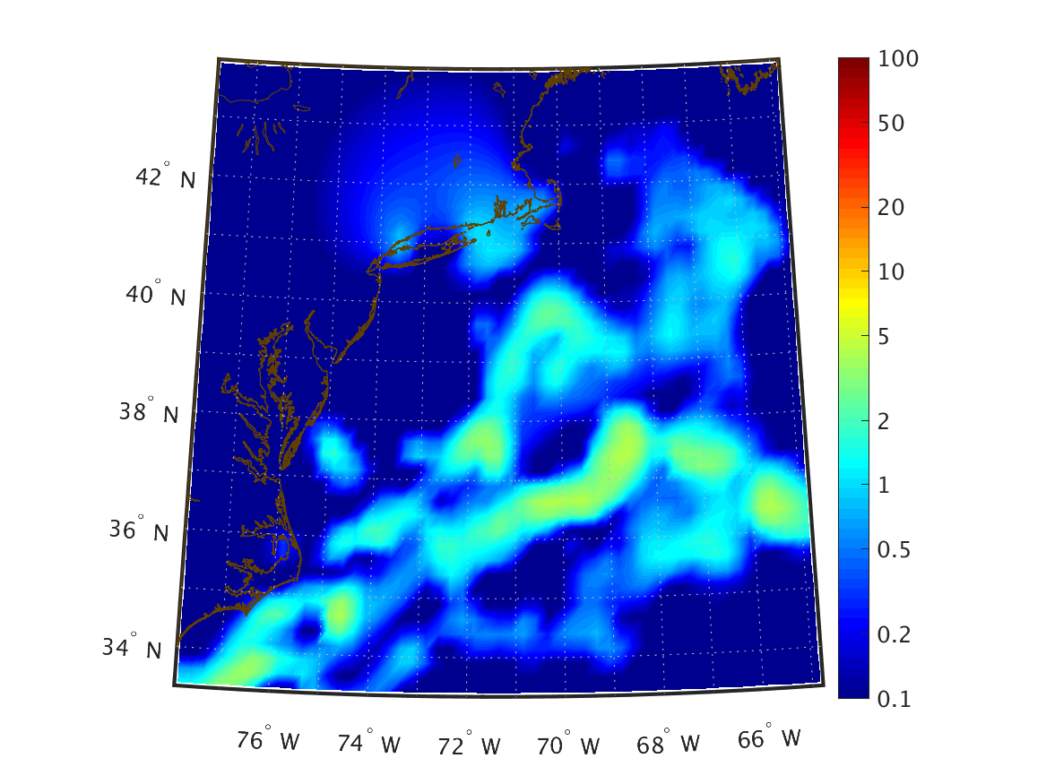
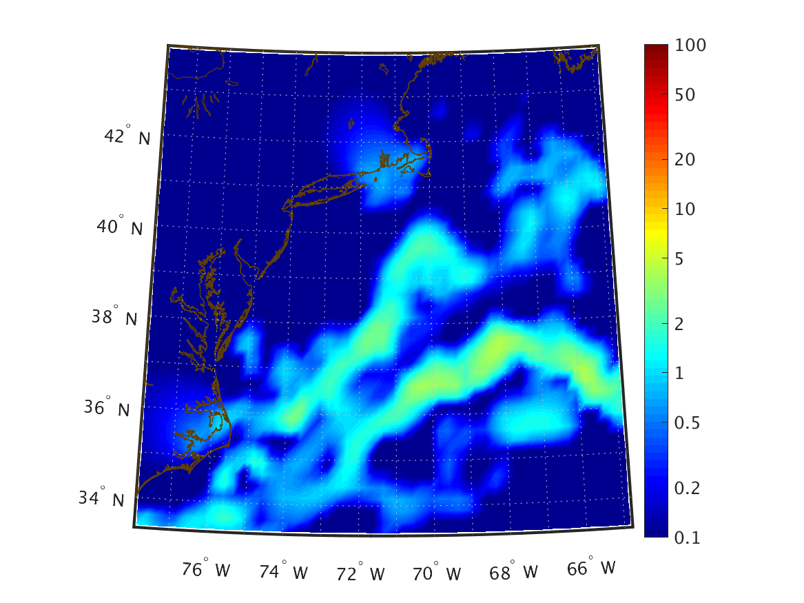
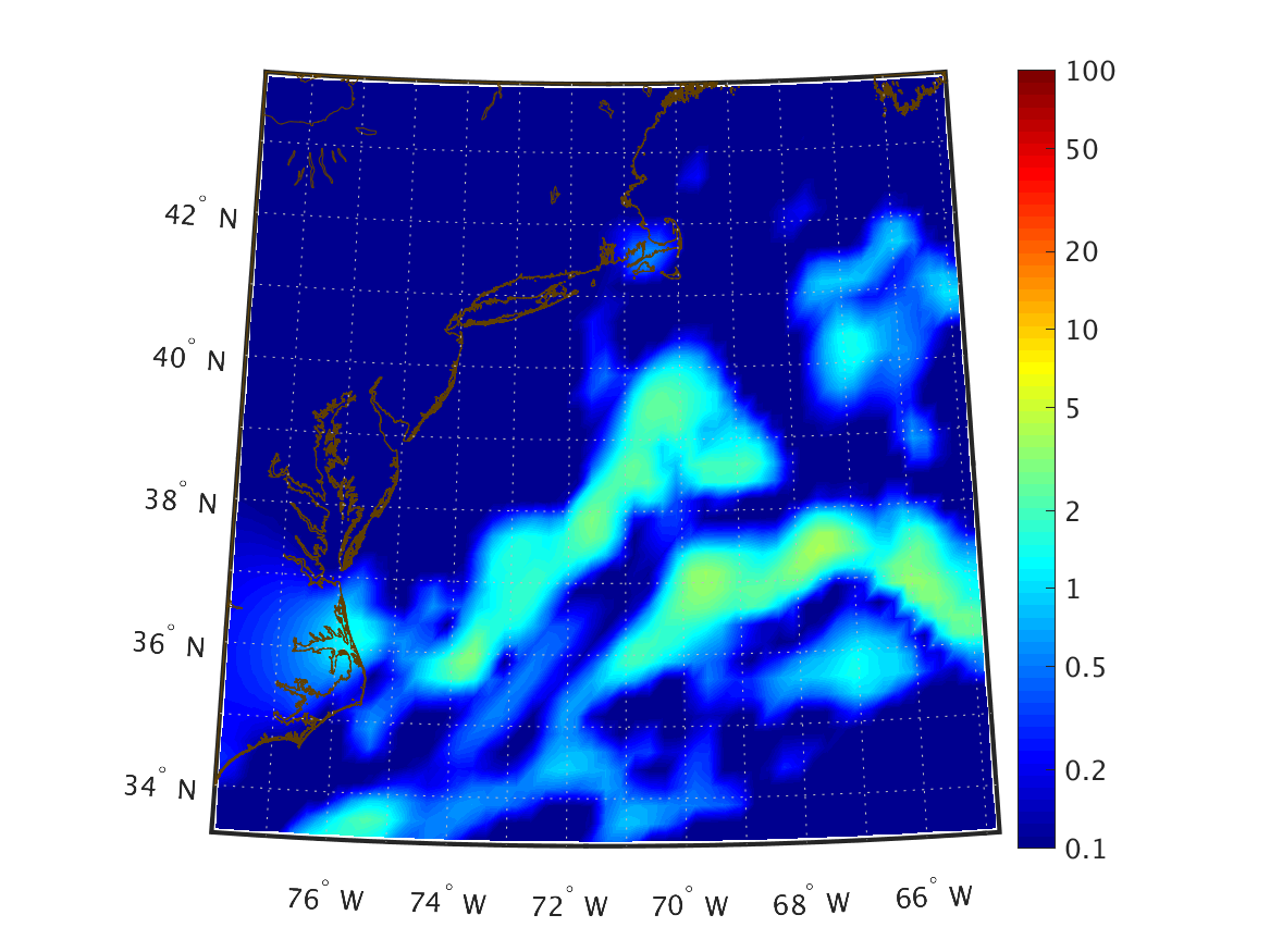
| Total Precipitation (kg/m2) Accumulated over past hour |
|
|
|
|
|
|
|
|
|
|
|
|
|
|
|
|
|
|
|
|
|
|
|
|
|
|
|
|
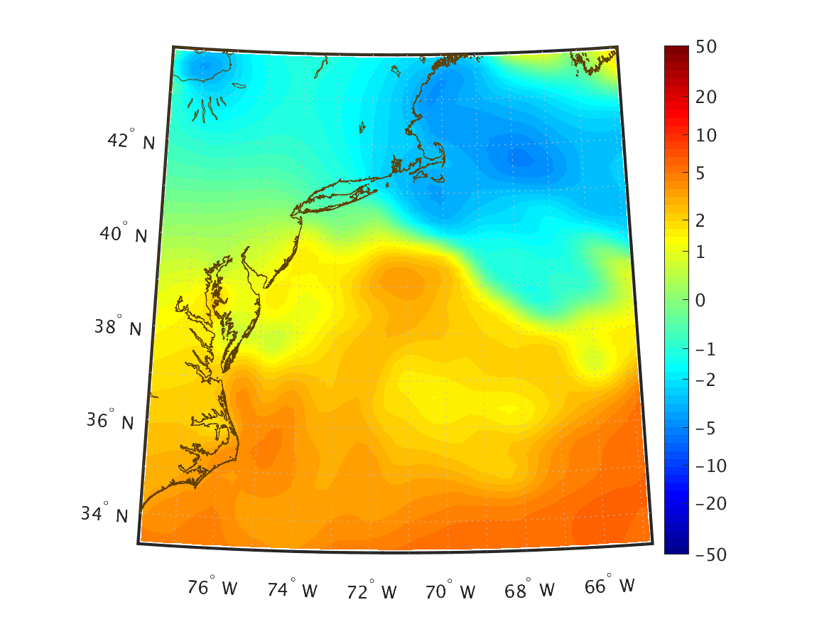
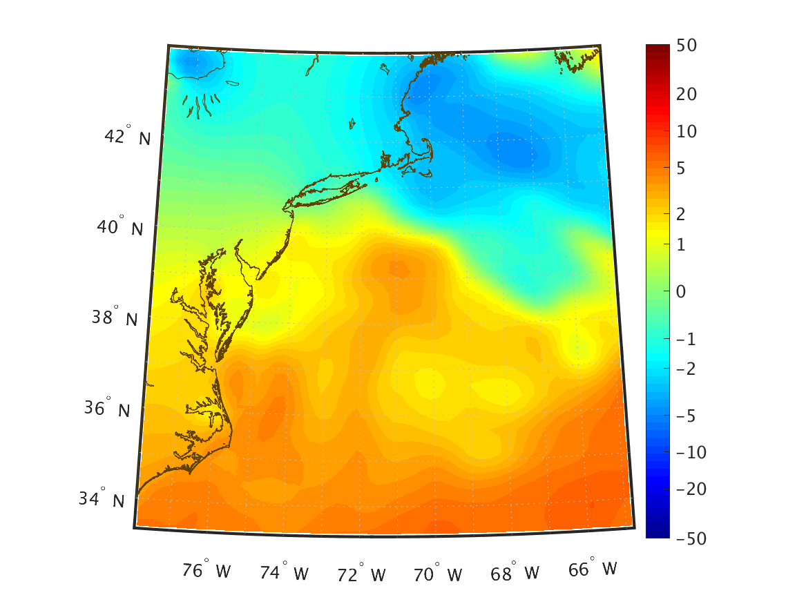
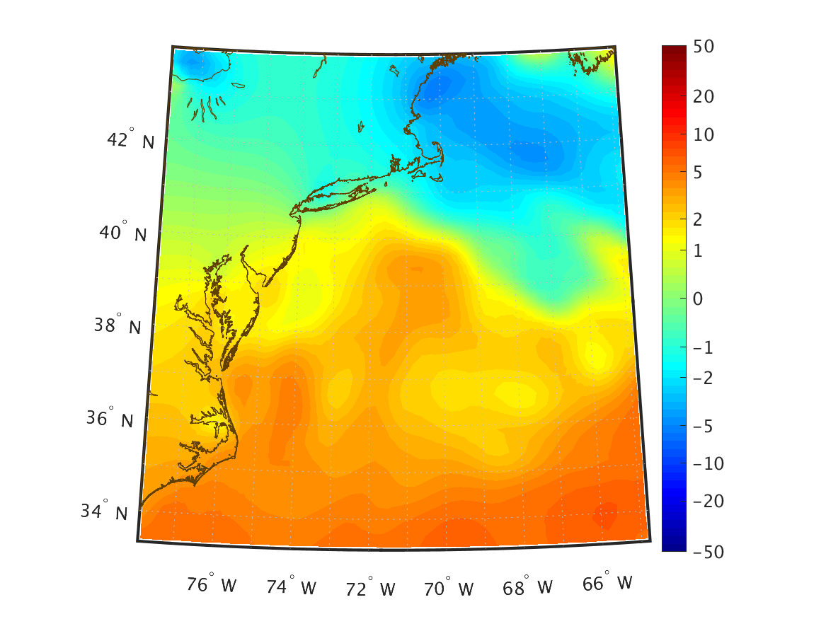
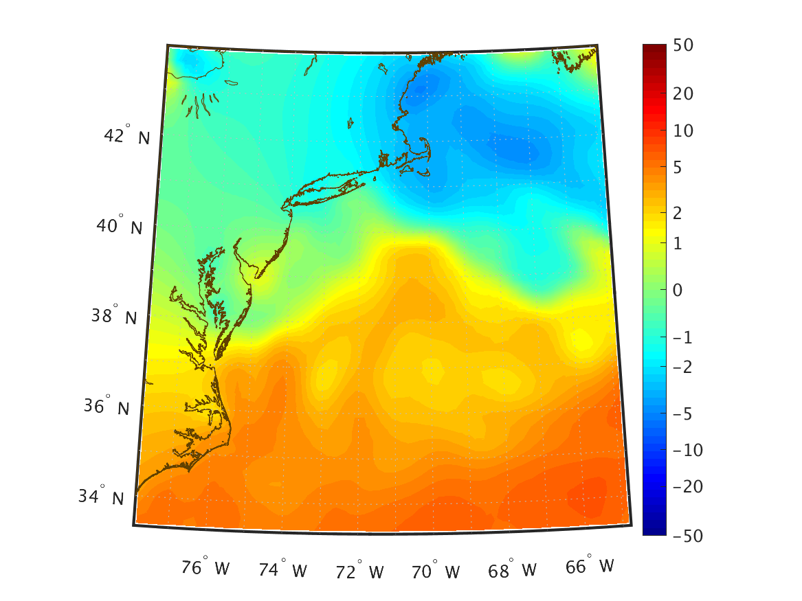
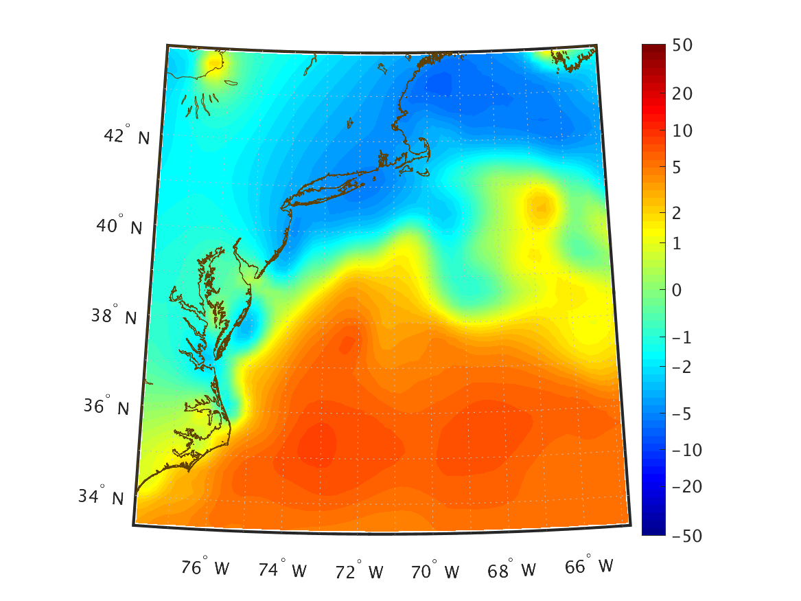
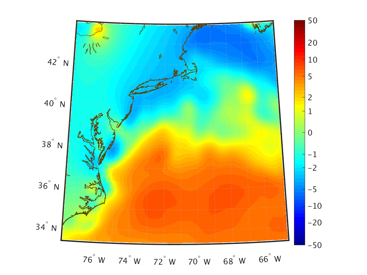
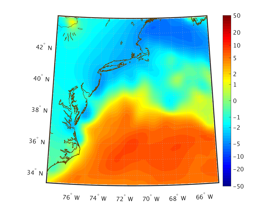
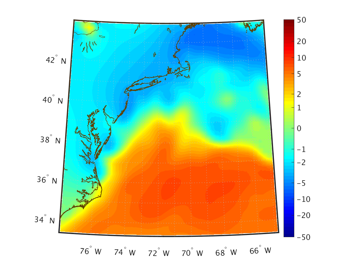
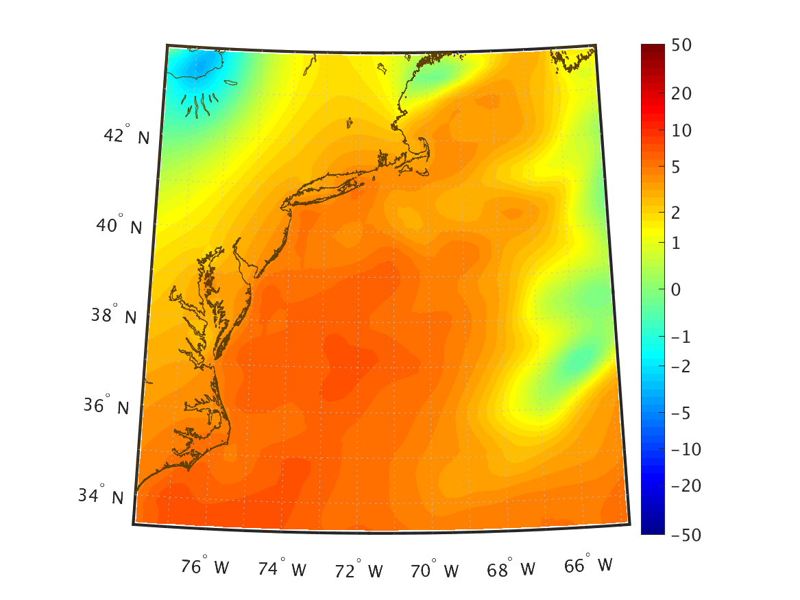
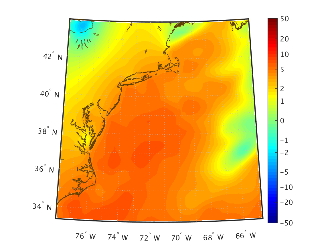
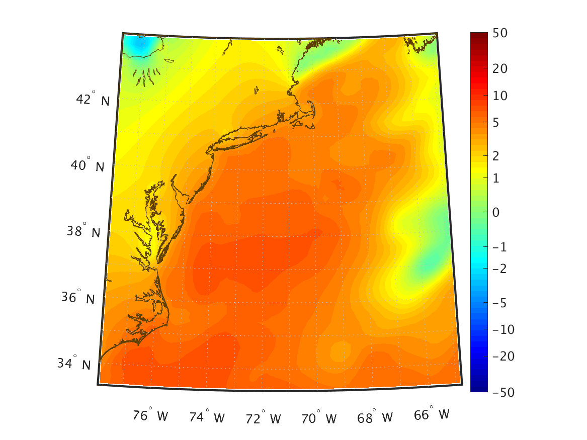
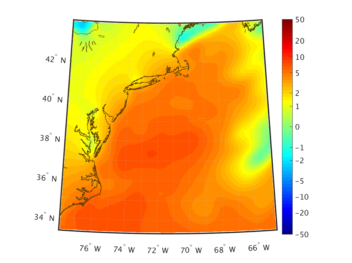
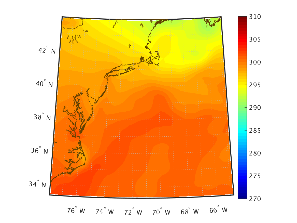
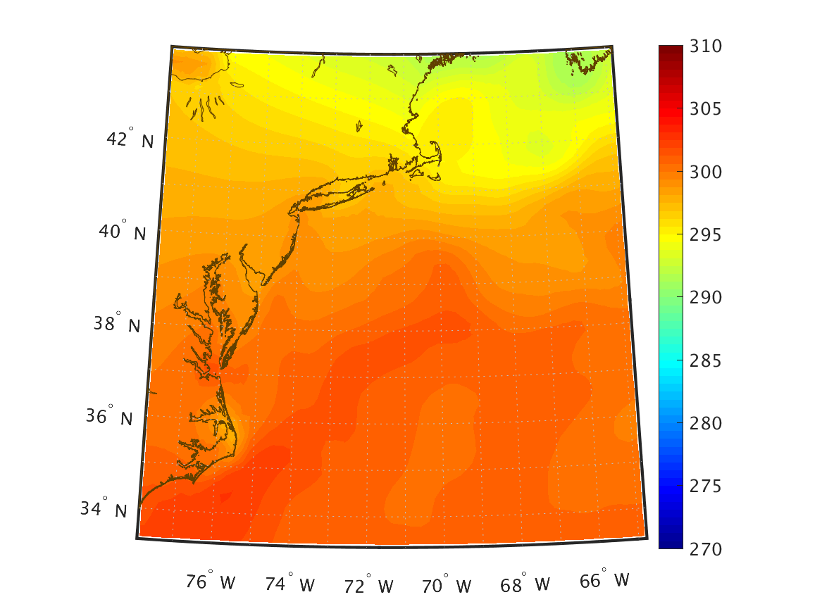
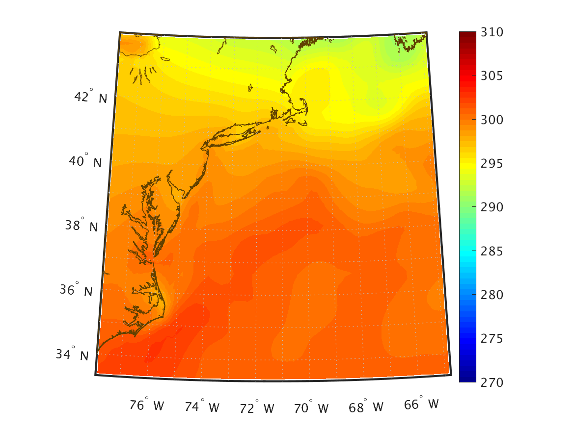
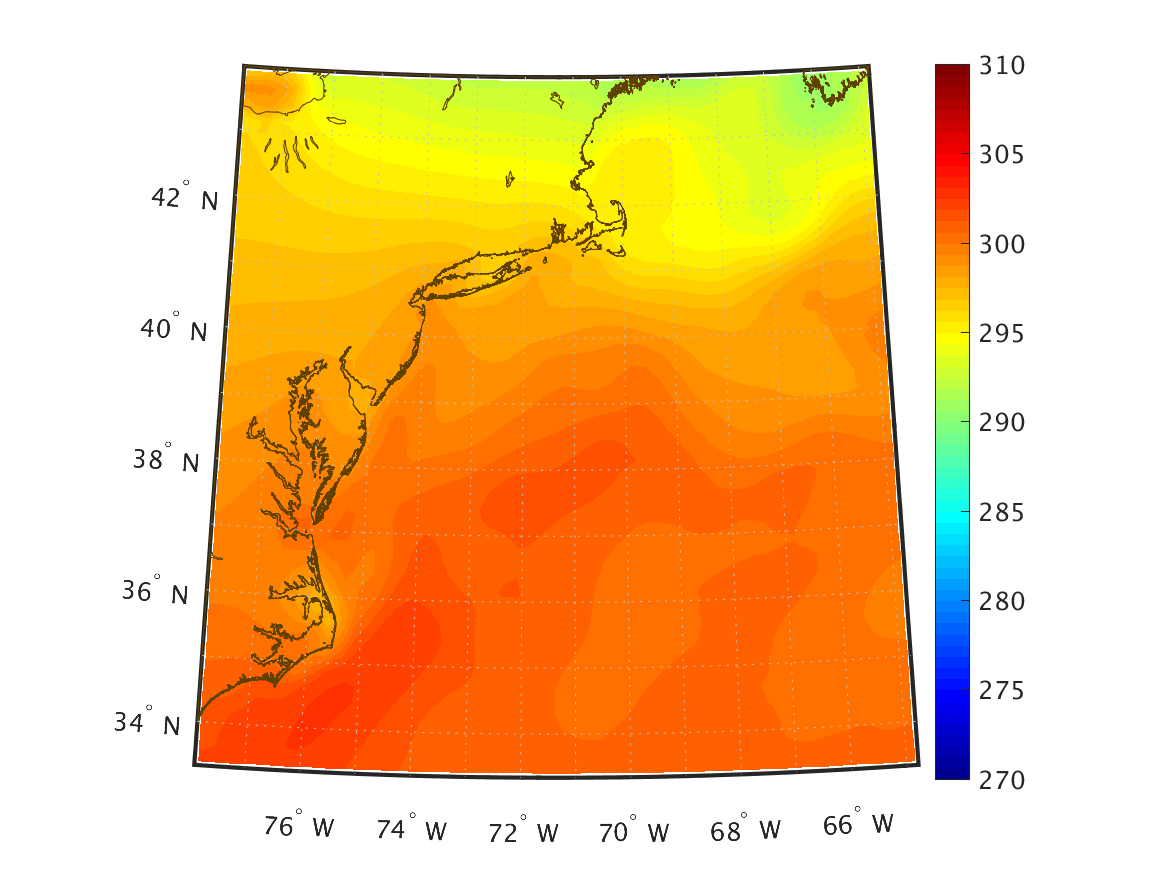
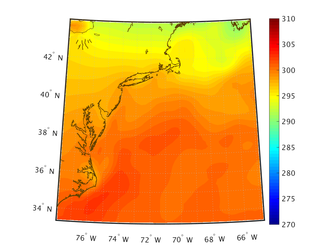
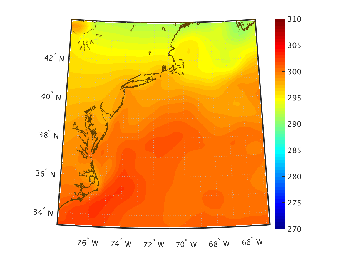
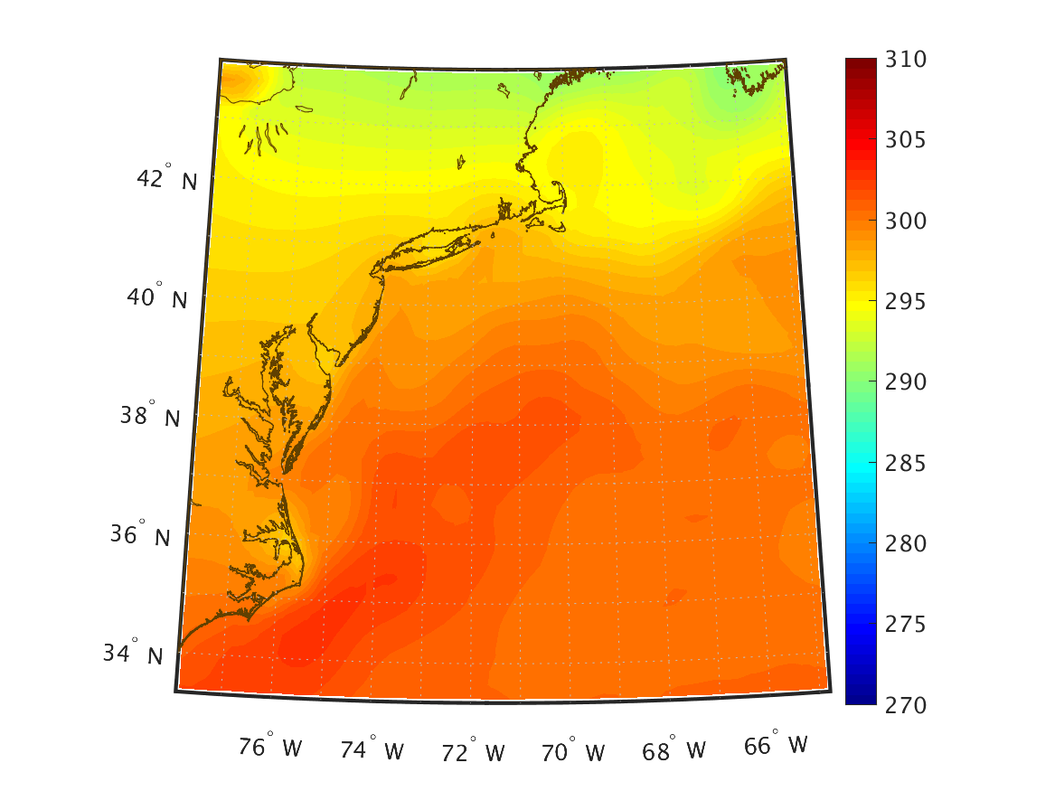
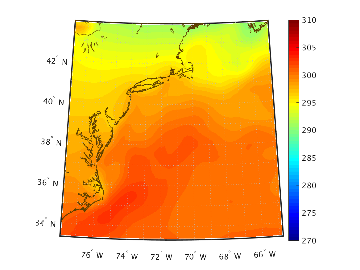
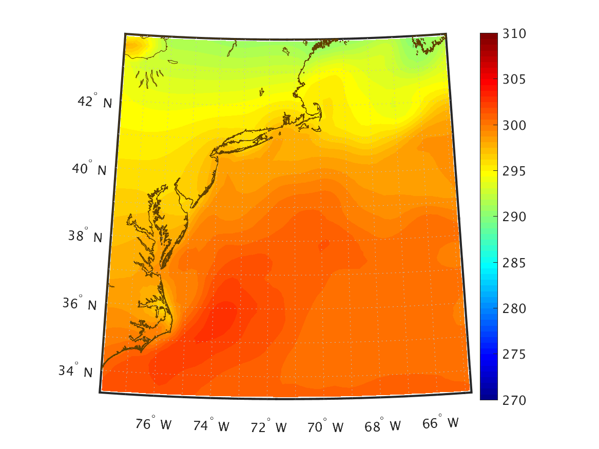
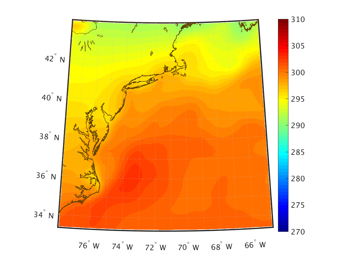
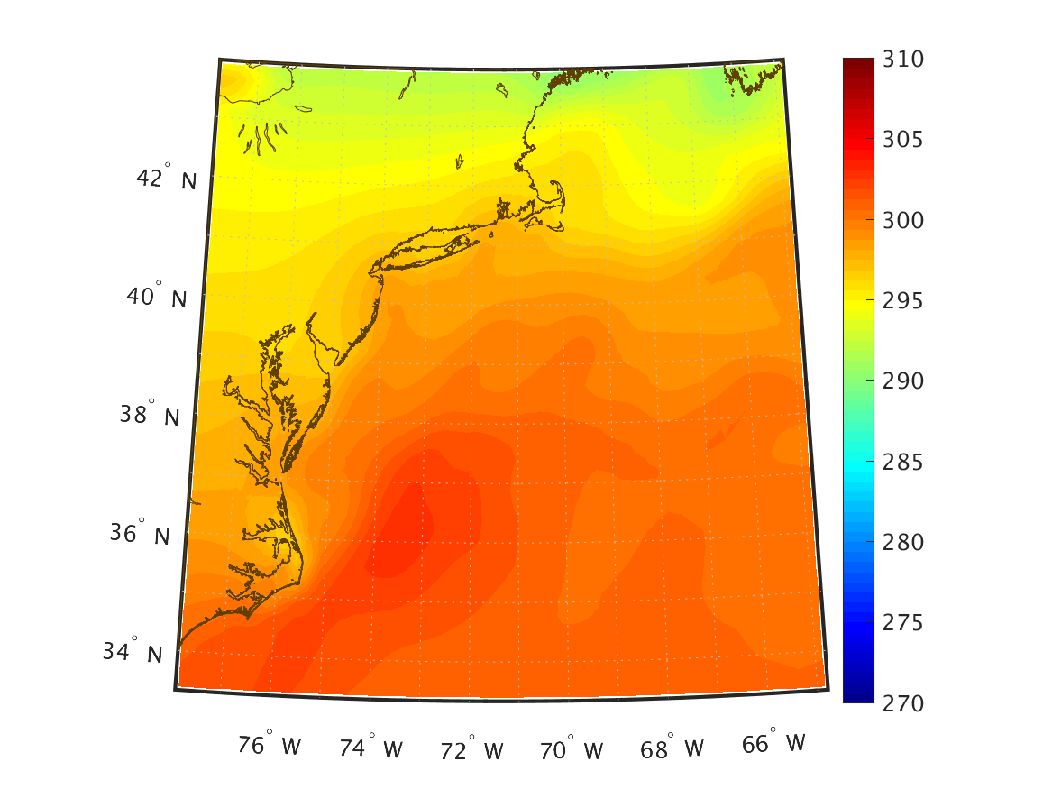
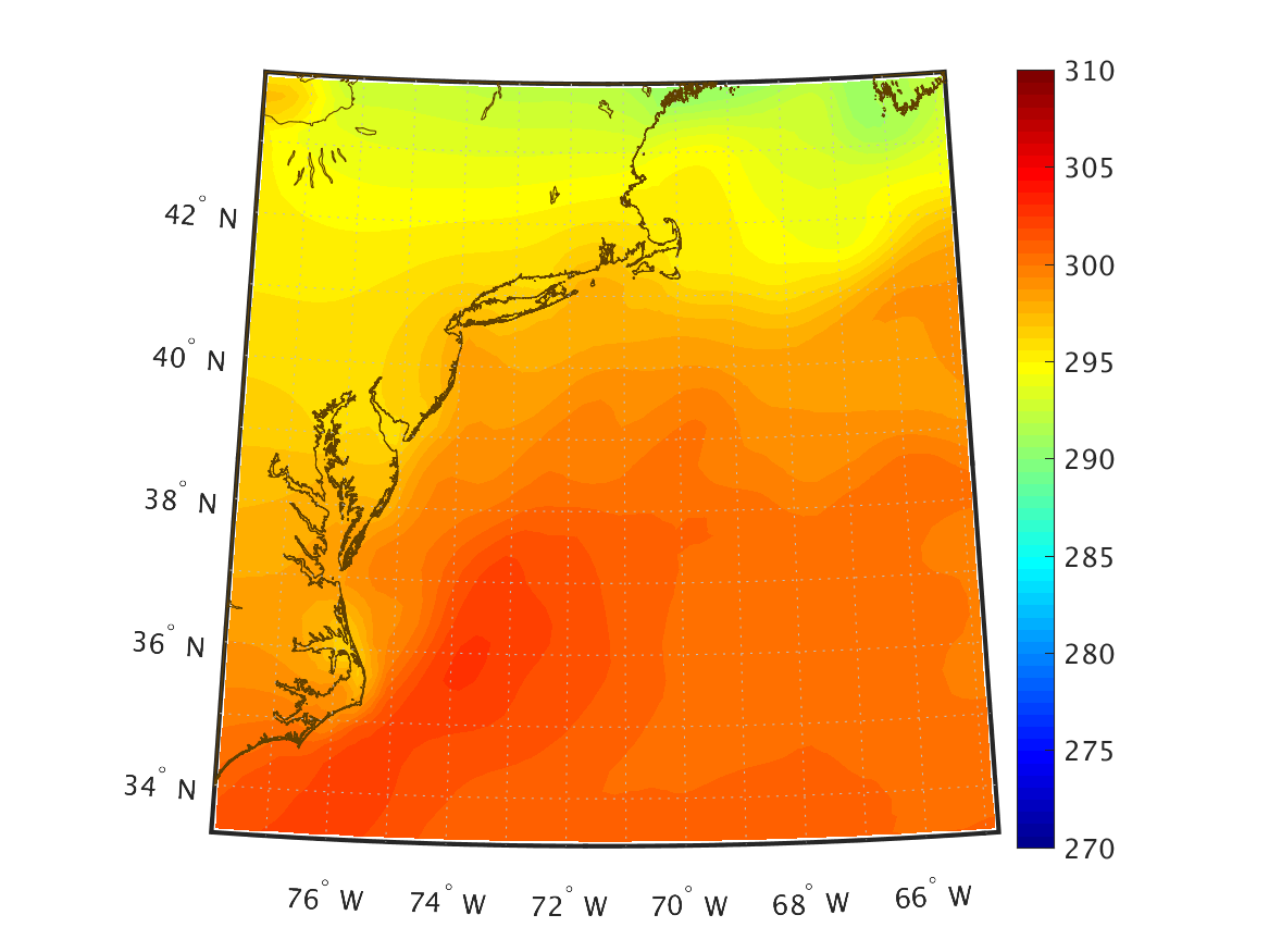
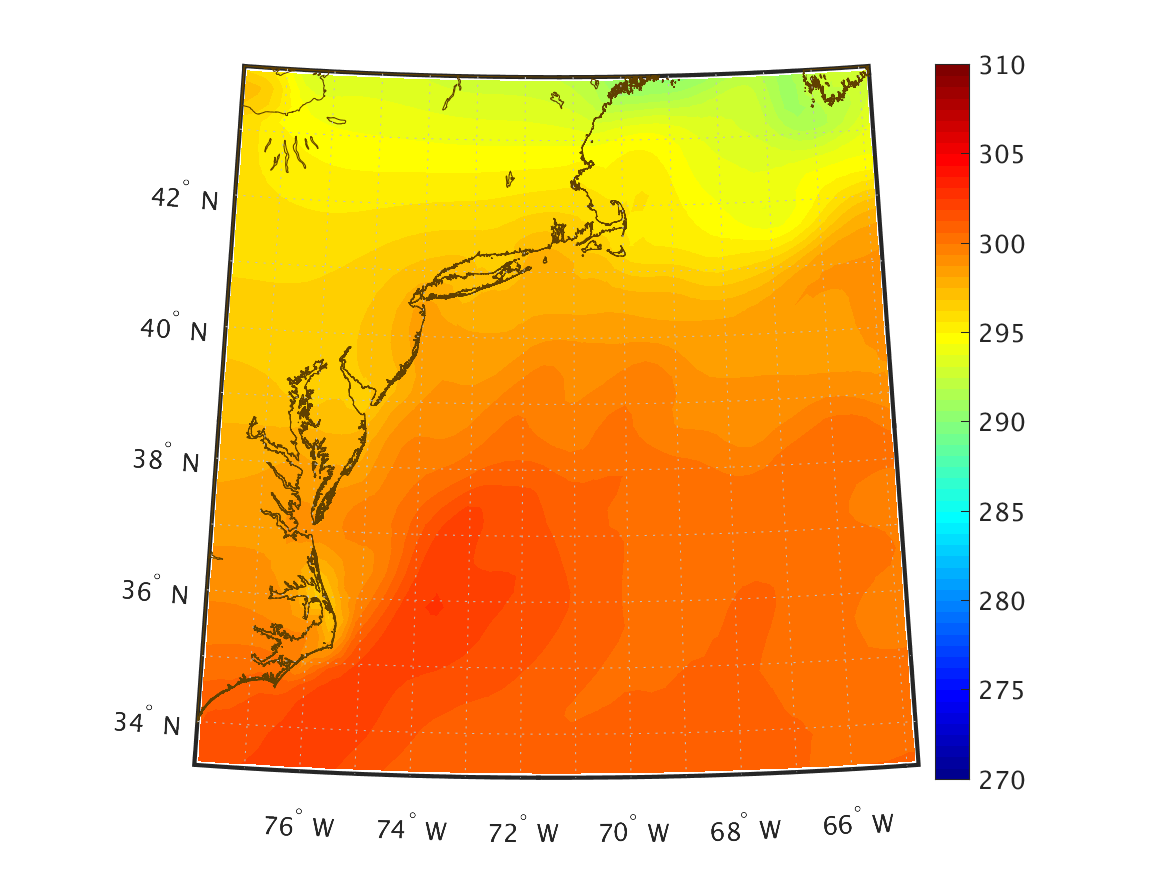
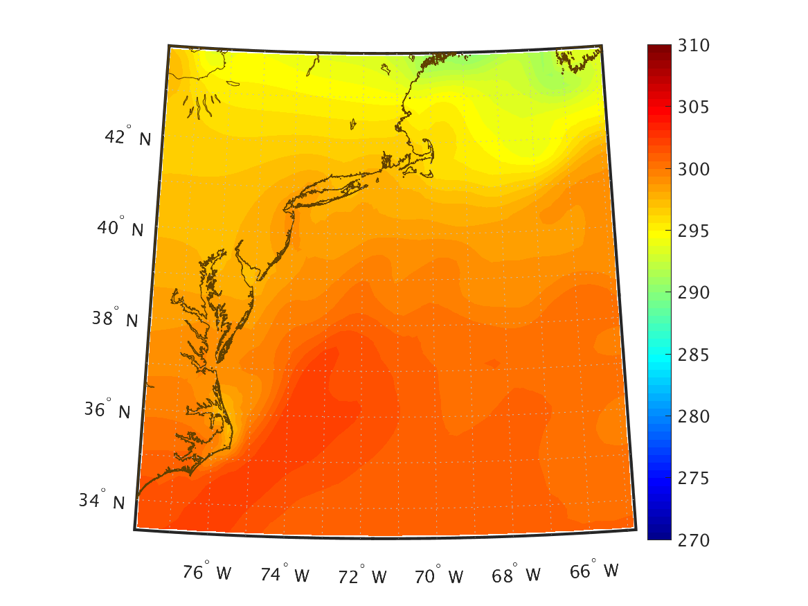
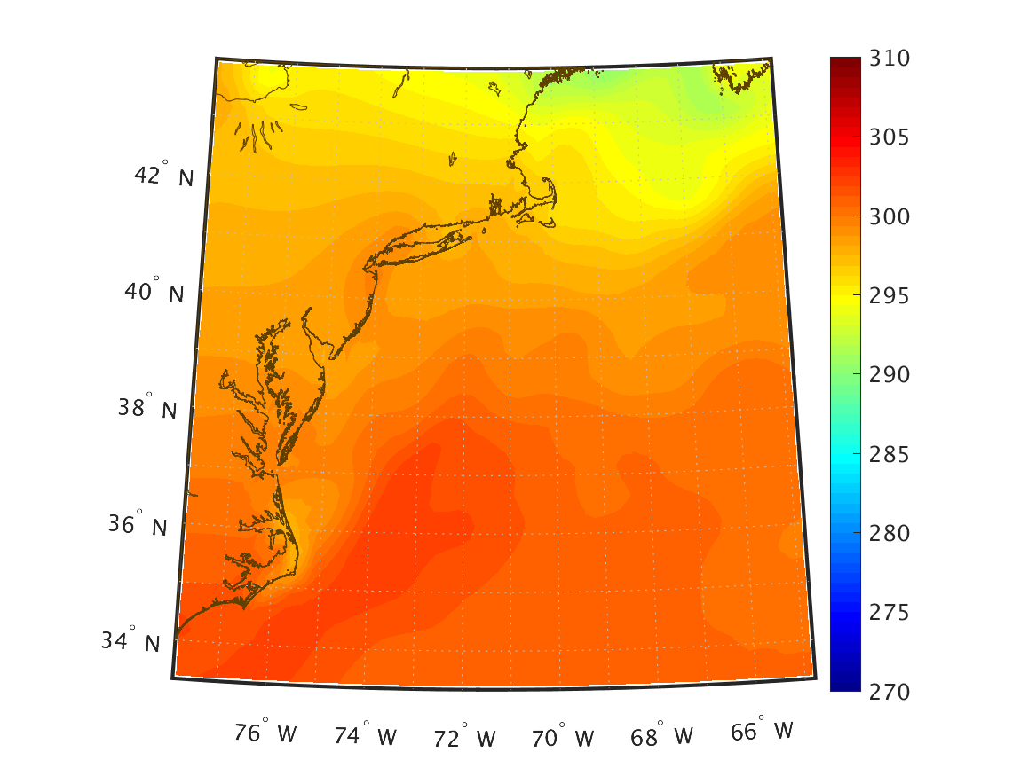
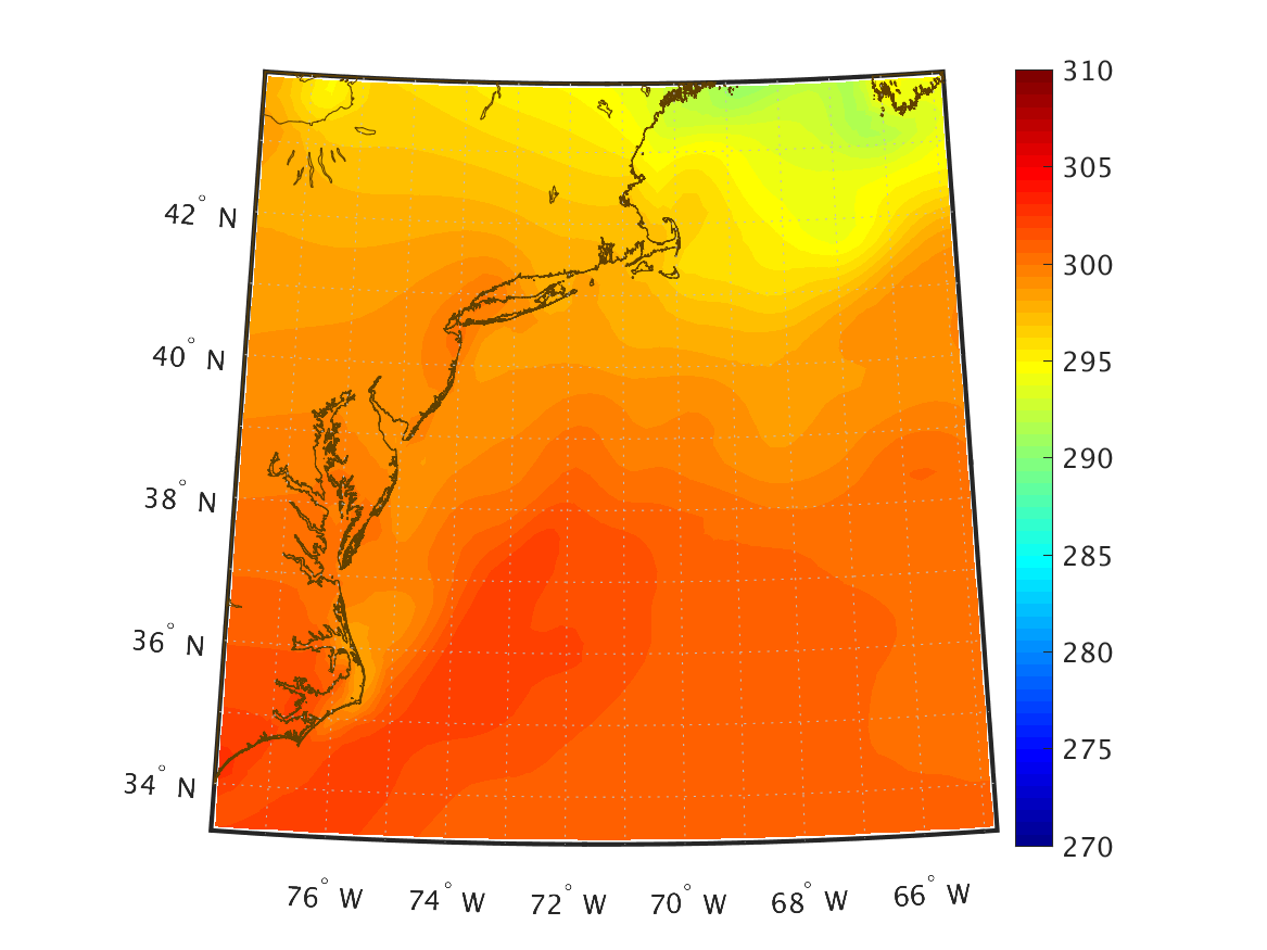
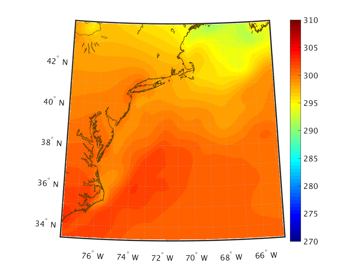
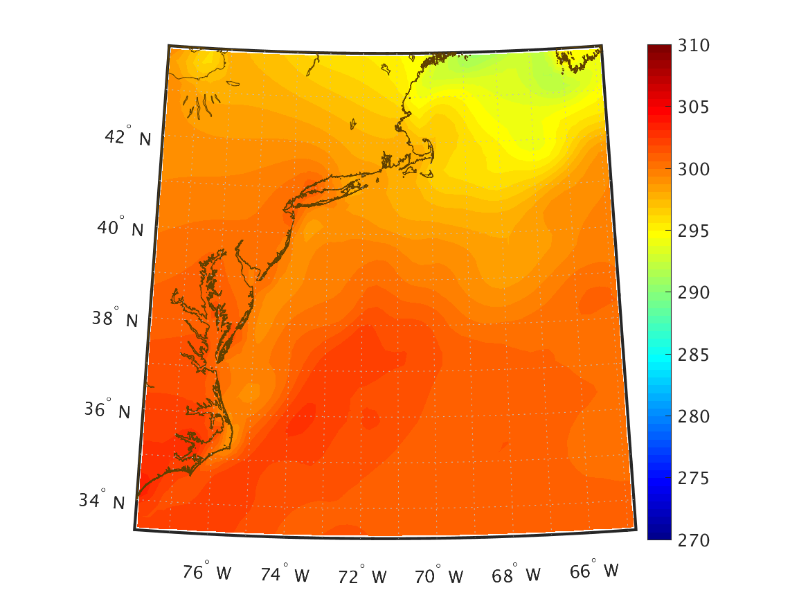
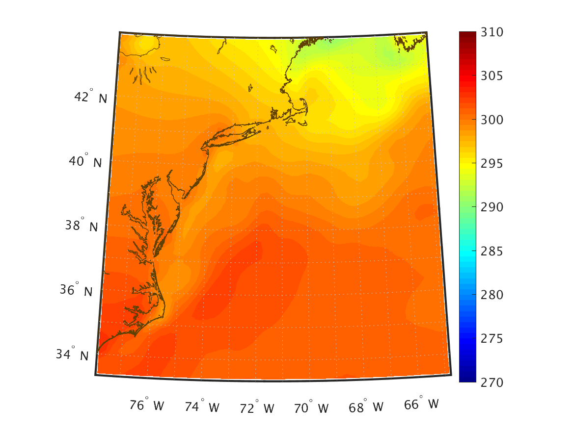
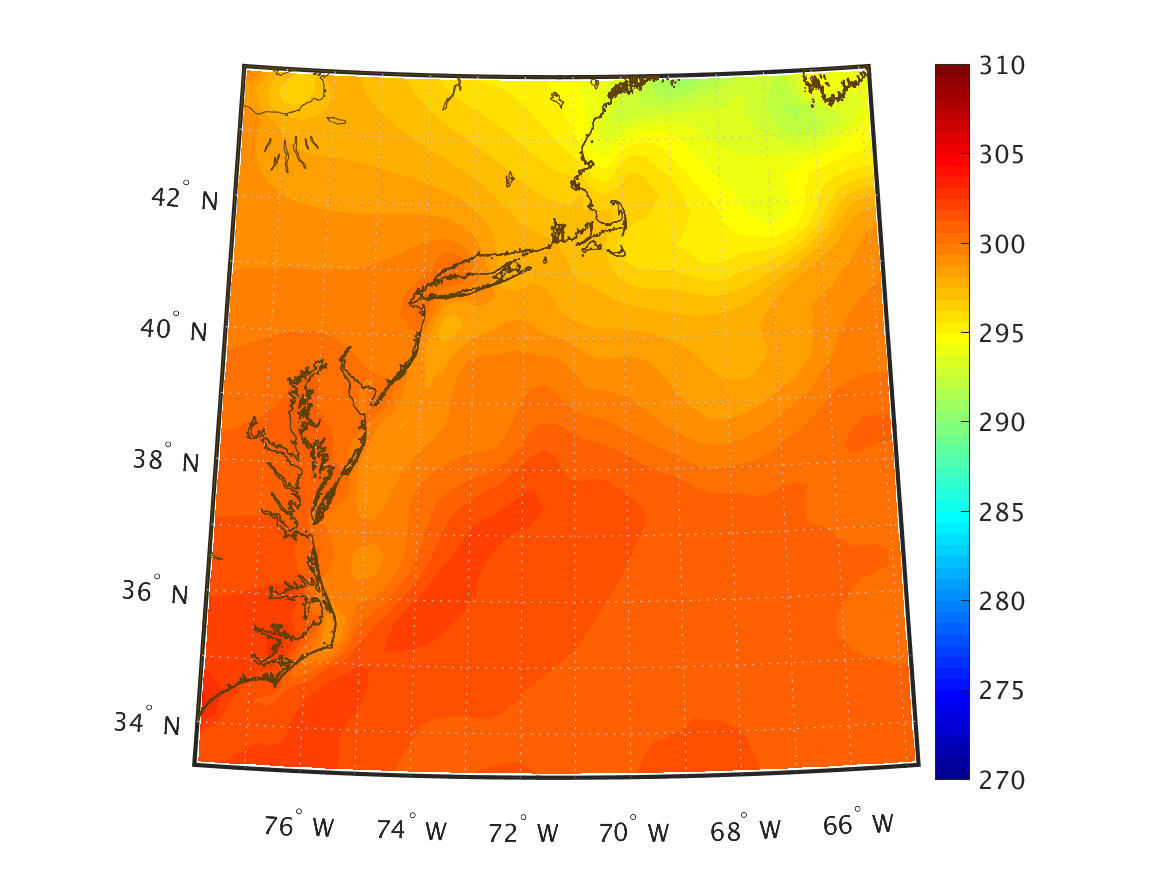
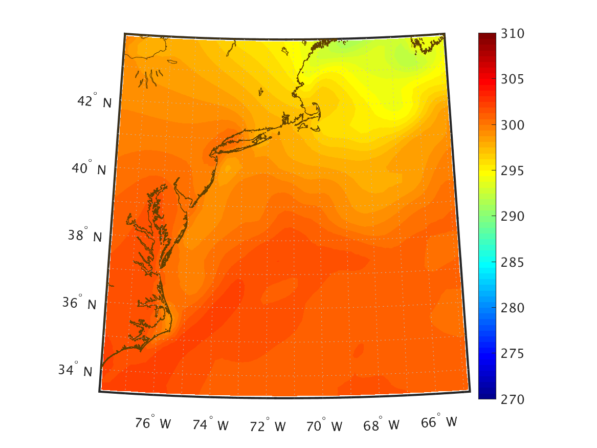
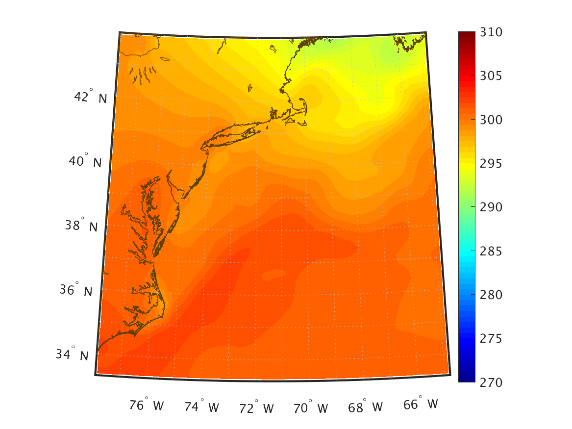
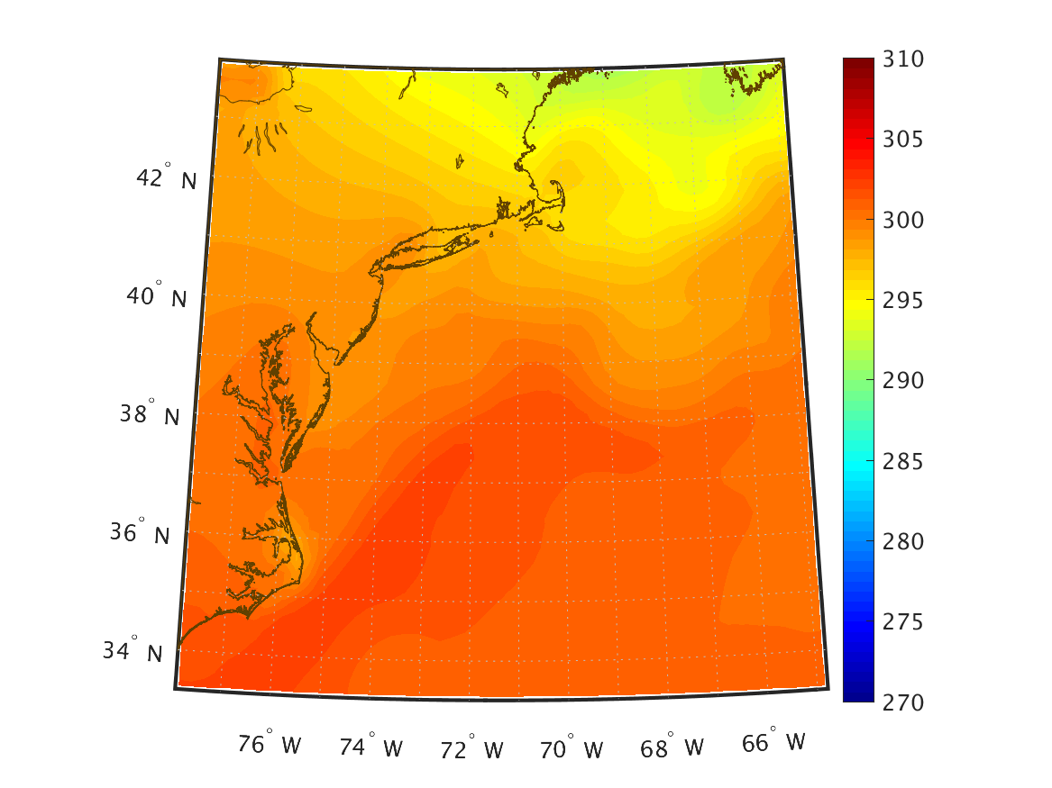
| Temperature (K) 2 m above ground |
|
|
|
|
|
|
|
|
|
|
|
|
|
|
|
|
|
|
|
|
|
|
|
|
|
|
|
|
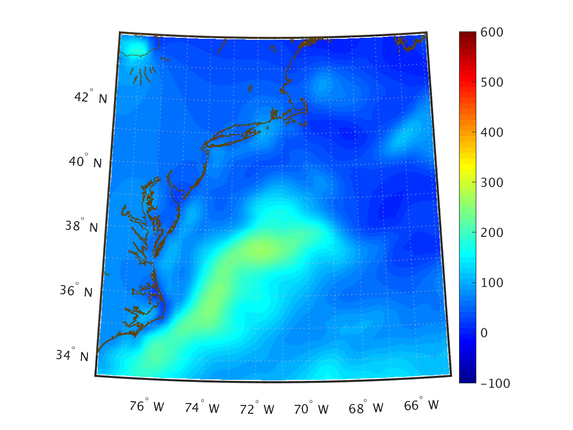
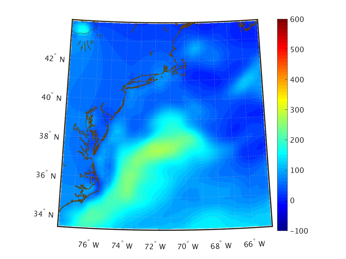
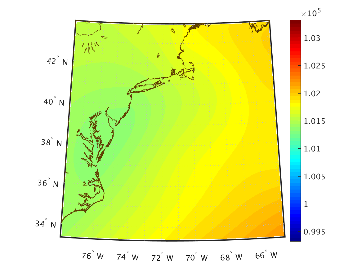
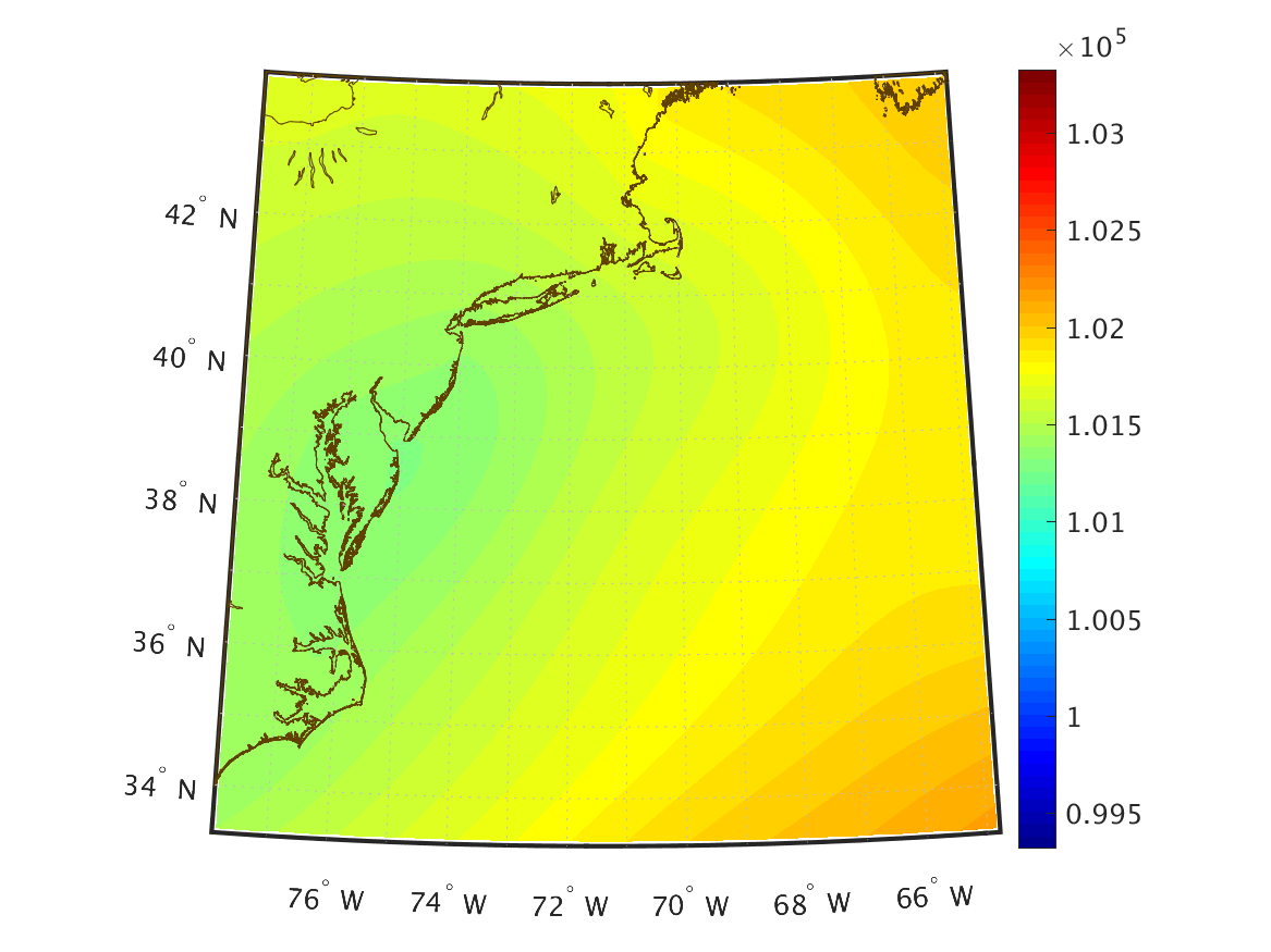
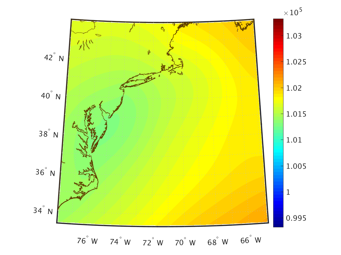
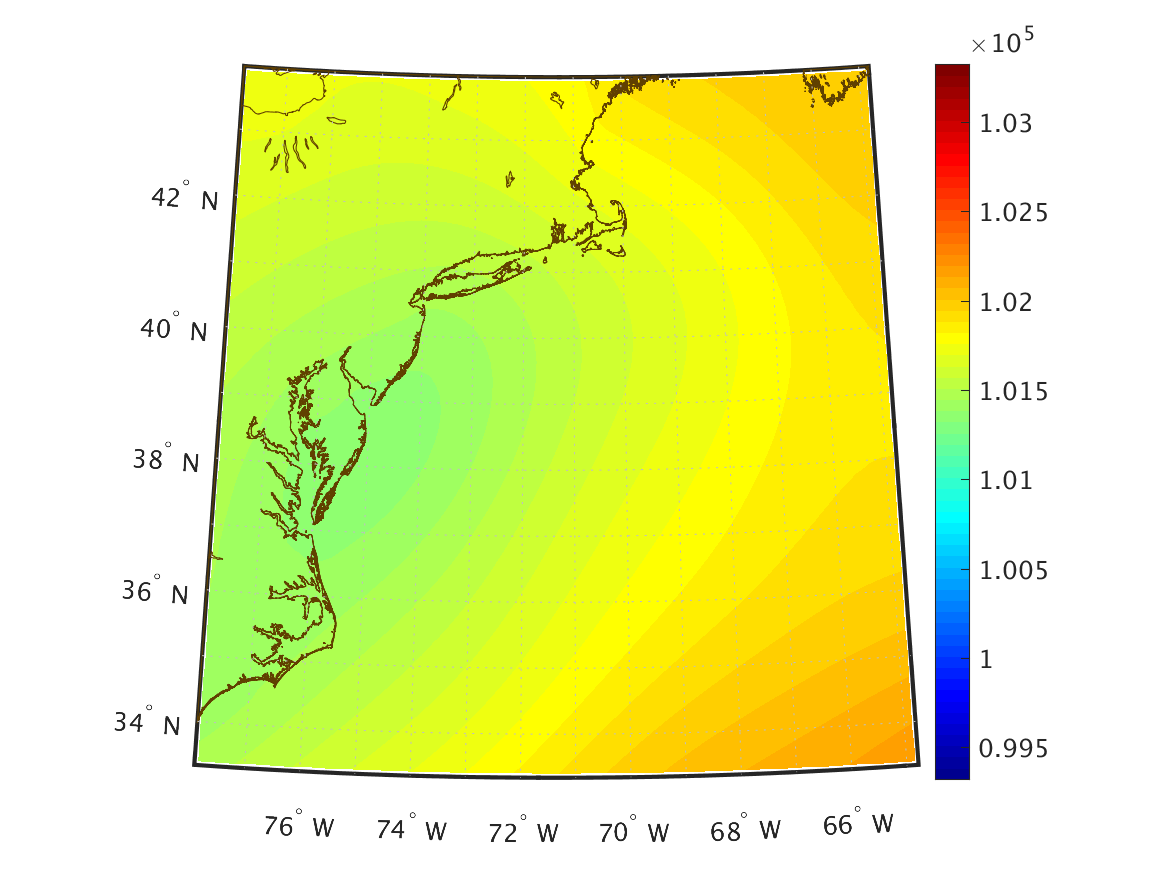
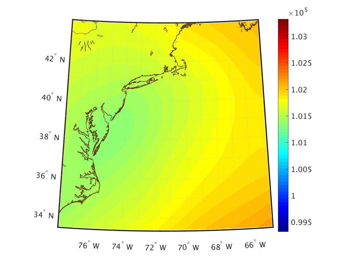
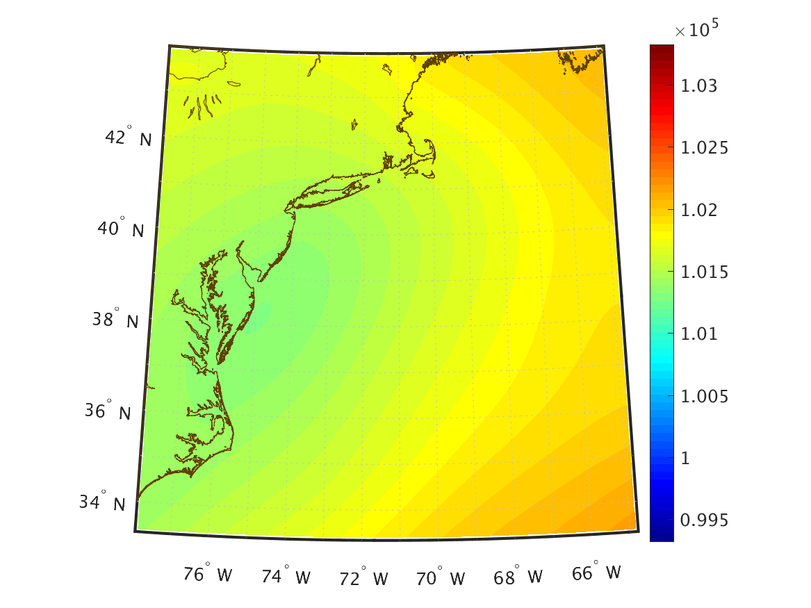
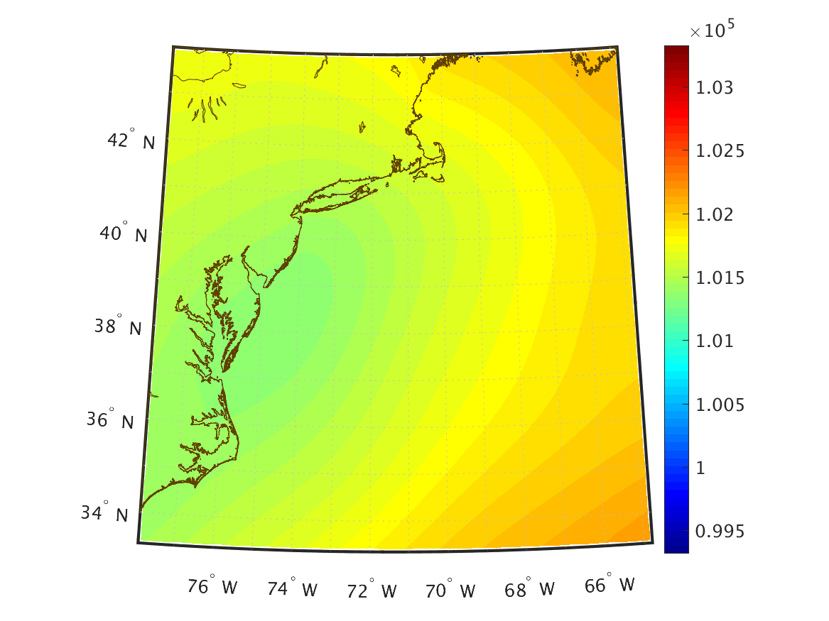
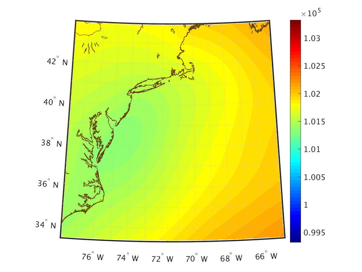
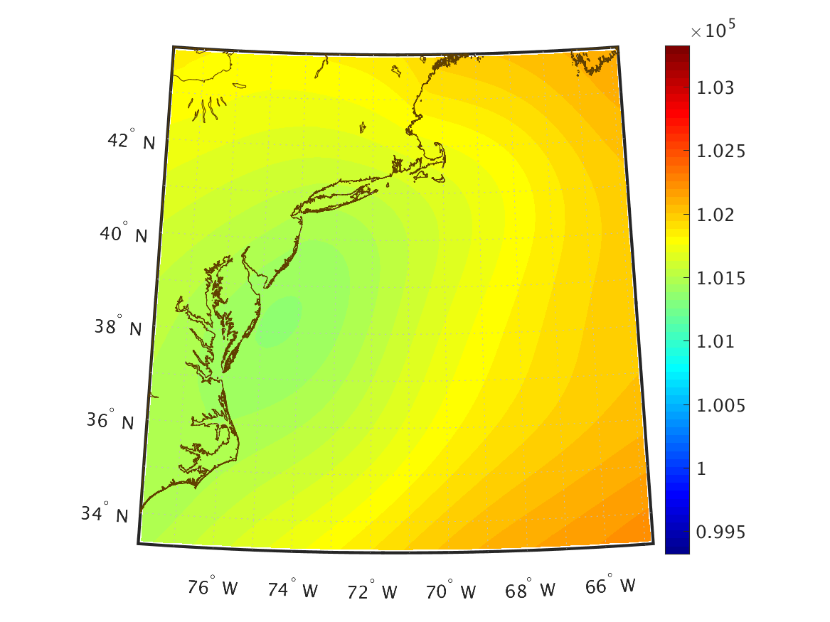
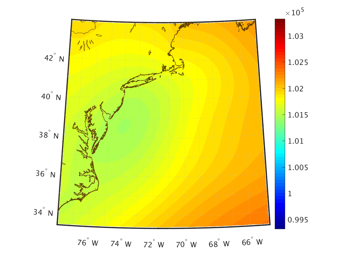
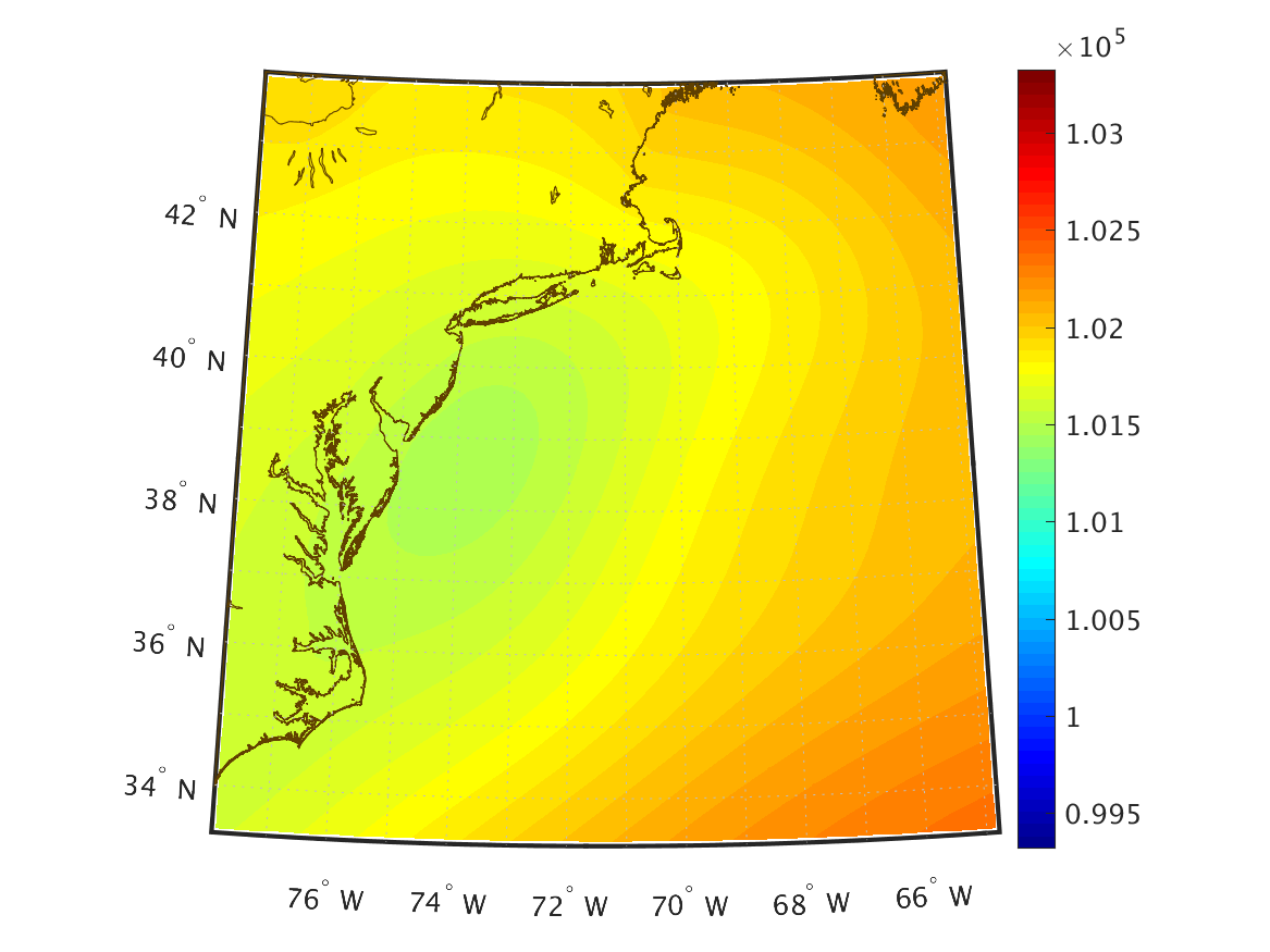
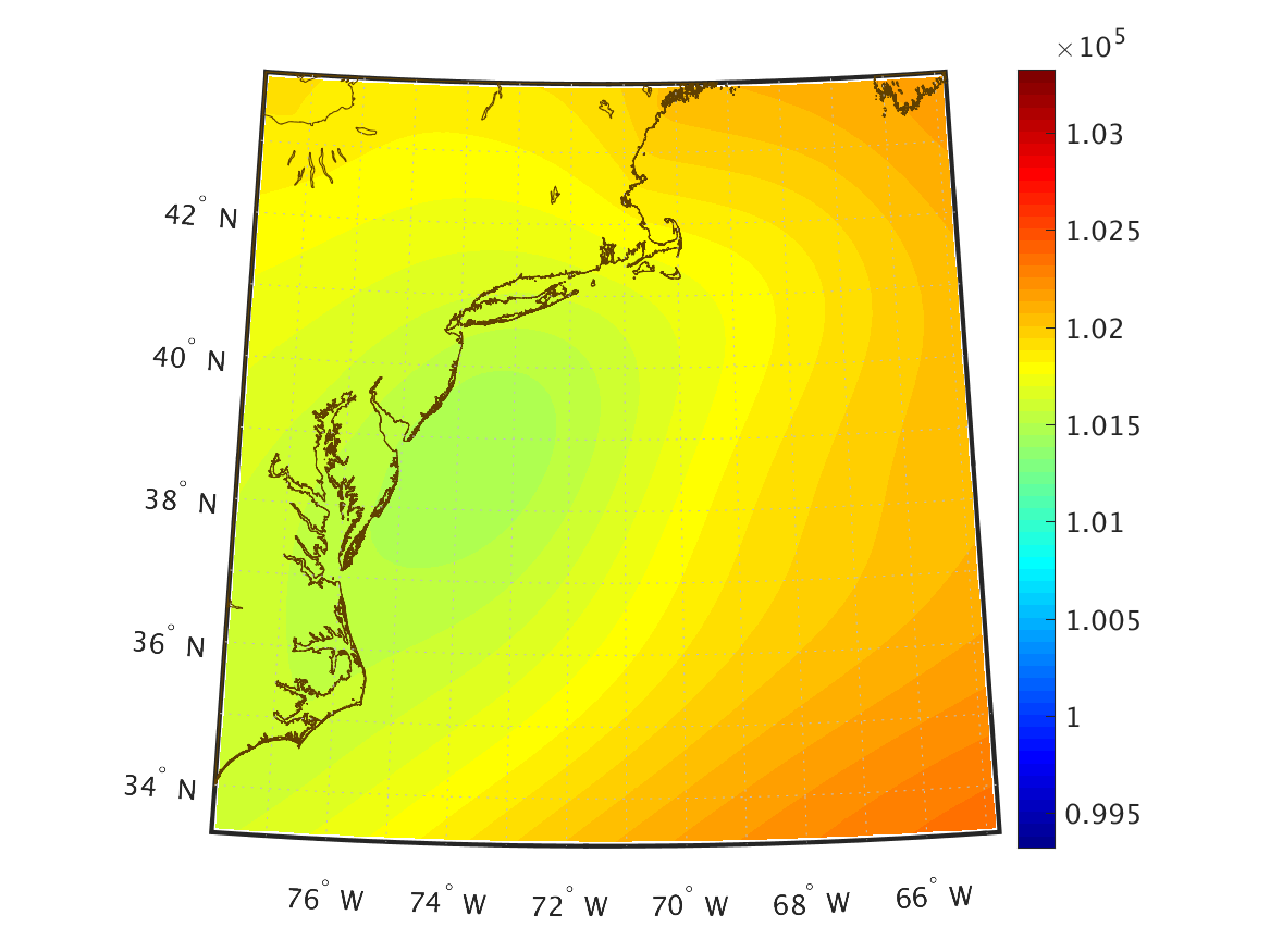
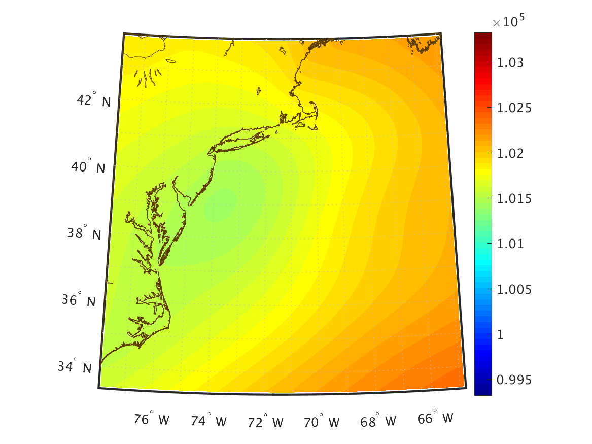
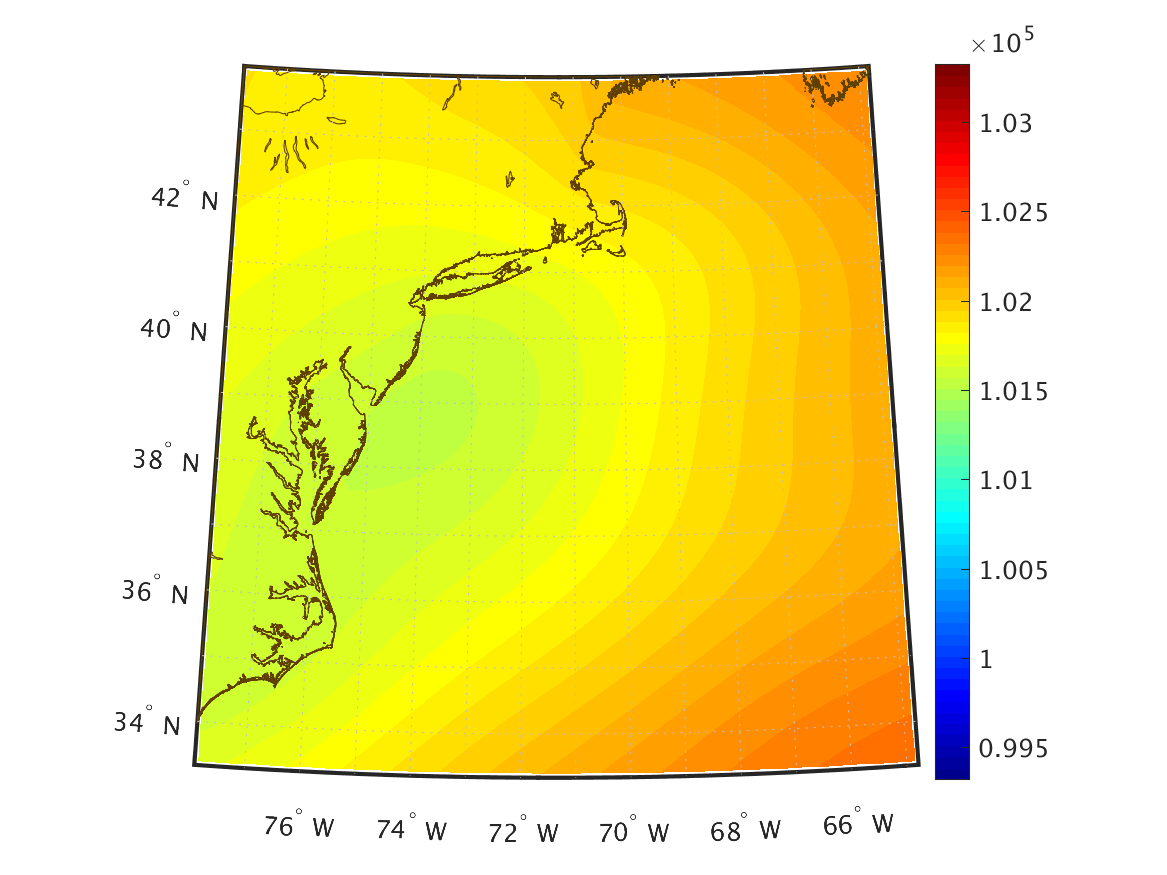
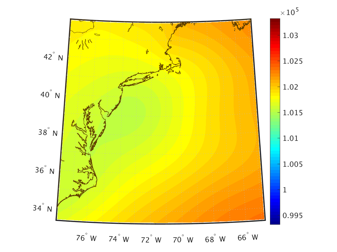
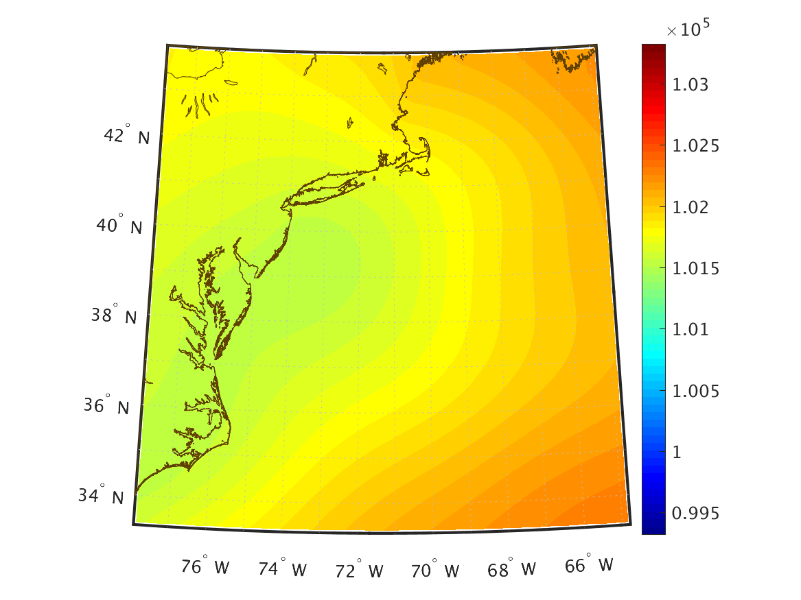
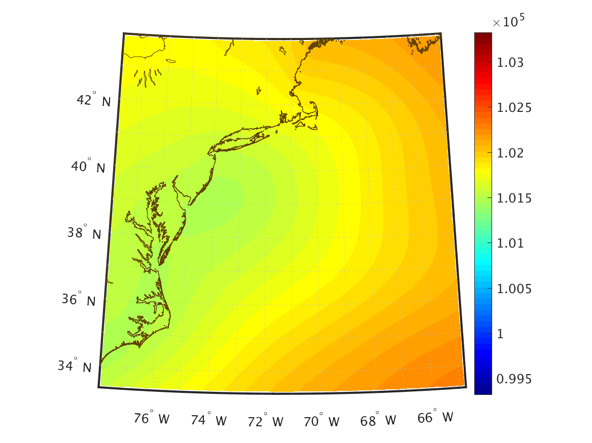
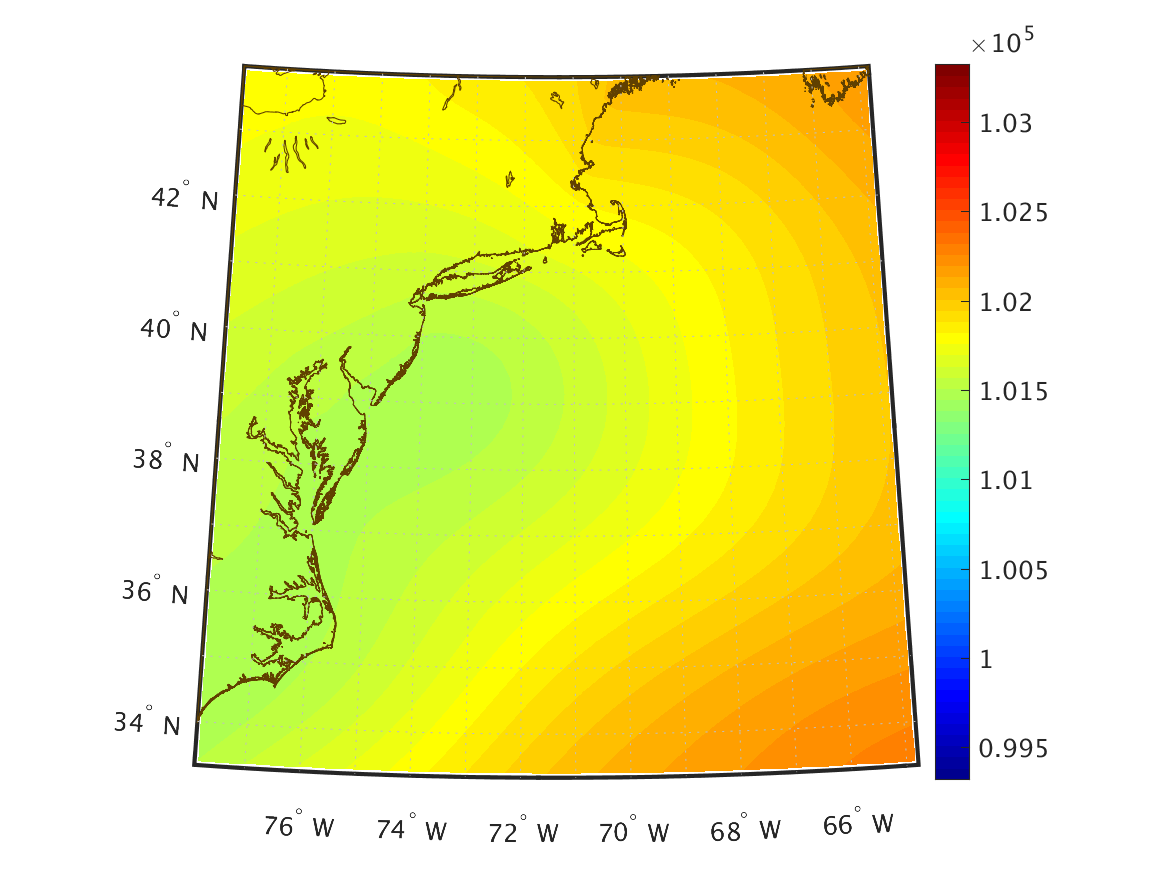
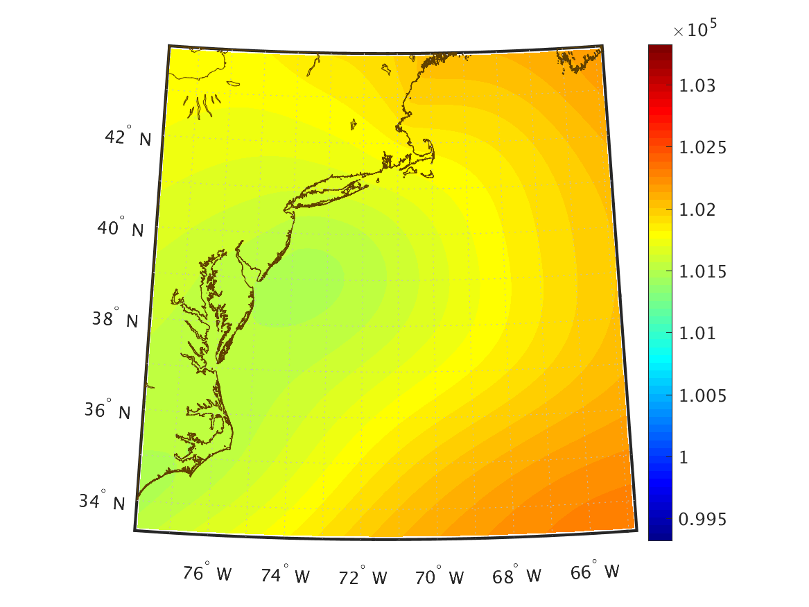
| Pressure (Pa) Mean Sea Level |
|
|
|
|
|
|
|
|
|
|
|
|
|
|
|
|
|
|
|
|
|
|
|
|
|
|
|
|
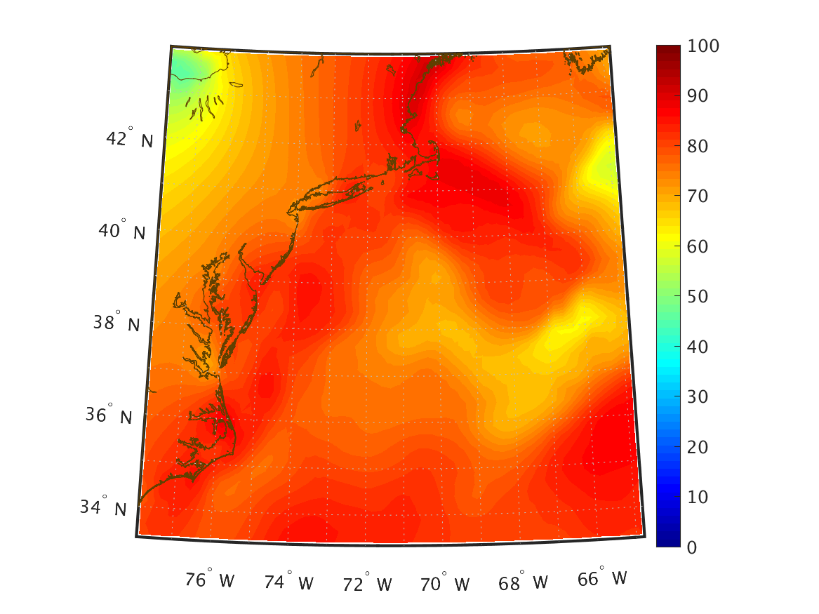
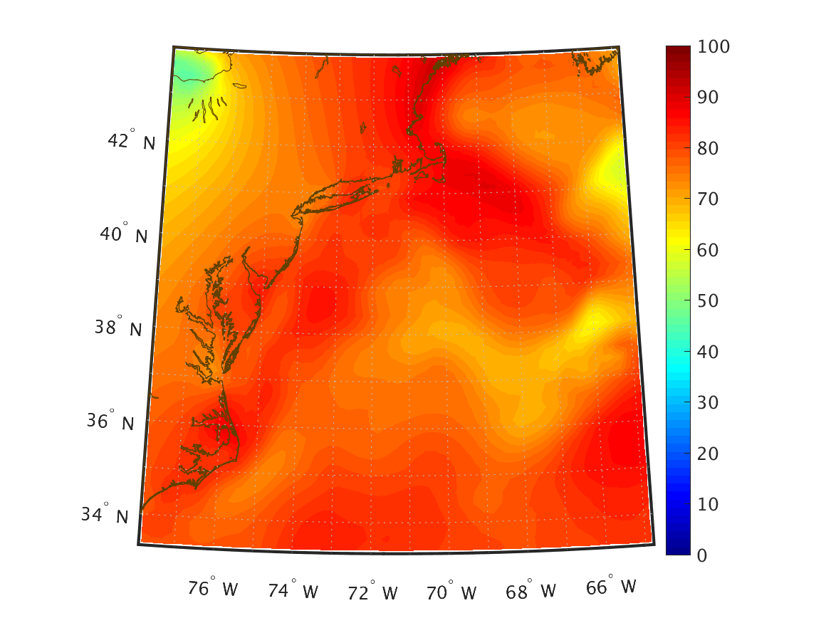
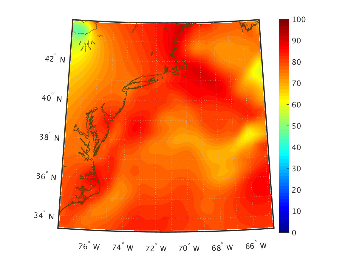
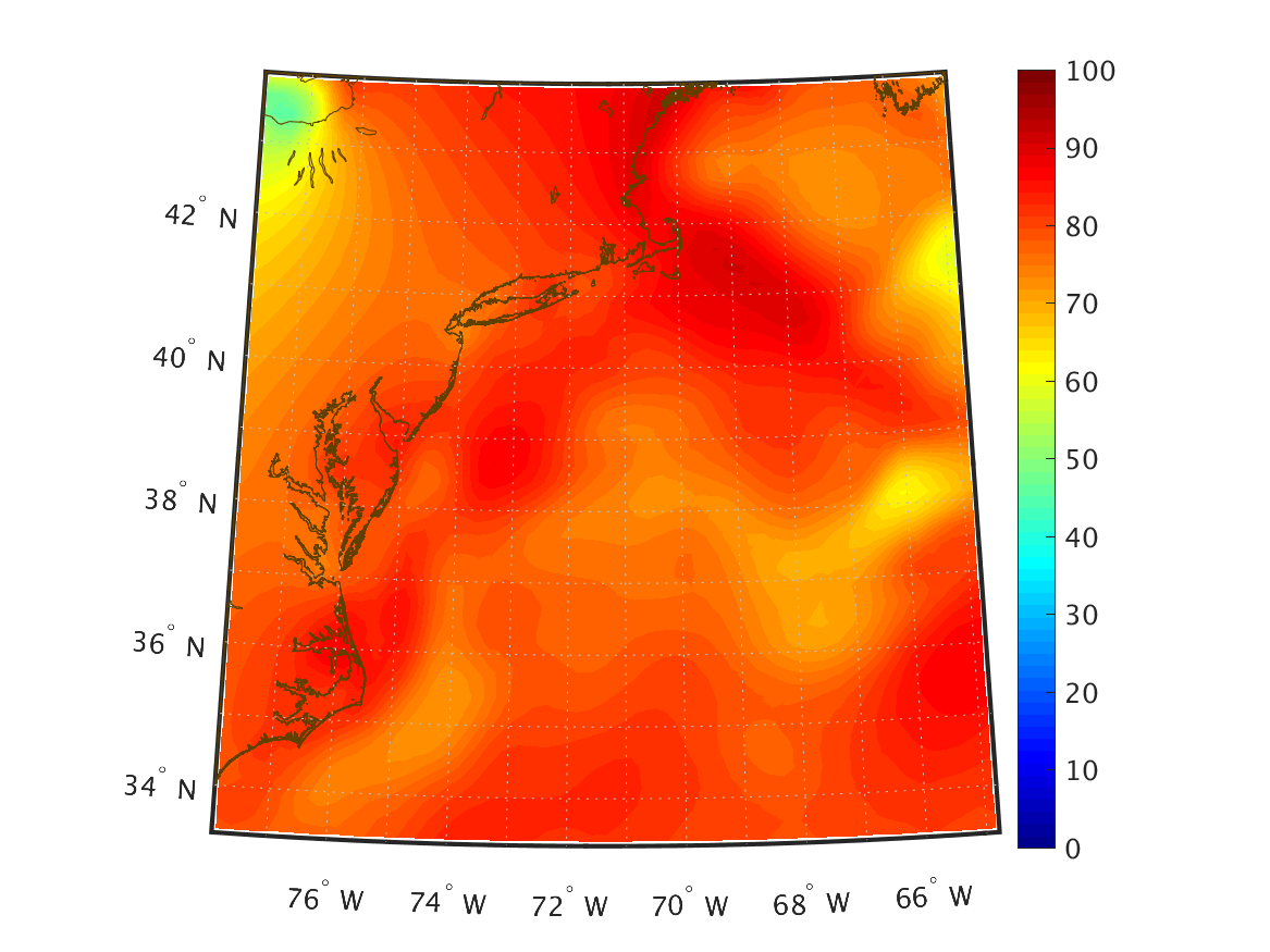
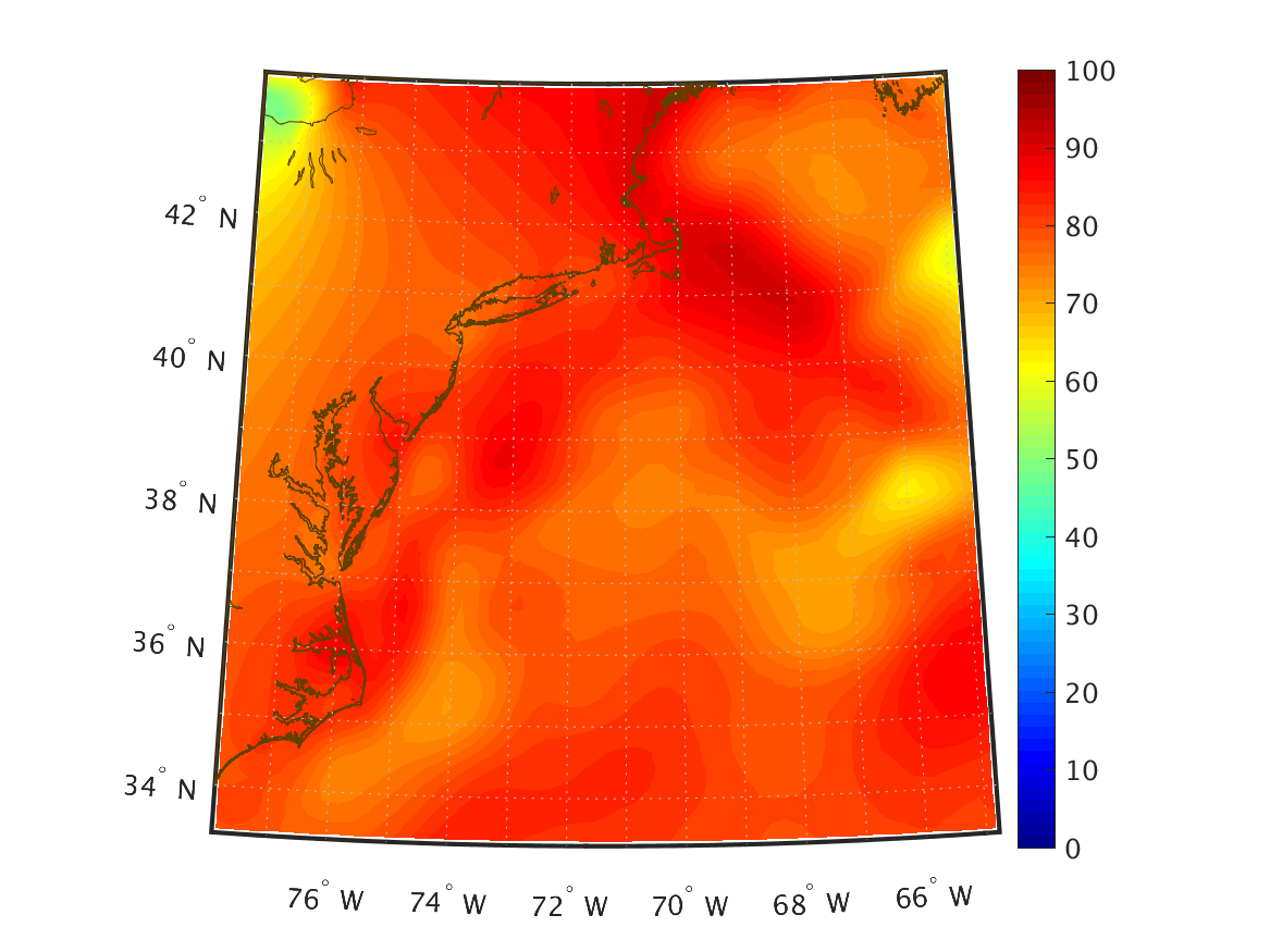
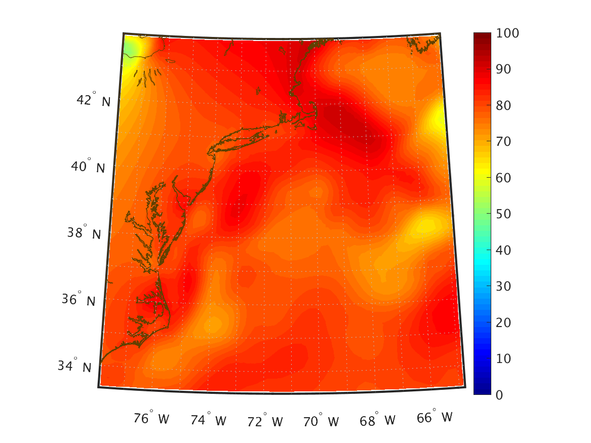
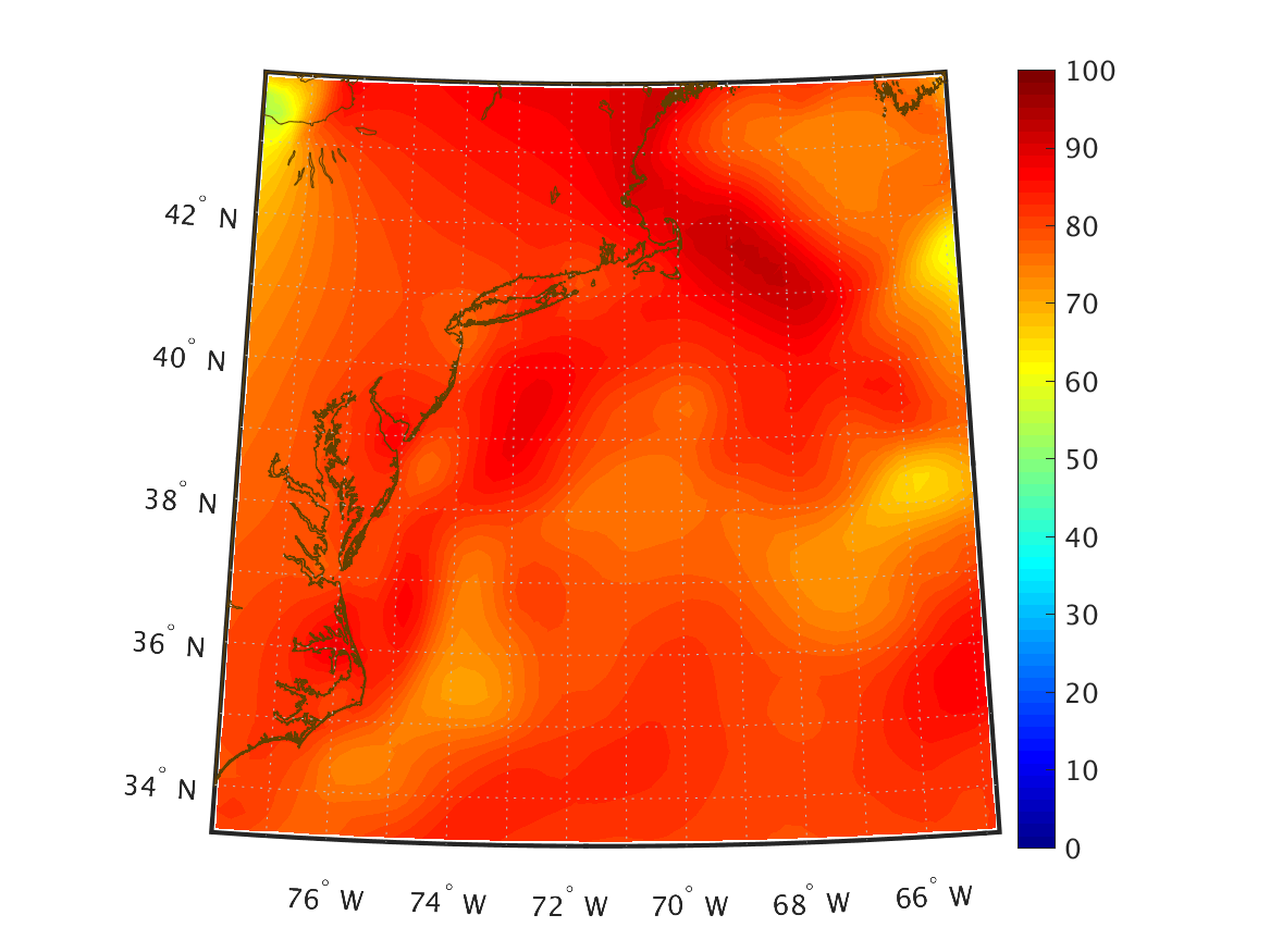
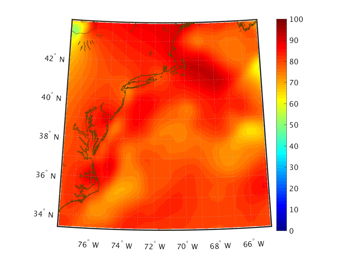
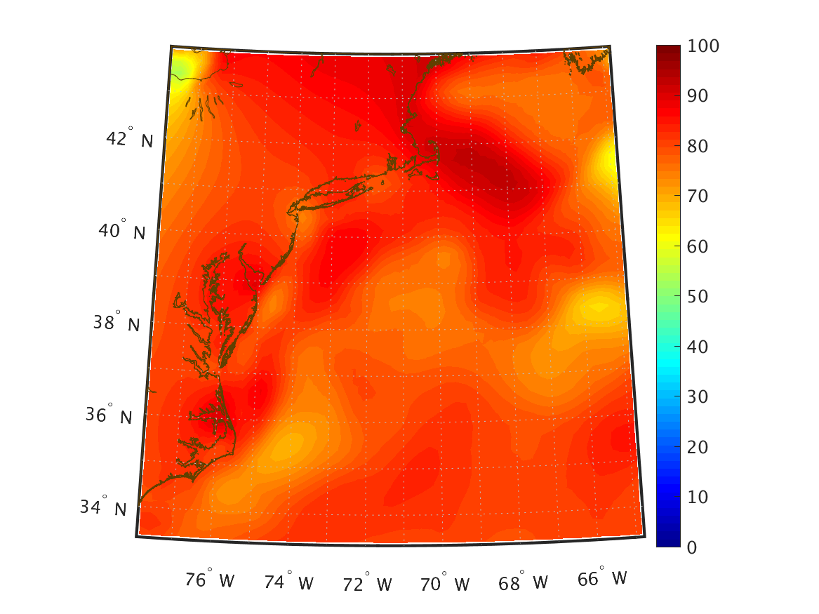
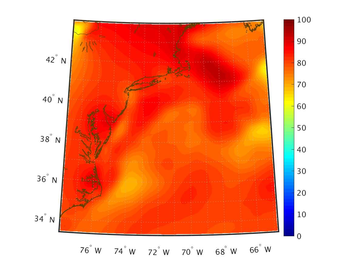
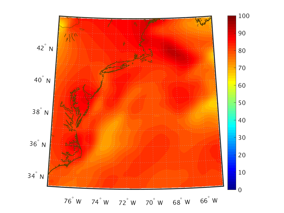
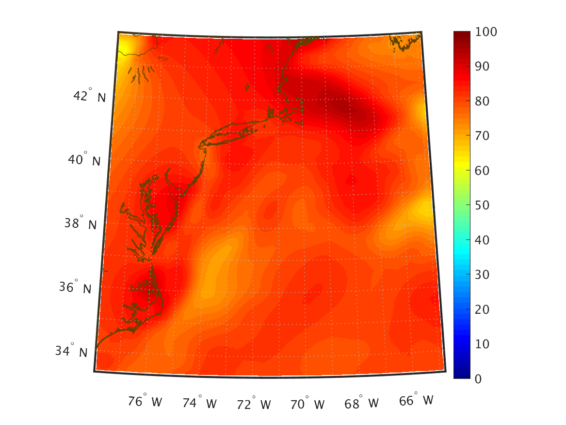
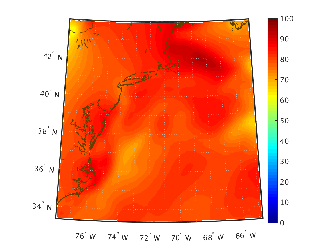
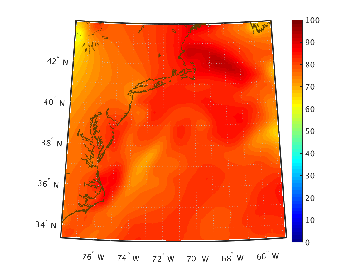
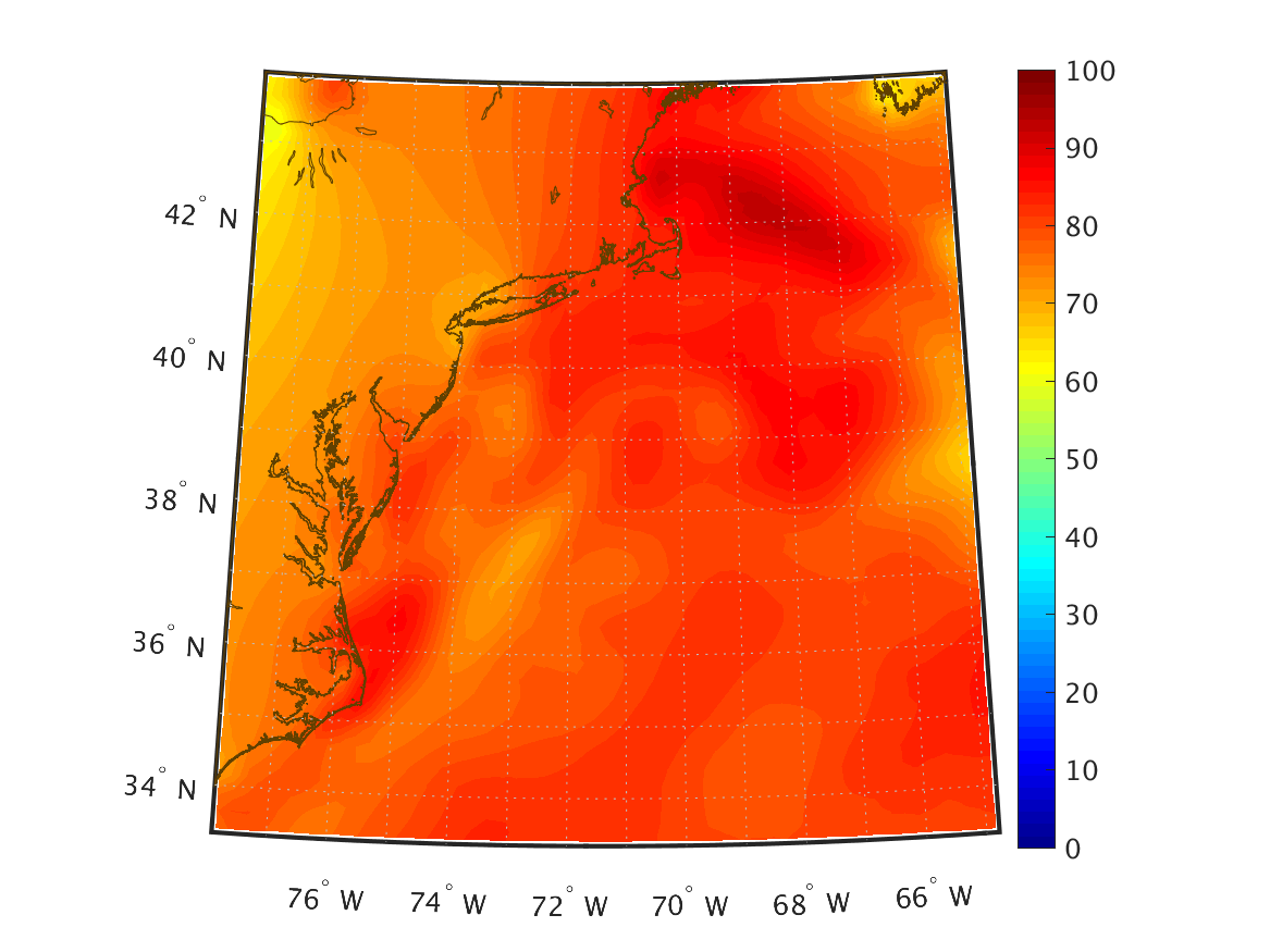
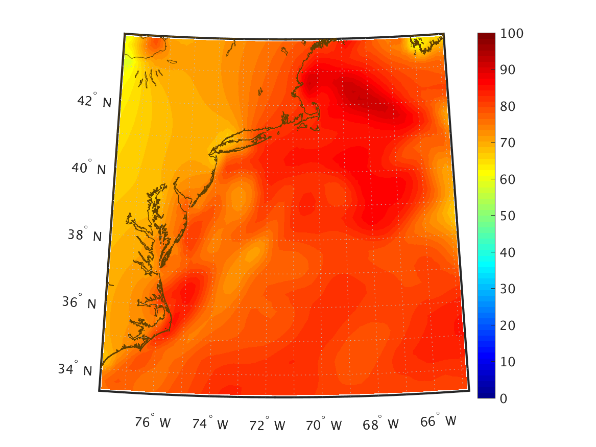
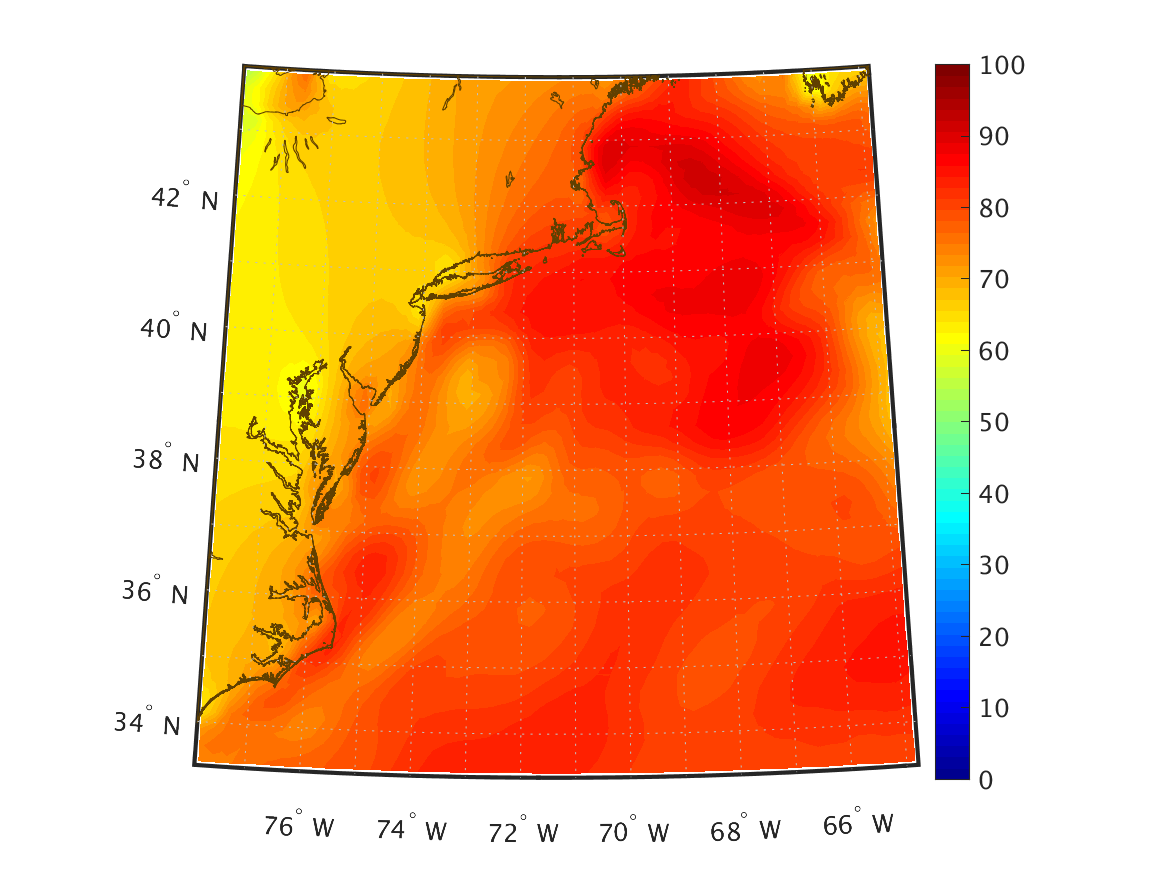
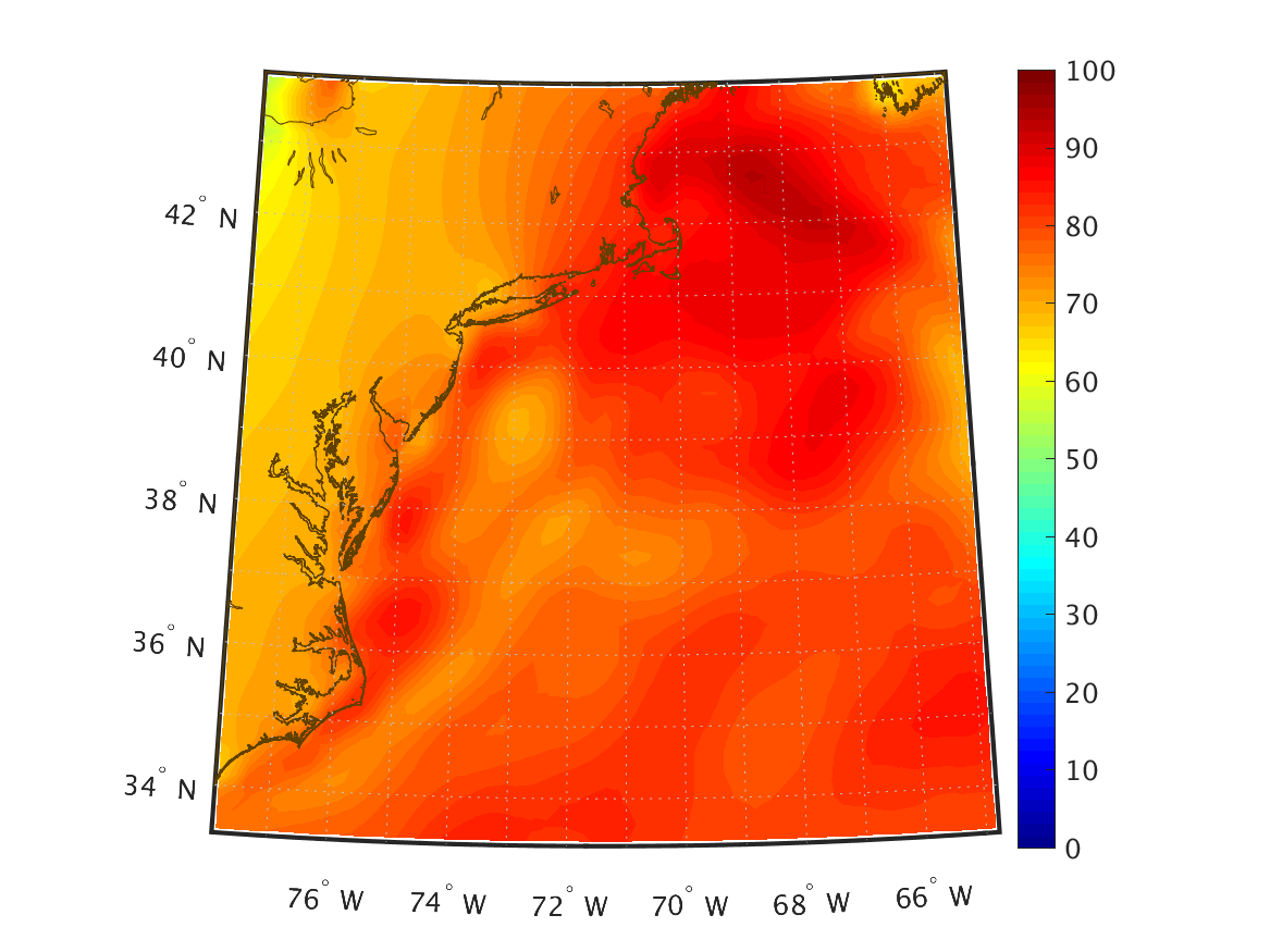
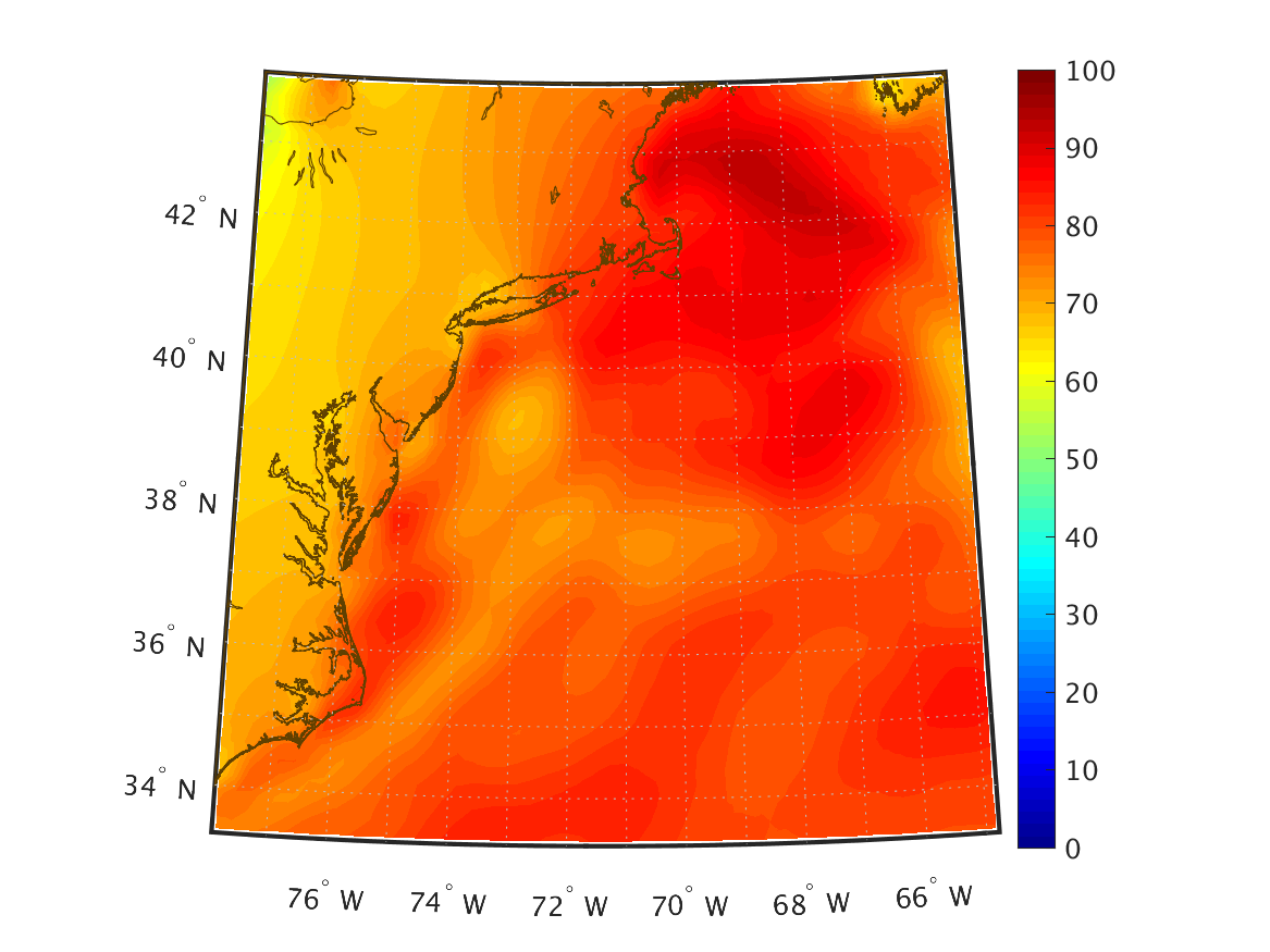
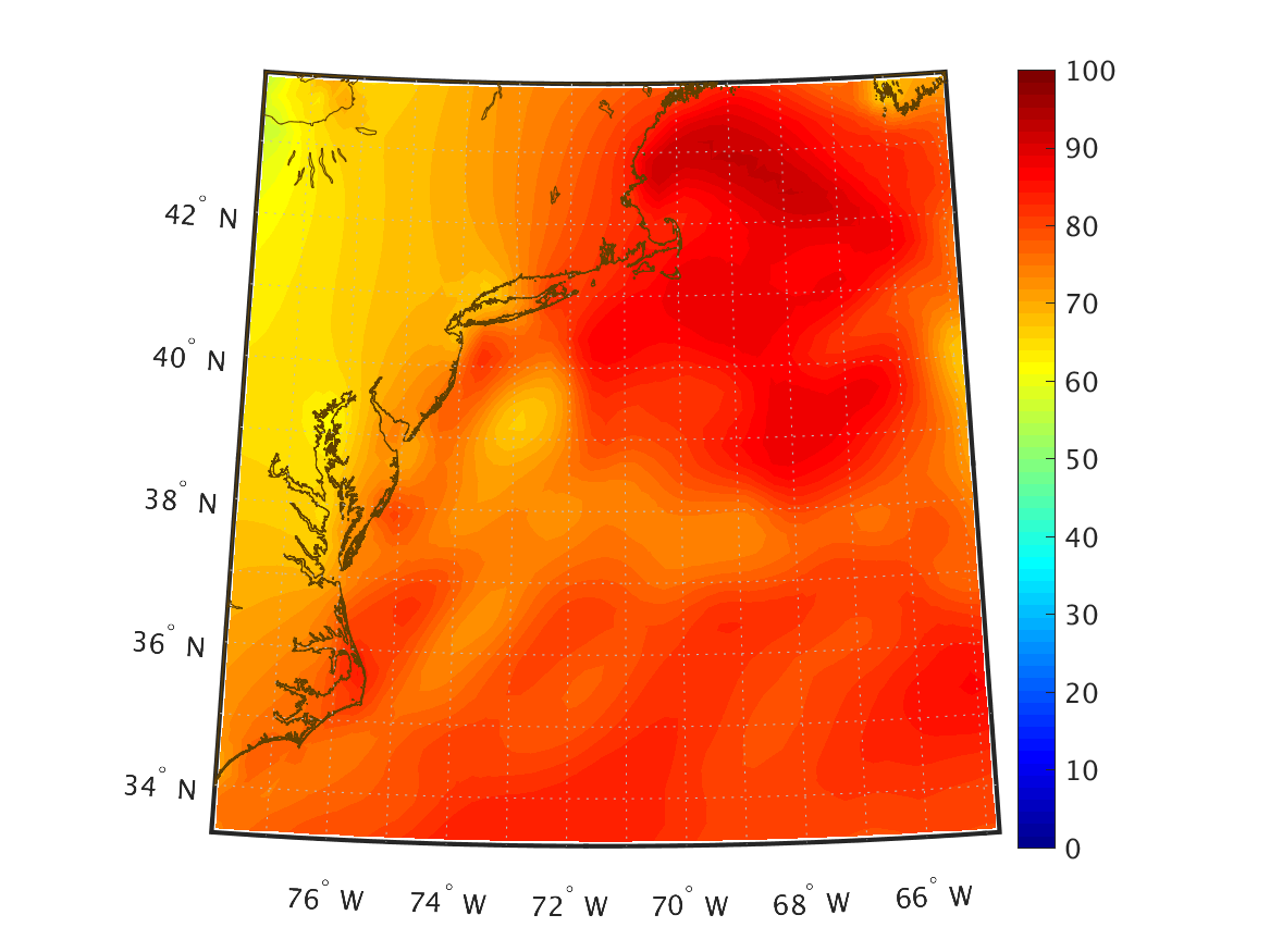
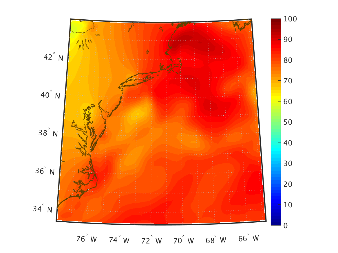
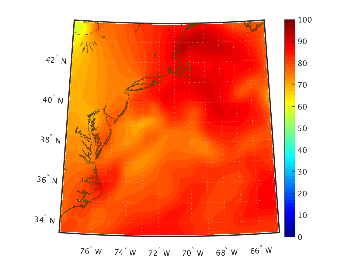
| Relative Humidity (%) 2 m above ground |
|
|
|
|
|
|
|
|
|
|
|
|
|
|
|
|
|
|
|
|
|
|
|
|
|
|
|
|
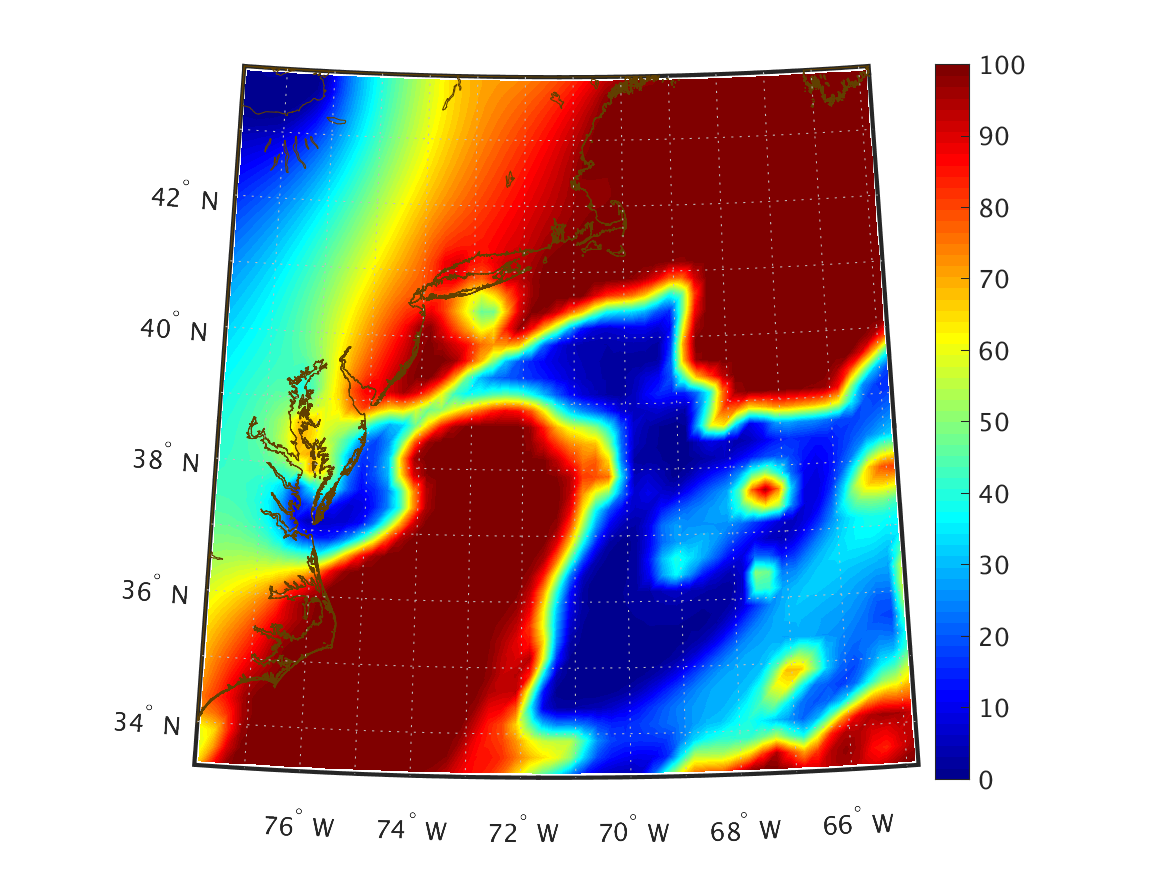
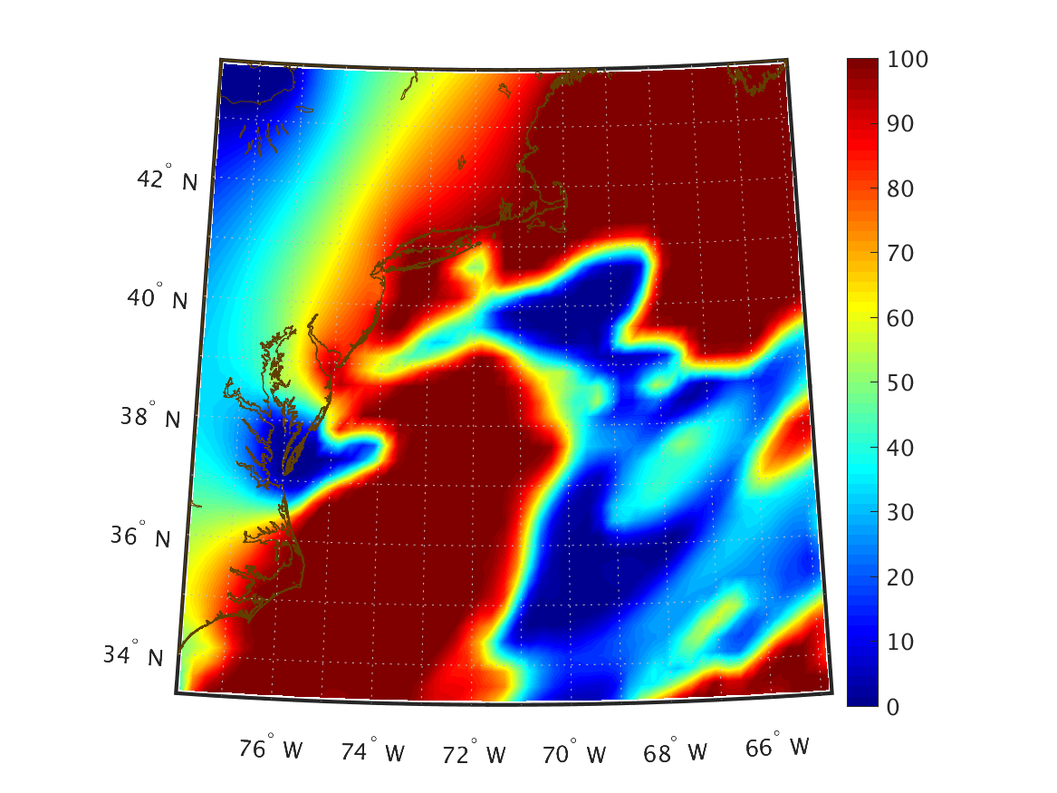
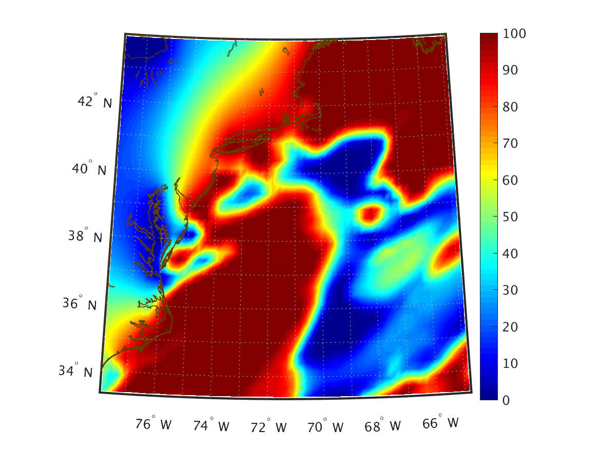
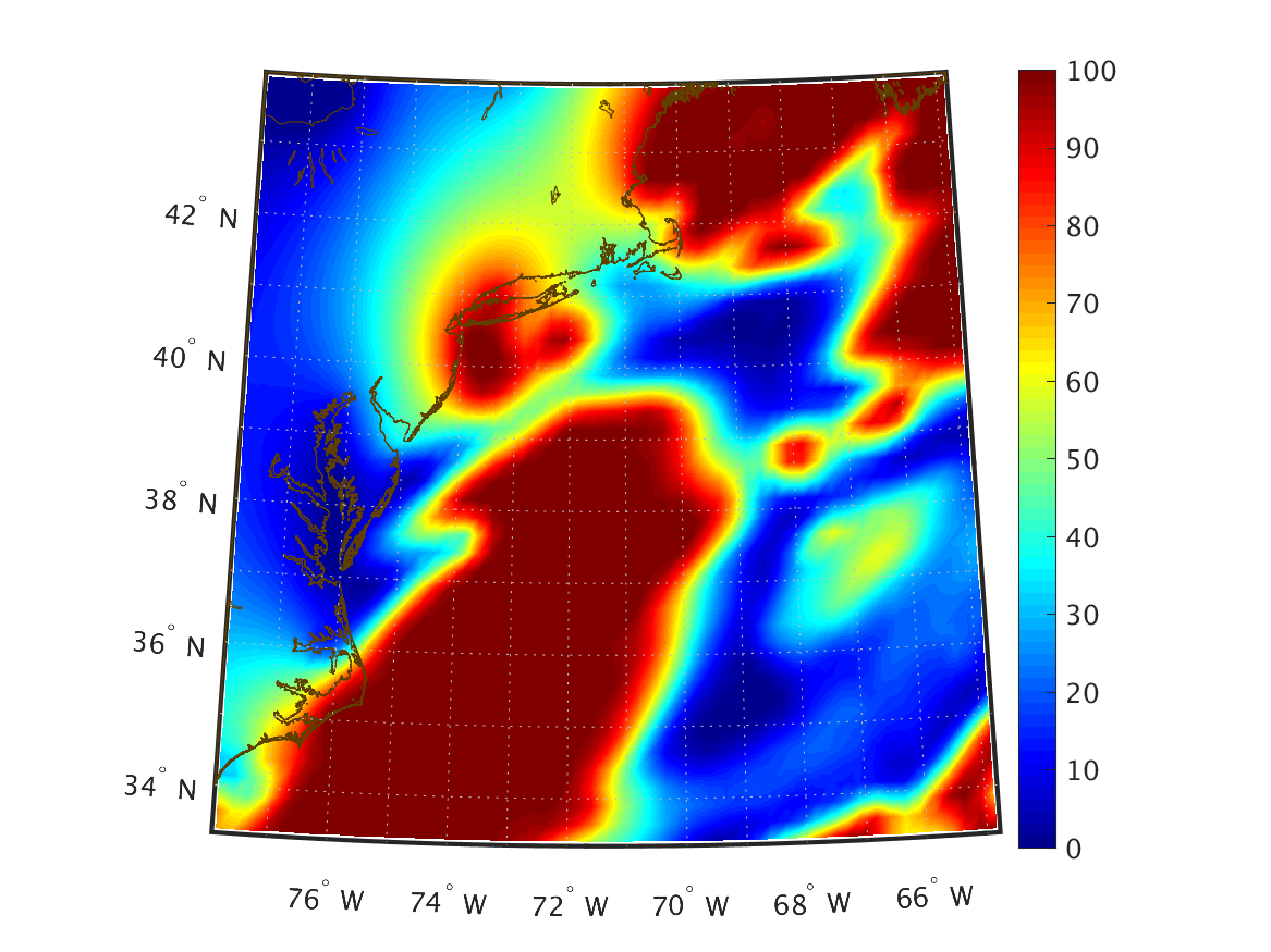
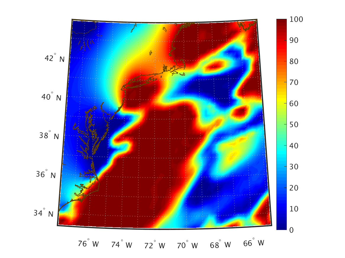
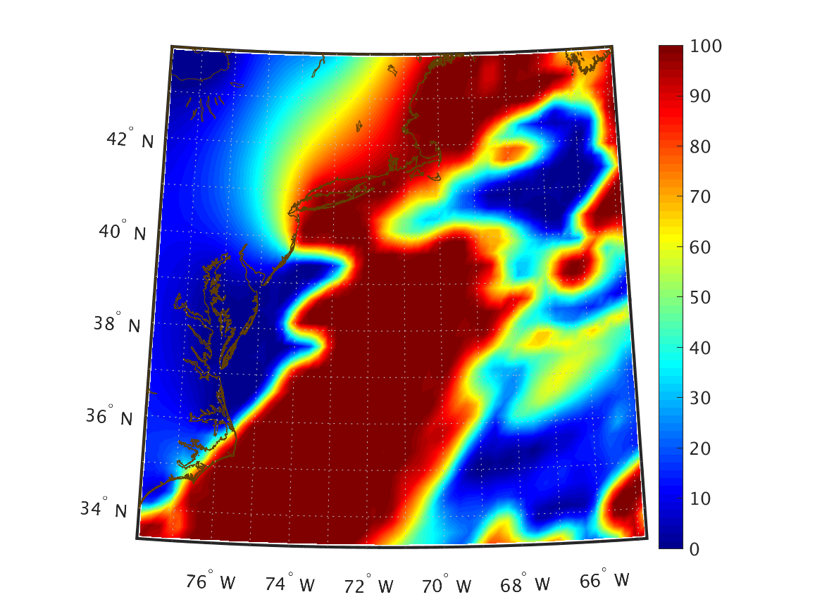
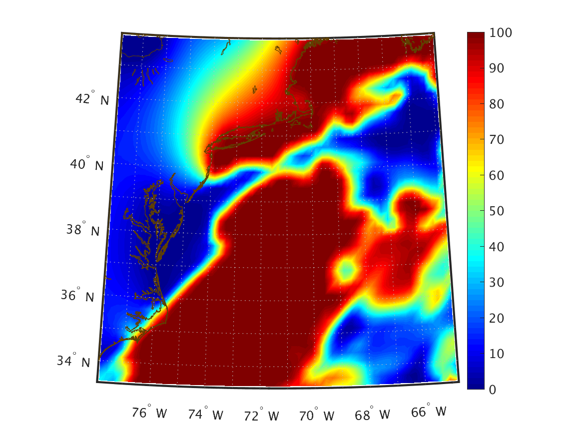
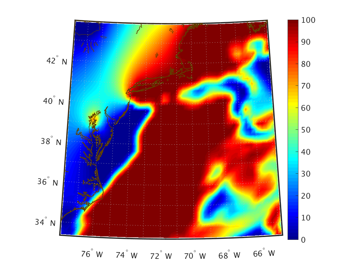
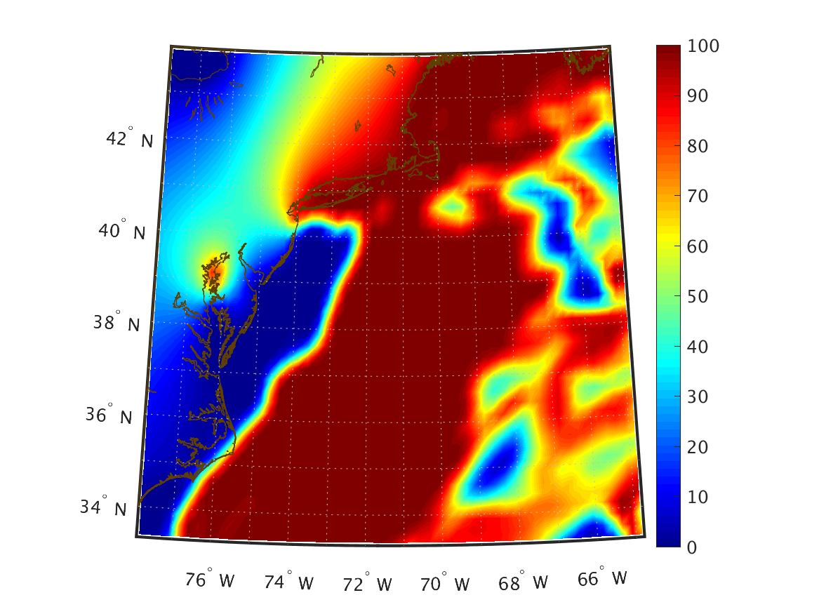
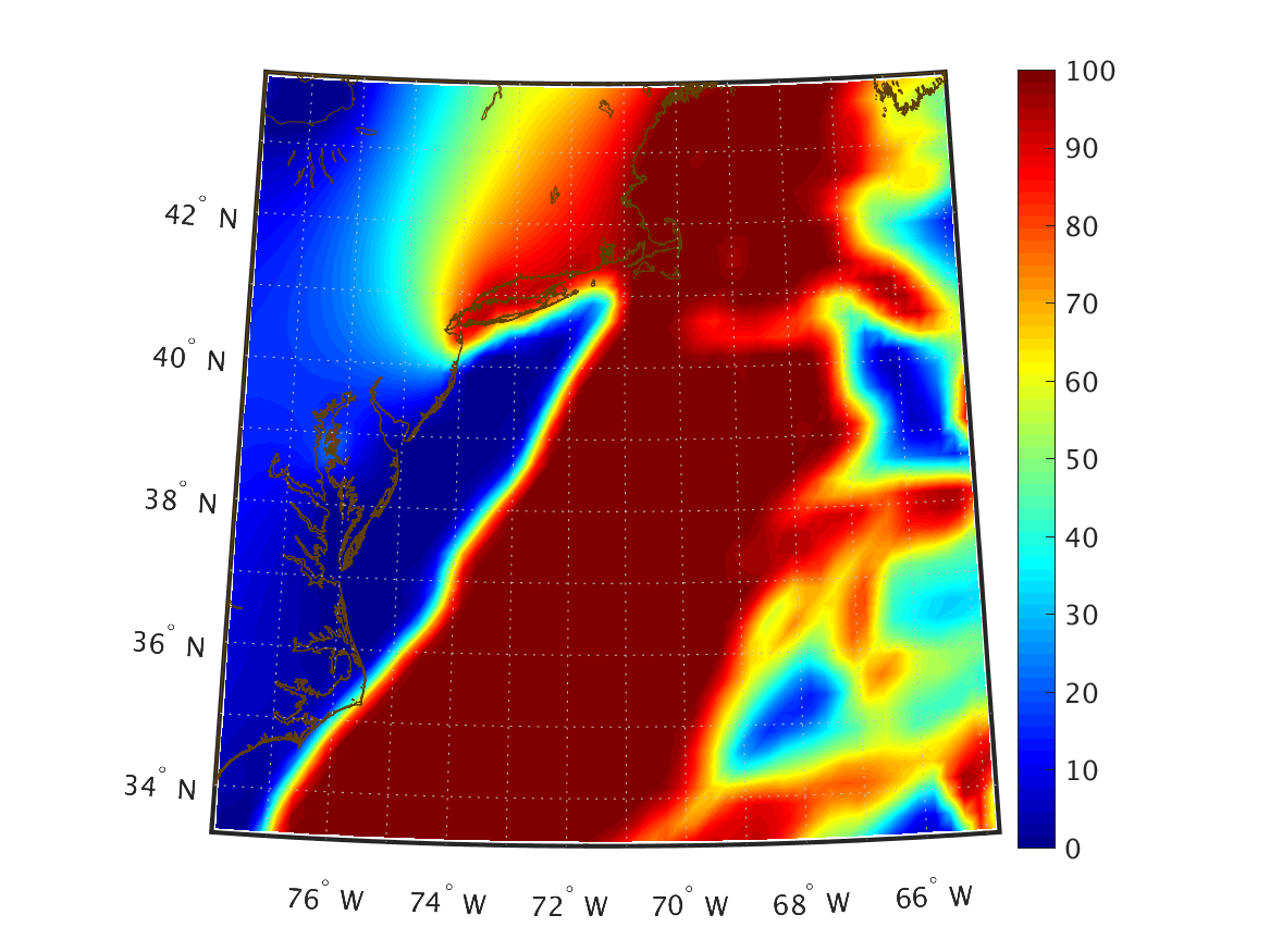
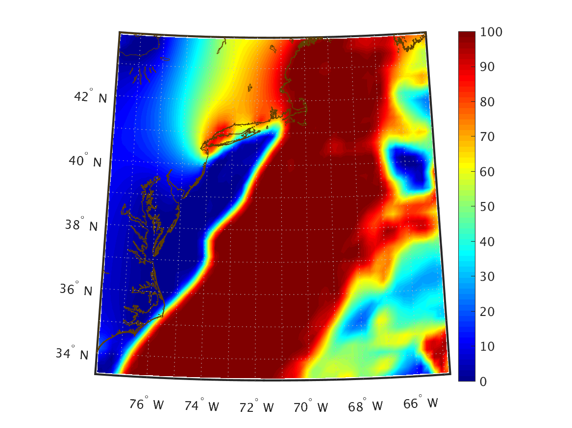
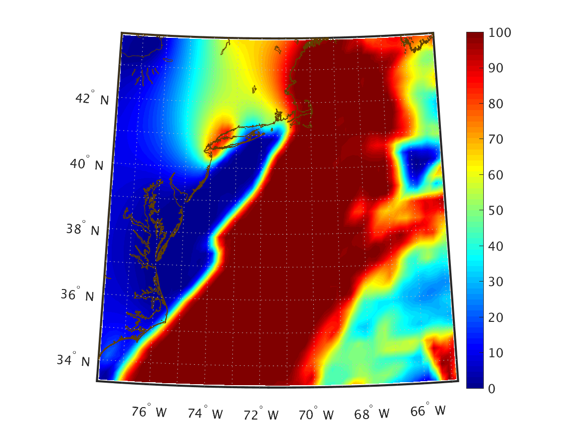
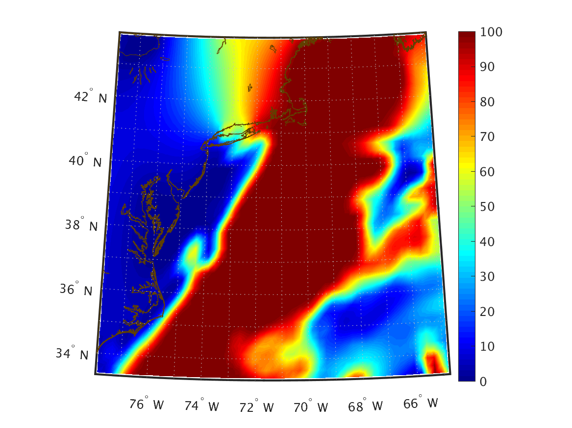
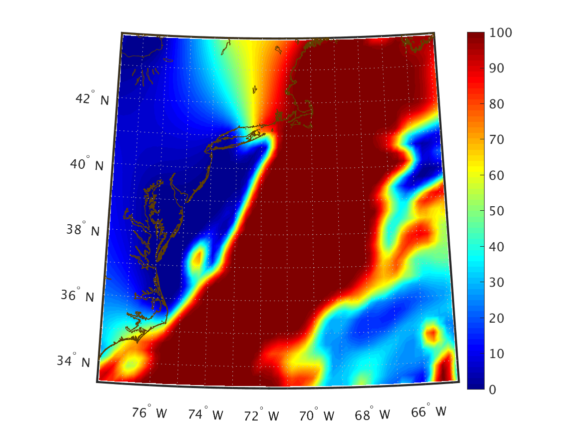
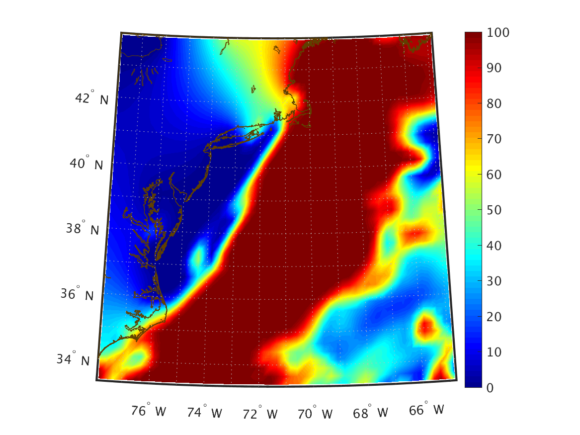
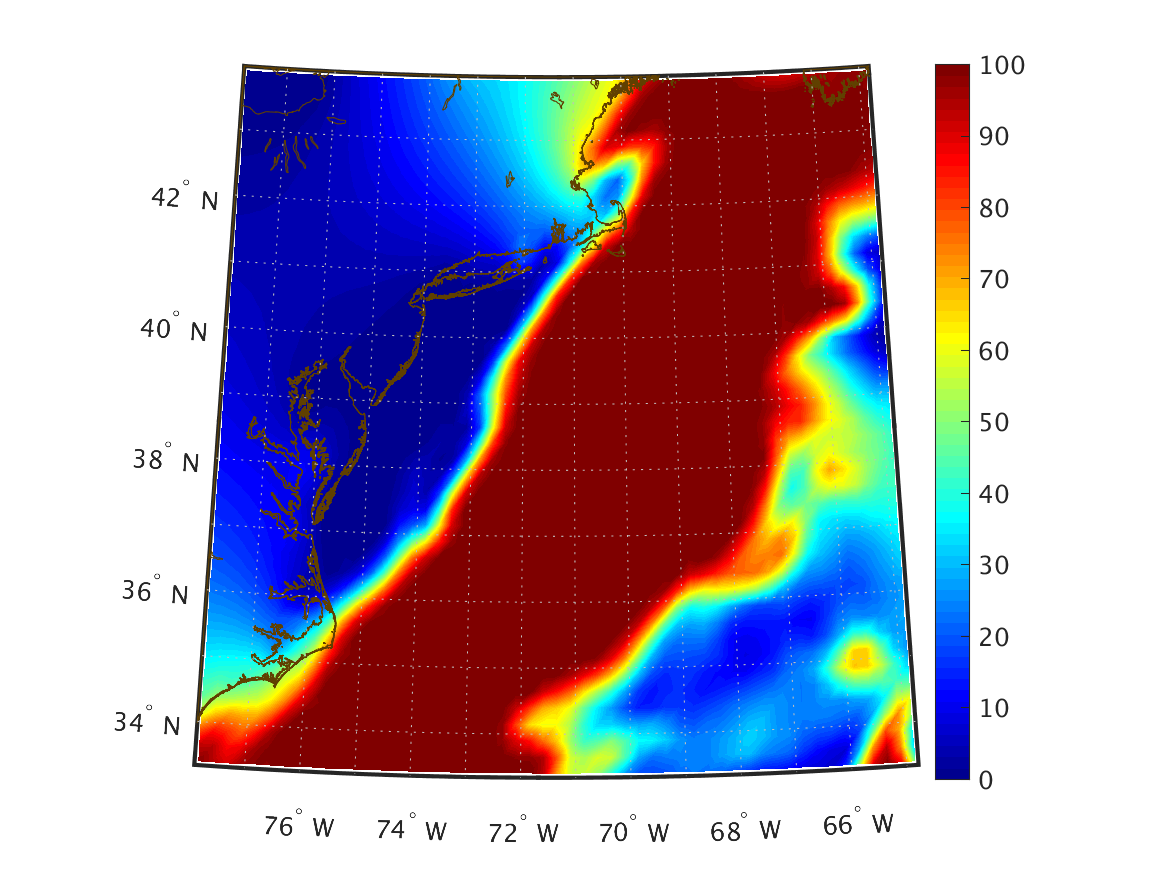
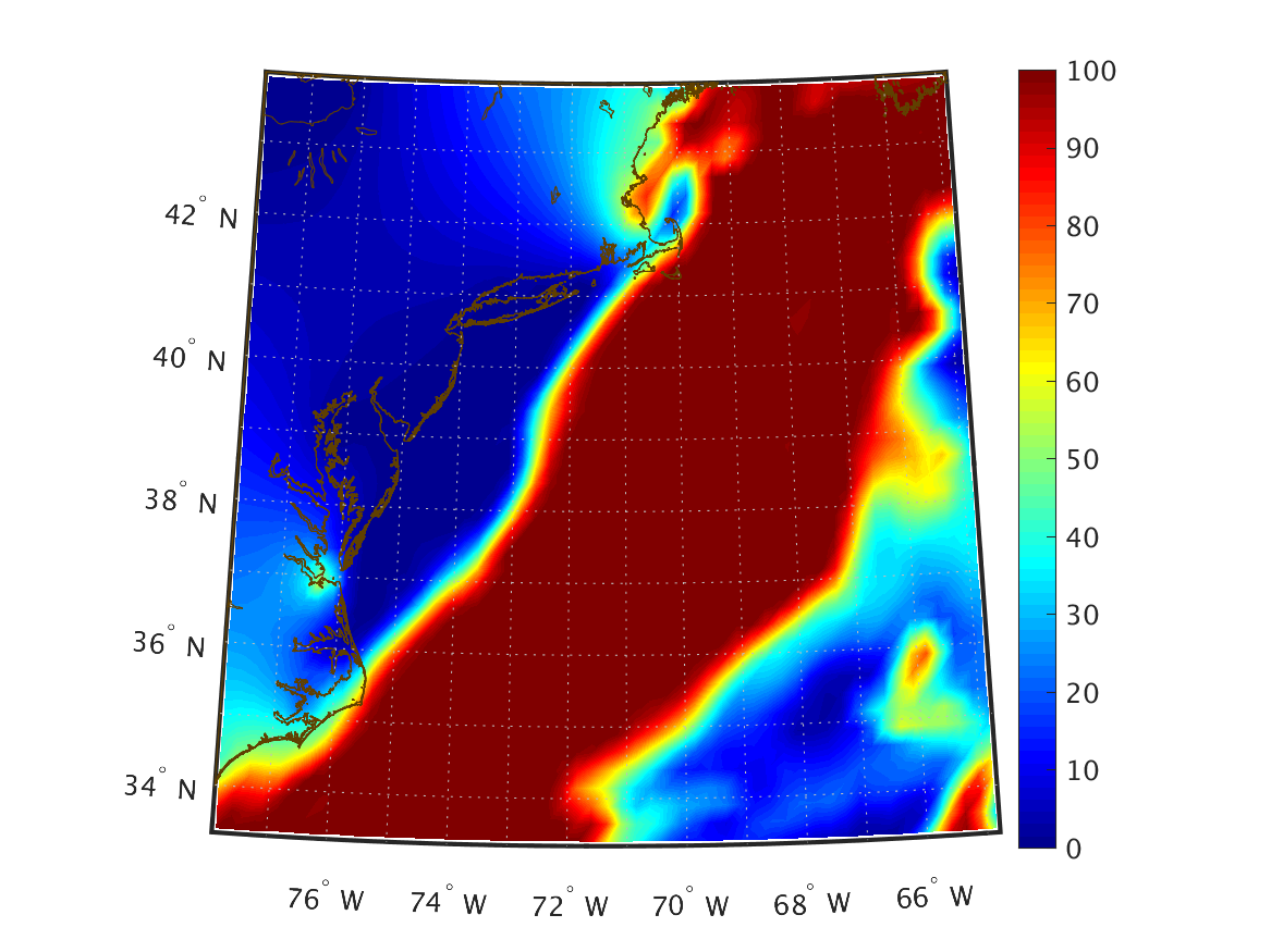
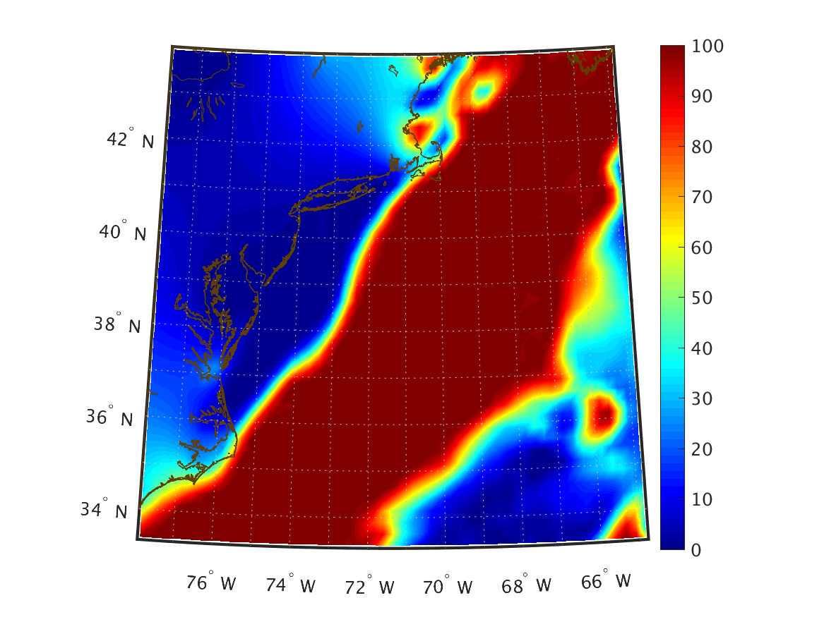
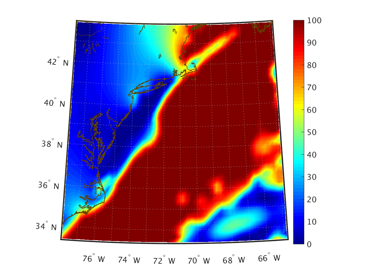
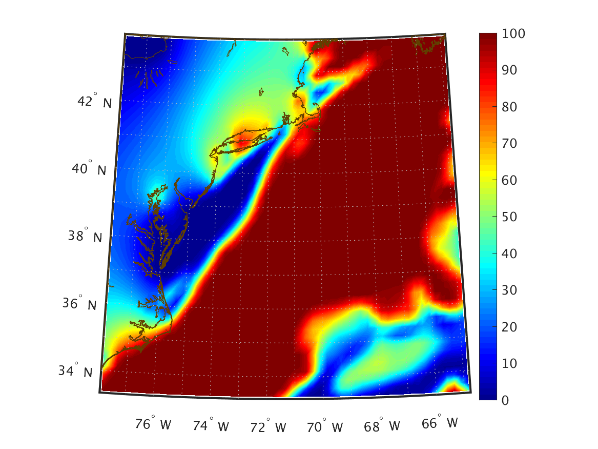
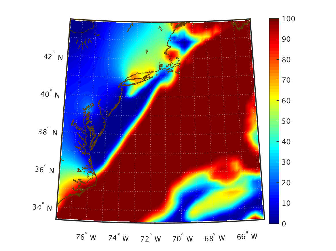
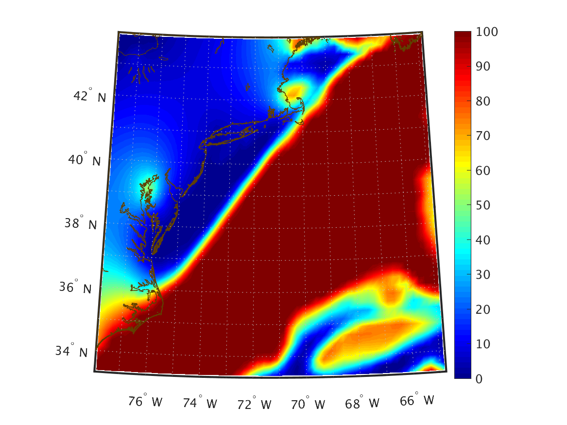
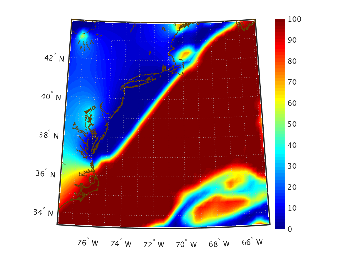
| Total Cloud Cover (%) over the entire atmosphere |
|
|
|
|
|
|
|
|
|
|
|
|
|
|
|
|
|
|
|
|
|
|
|
|
|
|
|
|