Mid-Atlantic/New York Bight Region - May 2018
|
P.F.J. Lermusiaux, P.J. Haley, C. Mirabito, W. Ali, A. Gupta, J. Coulin Massachusetts Institute of Technology Center for Ocean Engineering Mechanical Engineering Cambridge, Massachusetts
|
E. Dorfman, M. Goldsmith, A. Kofford, A. Laferriere, G. Shepard Raytheon BBN Technologies K. Heaney, J. Boyle OASIS, Inc. L. Freitag, A. Morozov Woods Hole Oceanographic Institution |
Real-time modeling Data sources |
|
 |
POSYDON-POINT Project Main Page
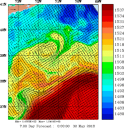
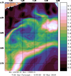
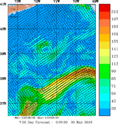
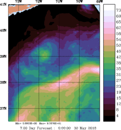
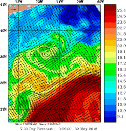
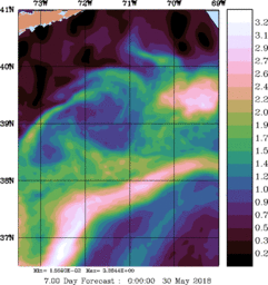
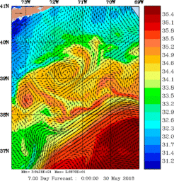
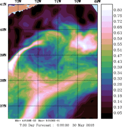
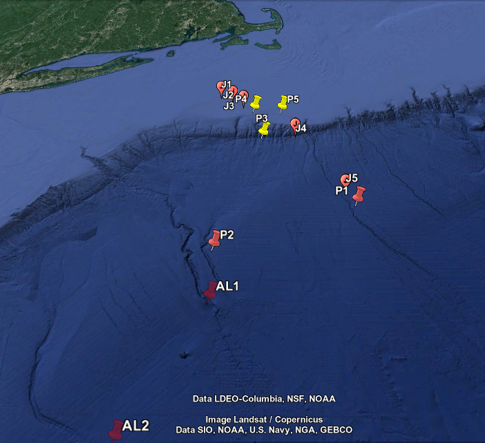
The POSYDON Engineering Sea Test 2018 occurs in the Middle Atlantic - New York Bight Region in May 2018. It is a test of both the BBN data collection instruments and the MSEAS software to be used in the upcoming August 2018 Sea Exercise.
This research is sponsored by DARPA.
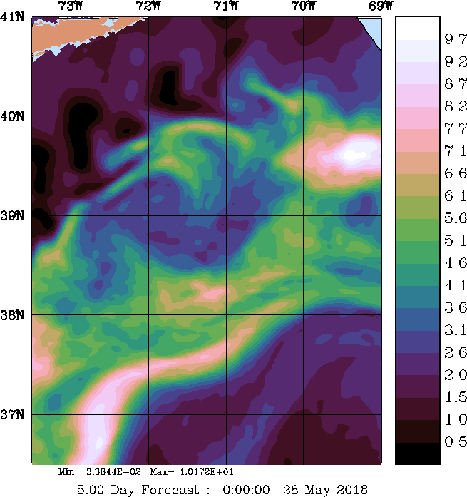
Real-time MSEAS Ensemble Forecasting
- MSEAS ocean ensemble ESSE forecasts
- MSEAS-processed atmospheric forcing flux forecasts:
- NCEP GFSp25 Daily average wind stress, E-P, heat flux, and SW Radiation
- MSEAS-processed flux forecast snapshot plots:
NCEP GFSp25 May/June 2018 S M T W T F S 20 21 22 23 24 25 26 27 28 29 30 31 1 2 - Forecast snapshot plots:
NCEP GFSp25 NCEP HIRESW 5km NCEP NAM 3km May/June 2018 S M T W T F S 20 21 22 23 24 25 26 27 28 29 30 31 1 2 May/June 2018 S M T W T F S 20 21 22 23 24 25 26 27 28 29 30 31 1 2 May/June 2018 S M T W T F S 20 21 22 23 24 25 26 27 28 29 30 31 1 2
- Marine Weather Forecasts:
- SST Images
| Top of page |
Data sources
- Ocean synoptic
- The Global Temperature and Salinity Profile Programme (GTSPP)
- National Data Buoy Center Real-Time & historical data from moored buoy & C-MAN stations
- SST Images
- Ocean historical/climatological
- NOAA/NOS tidal elevation stations
- CO-OPS current station data (historical)
- The Global Temperature and Salinity Profile Programme (GTSPP)
- Data sets & products NOAA National Centers for Environmental Information
- World Ocean Database (WOD)
-
Northeast Fisheries Science Center Ecosystem Processes Division Oceanography Branch
NMFS. Includes data from CTDs, fish hauls, hull-mounted sensors, eMOLT
moorings, drifters, etc.
- Hydrographic Conditions of the Northeast Continental Shelf Northeast Fisheries Science Center Oceanography Branch
- Data/Mapping Interface Northeast Fisheries Science Center, Oceanography Branch
- Atmospheric forcing
- Weather Research and Forecasting (WRF) Model Real-Time Forecasts
- National Centers for Environmental Prediction (NCEP) products:
- High-Resolution Window (HIRESW) (5 km resolution):
- Global Forecast System Model: version 4 (GFS), at 0.5 degree resolution (GFSp5) and also at 0.25 degree resolution (GFSp25)
- The European Centre for Medium-Range Weather Forecasts (ECMWF) ERA Intrim (global Re-Analysis)
- ESSO - Indian National Centre for Ocean Information Services (TropFlux project):
- Coupled Ocean / Atmosphere Mesoscale Prediction System (COAMPS)
- Navy Global Environmental Model (NAVGEM) products:
| Top of page |


