As part of the AFMIS/LOOPS/AOSN collaborative effort,
a 4-day long survey in the Massachusetts Bay is being carried out during
August 17-20, 1998. This survey will collect temperature, salinity, and
chlorophyll profiles at selected stations in the Bay area. Such data
will be used for initializing the Harvard Ocean Prediction System (HOPS).
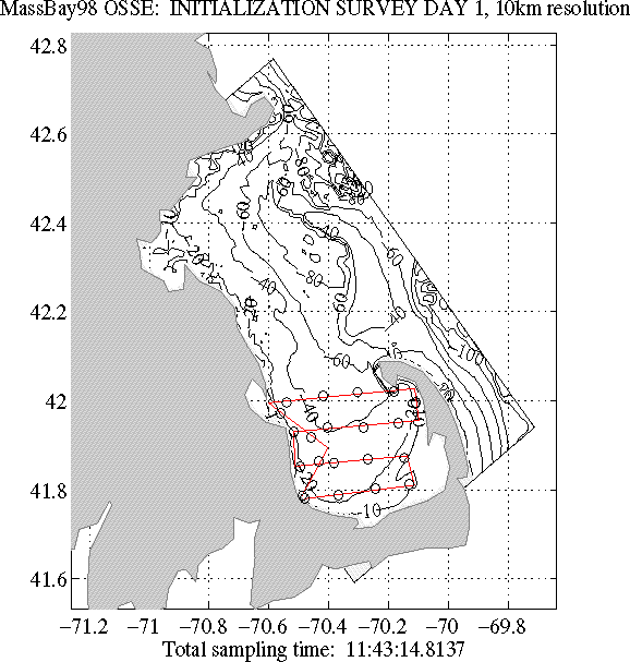
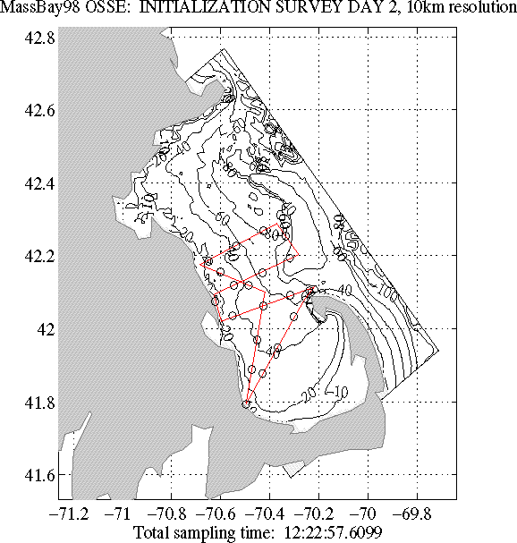
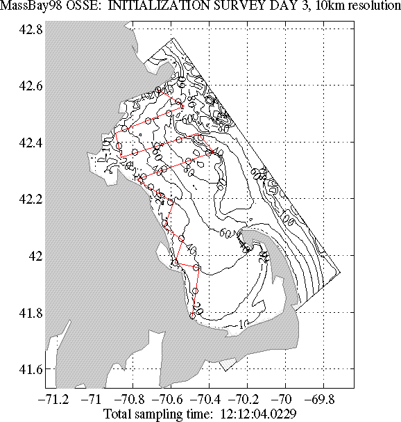
The planned cruise tracks are shown in Figures 1-4 for the four days.
Note that operations on 19August were postponed due to high winds. All operations were shifted by one day.
Data note: post cruise data processing has revealed that the
Lucky Lady salinities are low by approximately 10%. The data is being calibrated
through the use of a second CTD which was on board on August 20 and 21.
Additionally, the salinities are plagued by significant noise in the data. We
are currently attempting to remove as much of the noise as is possible. The
'Seabird format' data linked to as of this date (27 August) are the uncalibrated,
noisy form of the data. The 'Harvard format' version of the data has been
calibrated as much as possible at this time and filtered.

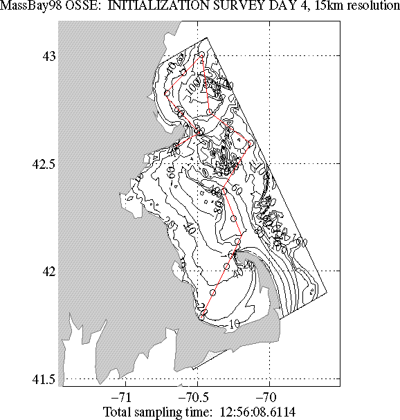
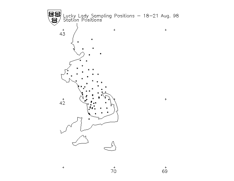
Actual Lucky Lady station positions
