Adriatic Topographies
 |
 |
| (Click on image for full resolution
figure) |
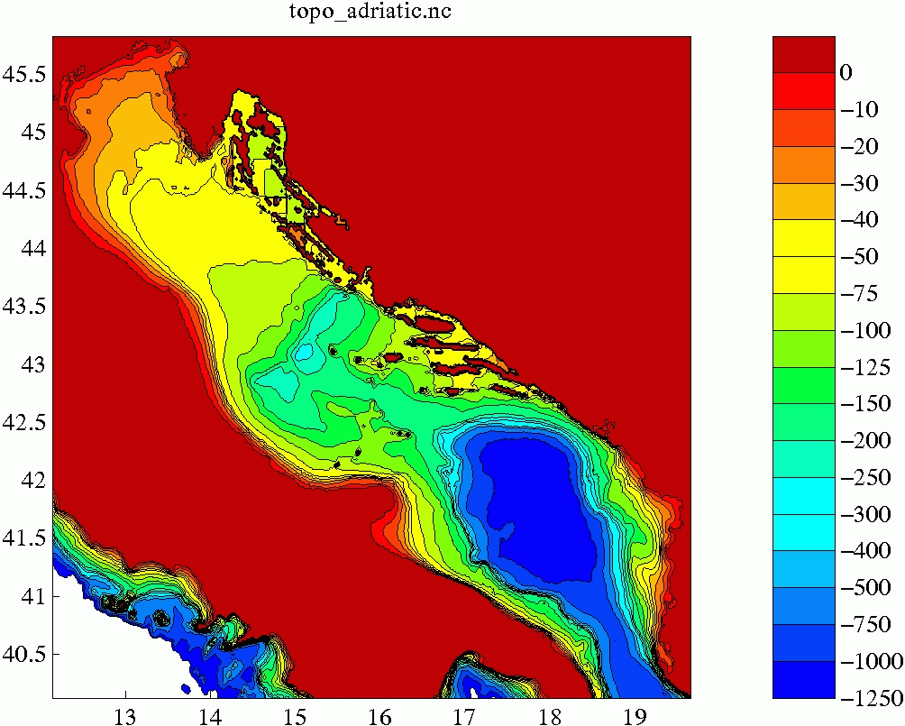
- topo_adriatic.nc.gz
- A one minute resolution topography. Derived from DBDB1 NATO Topography
with some modifications in the Spli area.
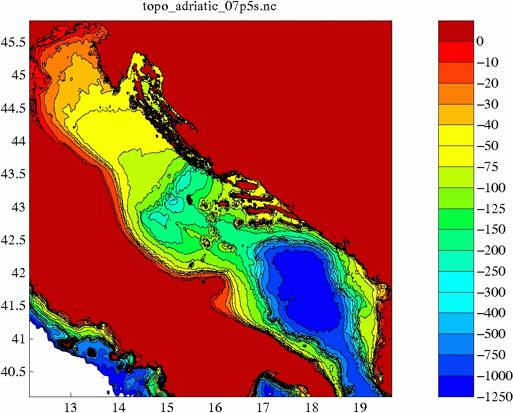
- topo_adriatic_07p5s.nc.gz
- A 7.5 second resolution topography. Taken from the NURC web site, with
fill-in from GSHHS and SRMT30.
Comparing these two topographies in the above images, one of the most
obvious differences is that the 7.5 second topography shows a greater
isolation between the mid-Adriatic holes and the southern abyss.
Nello Russo points out that the sill depth between the central and
southern Adriatic is 170m. This clearly comes down in favor of the
DBDB1 topography. Quickly looking at the remaining NURC topographies
show the same shallow sill.
 |
 |
| (Click on image for full resolution
figure) |


