|
|
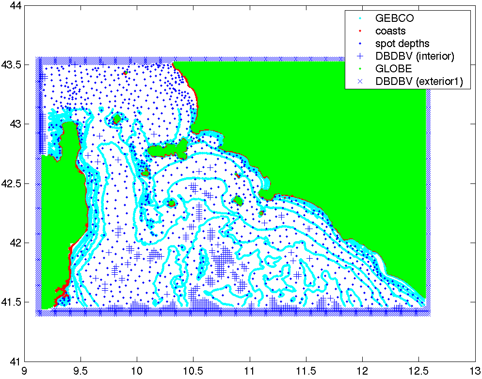
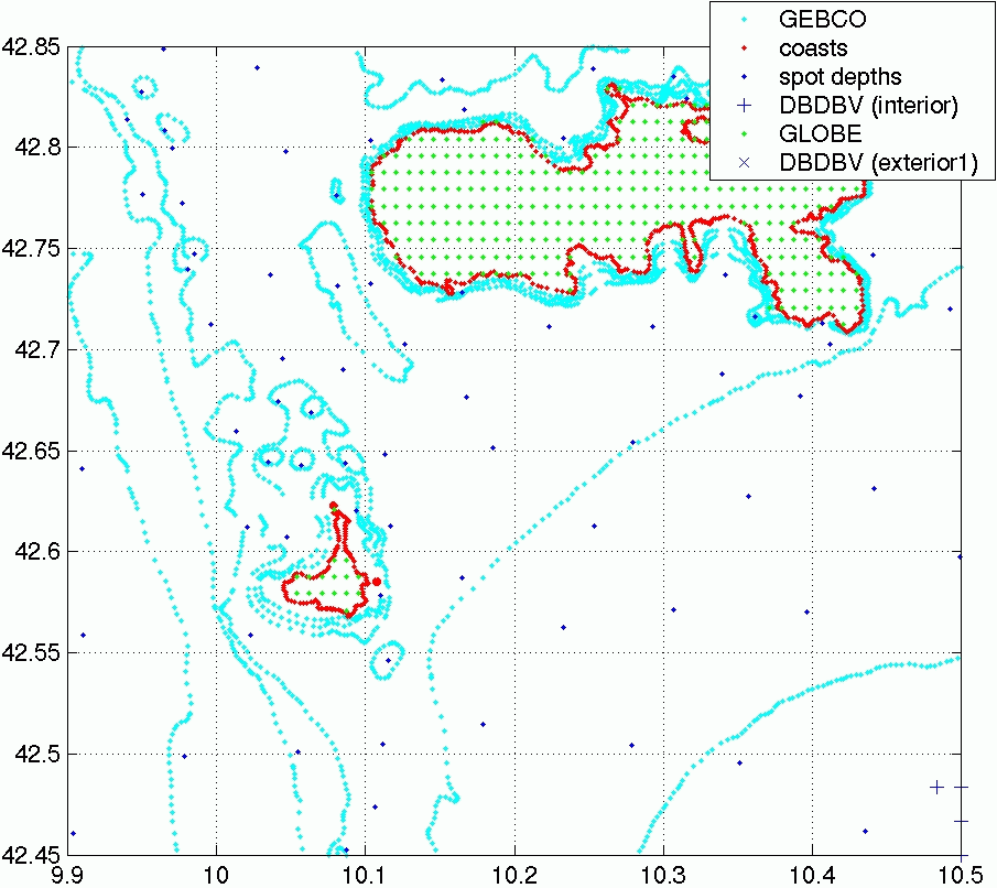
| (Click on image for full resolution figure) |
|
|
To the right are plots illustrating the data sources blended together to form the topography we used for our Corsican Channel modeling. The top plot shows the data in the entire region, the bottom plot is a zoom of the region near Elba & Pianosa. The data sources indicated are:
The first three were provided to us by Reiner. The GEBCO isobaths used were [10, 20, 30, 50, 100, 200, 500, 1000] meters.
These data were then merged using the MATLAB griddata routine onto a 1 minute grid.