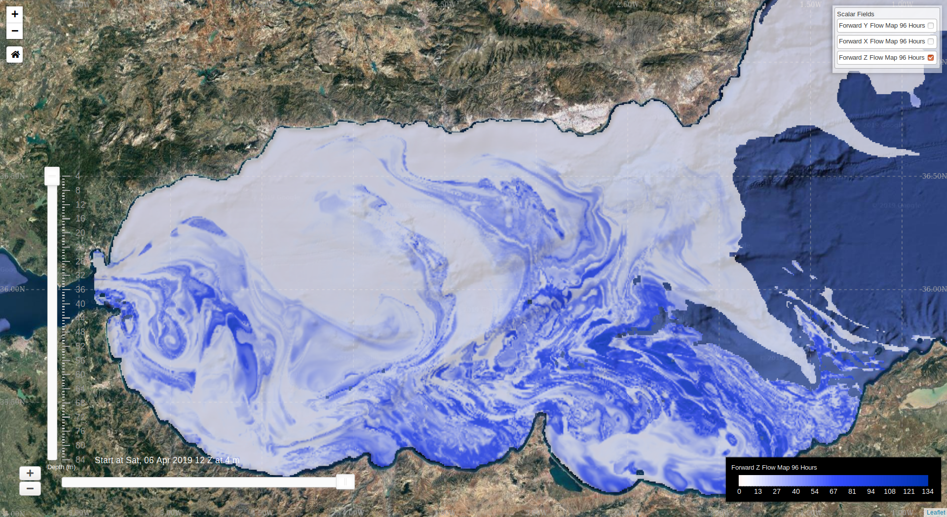
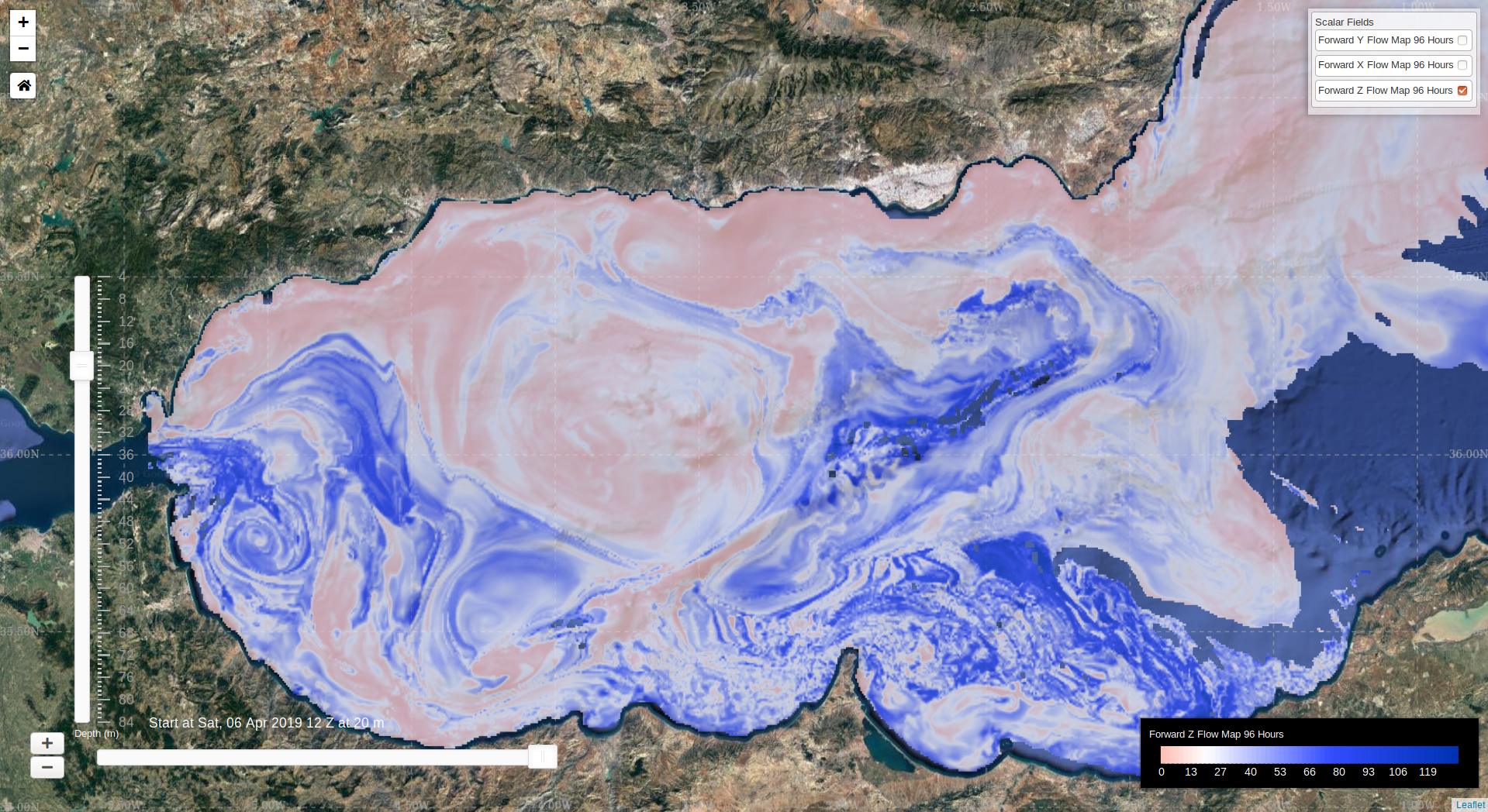
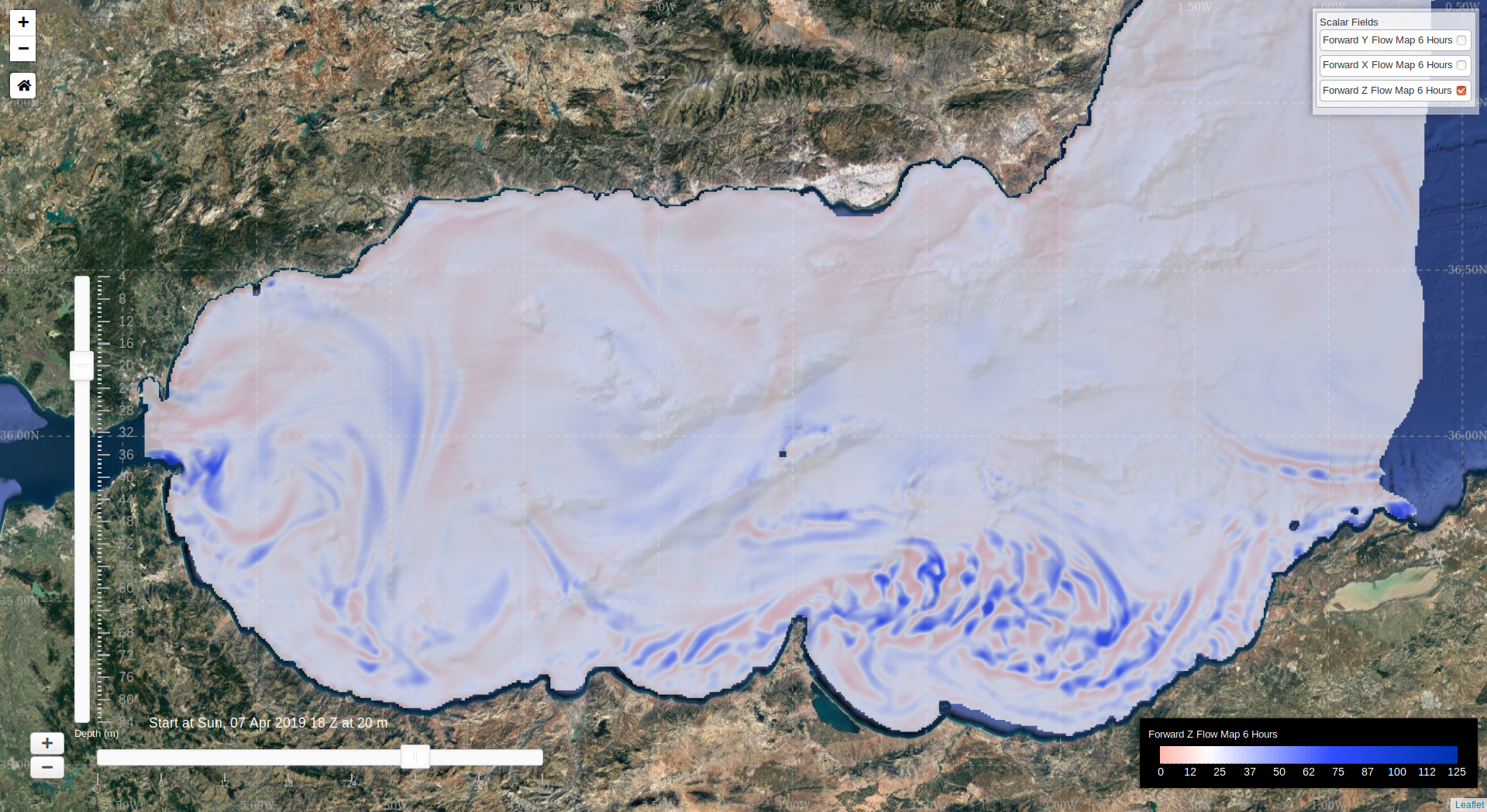
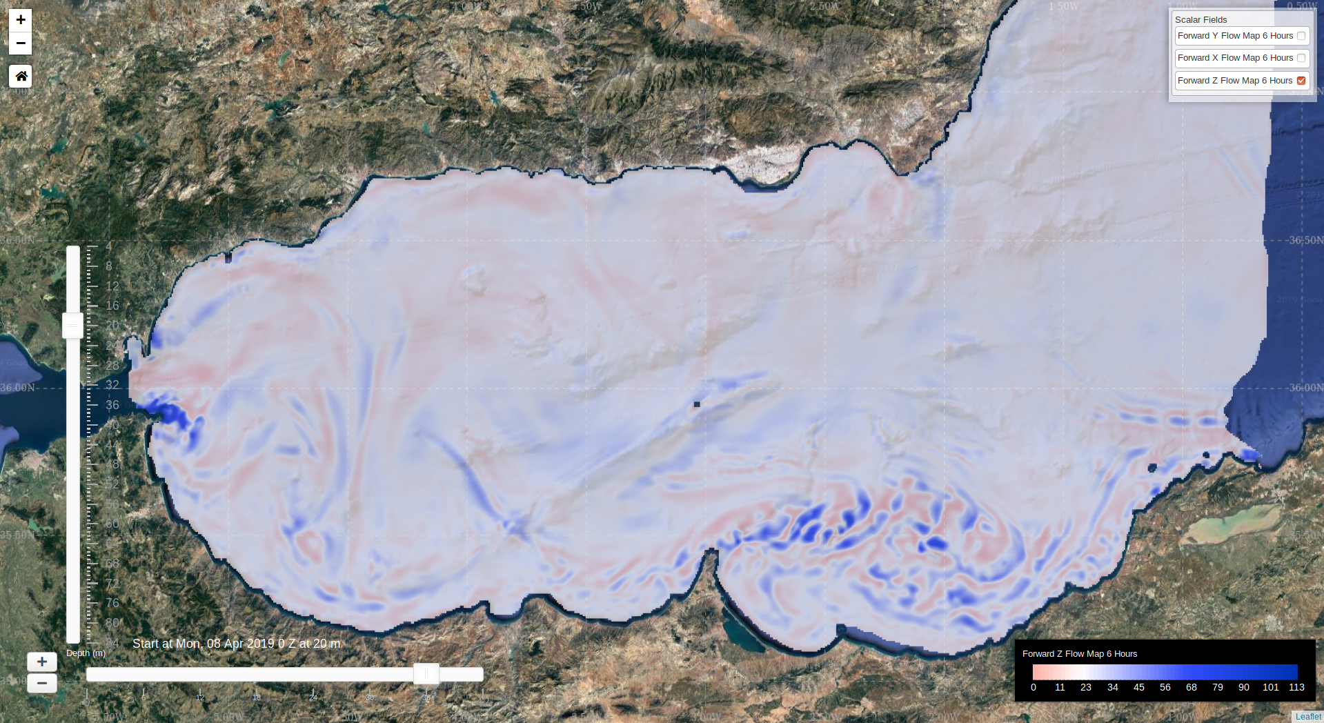
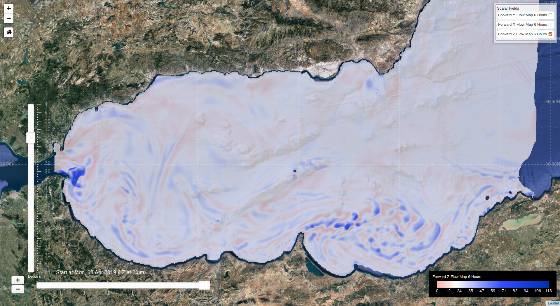
The forecast is for 12Z Apr 6 - 12Z Apr 10, 2019. What is plotted is the depth at which the water parcel will end up starting from 12Z Apr 6 at that location (i.e., it does not show where the parcel ends up horizontally).
| 4m | 20m |
|---|---|
 |
 |
| Start Date | 12:00Z | 18:00Z | 00:00Z | 06:00Z |
|---|---|---|---|---|
| April 6 |
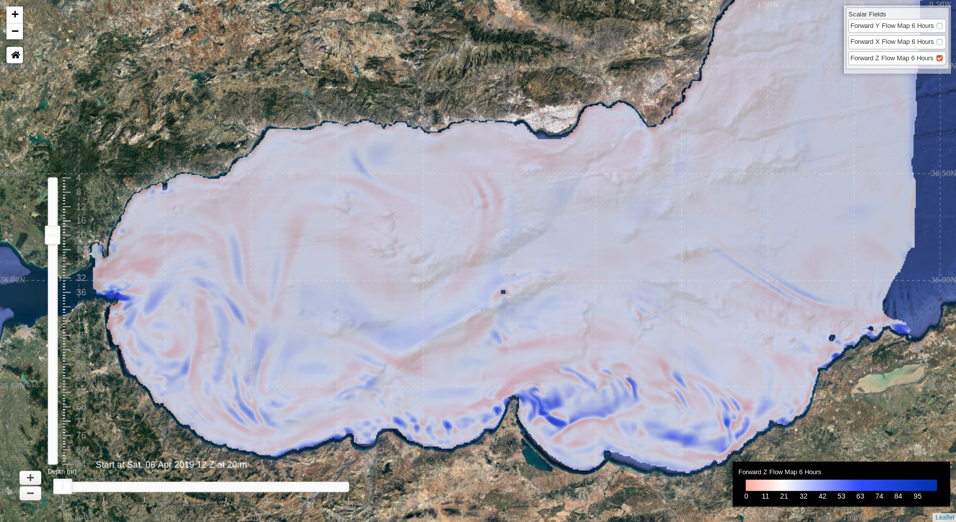 |
 |
 |
 |
| April 7 |
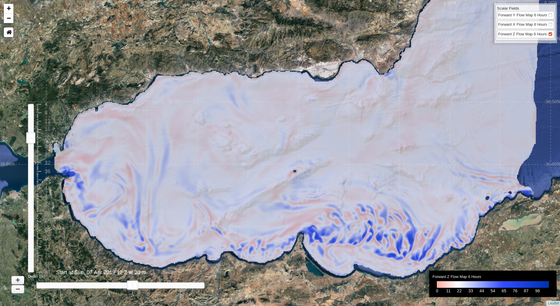 |
 |
 |
 |