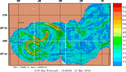
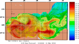
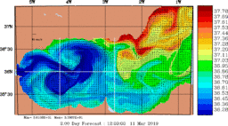
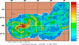
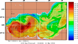
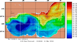
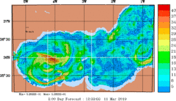
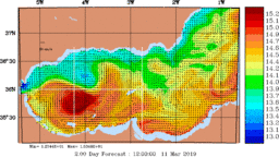
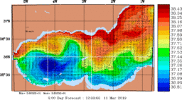
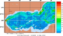
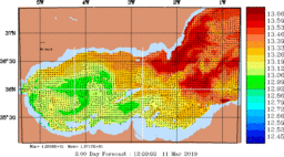
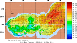
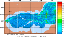
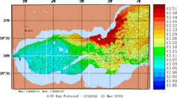
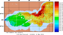
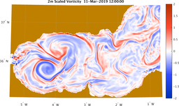
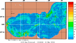
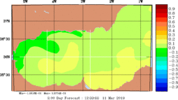
Click on any depth label for a full set of plots.
| Snapshot Time-Series of the Estimated Ocean State (every 6 hours) | |||||||||||||||||||||
|---|---|---|---|---|---|---|---|---|---|---|---|---|---|---|---|---|---|---|---|---|---|
| Full Modeling Domain (1/200° resolution) | |||||||||||||||||||||
|
|
||||||||||||||||||||
|
|
||||||||||||||||||||
|
|
||||||||||||||||||||
To obtain the MSEAS files, contact the MSEAS group.
The file names can be interpreted as follows (all times are in UTC):