Local Stochastic Prediction for UUV/USV Environmental Awareness
|
P.F.J. Lermusiaux, P.J. Haley, Jr., C. Mirabito, J. Heuss Massachusetts Institute of Technology
|
Dr. E. Coelho, Dr. K. Heaney Applied Ocean Sciences |
Project Summary Ongoing MIT-MSEAS Research Additional Links MSEAS Project-supported Publications Background Information
|

|
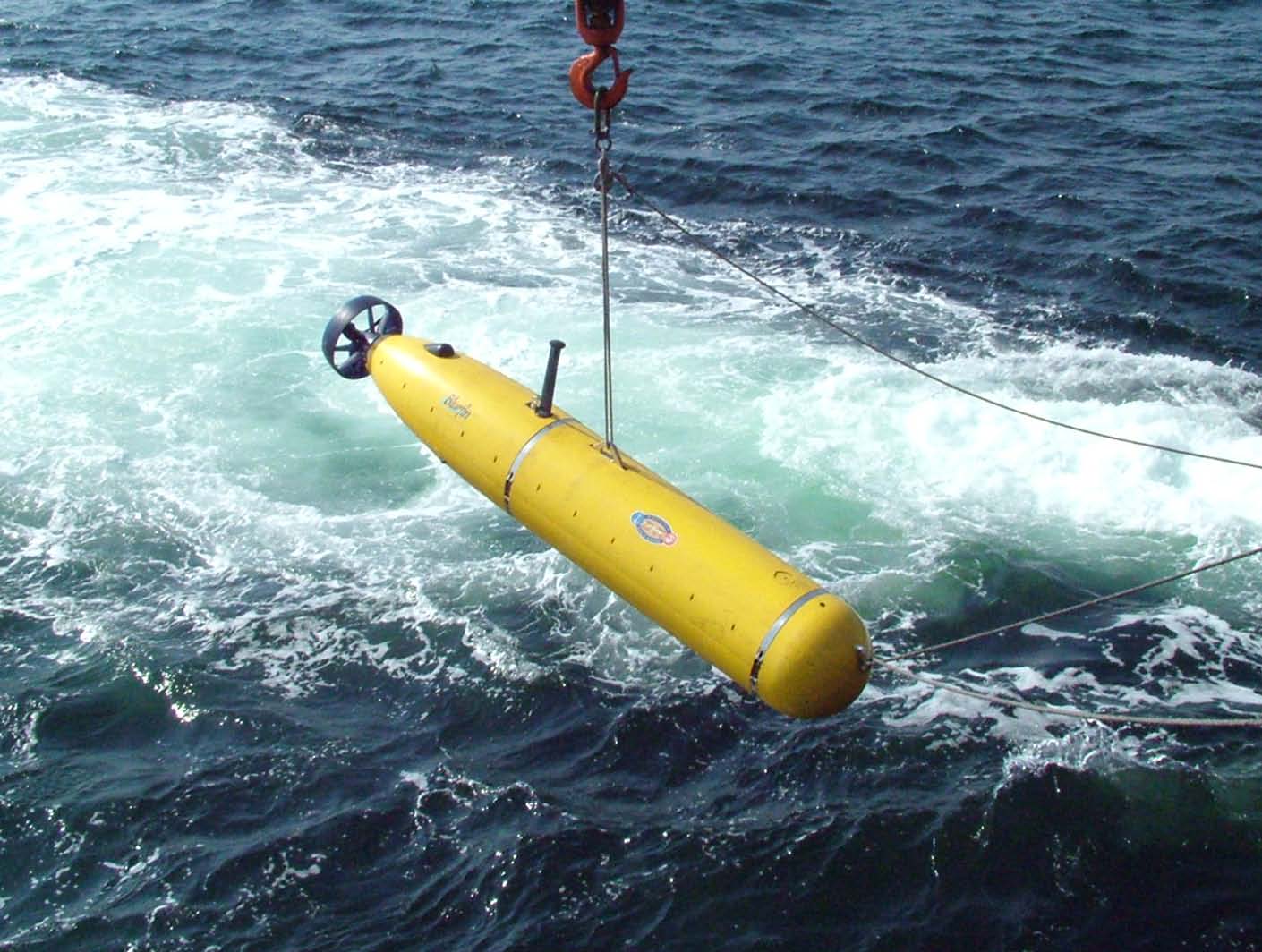
Image courtesy Bluefin Robotics Corp. |
|||
| This research is sponsored by Applied Ocean Sciences. | |||
Project Summary
We plan to collaborate with Applied Ocean Sciences (AOS) to help designing and delivering a compact system to assess local uncertainties and track the evolution of the maritime environment around unmanned platforms at sea. Such a system can run both at control centers and on-board Underwater and Surface Unmanned Vehicles (UUV/SUV) under different network bandwidth constraints. The system uses the Navy ocean forecasts for initial environmental guesses and outlooks up to 2 weeks (or more in future generations) and then implements a Reduced Order Model (ROM) derived from Dynamically Orthogonal (DO) solutions to deliver a local uncertainty picture (for the next 24-48 hours). The ROM-DO solutions will target the variables and parameters of relevance for the UUV/SUV fleet missions planning and execution. These solutions are using a set of dynamic modes from which the reduced order estimates for the parameters and variables of interest are computed. They are then integrated with the local network data collected during the past days-hours, using a non-intrusive filter, and deliver an updated local forecast for the next 12-24 hour. The new fields are then used to compute marginal and conditional probability distributions of pre-loaded dynamical functions/modes that are sent to the forward deployed platforms. These probabilities are then integrated in dedicated payloads with the platform sensor data in real-time to locally reconstruct and update the most likely environments for the next 1-12 hours. This will assure best fits to the in-situ data and sensor performance observations and updates the forecasts around the platforms. These solutions can be used for path optimization and environmental adaptation/adaptive sampling, assuming operators and/or on-board middleware software can then specify a decision point for choosing the path based on mission parameters.
Background information is available below.
| Top of page |
Ongoing MIT-MSEAS Research
Specific Objectives:
- Work with AOS and the Sponsor to help design ROMs systems
- Utilize, analyze, and implement algorithms to decompose higher order probabilistic ocean models into ROMs which can be utilized onboard UUVs/SUVs
- Develop data assimilation and learning schemes for ROMs
- Develop a set of diverse applications that may include some of the capabilities we have developed at MIT such as: Reachability studies; Time-, energy-, risk- optimal path planning; Optimal launch, pick-up and interception operations; Planning for optimal environmental energy harvesting; and/or Onboard adaptive sampling.
Publications
MSEAS Project-supported Publications
| Top of page |
Additional Links
| Top of page |
Background Information
Our research builds on years of experience in multidisciplinary fields. The MSEAS software (MSEAS Group, 2010, Haley et al., 2015) has been used for fundamental research and for simulations and forecasts of fields and uncertainties in many regions of the world's ocean (Lermusiaux et al., 2006; Leslie et al, 2008; Onken et al, 2003, 2008; Haley et al, 2009; Ramp et al., 2011; Gangopadhyay et al., 2011; Colin et al., 2013; Kelly and Lermusiaux, 2016; Lermusiaux et al., 2011, 2017a,b). Applications include: ocean monitoring (Lermusiaux et al., 2007); real-time acoustic predictions (Xu et al., 2008; Lam et al., 2009; Lermusiaux et al., 2010; Duda et al., 2011); biogeochemical-ecosystem predictions and environmental management (Besiktepe et al., 2003; Cossarini et al., 2009; Coulin et al., 2017); relocatable rapid response (e.g. Rixen et al., 2012; De Dominicis et al., 2014); planning for underwater vehicles (Schofield et al., 2010; Lolla et al., 2014a,b; Lermusiaux et al., 2016); and, adaptive sampling (Lermusiaux, 2007; Heaney et al.,2007, 2016). MSEAS has been validated in a wide range of real-time forecasting exercises. They include: AWACS and SW-06 (Haley and Lermusiaux, 2010; Colin et al., 2013); AOSN-II and MB-06 (Lermusiaux et al., 2006, Gangopadhyay et al., 2011; Ramp et al., 2011); QPE-08 and -09 (Lermusiaux et al., 2010; Gawarkiewicz et al., 2011; Lermusiaux et al., 2019); PhilEx-08 and -09 (Agarwal and Lermusiaux, 2011; Lermusiaux et al., 2011); and NASCar and FLEAT (Lermusiaux et al., 2017a,b; Pan et al., 2018). Recent exercises include Lagrangian transport studies for NSF-ALPHA and probabilistic ocean forecasting for 3D underwater positioning (DARPA-POINT).
| Top of page |


