

Advancing Gulf of Mexico Operational Forecasting
with Application to Fisheries, Industry Safety,
and Natural Hazards (GOFFISH)
|
P.F.J. Lermusiaux, P.J. Haley, Jr., C. Mirabito, V.A. Rodriguez Massachusetts Institute of Technology
|
Lead PI: E. Chassignet Florida State University |
Project Summary Ongoing MIT-MSEAS Research Additional Links MSEAS GOFFISH-supported Publications Background Information
|
|
| This research is sponsored by the The National Academies of Sciences, Engineering, and Medicine. | |||
Project Summary
This project, under lead PI Eric Chassignet (FSU), aims to achieve measurable and significant improvements in short- to medium-range (1- to 10-day), subseasonal, and long-range (3- to 6-month) prediction skill of sustained continuous operational forecasts of Gulf of Mexico (GoM) ocean dynamics. The specific objectives of the GOFFISH Consortium are to i) Improve the prediction skill for Gulf of Mexico operational forecast models run within NOAA, U.S. Navy, and industry environments by increasing and enhancing model and DA capabilities and by maximizing the use of existing and new near-real-time observations, including those adaptively deployed; ii) Develop new derived products and tools from observations and numerical models to provide skillful operational forecasts and knowledge of full-water-column currents (including upper ocean circulation and near-bottom currents); and iii) Apply improvements in hydrodynamic forecasting capabilities to hurricane forecasting and fisheries management.
The specific objectives of the MIT-MSEAS component of the research are described below.
Background information is also available below.
| Top of page |
Ongoing MIT-MSEAS Research
Task Team 2.2 Specific Objectives:
- Develop and apply probabilistic forecast and analysis techniques to quantify i) variability and uncertainty due to initial conditions, boundary conditions, and forcing, and ii) predictability limits, predictive capabilities, and operational risks for the industry.
- Apply Bayesian and other ML methods to estimate and predict ocean variables from observations and to improve existing ocean modeling systems.
- Develop and apply our data-assimilative probabilistic ocean modeling and ML tools to quantify uncertainties, predictability, and forecast risks for end-users, to complete adaptive sampling studies, and to augment Navy and NOAA prediction systems.
Real-Time Sea Exercises
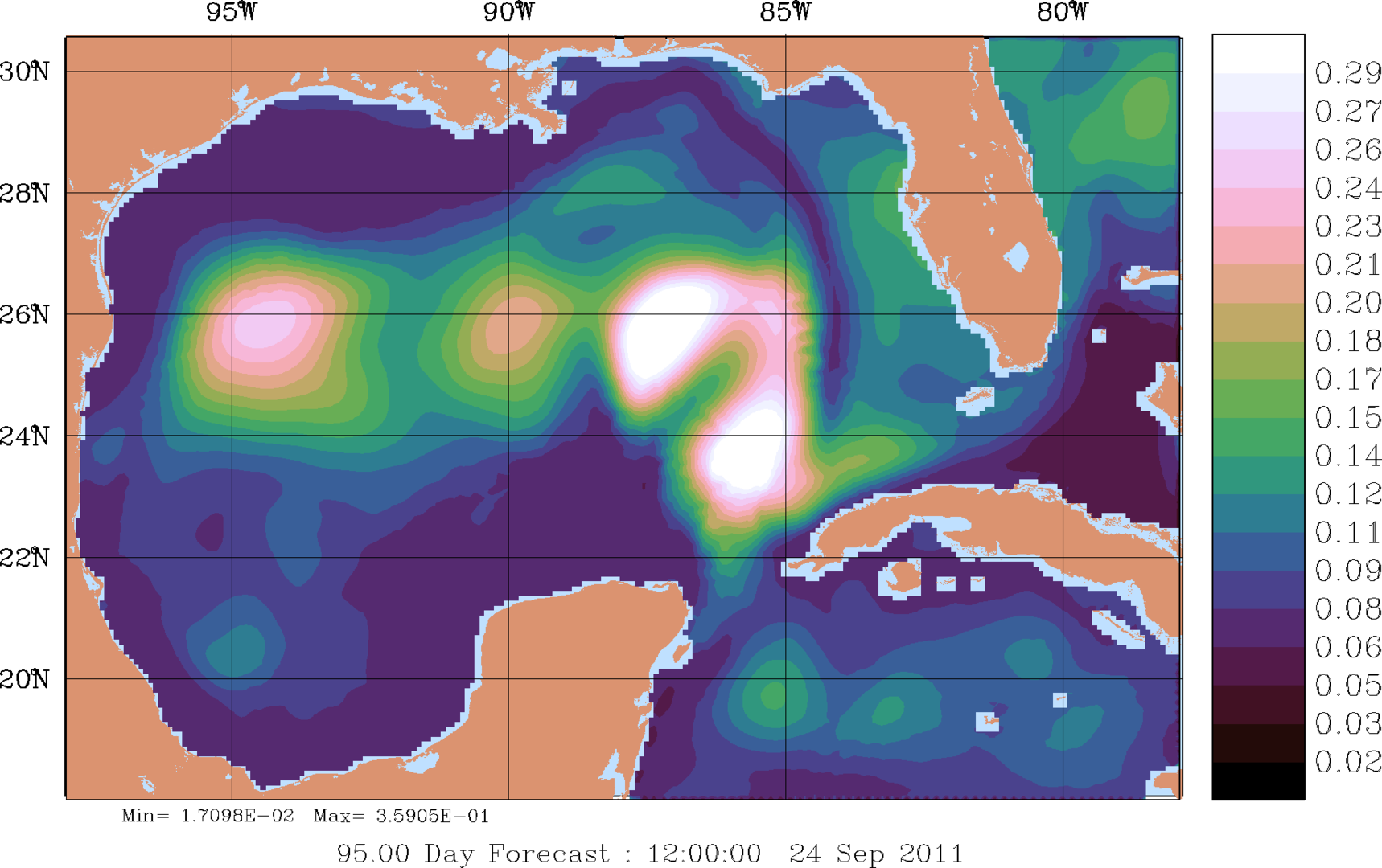
We will be conducting real-time sea exercises in the Yucatan Strait and Gulf of Mexico during February 2024. We provide varied data processed by our group, the MSEAS-PE ocean field forecasts (plus interactive maps), and more.
MASTR Real-Time Sea Exercise page
GOFFISH Team and UGOS Project Meetings
Publications
MSEAS GOFFISH-supported Publications
| Top of page |
Additional GOFFISH Links
- GOFFISH Consortium
- NAS UGOS-3 Award Description
- Understanding and Predicting the Gulf of Mexico Loop Current: Numerical Modeling (MSEAS UGOS-1 Project Home Page)
| Top of page |
Background Information
Our project team plans to develop and apply our data-assimilative probabilistic ocean modeling and ML tools to quantify uncertainties, predictability, and forecast risks for end-users, to complete adaptive sampling studies, and to augment Navy and NOAA prediction systems.
Probabilistic ocean modeling, forecasting, and analysis
To forecast uncertainties and quantify risks, we plan to start with our large-ensemble error subspace statistical estimation (ESSE) ensemble of simulations with perturbed initial conditions, boundary conditions, and stochastic forcing (Lermusiaux et al., 2007, 2017a).
DO-PEs. We then expect to use differential dynamical-orthogonal (DO) equations for optimal reduced-order stochastic predictions (Sapsis and Lermusiaux, 1999; Ueckermann et al., 2013; Feppon and Lermusiaux, 2018a,b). DO systems can provide predictions of LC probabilities with a massive number of realizations (e.g., the equivalent of 105–107 Monte Carlo forecasts), allowing accurate computation of probability density functions (pdfs) due to uncertainties in the forcing and initial and boundary conditions. As a result, we can then compute accurate predictability limits and predictive capabilities based on information-theoretic metrics. Several of these metrics employ mutual information (Lermusiaux et al., 2017b) that naturally handles non-Gaussian effects, the relations between vectors instead of scalars, and the expected observation errors.
Risks. Using the forecast pdfs, we plan to assess future risks for end-users (e.g. oil and gas industry), using the users’ risk profiles (e.g. Subramani and Lermusiaux, 2019). We plan to complete such risks assessments for several GoM background states, in accord with end-users needs.
Principled adaptive sampling
We intend to develop and test principled adaptive sampling schemes for physical dynamics in the GoM, with an emphasis on mutual information-based criteria (Lolla, 2016; Lermusiaux et al., 2017a,b). For ocean platforms, we plan to first predict the regions that observing assets could reach in the future, e.g. for several days to weeks in the GoM, using our path planning and reachability forecasts (Lermusiaux et al., 2016, 2017). Within these reachable regions, we then predict the locations and paths that provide the most information about the ocean variables, regions and times selected by end-users, using dynamic programming and information-theoretic methods (Lermusiaux et al., 2017; Lolla, 2017; Lin, 2021). We also expect to investigate the impact of deep data on improving the longer-terms (1-3 months) forecasts. We can also include acoustical and biogeochemical dynamics in such studies. Adaptive sampling questions that we can answer include: i) What, where, and when to observe to maximize the predictive capability of a LC extension event or eddy formation that is relevant to end-users? ii) How many in-situ platforms are needed for a given region, dynamics, and accuracy? iii) What is the ideal combination of remote and in-situ sensing for given forecasting or learning objectives?
Bayesian learning, neural closure modeling, and machine learning
Bayesian Learning. We plan to develop and use principled data-driven Bayesian learning and deep neural networks for improving forecasts and learning model formulations themselves. Specifically, we expect to use dynamically-based Bayesian learning (Lu and Lermusiaux, 2014, 2021; Lin and Lermusiaux, 2021; Gupta and Lermusiaux, 2021b) to learn model formulations and parameterizations from sparse data, integrating over state variables and parameter values, and enabling a principled Bayesian update of model distributions. This learning method can select the most accurate parameterizations among those used by existing ocean modeling systems, for example, submesoscale closures, biogeochemical-fish interactions, or oil spill model parameterizations.
Neural closure modeling. We also plan to use novel delay-differential-equations-based ML framework to learn time-delayed closure parameterizations for low-fidelity models using data from high-fidelity simulations or high-resolution observations (Gupta and Lermusiaux, 2021a). For this project, we intend to employ and extend our neural closure modeling schemes to study and improve the surface parameterizations in the existing ocean modeling systems, learning from high-resolution surface data sets and high-resolution ocean simulations.
ML for transports. New ML schemes, e.g. LSTM and graph neural networks (GNNs), are also planned to be used to predict transport features and coherent structures using SST or SSS fields, without a priori knowing the underlying flow field (Kulkarni, 2021; Kulkarni and Lermusiaux, 2021). To achieve this, we plan to combine SST, SSH, and SSS data with trajectory data to infer and predict surface transport properties for end-user applications in the GoM (e.g., surface pollution, search and rescue).
Machine Learning with ROMS and DA. We also intend to augment the ROMS DA system by applying and developing new XAI and ML techniques to improve the fidelity and computational efficiency of the DA system, to extract information from both observations and model output, and to post-process system output for feature detection and extreme event prediction. Neural networks are planned to be used in DA packages to assimilate LC and associated eddies position from satellite ocean color images.
| Top of page |